How to get to Point by bus?
Click on the bus route to see step by step directions with maps, line arrival times and updated time schedules.
From Embassy Of Pakistan, Washington
89 minFrom Days Inn Connecticut Ave, Washington
67 minFrom Washington Harbor, Washington
67 minFrom Yours Truly, Washington
59 minFrom United States Patent & Trademark Office (USPTO), Alexandria
85 minFrom Rock Creek Tennis Center, Washington
70 minFrom Barcelona Wine Bar - 14th Street, Washington
41 minFrom Pitchers Cafe, Washington
55 minFrom Fannie Mae, Washington
75 minFrom Wegmans, Washington
77 min
How to get to Point by train?
Click on the train route to see step by step directions with maps, line arrival times and updated time schedules.
How to get to Point by metro?
Click on the metro route to see step by step directions with maps, line arrival times and updated time schedules.
From Embassy Of Pakistan, Washington
61 minFrom Days Inn Connecticut Ave, Washington
50 minFrom Washington Harbor, Washington
56 minFrom Yours Truly, Washington
50 minFrom United States Patent & Trademark Office (USPTO), Alexandria
55 minFrom Barcelona Wine Bar - 14th Street, Washington
48 minFrom Pitchers Cafe, Washington
56 minFrom Fannie Mae, Washington
61 minFrom Wegmans, Washington
63 min
Bus stops near Point in Washington
Metro station near Point in Washington
- L'Enfant Plaza, 14 min walk,VIEW
What are the closest stations to Point?
The closest stations to Point are:
- V St Sw+1 St SW is 7 yards away, 1 min walk.
- L'Enfant Plaza is 1083 yards away, 14 min walk.
- S Capitol St Se+Firth Sterling Av SE is 2454 yards away, 30 min walk.
Which bus line stops near Point?
C55 (East To Buzzard Point)
Which train line stops near Point?
MANASSAS LINE (Broad Run)
Which metro line stops near Point?
GREEN (Branch Av)
What’s the nearest metro station to Point in Washington?
The nearest metro station to Point in Washington is L'Enfant Plaza. It’s a 14 min walk away.
What’s the nearest bus station to Point in Washington?
The nearest bus station to Point in Washington is V St Sw+1 St SW. It’s a 1 min walk away.
What time is the first metro to Point in Washington?
The GREEN is the first metro that goes to Point in Washington. It stops nearby at 5:13 AM.
What time is the last metro to Point in Washington?
The GREEN is the last metro that goes to Point in Washington. It stops nearby at 12:20 AM.
What time is the first train to Point in Washington?
The MANASSAS LINE is the first train that goes to Point in Washington. It stops nearby at 6:12 AM.
What time is the last train to Point in Washington?
The MANASSAS LINE is the last train that goes to Point in Washington. It stops nearby at 7:08 PM.
What time is the first bus to Point in Washington?
The C21 is the first bus that goes to Point in Washington. It stops nearby at 3:07 AM.
What time is the last bus to Point in Washington?
The C21 is the last bus that goes to Point in Washington. It stops nearby at 3:14 AM.
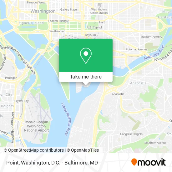
See Point, Washington, on the map
Public Transit to Point in Washington
Wondering how to get to Point in Washington? Moovit helps you find the best way to get to Point with step-by-step directions from the nearest public transit station.
Moovit provides free maps and live directions to help you navigate through your city. View schedules, routes, timetables, and find out how long does it take to get to Point in real time.
Looking for the nearest stop or station to Point? Check out this list of stops closest to your destination: V St Sw+1 St SW; L'Enfant Plaza; S Capitol St Se+Firth Sterling Av SE.
Bus: C55, C21.Train: MANASSAS LINE.Metro: GREEN, BLUE, ORANGE, SILVER, YELLOW.
Want to see if there’s another route that gets you there at an earlier time? Moovit helps you find alternative routes or times. Get directions from and directions to Point easily from the Moovit App or Website.
We make riding to Point easy, which is why over 1.5 million users, including users in Washington, trust Moovit as the best app for public transit. You don’t need to download an individual bus app or train app, Moovit is your all-in-one transit app that helps you find the best bus time or train time available.
For information on prices of bus, metro and train, costs and ride fares to Point, please check the Moovit app.
Use the app to navigate to popular places including to the airport, hospital, stadium, grocery store, mall, coffee shop, school, college, and university.
Point Address: 2100 2nd St SW street in Washington
- James Creek Marina,
- National War College,
- Oviar Global Resilience Systems,
- Watermark at Buzzard Point,
- Fort Lesley J. McNair,
- National Defense University,
- Audi Field,
- Verge,
- Sandlot Southwest,
- Fort McNair Officers Club,
- Buzzard Point,
- Fuku - Audi Field,
- Gary S Reed Store,
- White House Communications Agency,
- Fort McNair Gate,
- Q St SW 2nd St,
- Cambria Hotel Washington D.C. Capitol Riverfront,
- Cambria Hotel,
- Frederick Douglass Memorial Bridge,
- Solace Outpost Navy Yard
Places Near Point (Washington)
- Washington National Cathedral, Washington,
- Marriott Marquis Washington, DC, Washington,
- Rock Creek Tennis Center, Washington,
- PG Mall, Prince George's County,
- Pennsylvania Ave NW (3rd st and pennsylvania), Washington,
- Camden Yards, Baltimore,
- The Anthem, Washington,
- Warner Theatre, Washington,
- Basilica of the National Shrine, Washington,
- National Zoo, Washington,
- M&T Bank Stadium, Baltimore,
- National Museum of African American History and Culture, Washington,
- Washington DC VA Medical Center, Washington,
- Museum Of The Bible, Washington,
- Westfield Montgomery Mall, Montgomery County,
- Amazon Hq2, Arlington County,
- Georgetown, Washington,
- Capital One Arena, Washington,
- Sibley Memorial Hospital, Washington,
- National Theatre, Washington
How to get to popular places in Washington, D.C. - Baltimore, MD with public transit
Get around Washington by public transit!
Traveling around Washington has never been so easy. See step by step directions as you travel to any attraction, street or major public transit station. View bus and train schedules, arrival times, service alerts and detailed routes on a map, so you know exactly how to get to anywhere in Washington.
When traveling to any destination around Washington use Moovit's Live Directions with Get Off Notifications to know exactly where and how far to walk, how long to wait for your line, and how many stops are left. Moovit will alert you when it's time to get off — no need to constantly re-check whether yours is the next stop.
Wondering how to use public transit in Washington or how to pay for public transit in Washington? Moovit public transit app can help you navigate your way with public transit easily, and at minimum cost. It includes public transit fees, ticket prices, and costs. Looking for a map of Washington public transit lines? Moovit public transit app shows all public transit maps in Washington with all Bus, Train, Metro, Light Rail and Ferry routes and stops on an interactive map.
Washington, D.C. - Baltimore, MD has 5 transit type(s), including: Bus, Train, Metro, Light Rail and Ferry, operated by several transit agencies, including WMATA, Montgomery County Ride On, Fairfax Connector, TheBus, PRTC, DASH - Alexandria, Arlington Transit (ART), RTA of Central Maryland, MDOT MTA, MDOT MTA Light RailLink, MDOT MTA Commuter Bus, MDOT MTA Local Bus, FXBGO!, Virginia Railway Express (VRE) and MARC