How to get to Pollería Callito by bus?
Click on the bus route to see step by step directions with maps, line arrival times and updated time schedules.
From La Aurora Residencial, Aguascalientes
63 minFrom Balcones de Oriente, Aguascalientes
31 minFrom Imss Clinica 2, Aguascalientes
37 minFrom Fiscalía General Del Edo. De Ags, Aguascalientes
67 minFrom Fracc. Villas Del Pilar, Aguascalientes
56 minFrom Fraccionamiento "El Reencuentro", Aguascalientes
55 minFrom Recinto Apalilla 404 113, Aguascalientes
36 minFrom Consultorio Redd Radiologia Especializada Dental Digital, Aguascalientes
36 minFrom Fraccionamiento Villa Gernika, Aguascalientes
48 minFrom Hopaliz Eventos, Aguascalientes
54 min
Bus stops near Pollería Callito in Aguascalientes
Bus lines to Pollería Callito in Aguascalientes
What are the closest stations to Pollería Callito?
The closest stations to Pollería Callito are:
- Ermita De San Sebastián 183 is 193 meters away, 3 min walk.
- Avenida Siglo Xxi, 16 is 204 meters away, 3 min walk.
Which bus lines stop near Pollería Callito?
These bus lines stop near Pollería Callito: RUTA 23, RUTA 30, RUTA 34, RUTA 37, RUTA 50.
What’s the nearest bus station to Pollería Callito in Aguascalientes?
The nearest bus stations to Pollería Callito in Aguascalientes are Ermita De San Sebastián 183 and Avenida Siglo Xxi, 16. The closest one is a 3 min walk away.
What time is the first bus to Pollería Callito in Aguascalientes?
The RUTA 30 is the first bus that goes to Pollería Callito in Aguascalientes. It stops nearby at 5:55 AM.
What time is the last bus to Pollería Callito in Aguascalientes?
The RUTA 43 is the last bus that goes to Pollería Callito in Aguascalientes. It stops nearby at 10:44 PM.
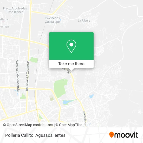
See Pollería Callito, Aguascalientes, on the map
Public Transit to Pollería Callito in Aguascalientes
Wondering how to get to Pollería Callito in Aguascalientes? Moovit helps you find the best way to get to Pollería Callito with step-by-step directions from the nearest public transit station.
Moovit provides free maps and live directions to help you navigate through your city. View schedules, routes, timetables, and find out how long does it take to get to Pollería Callito in real time.
Looking for the nearest stop or station to Pollería Callito? Check out this list of stops closest to your destination: Ermita De San Sebastián 183; Avenida Siglo Xxi.
Bus: RUTA 23, RUTA 30, RUTA 34, RUTA 37, RUTA 50, RUTA 08, RUTA 43, RUTA 43.
Want to see if there’s another route that gets you there at an earlier time? Moovit helps you find alternative routes or times. Get directions from and directions to Pollería Callito easily from the Moovit App or Website.
We make riding to Pollería Callito easy, which is why over 1.5 million users, including users in Aguascalientes, trust Moovit as the best app for public transit. You don’t need to download an individual bus app or train app, Moovit is your all-in-one transit app that helps you find the best bus time or train time available.
For information on prices of bus, costs and ride fares to Pollería Callito, please check the Moovit app.
Use the app to navigate to popular places including to the airport, hospital, stadium, grocery store, mall, coffee shop, school, college, and university.
Pollería Callito Address: Calle Francisco Tenamaztle, Ntra Sra de la Asunción Sect S Marc, 20126 Aguascalientes, Aguascalient street in Aguascalientes
- Fruteria,
- Outlet Shoes Angel,
- Cocina Economica,
- ENFRUTA2,
- Snack Zone,
- Paletería,
- Pizza Box,
- Bionicos,
- Supersito,
- Venta de Accesorios,
- Remate de Muebles,
- Abarrotes ABC,
- Venta de Nieve Paletas y Dulces,
- Venta de Jugos,
- Novedades Ycosmeticos,
- Sauags Servicio Industrial,
- Lechería Liconsa,
- Perfectimagen,
- Papeleria Sarita,
- Gym Bros
Places Near Pollería Callito (Aguascalientes)
- Centro Comercial Altaria, Aguascalientes,
- Aeropuerto de Aguascalientes S.A. de C.V., Aguascalientes,
- Centro, Aguascalientes,
- Hospital Imss No. 3, Aguascalientes,
- Parque Las Tres Centurias, Aguascalientes,
- Jesús María, Aguascalientes,
- clinica 3 uaa, Aguascalientes,
- Ciudad industrial, Aguascalientes,
- La Isla San Marcos, Aguascalientes,
- Isla San Marcos, Aguascalientes,
- Universidad Autónoma de Aguascalientes, Aguascalientes,
- Villas de Nuestra Señora de la Asunción, Aguascalientes,
- Imss Clinica 1, Aguascalientes,
- Villasuncion, Aguascalientes,
- Central De Autobuses, Aguascalientes,
- Blvd. Luis Donaldo Colosio, Aguascalientes,
- Agropecuario, Aguascalientes,
- Nuevo Hospital Hidalgo, Aguascalientes,
- ESPACIOS, Aguascalientes,
- Terminal De Combis, Aguascalientes
How to get to popular places in Aguascalientes with public transit
Get around Aguascalientes by public transit!
Traveling around Aguascalientes has never been so easy. See step by step directions as you travel to any attraction, street or major public transit station. View bus and train schedules, arrival times, service alerts and detailed routes on a map, so you know exactly how to get to anywhere in Aguascalientes.
When traveling to any destination around Aguascalientes use Moovit's Live Directions with Get Off Notifications to know exactly where and how far to walk, how long to wait for your line, and how many stops are left. Moovit will alert you when it's time to get off — no need to constantly re-check whether yours is the next stop.
Wondering how to use public transit in Aguascalientes or how to pay for public transit in Aguascalientes? Moovit public transit app can help you navigate your way with public transit easily, and at minimum cost. It includes public transit fees, ticket prices, and costs. Looking for a map of Aguascalientes public transit lines? Moovit public transit app shows all public transit maps in Aguascalientes with all bus routes and stops on an interactive map.
Aguascalientes has 1 transit type(s), including: bus, operated by several transit agencies, including Coordinación General de Movilidad