Ponceau stop - Thursday schedule
| Line | Direction | Time |
|---|---|---|
| 6540 | Gare de Conflans - Fin-D'Oise | 6:19 AM |
| 6540 | Gare de Conflans - Fin-D'Oise | 6:44 AM |
| 6540 | Gare de Conflans - Fin-D'Oise | 7:10 AM |
| 6540 | Gare de Conflans - Fin-D'Oise | 7:23 AM |
| 6540 | Gare de Conflans - Fin-D'Oise | 7:36 AM |
| 6540 | Gare de Conflans - Fin-D'Oise | 7:58 AM |
| 6540 | Gare de Conflans - Fin-D'Oise | 8:16 AM |
| 6540 | Gare de Conflans - Fin-D'Oise | 8:31 AM |
| 6540 | Gare de Conflans - Fin-D'Oise | 8:51 AM |
| 6540 | Gare de Conflans - Fin-D'Oise | 9:06 AM |
| 6540 | Gare de Conflans - Fin-D'Oise | 9:26 AM |
| 6540 | Gare de Conflans - Fin-D'Oise | 9:51 AM |
| 6540 | Gare de Conflans - Fin-D'Oise | 10:26 AM |
| 6540 | Gare de Conflans - Fin-D'Oise | 11:26 AM |
| 6540 | Gare de Conflans - Fin-D'Oise | 12:26 PM |
| 6540 | Gare de Conflans - Fin-D'Oise | 1:31 PM |
| 6591 | Martelet | 1:46 PM |
| 6540 | Gare de Conflans - Fin-D'Oise | 2:31 PM |
| 6540 | Gare de Conflans - Fin-D'Oise | 3:26 PM |
| 6540 | Gare de Conflans - Fin-D'Oise | 3:51 PM |
| 6540 | Gare de Conflans - Fin-D'Oise | 4:06 PM |
| 6540 | Gare de Conflans - Fin-D'Oise | 4:21 PM |
| 6540 | Gare de Conflans - Fin-D'Oise | 4:36 PM |
| 6540 | Gare de Conflans - Fin-D'Oise | 4:56 PM |
| 6540 | Gare de Conflans - Fin-D'Oise | 5:17 PM |
Directions to Ponceau stop (Andrésy) with public transit
The following transit lines have routes that pass near Ponceau
 Train: J.
- Bus: 6540, 6574, 6591, 5441, N155.
How to get to Ponceau stop by bus?
Click on the bus route to see step by step directions with maps, line arrival times and updated time schedules.
How to get to Ponceau stop by train?
Click on the train route to see step by step directions with maps, line arrival times and updated time schedules.
Bus stops near Ponceau stop in Andrésy
- Ponceau, 1 min walk,
- Gare D'Andrésy - Les Coutayes, 9 min walk,
- Stade, 16 min walk,
Train stations near Ponceau station in Andrésy
- Andrésy, 10 min walk,
Bus lines to Ponceau stop in Andrésy
- 6540, Gare Routière Nord (B4),
- 6591, Stellantis,
- 5441, Gare Place Romagné,
- N155, Gare Saint-Lazare,
- 6541, Gare de Vernouillet - Verneuil (1b),
What are the closest stations to Ponceau?
The closest stations to Ponceau are:
- Ponceau stop is 35 meters away, 1 min walk.
- Gare D'Andrésy - Les Coutayes stop is 692 meters away, 9 min walk.
- Andrésy station is 725 meters away, 10 min walk.
- Stade stop is 1191 meters away, 16 min walk.
Which train line stops near Ponceau?
J (Paris-Saint-Lazare)
Which bus lines stop near Ponceau?
These bus lines stop near Ponceau: 6540, 6574.
What’s the nearest train station to Ponceau in Andrésy?
The nearest train station to Ponceau in Andrésy is Andrésy. It’s a 10 min walk away.
What’s the nearest bus station to Ponceau in Andrésy?
The nearest bus station to Ponceau in Andrésy is Ponceau. It’s a 1 min walk away.
What time is the first train to Ponceau in Andrésy?
The J is the first train that goes to Ponceau in Andrésy. It stops nearby at 5:13 AM.
What time is the last train to Ponceau in Andrésy?
The J is the last train that goes to Ponceau in Andrésy. It stops nearby at 10:58 PM.
What time is the first bus to Ponceau in Andrésy?
The 6591 is the first bus that goes to Ponceau in Andrésy. It stops nearby at 4:38 AM.
What time is the last bus to Ponceau in Andrésy?
The N155 is the last bus that goes to Ponceau in Andrésy. It stops nearby at 3:50 AM.
Ponceau station
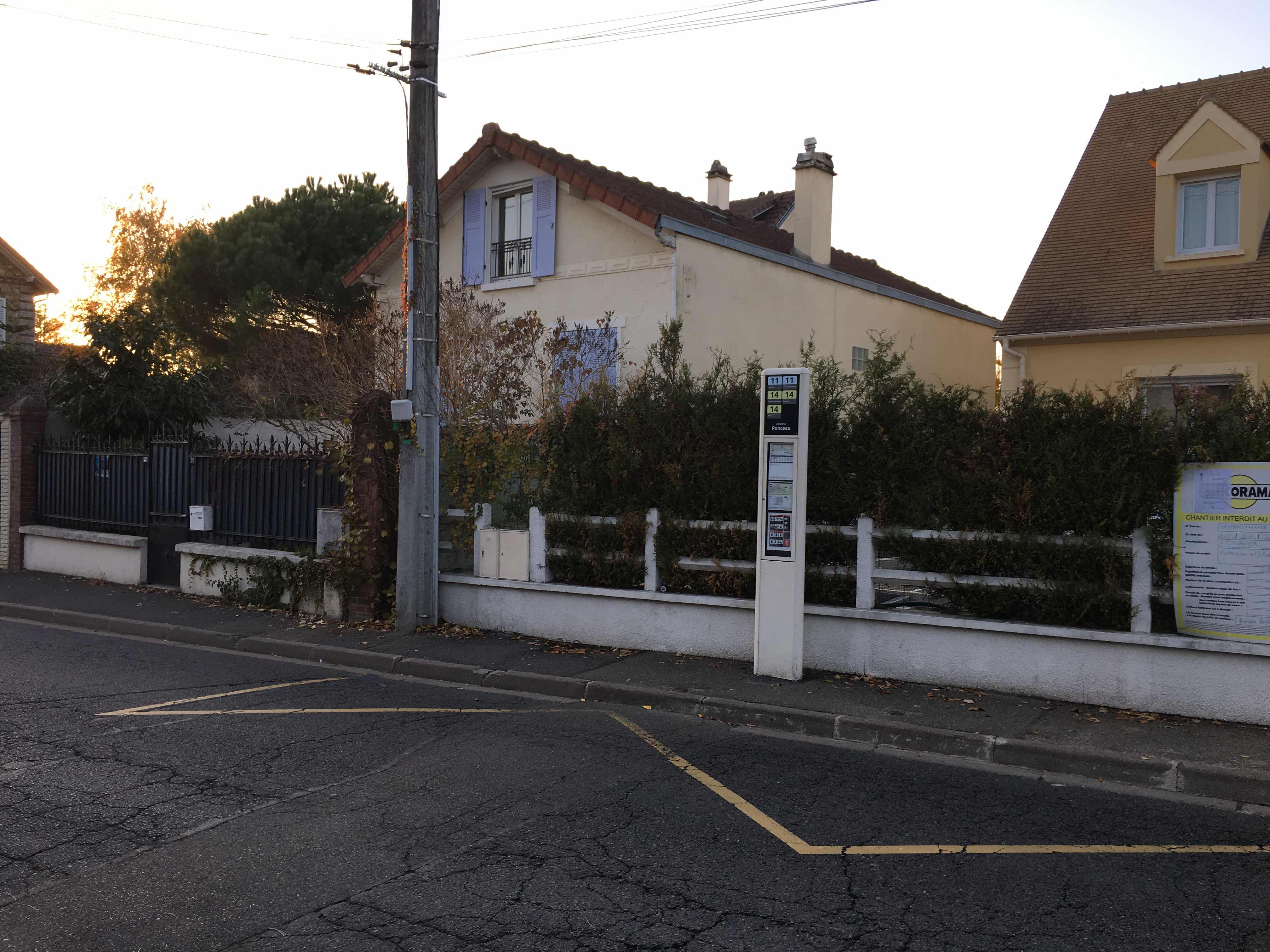 Taken by Mirek G.
See Ponceau stop, Andrésy, on the map
Public transit to Ponceau stop in Andrésy
Looking for directions to Ponceau in Andrésy, France?
Download the Moovit App to find the current schedule and step-by-step directions for Bus, Train or RER routes that pass through Ponceau.
Looking for the nearest stops closest to Ponceau ? Check out this list of closest stops to your destination: Ponceau; Gare D'Andrésy - Les Coutayes; Andrésy; Stade.
Train: J.Bus: 6540, 6574, 6591, 5441, N155, 6541.
We make riding on public transit to Ponceau easy, which is why over 1.7 billion users, including users in Andrésy trust Moovit as the best app for public transit.
Use the app to navigate to popular places including to the airport, hospital, stadium, grocery store, mall, coffee shop, school, college, and university.
The first line to this stop is 6540, at 6:19 AM, and the last line is 6540 at 9:30 PM.
This stop serves Poissy - Les Mureaux’s lines
- Ponceau,
- Gare D'Andrésy - Les Coutayes,
- Stade
Bus stops near Ponceau stop
- Andrésy
Train station near Ponceau station
- Chevaleret,
- Traité de Rome,
- Sainte-Colombe Septveilles,
- Louveciennes,
- Godefroy,
- Chaussée D'Antin - la Fayette,
- Notre Dame du Bel-Air,
- Hôpital Saint-Louis,
- Centre Commercial Des Baconnets,
- Trinité - D'Estienne D'Orves,
- République Lesseps,
- Place de L'Europe,
- Zone Industrielle,
- Rosny Bois Perrier,
- Saint-Ouen-L'Aumône,
- Garibaldi,
- Taverny,
- Tuileries,
- Edouard Vaillant - Cimetière,
- Gare de Houdan
Popular public transit stations in Andrésy
Get around Andrésy by public transit!
Traveling around Andrésy has never been so easy. See step by step directions as you travel to any attraction, street or major public transit station. View bus and train schedules, arrival times, service alerts and detailed routes on a map, so you know exactly how to get to anywhere in Andrésy.
When traveling to any destination around Andrésy use Moovit's Live Directions with Get Off Notifications to know exactly where and how far to walk, how long to wait for your line, and how many stops are left. Moovit will alert you when it's time to get off — no need to constantly re-check whether yours is the next stop.
Wondering how to use public transit in Andrésy or how to pay for public transit in Andrésy? Moovit public transit app can help you navigate your way with public transit easily, and at minimum cost. It includes public transit fees, ticket prices, and costs. Looking for a map of Andrésy public transit lines? Moovit public transit app shows all public transit maps in Andrésy with all Bus, Train, Metro, Light Rail, RER, Funicular and Gondola routes and stops on an interactive map.
Paris has 7 transit type(s), including: Bus, Train, Metro, Light Rail, RER, Funicular and Gondola, operated by several transit agencies, including RATP, RER, RER Bus de remplacement, Train, Train Bus de remplacement, TER, ADP, Magical Shuttle, Argenteuil - Boucles de Seine, Autocars Dominique, Bièvre, Brie et 2 Morin, Le Bus - C.C. du Clermontois, Cœur d’Essonne and Essonne Sud Ouest