Poolbeg Street stop - Saturday schedule
| Line | Direction | Time |
|---|---|---|
| 65 | Ballymore | 5:40 AM |
| 65B | Citywest | 5:50 AM |
| 65B | Citywest | 6:30 AM |
| 65 | Blessington | 7:00 AM |
| 65B | Citywest | 7:15 AM |
| 47 | Belarmine | 7:30 AM |
| 65B | Poolbeg St | 7:48 AM |
| 65 | Ballymore | 8:00 AM |
| 47 | Poolbeg St | 8:15 AM |
| 65 | Poolbeg St | 8:19 AM |
| 65B | Citywest | 8:30 AM |
| 47 | Belarmine | 8:30 AM |
| 65B | Poolbeg St | 8:37 AM |
| 65B | Citywest | 9:00 AM |
| 47 | Poolbeg St | 9:20 AM |
| 65B | Poolbeg St | 9:27 AM |
| 65 | Blessington | 9:30 AM |
| 47 | Belarmine | 9:30 AM |
| 65 | Poolbeg St | 9:37 AM |
| 65B | Citywest | 10:00 AM |
| 47 | Poolbeg St | 10:24 AM |
| 47 | Belarmine | 10:45 AM |
| 65B | Poolbeg St | 10:48 AM |
| 65 | Poolbeg St | 10:59 AM |
| 65B | Citywest | 11:00 AM |
Directions to Poolbeg St stop (Dublin) with public transit
The following transit lines have routes that pass near Poolbeg St
 Bus: 15, 150, 39, 56A, 7.
- Train: COMMUTER, DART, RAIL.
How to get to Poolbeg St stop by bus?
Click on the bus route to see step by step directions with maps, line arrival times and updated time schedules.
How to get to Poolbeg St stop by train?
Click on the train route to see step by step directions with maps, line arrival times and updated time schedules.
Bus stops near Poolbeg St stop in Dublin
- Tara Street, 2 min walk,
- Poolbeg Street, 2 min walk,
- George's Quay, 3 min walk,
- Hawkins Street, 3 min walk,
- Townsend Street, 3 min walk,
- Hawkin's Street, 3 min walk,
- South Townsend Street, 3 min walk,
- Dublin City South, Burgh Quay, 4 min walk,
- Dublin City South Georges Quay, 4 min walk,
- Custom House, 4 min walk,
- Eden Quay, 4 min walk,
- Pearse St Garda Stn, 4 min walk,
Light Rail stations near Poolbeg St station in Dublin
- Abbey St., 6 min walk,
- Westmoreland, 6 min walk,
Bus lines to Poolbeg St stop in Dublin
- C1, Adamstown Station,
- C2, Adamstown Station,
- C3, Ringsend Road,
- C4, Ringsend Road,
- C5, Maynooth,
- C6, Ringsend Road,
- X25, Maynooth,
- X27, Salesian College,
- X28, Salesian College,
- P29, Adamstown Station,
- X30, Adamstown Station,
- X31, River Forest,
- X32, Hewlett Packard,
- 52, Ringsend Road,
- 740, Wexford Stn,
- 740A, Gorey Main St,
- 740X, Wexford Stn,
- 68, Greenogue,
- 68A, Poolbeg St,
- 69, Poolbeg St,
What are the closest stations to Poolbeg St?
The closest stations to Poolbeg St are:
- Tara Street is 77 meters away, 2 min walk.
- George's Quay is 137 meters away, 3 min walk.
- Poolbeg Street is 144 meters away, 2 min walk.
- Dublin City South, Burgh Quay is 154 meters away, 4 min walk.
- Dublin City South Georges Quay is 158 meters away, 4 min walk.
- Custom House is 161 meters away, 4 min walk.
- Eden Quay is 179 meters away, 4 min walk.
- Hawkins Street is 181 meters away, 3 min walk.
- Townsend Street is 188 meters away, 3 min walk.
- Hawkin's Street is 208 meters away, 3 min walk.
- South Townsend Street is 220 meters away, 3 min walk.
- Pearse St Garda Stn is 298 meters away, 4 min walk.
- Abbey St. is 368 meters away, 6 min walk.
- Westmoreland is 374 meters away, 6 min walk.
Which bus lines stop near Poolbeg St?
These bus lines stop near Poolbeg St: 15, 150, 39, 56A, 7, 77A, 7B, E1, E2, G2.
Which train lines stop near Poolbeg St?
These train lines stop near Poolbeg St: COMMUTER, DART, RAIL.
What’s the nearest light rail station to Poolbeg St in Dublin?
The nearest light rail stations to Poolbeg St in Dublin are Abbey St. and Westmoreland. The closest one is a 6 min walk away.
What’s the nearest bus station to Poolbeg St in Dublin?
The nearest bus stations to Poolbeg St in Dublin are Tara Street and Poolbeg Street. The closest one is a 2 min walk away.
What time is the first light rail to Poolbeg St in Dublin?
The RED is the first light rail that goes to Poolbeg St in Dublin. It stops nearby at 5:40 AM.
What time is the last light rail to Poolbeg St in Dublin?
The GREEN is the last light rail that goes to Poolbeg St in Dublin. It stops nearby at 12:45 AM.
What time is the first bus to Poolbeg St in Dublin?
The C2 is the first bus that goes to Poolbeg St in Dublin. It stops nearby at 3:09 AM.
What time is the last bus to Poolbeg St in Dublin?
The 109A is the last bus that goes to Poolbeg St in Dublin. It stops nearby at 4:22 AM.
Poolbeg St station
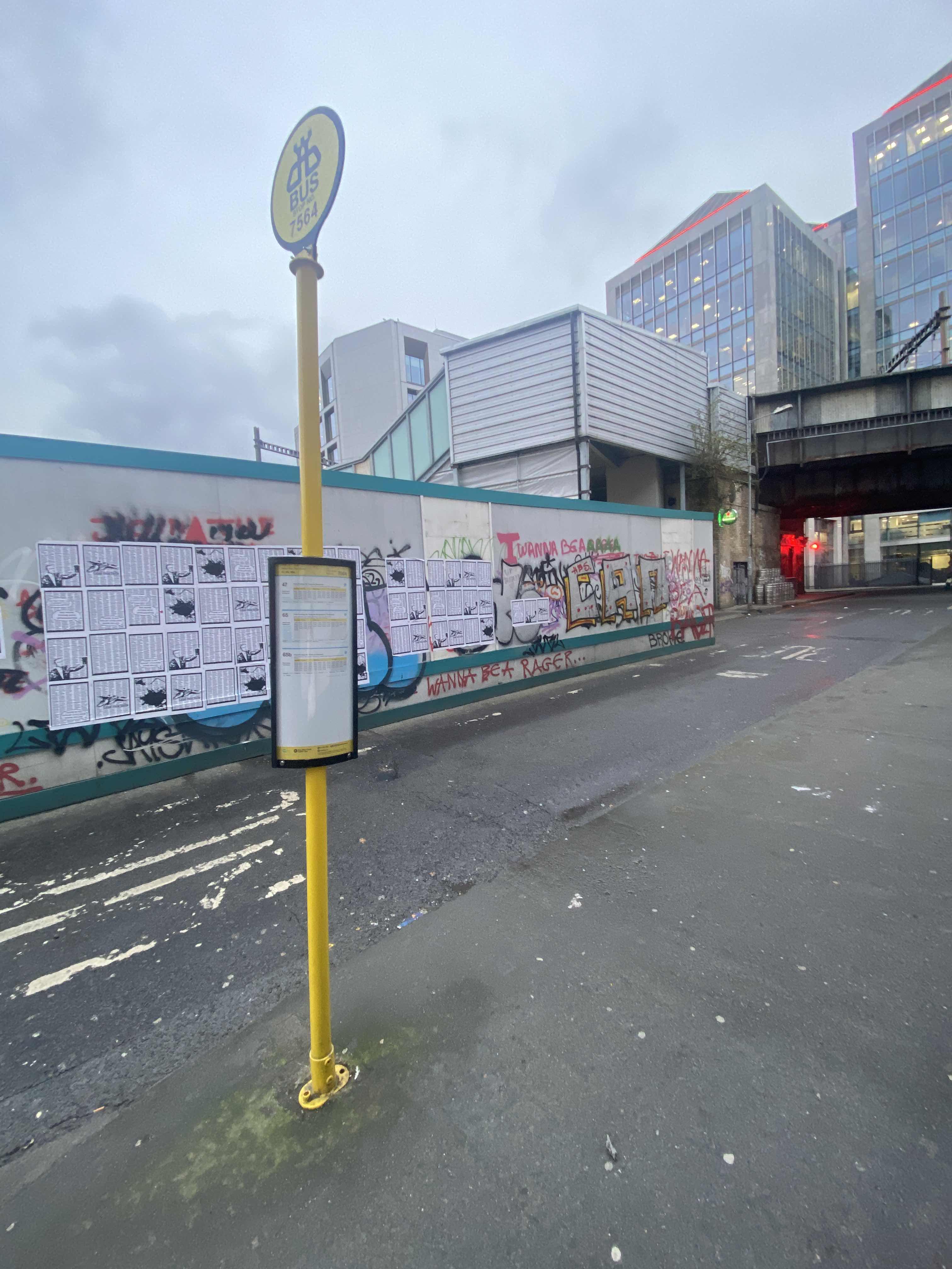 Taken by Anonymous
See Poolbeg St stop, Dublin, on the map
Public transit to Poolbeg Street stop (ID: 7564) in Dublin
Looking for directions to Poolbeg St in Dublin, Ireland?
Download the Moovit App to find the current schedule and step-by-step directions for Bus or Train routes that pass through Poolbeg St.
Looking for the nearest stops closest to Poolbeg St ? Check out this list of closest stops to your destination: Tara Street; George's Quay; Poolbeg Street; Dublin City South; Dublin City South Georges Quay; Custom House; Eden Quay; Hawkins Street; Townsend Street; Hawkin's Street; South Townsend Street; Pearse St Garda Stn; Abbey St.; Westmoreland.
Bus: 15, 150, 39, 56A, 7, 77A, 7B, E1, E2, G2, C1, C2, C3, C4, C5, 68, 68A, 69, 69X, 1, 15A, 15B, 15D, 44, X1, X2, 32X, 39X, 740, 740A, 740X.Train: COMMUTER, DART, RAIL.
We make riding on public transit to Poolbeg St easy, which is why over 1.5 million users, including users in Dublin trust Moovit as the best app for public transit.
Use the app to navigate to popular places including to the airport, hospital, stadium, grocery store, mall, coffee shop, school, college, and university.
Poolbeg Street stop’s code is 7564
The first line to this stop is 65, at 5:40 AM, and the last line is 65 at 1:16 AM.
This stop serves Bus Átha Cliath – Dublin Bus’s lines
Popular routes from Poolbeg St stop, Dublin
- Tara Street,
- Poolbeg Street,
- George's Quay,
- Hawkins Street,
- Townsend Street,
- Hawkin's Street,
- South Townsend Street,
- Dublin City South, Burgh Quay,
- Dublin City South Georges Quay,
- Custom House,
- Eden Quay,
- Pearse St Garda Stn
Bus stops near Poolbeg St stop
- Abbey St.,
- Westmoreland
Light Rail stations near Poolbeg St station
- St Loman's Hospital,
- Beechpark Estate,
- High Street,
- Beaumont Avenue,
- Gulliver's Retail,
- Jameson Distillery,
- Brewery Road,
- Ormond Quay Upper,
- Bettystown,
- Kilkelly,
- Constitution Hill,
- St Ita's Hospital,
- Bluebell Rd,
- Parnell Square East,
- Oranmore Centre,
- Navan Road,
- Cabinteely, Cornelscourt Shopping Centre,
- Lidl Rdc,
- Harcourt Street,
- Sandford Road
Popular public transit stations in Dublin
Get around Dublin by public transit!
Traveling around Dublin has never been so easy. See step by step directions as you travel to any attraction, street or major public transit station. View bus and train schedules, arrival times, service alerts and detailed routes on a map, so you know exactly how to get to anywhere in Dublin.
When traveling to any destination around Dublin use Moovit's Live Directions with Get Off Notifications to know exactly where and how far to walk, how long to wait for your line, and how many stops are left. Moovit will alert you when it's time to get off — no need to constantly re-check whether yours is the next stop.
Wondering how to use public transit in Dublin or how to pay for public transit in Dublin? Moovit public transit app can help you navigate your way with public transit easily, and at minimum cost. It includes public transit fees, ticket prices, and costs. Looking for a map of Dublin public transit lines? Moovit public transit app shows all public transit maps in Dublin with all Bus, Train and Light Rail routes and stops on an interactive map.
Ireland has 3 transit type(s), including: Bus, Train and Light Rail, operated by several transit agencies, including Luas, Bus Átha Cliath – Dublin Bus, Bus Éireann, Go-Ahead Ireland, Nitelink, Dublin Bus, Citylink, City Direct, Kenneally's Bus Service, Aircoach, TFI Local Link Mayo, Irish Rail, Express Bus, JJ/Bernard Kavanagh, Dublin Coach and Kearns Transport