How to get to Pop Up Bavanathan Balasingham by bus?
Click on the bus route to see step by step directions with maps, line arrival times and updated time schedules.
From Thon Hotel Rosenkrantz, Bergen
63 minFrom BI Bergen - Handelshøyskolen, Bergen
53 minFrom Gamlehaugen, Bergen
68 minFrom Damsgårdsveien, Bergen
78 minFrom Landås, Bergen
94 minFrom Nøstegaten 30, Bergen
69 minFrom Thon Hotel Orion, Bergen
65 minFrom Gyldenpris Busstopp, Bergen
61 minFrom Grieghallen, Bergen
59 min
How to get to Pop Up Bavanathan Balasingham by train?
Click on the train route to see step by step directions with maps, line arrival times and updated time schedules.
Bus stops near Pop Up Bavanathan Balasingham in Bergen
- Seimsmarka, 4 min walk,VIEW
Train station near Pop Up Bavanathan Balasingham in Bergen
- Arna Stasjon, 26 min walk,VIEW
Bus lines to Pop Up Bavanathan Balasingham in Bergen
What are the closest stations to Pop Up Bavanathan Balasingham?
The closest stations to Pop Up Bavanathan Balasingham are:
- Seimsmarka is 269 meters away, 4 min walk.
- Arna Stasjon is 1969 meters away, 26 min walk.
Which bus lines stop near Pop Up Bavanathan Balasingham?
These bus lines stop near Pop Up Bavanathan Balasingham: 29, 930.
Which train line stops near Pop Up Bavanathan Balasingham?
R40 (Finse)
What’s the nearest train station to Pop Up Bavanathan Balasingham in Bergen?
The nearest train station to Pop Up Bavanathan Balasingham in Bergen is Arna Stasjon. It’s a 26 min walk away.
What’s the nearest bus station to Pop Up Bavanathan Balasingham in Bergen?
The nearest bus station to Pop Up Bavanathan Balasingham in Bergen is Seimsmarka. It’s a 4 min walk away.
What time is the first train to Pop Up Bavanathan Balasingham in Bergen?
The L4 is the first train that goes to Pop Up Bavanathan Balasingham in Bergen. It stops nearby at 5:48 AM.
What time is the last train to Pop Up Bavanathan Balasingham in Bergen?
The F4 is the last train that goes to Pop Up Bavanathan Balasingham in Bergen. It stops nearby at 3:36 AM.
What time is the first bus to Pop Up Bavanathan Balasingham in Bergen?
The 28 is the first bus that goes to Pop Up Bavanathan Balasingham in Bergen. It stops nearby at 3:21 AM.
What time is the last bus to Pop Up Bavanathan Balasingham in Bergen?
The 28 is the last bus that goes to Pop Up Bavanathan Balasingham in Bergen. It stops nearby at 1:02 AM.
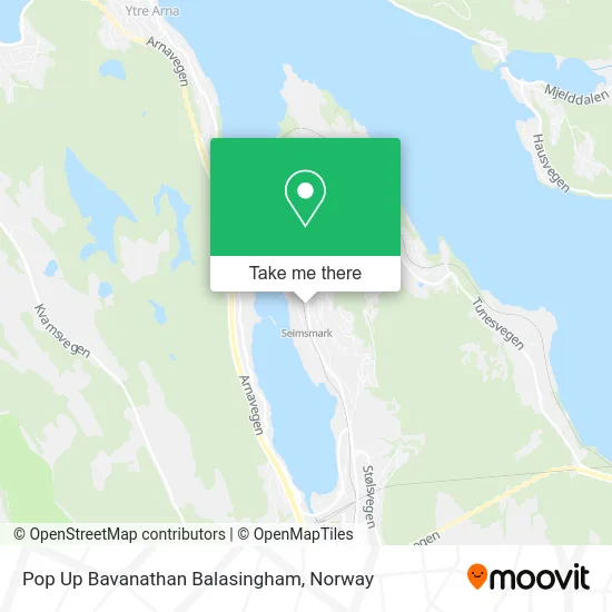
See Pop Up Bavanathan Balasingham, Bergen, on the map
Public Transit to Pop Up Bavanathan Balasingham in Bergen
Wondering how to get to Pop Up Bavanathan Balasingham in Bergen? Moovit helps you find the best way to get to Pop Up Bavanathan Balasingham with step-by-step directions from the nearest public transit station.
Moovit provides free maps and live directions to help you navigate through your city. View schedules, routes, timetables, and find out how long does it take to get to Pop Up Bavanathan Balasingham in real time.
Looking for the nearest stop or station to Pop Up Bavanathan Balasingham? Check out this list of stops closest to your destination: Seimsmarka; Arna Stasjon.
Bus: 29, 930, 92, 95, 97, 28, 920, 934.Train: R40, F4, L4.
Want to see if there’s another route that gets you there at an earlier time? Moovit helps you find alternative routes or times. Get directions from and directions to Pop Up Bavanathan Balasingham easily from the Moovit App or Website.
We make riding to Pop Up Bavanathan Balasingham easy, which is why over 1.5 million users, including users in Bergen, trust Moovit as the best app for public transit. You don’t need to download an individual bus app or train app, Moovit is your all-in-one transit app that helps you find the best bus time or train time available.
For information on prices of train, bus and light rail, costs and ride fares to Pop Up Bavanathan Balasingham, please check the Moovit app.
Use the app to navigate to popular places including to the airport, hospital, stadium, grocery store, mall, coffee shop, school, college, and university.
Pop Up Bavanathan Balasingham Address: Vestlivegen 2 5260 Indre Arna street in Bergen
- Pop Up,
- Husoy Glass AS,
- Bergens Baker- og Konditormester Laug,
- Hjelle Bakeren,
- Norsk Gjenvinning Metall,
- Blomdals OPEL Høgg,
- Europris Indre Arna,
- Family Sports C,
- Freetrailer Tilhengerleie,
- Holmen,
- Dyndal Invest,
- Petter Slengesol Transport,
- Beyer,
- Byggeriet Mestersalg Arna,
- Seim,
- Garnes Ungdomsskule,
- Bruvik Vidar,
- Åsheim,
- Oh Betong,
- Nils Astor Magnussen
Places Near Pop Up Bavanathan Balasingham (Bergen)
- Ulriken, Bergen,
- IKEA, Oslo,
- Jekta Storsenter, Tromsø,
- Oslo S spor 19 (Trelastgata), Oslo,
- Haukeland Universitetssjukehus, Bergen,
- Tyholttårnet, Trondheim,
- Vestby Outlet Store, Vestby,
- Ullevål Stadion (T), Oslo,
- Color Line Terminal, Oslo,
- DFDS Seaways, Oslo,
- Radiumhospitalet, Oslo,
- Rikshospitalet (trikk), Oslo,
- Bjerke Travbane, Oslo,
- Ikea Leangen, Trondheim,
- Voldsløkka, Oslo,
- Drammen Sykehus, Drammen,
- IKEA, Bergen,
- Quality Hotel Edvard Grieg, Bergen,
- Nylandsbrua, Oslo,
- Lovisenberg Diakonale Sykehus, Oslo
How to get to popular places in Norway with public transit
Get around Bergen by public transit!
Traveling around Bergen has never been so easy. See step by step directions as you travel to any attraction, street or major public transit station. View bus and train schedules, arrival times, service alerts and detailed routes on a map, so you know exactly how to get to anywhere in Bergen.
When traveling to any destination around Bergen use Moovit's Live Directions with Get Off Notifications to know exactly where and how far to walk, how long to wait for your line, and how many stops are left. Moovit will alert you when it's time to get off — no need to constantly re-check whether yours is the next stop.
Wondering how to use public transit in Bergen or how to pay for public transit in Bergen? Moovit public transit app can help you navigate your way with public transit easily, and at minimum cost. It includes public transit fees, ticket prices, and costs. Looking for a map of Bergen public transit lines? Moovit public transit app shows all public transit maps in Bergen with all Bus, Train, Subway, Light Rail, Ferry and Cable Car routes and stops on an interactive map.
Norway has 6 transit type(s), including: Bus, Train, Subway, Light Rail, Ferry and Cable Car, operated by several transit agencies, including Ruter, Skyss, AtB, Flytoget, Vy Tåg, SJ, Go-Ahead Norge AS, SJ Nord, Vestfold Kollektivtrafikk as, Snelandia, Innlandstrafikk, FRAM, FlixBus, Kolumbus and Brakar