How to get to Popular Farma by bus?
Click on the bus route to see step by step directions with maps, line arrival times and updated time schedules.
From Avenida Santa Rosa San Juan de Lurigancho, San Juan D
49 minFrom Colegio Mariano Melgar, Breña
42 minFrom Avenida Garcilaso de la Vega, Lima
37 minFrom HOTEL LOS DELFINES, San Isidro
47 minFrom Televisión Nacional del Peru - Canal 7, La Victori
50 minFrom ALT PARQUE CANEPA LA VICTORIA ( GAMARRA), La Victori
44 minFrom Av. Canto Grande, San Juan D
51 minFrom MAGDALENA DEL MAR, Magdalena
44 minFrom Caja de Pensiones Militar Policial, San Isidro
49 minFrom ALTURA DE LA 39 DE LA AVENIDA BRASIL, Magdalena
37 min
Bus stops near Popular Farma in San Martin
Bus lines to Popular Farma in San Martin
- 1008, Sucre (Magdalena Del Mar) - Villa Club (Carabayllo),VIEW
- 1011, Carabayllo - Pueblo Libre,VIEW
- 1013, Jesús María - Carabayllo,VIEW
- 1015, Carabayllo - Lince - Carabayllo,VIEW
- 1021, Mercado (Magdalena Del Mar) - Torre Blanca (Carabayllo),VIEW
- 1038, Petit Thouars (Lince),VIEW
- 1182, San Juan de Miraflores - Carabayllo,VIEW
- 1231, Chorrillos - Carabayllo,VIEW
- 1236, San Pedro (Carabayllo) - Pachacutec (Villa El Salvador),VIEW
- 1336, Torreblanca (Carabayllo) - Universitaria (San Miguel),VIEW
- 1337, Villa Club (Carabayllo) - La Marina (San Miguel),VIEW
- 1338, La Playa (Ventanilla) - La Paz (La Perla),VIEW
- 1471, Av. Juan Velasco Alvarado (Villa El Salvador) - Oquendo (San Martin De Porres),VIEW
- 1462, Carabayllo - Universitaria - Brasil - Carabayllo,VIEW
- 1326 SX, Galerías San Lazaro (Independencia) - Aeropuerto (Callao) ,VIEW
- 1031, San Martín de Porres - Jesús María [La 29],VIEW
- 1138, Callao - Carabayllo,VIEW
- 1199, San Martín de Porres - Chorrillos [36],VIEW
- 1275, S.M.P - Surco [R],VIEW
- 2203, San Martín de Porres - San Martín de Porres,VIEW
What are the closest stations to Popular Farma?
The closest stations to Popular Farma are:
- Tomás Valle is 90 meters away, 2 min walk.
- Universitaria is 107 meters away, 2 min walk.
- Tomas Valle & Universitaria is 107 meters away, 2 min walk.
- Antares is 295 meters away, 4 min walk.
Which bus lines stop near Popular Farma?
These bus lines stop near Popular Farma: 1182, 1236, 1275, 1336, 1337, 1338, 1471.
What’s the nearest bus station to Popular Farma in San Martin?
The nearest bus stations to Popular Farma in San Martin are Tomás Valle, Universitaria and Tomas Valle & Universitaria. The closest one is a 2 min walk away.
What time is the first bus to Popular Farma in San Martin?
The 1471 is the first bus that goes to Popular Farma in San Martin. It stops nearby at 3:41 AM.
What time is the last bus to Popular Farma in San Martin?
The 1326 SX is the last bus that goes to Popular Farma in San Martin. It stops nearby at 2:13 AM.
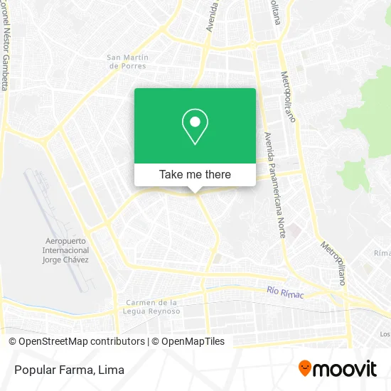
See Popular Farma, San Martin, on the map
Public Transit to Popular Farma in San Martin
Wondering how to get to Popular Farma in San Martin? Moovit helps you find the best way to get to Popular Farma with step-by-step directions from the nearest public transit station.
Moovit provides free maps and live directions to help you navigate through your city. View schedules, routes, timetables, and find out how long does it take to get to Popular Farma in real time.
Looking for the nearest stop or station to Popular Farma? Check out this list of stops closest to your destination: Tomás Valle; Universitaria; Tomas Valle & Universitaria; Antares.
Bus: 1182, 1236, 1275, 1336, 1337, 1338, 1471, 1008, 1011, 1013, 1015, 1021, 1462, 1326 SX, 1031, 1138, 1199, 2203, 1023, CR43.
Want to see if there’s another route that gets you there at an earlier time? Moovit helps you find alternative routes or times. Get directions from and directions to Popular Farma easily from the Moovit App or Website.
We make riding to Popular Farma easy, which is why over 1.5 million users, including users in San Martin, trust Moovit as the best app for public transit. You don’t need to download an individual bus app or train app, Moovit is your all-in-one transit app that helps you find the best bus time or train time available.
For information on prices of bus, costs and ride fares to Popular Farma, please check the Moovit app.
Use the app to navigate to popular places including to the airport, hospital, stadium, grocery store, mall, coffee shop, school, college, and university.
Popular Farma Address: Avenida Universitaria Daniel Alcides Carrión, 15107 San Martín de Porres street in San Martin
- globalnet,
- Forum Bar Disco Club,
- Forum Club Bar,
- Costa Bar,
- Plaza Vea,
- Auxilio Mecanico Alejandro - Todo Lima 24 Hs,
- Richards,
- Avenida Universitaria & Avenida Tomas Valle,
- Cruce Av Tomás valle y Av Universitaria,
- El Paisa,
- Hilton,
- Boticas BTL,
- Polleria Chifa El Mana,
- El Granjero,
- Veterinaria Antares,
- Farma Life,
- Avenida Tomás Valle 1501-1551,
- La Pishcota,
- Ferretería,
- Taxi AH
Places Near Popular Farma (San Martin)
- Av. La Marina, San Miguel,
- Gamarra,
- Hospital Edgardo Rebagliati Martins, Jesus Mari,
- Plaza San Miguel, San Miguel,
- Jockey Plaza, Santiago D,
- Av. Salaverry, Jesus Mari,
- Miraflores, Miraflores,
- Pontificia Universidad Católica del Perú - PUCP, San Miguel,
- Parque Kennedy, Miraflores,
- av arequipa, Lima,
- Aeropuerto Internacional Jorge Chávez, Ventanilla,
- Larcomar, Miraflores,
- Paradero Av.Brasil,
- Mall Del Sur,
- Real Plaza Puruchuco, Ate,
- Parque de las Leyendas, San Miguel,
- Barranco, Barranco,
- Av. Abancay, Lima,
- Centro Comercial Plaza Norte, Independen,
- Circuito Mágico Del Agua, Lima
How to get to popular places in Lima with public transit
Get around San Martin by public transit!
Traveling around San Martin has never been so easy. See step by step directions as you travel to any attraction, street or major public transit station. View bus and train schedules, arrival times, service alerts and detailed routes on a map, so you know exactly how to get to anywhere in San Martin.
When traveling to any destination around San Martin use Moovit's Live Directions with Get Off Notifications to know exactly where and how far to walk, how long to wait for your line, and how many stops are left. Moovit will alert you when it's time to get off — no need to constantly re-check whether yours is the next stop.
Wondering how to use public transit in San Martin or how to pay for public transit in San Martin? Moovit public transit app can help you navigate your way with public transit easily, and at minimum cost. It includes public transit fees, ticket prices, and costs. Looking for a map of San Martin public transit lines? Moovit public transit app shows all public transit maps in San Martin with all Bus, Metro and Ferry routes and stops on an interactive map.
Lima has 3 transit type(s), including: Bus, Metro and Ferry, operated by several transit agencies, including Metro de Lima Línea 2 , Metro de Lima, Corredor Rojo, Metropolitano, Metropolitano - Alimentadores, Corredor Morado, Corredor Azul, Rutas Tradicionales, Transportes y Servicios La Esperanza S.A., Las Flores S.A., Virgen de la Asunción S.A., Consorcio HAM, Transportes y Service Canadá S.A., ETUL4SA and ETUCHISA