Directions to Posada Isabelae (Peguerinos) with public transportation
The following transit lines have routes that pass near Posada Isabelae
 Bus: 665.
How to get to Posada Isabelae by bus?
Click on the bus route to see step by step directions with maps, line arrival times and updated time schedules.
From Polígono P-29, Collado Villalba
135 minFrom Universidad Alfonso X El Sabio (UAX), Villanueva De La Cañada
192 minFrom Hospital Público de Collado Villalba, Collado Villalba
109 minFrom Piscinas Naturales Las Berceas, Cercedilla
94 minFrom Universidad Camilo José Cela (UCJC), Villanueva De La Cañada
143 minFrom Hospital HM Universitario Torrelodones, Torrelodones
100 min
Bus stop near Posada Isabelae in Peguerinos
- Peguerinos - Pza. Ayuntamiento, 2 min walk,VIEW
Bus lines to Posada Isabelae in Peguerinos
- 665, Est. De Autobuses De S. L. De El Escorial,VIEW
What are the closest stations to Posada Isabelae?
The closest stations to Posada Isabelae are:
- Peguerinos - Pza. Ayuntamiento is 101 meters away, 2 min walk.
Which bus line stops near Posada Isabelae?
665 (Est. De Autobuses De S. L. De El Escorial→Peguerinos - Pza. Ayuntamiento)
What’s the nearest bus station to Posada Isabelae in Peguerinos?
The nearest bus station to Posada Isabelae in Peguerinos is Peguerinos - Pza. Ayuntamiento. It’s a 2 min walk away.
What time is the first bus to Posada Isabelae in Peguerinos?
The 665 is the first bus that goes to Posada Isabelae in Peguerinos. It stops nearby at 10:42 AM.
What time is the last bus to Posada Isabelae in Peguerinos?
The 665 is the last bus that goes to Posada Isabelae in Peguerinos. It stops nearby at 7:00 PM.
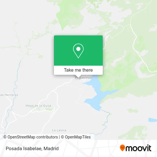
See Posada Isabelae, Peguerinos, on the map
Public Transit to Posada Isabelae in Peguerinos
Wondering how to get to Posada Isabelae in Peguerinos? Moovit helps you find the best way to get to Posada Isabelae with step-by-step directions from the nearest public transit station.
Moovit provides free maps and live directions to help you navigate through your city. View schedules, routes, timetables, and find out how long does it take to get to Posada Isabelae in real time.
Looking for the nearest stop or station to Posada Isabelae? Check out this list of stops closest to your destination: Peguerinos - Pza. Ayuntamiento.
Bus: 665.
Want to see if there’s another route that gets you there at an earlier time? Moovit helps you find alternative routes or times. Get directions from and directions to Posada Isabelae easily from the Moovit App or Website.
We make riding to Posada Isabelae easy, which is why over 1.5 million users, including users in Peguerinos, trust Moovit as the best app for public transit. You don’t need to download an individual bus app or train app, Moovit is your all-in-one transit app that helps you find the best bus time or train time available.
For information on prices of bus, costs and ride fares to Posada Isabelae, please check the Moovit app.
Use the app to navigate to popular places including to the airport, hospital, stadium, grocery store, mall, coffee shop, school, college, and university.
Posada Isabelae Address: Calle de la Iglesia, 05239 Peguerinos street in Peguerinos
- Arte's 4 Bar,
- Calle Ruiz de Alda, 2,
- Biblioteca,
- El Encuentro,
- Mirador A La Sierra De Gredos,
- Camino de la Lastra,
- Ruta del Águila,
- Núbil Fiesta y Novia,
- Restaurante Kurantu,
- Restaurante Santa Mari,
- Castillo Bonata,
- Calle José Antonio,
- Matiz Concept,
- Restaurante Santamaría (Santa María),
- Ayuntamiento De Santa María De La Alameda,
- Asador Cruz Verde,
- Santa María de la Alameda,
- Restaurante Piola con Terrazas,
- Dunas, salud en Acción,
- Calle Arenal
Places Near Posada Isabelae (Peguerinos)
- Centro Comercial La Gavia, Área Metropolitana De Madrid Y Corredor Del Henares,
- Estadio Wanda Metropolitano, Área Metropolitana De Madrid Y Corredor Del Henares,
- Hospital Universitario Ramón y Cajal, Madrid,
- Wizink Center, Madrid,
- Palacio De Vistalegre, Área Metropolitana De Madrid Y Corredor Del Henares,
- Mercadillo de Majadahonda, Majadahonda,
- Nassica, Área Metropolitana De Madrid Y Corredor Del Henares,
- Centro Comercial La Vaguada, Área Metropolitana De Madrid Y Corredor Del Henares,
- Plenilunio, Área Metropolitana De Madrid Y Corredor Del Henares,
- Centro Comercial Oasiz Madrid, Área Metropolitana De Madrid Y Corredor Del Henares,
- Calle de López de Hoyos 169, Madrid,
- Hospital Universitario La Paz, Madrid,
- Centro Comercial Islazul, Área Metropolitana De Madrid Y Corredor Del Henares,
- Hospital Clínico Universitario San Carlos, Madrid,
- Rastro De Madrid, Área Metropolitana De Madrid Y Corredor Del Henares,
- Tres Aguas, Alcorcón,
- Plaza Mayor, Madrid,
- Sala La Riviera, Madrid,
- Mendez Alvaro, Madrid,
- Estacion de Chamartin, Madrid
How to get to popular places in Madrid with public transit
Get around Peguerinos by public transit!
Traveling around Peguerinos has never been so easy. See step by step directions as you travel to any attraction, street or major public transit station. View bus and train schedules, arrival times, service alerts and detailed routes on a map, so you know exactly how to get to anywhere in Peguerinos.
When traveling to any destination around Peguerinos use Moovit's Live Directions with Get Off Notifications to know exactly where and how far to walk, how long to wait for your line, and how many stops are left. Moovit will alert you when it's time to get off — no need to constantly re-check whether yours is the next stop.
Wondering how to use public transit in Peguerinos or how to pay for public transit in Peguerinos? Moovit public transit app can help you navigate your way with public transit easily, and at minimum cost. It includes public transit fees, ticket prices, and costs. Looking for a map of Peguerinos public transit lines? Moovit public transit app shows all public transit maps in Peguerinos with all Bus, Train, Metro and Light Rail routes and stops on an interactive map.
Madrid has 4 transit type(s), including: Bus, Train, Metro and Light Rail, operated by several transit agencies, including Metro de Madrid, Metro Ligero, Tranvía de Parla, Renfe Cercanías - Servicios de Autobús especiales, Renfe Cercanias, Renfe Cercanías, EMT, Interurbanos, Urbanos de Alcalá de Henares, Urbanos de Alcobendas, Urbanos de Alcorcón, Urbanos de Algete, Urbanos de Aranjuez, Urbanos de Arganda del Rey and Urbanos de Arroyomolinos