How to get to Post Office by bus?
Click on the bus route to see step by step directions with maps, line arrival times and updated time schedules.
Bus stop near Post Office in Worcester County
- Sturgis Park, 3 min walk,VIEW
What are the closest stations to Post Office?
The closest stations to Post Office are:
- Sturgis Park is 174 yards away, 3 min walk.
Which bus line stops near Post Office?
503S (Pocomoke)
What’s the nearest bus station to Post Office in Worcester County?
The nearest bus station to Post Office in Worcester County is Sturgis Park. It’s a 3 min walk away.
What time is the first bus to Post Office in Worcester County?
The 503N is the first bus that goes to Post Office in Worcester County. It stops nearby at 5:27 AM.
What time is the last bus to Post Office in Worcester County?
The 503S is the last bus that goes to Post Office in Worcester County. It stops nearby at 1:00 AM.
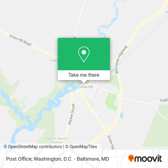
See Post Office, Worcester County, on the map
Public Transit to Post Office in Worcester County
Wondering how to get to Post Office in Worcester County? Moovit helps you find the best way to get to Post Office with step-by-step directions from the nearest public transit station.
Moovit provides free maps and live directions to help you navigate through your city. View schedules, routes, timetables, and find out how long does it take to get to Post Office in real time.
Looking for the nearest stop or station to Post Office? Check out this list of stops closest to your destination: Sturgis Park.
Bus: 503S, 503N.
Want to see if there’s another route that gets you there at an earlier time? Moovit helps you find alternative routes or times. Get directions from and directions to Post Office easily from the Moovit App or Website.
We make riding to Post Office easy, which is why over 1.5 million users, including users in Worcester County, trust Moovit as the best app for public transit. You don’t need to download an individual bus app or train app, Moovit is your all-in-one transit app that helps you find the best bus time or train time available.
For information on prices of bus, costs and ride fares to Post Office, please check the Moovit app.
Use the app to navigate to popular places including to the airport, hospital, stadium, grocery store, mall, coffee shop, school, college, and university.
Post Office Address: 306 N Washington St Snow Hill, MD 21863 street in Worcester County
- Lower Shore Performing Arts Company,
- Worcester County Maryland Library,
- Flower Shop,
- KGS Office,
- ADT A T Alarm & Home Security,
- Independent Operators,
- Snow Hill Cookie Jar,
- Bare Skin Esthetic,
- Snow Hill Toys,
- Nolte Associates,
- The Clancy Building,
- Worcester County Economic Development,
- The Merry Haven,
- Emporium Ice Cream,
- Golden Clover,
- Maryland Cooperative Extention Services,
- Tri-County Council,
- Edward L Taylor CPA,
- Worcester County Fire Marshal's Office,
- Worchester County Board of Education Snow Hill
Places Near Post Office (Worcester County)
- National Zoo, Washington,
- Sibley Memorial Hospital, Washington,
- M&T Bank Stadium, Baltimore,
- Georgetown, Washington,
- Washington DC VA Medical Center, Washington,
- Capital One Arena, Washington,
- National Theatre, Washington,
- PG Mall, Prince George's County,
- Basilica of the National Shrine, Washington,
- Amazon Hq2, Arlington County,
- Camden Yards, Baltimore,
- Rock Creek Tennis Center, Washington,
- The Anthem, Washington,
- Warner Theatre, Washington,
- Marriott Marquis Washington, DC, Washington,
- Westfield Montgomery Mall, Montgomery County,
- Washington National Cathedral, Washington,
- Pennsylvania Ave NW (3rd st and pennsylvania), Washington,
- Museum Of The Bible, Washington,
- National Museum of African American History and Culture, Washington
How to get to popular places in Washington, D.C. - Baltimore, MD with public transit
Get around Worcester County by public transit!
Traveling around Worcester County has never been so easy. See step by step directions as you travel to any attraction, street or major public transit station. View bus and train schedules, arrival times, service alerts and detailed routes on a map, so you know exactly how to get to anywhere in Worcester County.
When traveling to any destination around Worcester County use Moovit's Live Directions with Get Off Notifications to know exactly where and how far to walk, how long to wait for your line, and how many stops are left. Moovit will alert you when it's time to get off — no need to constantly re-check whether yours is the next stop.
Wondering how to use public transit in Worcester County or how to pay for public transit in Worcester County? Moovit public transit app can help you navigate your way with public transit easily, and at minimum cost. It includes public transit fees, ticket prices, and costs. Looking for a map of Worcester County public transit lines? Moovit public transit app shows all public transit maps in Worcester County with all Bus, Train, Metro, Light Rail and Ferry routes and stops on an interactive map.
Washington, D.C. - Baltimore, MD has 5 transit type(s), including: Bus, Train, Metro, Light Rail and Ferry, operated by several transit agencies, including WMATA, Montgomery County Ride On, Fairfax Connector, TheBus, PRTC, DASH - Alexandria, Arlington Transit (ART), RTA of Central Maryland, MDOT MTA, MDOT MTA Light RailLink, MDOT MTA Commuter Bus, MDOT MTA Local Bus, FXBGO!, Virginia Railway Express (VRE) and MARC