How to get to Post Office by bus?
Click on the bus route to see step by step directions with maps, line arrival times and updated time schedules.
From Nationals Park, Washington
73 minFrom Waterfront Metro Station, Washington
65 minFrom The White House, Washington
60 minFrom Eisenhower Executive Office Building, Washington
70 minFrom The Fillmore Silver Spring, Montgomery County
39 minFrom National Academy of Science, Washington
88 minFrom Carmine's Italian Restaurant Washington,DC, Washington
54 minFrom FedEx Field, Prince George's County
74 minFrom World War II Memorial, Washington
83 minFrom The Mansion on O Street, Washington
69 min
How to get to Post Office by train?
Click on the train route to see step by step directions with maps, line arrival times and updated time schedules.
How to get to Post Office by metro?
Click on the metro route to see step by step directions with maps, line arrival times and updated time schedules.
From Nationals Park, Washington
46 minFrom Waterfront Metro Station, Washington
34 minFrom The White House, Washington
42 minFrom Eisenhower Executive Office Building, Washington
42 minFrom The Fillmore Silver Spring, Montgomery County
31 minFrom National Academy of Science, Washington
64 minFrom Carmine's Italian Restaurant Washington,DC, Washington
33 minFrom FedEx Field, Prince George's County
77 minFrom World War II Memorial, Washington
55 minFrom The Mansion on O Street, Washington
43 min
Bus stops near Post Office in Prince George's County
Metro stations near Post Office in Prince George's County
Train station near Post Office in Prince George's County
- Riverdale Marc Nb, 34 min walk,VIEW
Bus lines to Post Office in Prince George's County
What are the closest stations to Post Office?
The closest stations to Post Office are:
- Hamilton St & 31st Av is 97 yards away, 2 min walk.
- Queens Chapel Rd & Hamilton St is 114 yards away, 2 min walk.
- Ager Rd+Hamilton St is 373 yards away, 5 min walk.
- West Hyattsville is 2844 yards away, 34 min walk.
- Riverdale Marc Nb is 2857 yards away, 34 min walk.
- Fort Totten is 3204 yards away, 38 min walk.
Which bus lines stop near Post Office?
These bus lines stop near Post Office: C41, P33, P43.
Which train line stops near Post Office?
MARC (Inbound - Camden)
Which metro lines stop near Post Office?
These metro lines stop near Post Office: GREEN, YELLOW.
What’s the nearest bus station to Post Office in Prince George's County?
The nearest bus stations to Post Office in Prince George's County are Hamilton St & 31st Av and Queens Chapel Rd & Hamilton St. The closest one is a 2 min walk away.
What time is the first metro to Post Office in Prince George's County?
The GREEN is the first metro that goes to Post Office in Prince George's County. It stops nearby at 5:08 AM.
What time is the last metro to Post Office in Prince George's County?
The GREEN is the last metro that goes to Post Office in Prince George's County. It stops nearby at 12:33 AM.
What time is the first train to Post Office in Prince George's County?
The MARC is the first train that goes to Post Office in Prince George's County. It stops nearby at 5:45 AM.
What time is the last train to Post Office in Prince George's County?
The MARC is the last train that goes to Post Office in Prince George's County. It stops nearby at 7:54 PM.
What time is the first bus to Post Office in Prince George's County?
The C41 is the first bus that goes to Post Office in Prince George's County. It stops nearby at 3:02 AM.
What time is the last bus to Post Office in Prince George's County?
The C41 is the last bus that goes to Post Office in Prince George's County. It stops nearby at 3:23 AM.
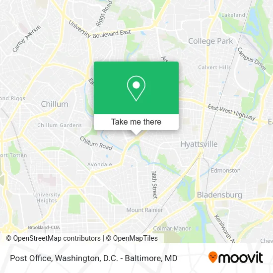
See Post Office, Prince George's County, on the map
Public Transit to Post Office in Prince George's County
Wondering how to get to Post Office in Prince George's County? Moovit helps you find the best way to get to Post Office with step-by-step directions from the nearest public transit station.
Moovit provides free maps and live directions to help you navigate through your city. View schedules, routes, timetables, and find out how long does it take to get to Post Office in real time.
Looking for the nearest stop or station to Post Office? Check out this list of stops closest to your destination: Hamilton St & 31st Av; Queens Chapel Rd & Hamilton St; Ager Rd+Hamilton St; West Hyattsville; Riverdale Marc Nb; Fort Totten.
Bus: C41, P33, P43, P32, D34.Train: MARC.Metro: GREEN, YELLOW, RED.
Want to see if there’s another route that gets you there at an earlier time? Moovit helps you find alternative routes or times. Get directions from and directions to Post Office easily from the Moovit App or Website.
We make riding to Post Office easy, which is why over 1.5 million users, including users in Prince George's County, trust Moovit as the best app for public transit. You don’t need to download an individual bus app or train app, Moovit is your all-in-one transit app that helps you find the best bus time or train time available.
For information on prices of bus, metro and train, costs and ride fares to Post Office, please check the Moovit app.
Use the app to navigate to popular places including to the airport, hospital, stadium, grocery store, mall, coffee shop, school, college, and university.
Post Office Address: 3116 Hamilton St Hyattsville, MD 20782 street in Prince George's County
- Best Wireless,
- Invisalign Offer,
- F8 Bus,
- Sterling Coin Laundry,
- Club de la Hamilton St,
- Jda Builders,
- Bright Cleaners,
- ALDI,
- Hang Tyme Turner,
- Van Guard Windows,
- Syneqx,
- Dr. Grace Okhuereigbe, DNP,
- KG Accounting Service,
- Jessica's Studio,
- Romero Zulma,
- Locksmith4you,
- Multiservices & Driving Sch,
- Naomie Beauty Hair Braiding,
- VCD Auto Repair,
- H & Chicken
Places Near Post Office (Prince George's County)
- M&T Bank Stadium, Baltimore,
- Rock Creek Tennis Center, Washington,
- National Theatre, Washington,
- Basilica of the National Shrine, Washington,
- The Anthem, Washington,
- Washington DC VA Medical Center, Washington,
- Marriott Marquis Washington, DC, Washington,
- Washington National Cathedral, Washington,
- Camden Yards, Baltimore,
- Pennsylvania Ave NW (3rd st and pennsylvania), Washington,
- PG Mall, Prince George's County,
- Amazon Hq2, Arlington County,
- Museum Of The Bible, Washington,
- Sibley Memorial Hospital, Washington,
- Capital One Arena, Washington,
- National Zoo, Washington,
- Warner Theatre, Washington,
- Westfield Montgomery Mall, Montgomery County,
- Georgetown, Washington,
- National Museum of African American History and Culture, Washington
How to get to popular places in Washington, D.C. - Baltimore, MD with public transit
Get around Prince George's County by public transit!
Traveling around Prince George's County has never been so easy. See step by step directions as you travel to any attraction, street or major public transit station. View bus and train schedules, arrival times, service alerts and detailed routes on a map, so you know exactly how to get to anywhere in Prince George's County.
When traveling to any destination around Prince George's County use Moovit's Live Directions with Get Off Notifications to know exactly where and how far to walk, how long to wait for your line, and how many stops are left. Moovit will alert you when it's time to get off — no need to constantly re-check whether yours is the next stop.
Wondering how to use public transit in Prince George's County or how to pay for public transit in Prince George's County? Moovit public transit app can help you navigate your way with public transit easily, and at minimum cost. It includes public transit fees, ticket prices, and costs. Looking for a map of Prince George's County public transit lines? Moovit public transit app shows all public transit maps in Prince George's County with all Bus, Train, Metro, Light Rail and Ferry routes and stops on an interactive map.
Washington, D.C. - Baltimore, MD has 5 transit type(s), including: Bus, Train, Metro, Light Rail and Ferry, operated by several transit agencies, including WMATA, Montgomery County Ride On, Fairfax Connector, TheBus, PRTC, DASH - Alexandria, Arlington Transit (ART), RTA of Central Maryland, MDOT MTA, MDOT MTA Light RailLink, MDOT MTA Commuter Bus, MDOT MTA Local Bus, FXBGO!, Virginia Railway Express (VRE) and MARC