How to get to Post Office-Merrifield by bus?
Click on the bus route to see step by step directions with maps, line arrival times and updated time schedules.
From McLean, Virginia, Fairfax County
62 minFrom Walmart, Fairfax County
55 minFrom Oakton, Virginia, Fairfax County
47 minFrom Fairfax County Government Center, Fairfax County
38 minFrom Fair Oaks Mall, Fairfax County
55 minFrom Springfield, VA, Fairfax County
65 minFrom Balian Springs, Fairfax County
106 minFrom Walmart, Arlington County
49 minFrom Seven Corners Center (Seven Corners Shopping Center Falls Church VA), Fairfax County
52 minFrom Freddie Mac, Fairfax County
56 min
How to get to Post Office-Merrifield by metro?
Click on the metro route to see step by step directions with maps, line arrival times and updated time schedules.
Bus stops near Post Office-Merrifield in Fairfax County
Metro station near Post Office-Merrifield in Fairfax County
- Vienna Metro Station, 49 min walk,VIEW
Bus lines to Post Office-Merrifield in Fairfax County
What are the closest stations to Post Office-Merrifield?
The closest stations to Post Office-Merrifield are:
- Lee Hwy & Hilltop Rd is 589 yards away, 7 min walk.
- Arlington Bl+Prosperity Av is 655 yards away, 8 min walk.
- Eskridge Rd+Strawberry Ln is 995 yards away, 12 min walk.
- Vienna Metro Station is 4173 yards away, 49 min walk.
Which bus lines stop near Post Office-Merrifield?
These bus lines stop near Post Office-Merrifield: 402, 671, F50, F60, F61.
Which metro line stops near Post Office-Merrifield?
ORANGE (Vienna)
What’s the nearest bus station to Post Office-Merrifield in Fairfax County?
The nearest bus station to Post Office-Merrifield in Fairfax County is Lee Hwy & Hilltop Rd. It’s a 7 min walk away.
What time is the first metro to Post Office-Merrifield in Fairfax County?
The ORANGE is the first metro that goes to Post Office-Merrifield in Fairfax County. It stops nearby at 5:00 AM.
What time is the last metro to Post Office-Merrifield in Fairfax County?
The ORANGE is the last metro that goes to Post Office-Merrifield in Fairfax County. It stops nearby at 12:32 AM.
What time is the first bus to Post Office-Merrifield in Fairfax County?
The F61 is the first bus that goes to Post Office-Merrifield in Fairfax County. It stops nearby at 5:03 AM.
What time is the last bus to Post Office-Merrifield in Fairfax County?
The F61 is the last bus that goes to Post Office-Merrifield in Fairfax County. It stops nearby at 2:35 AM.
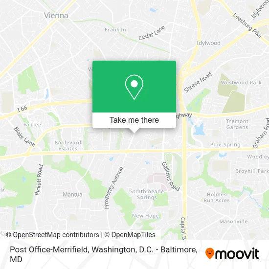
See Post Office-Merrifield, Fairfax County, on the map
Public Transit to Post Office-Merrifield in Fairfax County
Wondering how to get to Post Office-Merrifield in Fairfax County? Moovit helps you find the best way to get to Post Office-Merrifield with step-by-step directions from the nearest public transit station.
Moovit provides free maps and live directions to help you navigate through your city. View schedules, routes, timetables, and find out how long does it take to get to Post Office-Merrifield in real time.
Looking for the nearest stop or station to Post Office-Merrifield? Check out this list of stops closest to your destination: Lee Hwy & Hilltop Rd; Arlington Bl+Prosperity Av; Eskridge Rd+Strawberry Ln; Vienna Metro Station.
Bus: 402, 671, F50, F60, F61, F62.Metro: ORANGE.
Want to see if there’s another route that gets you there at an earlier time? Moovit helps you find alternative routes or times. Get directions from and directions to Post Office-Merrifield easily from the Moovit App or Website.
We make riding to Post Office-Merrifield easy, which is why over 1.5 million users, including users in Fairfax County, trust Moovit as the best app for public transit. You don’t need to download an individual bus app or train app, Moovit is your all-in-one transit app that helps you find the best bus time or train time available.
For information on prices of bus and metro, costs and ride fares to Post Office-Merrifield, please check the Moovit app.
Use the app to navigate to popular places including to the airport, hospital, stadium, grocery store, mall, coffee shop, school, college, and university.
Post Office-Merrifield Address: 3001 Prosperity Ave street in Fairfax County
- NTB - National Tire & Battery,
- USPS -Dewey Building,
- Nova Oncology,
- Dr. Stephen A. Gaeta, MD, PHD,
- Bronsky George F,
- Saratoga Springs II,
- Prosperity Plaza 1,
- National Scoliosis Center (Downey Hinrichs - Capital Area Scoliosis Specialists),
- Petra Stone,
- Dr. Mitchell Ira Cohen M.D. (Dr Jin Park, MD),
- Inova Behavioral Health Services Outpatient,
- Tyson Sam - My Virginia Properties,
- 3022 Williams Drive,
- USPS,
- Fairfax Cooling & Heating Repair,
- Anjali Goyal,
- Washington Radiology - Fairfax,
- Bathroom Magic,
- Ladybug Academy,
- Inova Behavioral Health Services - Fairfax
Places Near Post Office-Merrifield (Fairfax County)
- Amazon Hq2, Arlington County,
- Sibley Memorial Hospital, Washington,
- National Museum of African American History and Culture, Washington,
- M&T Bank Stadium, Baltimore,
- National Theatre, Washington,
- Basilica of the National Shrine, Washington,
- Washington DC VA Medical Center, Washington,
- Warner Theatre, Washington,
- Pennsylvania Ave NW (3rd st and pennsylvania), Washington,
- Marriott Marquis Washington, DC, Washington,
- Georgetown, Washington,
- National Zoo, Washington,
- Museum Of The Bible, Washington,
- Rock Creek Tennis Center, Washington,
- Capital One Arena, Washington,
- Washington National Cathedral, Washington,
- Camden Yards, Baltimore,
- PG Mall, Prince George's County,
- The Anthem, Washington,
- Westfield Montgomery Mall, Montgomery County
How to get to popular places in Washington, D.C. - Baltimore, MD with public transit
Get around Fairfax County by public transit!
Traveling around Fairfax County has never been so easy. See step by step directions as you travel to any attraction, street or major public transit station. View bus and train schedules, arrival times, service alerts and detailed routes on a map, so you know exactly how to get to anywhere in Fairfax County.
When traveling to any destination around Fairfax County use Moovit's Live Directions with Get Off Notifications to know exactly where and how far to walk, how long to wait for your line, and how many stops are left. Moovit will alert you when it's time to get off — no need to constantly re-check whether yours is the next stop.
Wondering how to use public transit in Fairfax County or how to pay for public transit in Fairfax County? Moovit public transit app can help you navigate your way with public transit easily, and at minimum cost. It includes public transit fees, ticket prices, and costs. Looking for a map of Fairfax County public transit lines? Moovit public transit app shows all public transit maps in Fairfax County with all Bus, Train, Metro, Light Rail and Ferry routes and stops on an interactive map.
Washington, D.C. - Baltimore, MD has 5 transit type(s), including: Bus, Train, Metro, Light Rail and Ferry, operated by several transit agencies, including WMATA, Montgomery County Ride On, Fairfax Connector, TheBus, PRTC, DASH - Alexandria, Arlington Transit (ART), RTA of Central Maryland, MDOT MTA, MDOT MTA Light RailLink, MDOT MTA Commuter Bus, MDOT MTA Local Bus, FXBGO!, Virginia Railway Express (VRE) and MARC