Bus stops near Italian Post Office in Portoferraio
Ferry station near Italian Post Office in Portoferraio
- Portoferraio, 27 min walk,VIEW
Bus lines to Italian Post Office in Portoferraio
- 1, Portoferraio - San Martino Napoleon Villa,VIEW
- 2, Portoferraio - San Giovanni,VIEW
- 9, Portoferraio - Bagnaia,VIEW
- 11, Portoferraio - Biodola,VIEW
- 222, Portoferraio - Lacona,VIEW
- 3, Portoferraio Italia Dock,VIEW
- 118, Lacona, Caubbio Junction,VIEW
- 116, Portoferraio-Marciana-Pomonte-Marina Di Campo - Sant'Ilario,VIEW
- 117, Portoferraio-Porto Azzurro-Rio Elba-Rio Marina-Cavo-Capoliveri,VIEW
- 120, Portoferraio - Marina Di Campo - Pomonte,VIEW
- 121, Portoferraio - Marciana Marina - Marciana - Pomonte,VIEW
- 4, Ferriera Street 1,VIEW
- 6, Portoferraio Matteotti Waterfront,VIEW
- Studio Erredue Graphics,
- Boldri Sauro Technical Service TVC,
- Patrizio le Co,
- Dental Elba, Dental Laboratory,
- TCE Telecommunications,
- Securpol Mat Vigilantes,
- Carlo Murzi,
- Scoglionativiola,
- Termoidraulica by Velasco Roberto & C. Collective Name Company,
- Franchetti Iacopo,
- Emma Cesarano,
- MG Mechanical Workshop by Mattera Gabriello,
- Lo Scoglio Three-Room Apartment,
- Sogeco Business Services Sogeco,
- Angelo Zini Labor Consultant,
- Pastry Shop Magic the Blonde,
- AB Telematics,
- Cleaning Company Carla by Mazzei Maria Beatrice,
- Elba Island Motorcycle Club,
- Tre Archi Pizzeria Rotisserie by Frassini S.
Places Near Italian Post Office (Portoferraio)
- Tobacco Manufacture, Florence,
- I Gigli, Campi Bisenzio,
- IKEA Florence, Sesto Fiorentino,
- Cascine Park, Florence,
- Piero Palagi Hospital Facility-Florence, Florence,
- Torregalli Hospital Scandicci *, Scandicci,
- Wanny Palace, Florence,
- Artemio Franchi Municipal Stadium, Florence,
- Viola Park, Bagno a Ripoli,
- Asmana, Campi Bisenzio,
- Santa Maria Novella Station, Florence,
- Verdi Theater, Florence,
- Santa Maria Nuova Hospital, Florence,
- Michelangelo Square, Florence,
- Campi Bisenzio, Campi Bisenzio,
- Nelson Mandela Forum, Florence,
- Michelangelo Square, Florence,
- Mandela Forum (Nelson Mandela Forum), Florence,
- OOO, Florence,
- Field of Mars, Florence
How to get to popular places in Florence with public transit
What are the closest stations to Italian Post Office?
The closest stations to Italian Post Office are:
- V. Carpani is 32 meters away, 1 min walk.
- V. Carpani 35 is 235 meters away, 4 min walk.
- Bennaccino Junction is 382 meters away, 6 min walk.
- Val Di Denari, Via Roster 1 is 548 meters away, 8 min walk.
- Portoferraio is 2071 meters away, 27 min walk.
Which bus line stops near Italian Post Office?
2 (San Giovanni Terminal)
Which ferry lines stop near Italian Post Office?
These ferry lines stop near Italian Post Office: A2, A2F.
What’s the nearest bus station to Italian Post Office in Portoferraio?
The nearest bus station to Italian Post Office in Portoferraio is V. Carpani. It’s a 1 min walk away.
What’s the nearest ferry station to Italian Post Office in Portoferraio?
The nearest ferry station to Italian Post Office in Portoferraio is Portoferraio. It’s a 27 min walk away.
What time is the first bus to Italian Post Office in Portoferraio?
The 116 is the first bus that goes to Italian Post Office in Portoferraio. It stops nearby at 5:12 AM.
What time is the last bus to Italian Post Office in Portoferraio?
The 117 is the last bus that goes to Italian Post Office in Portoferraio. It stops nearby at 8:55 PM.
What time is the first ferry to Italian Post Office in Portoferraio?
The A2 is the first ferry that goes to Italian Post Office in Portoferraio. It stops nearby at 5:00 AM.
What time is the last ferry to Italian Post Office in Portoferraio?
The A2 is the last ferry that goes to Italian Post Office in Portoferraio. It stops nearby at 11:30 PM.
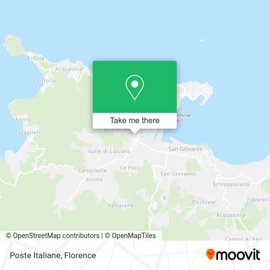
See Italian Post Office, Portoferraio, on the map
Public Transit to Italian Post Office in Portoferraio
Wondering how to get to Italian Post Office in Portoferraio? Moovit helps you find the best way to get to Italian Post Office with step-by-step directions from the nearest public transit station.
Moovit provides free maps and live directions to help you navigate through your city. View schedules, routes, timetables, and find out how long does it take to get to Italian Post Office in real time.
Looking for the nearest stop or station to Italian Post Office? Check out this list of stops closest to your destination: V. Carpani; V. Carpani 35; Bennaccino Junction; Val Di Denari; Portoferraio.
Bus: 2, 1, 9, 11, 222, 3, 118, 116, 117, 120, 121, 4, 6.Ferry: A2, A2F.
Want to see if there’s another route that gets you there at an earlier time? Moovit helps you find alternative routes or times. Get directions from and directions to Italian Post Office easily from the Moovit App or Website.
We make riding to Italian Post Office easy, which is why over 1.5 million users, including users in Portoferraio, trust Moovit as the best app for public transit. You don’t need to download an individual bus app or train app, Moovit is your all-in-one transit app that helps you find the best bus time or train time available.
For information on prices of bus, ferry and train, costs and ride fares to Italian Post Office, please check the Moovit app.
Use the app to navigate to popular places including to the airport, hospital, stadium, grocery store, mall, coffee shop, school, college, and university.
Italian Post Office Address: Via Carpani, 229 57037 Portoferraio street in Portoferraio
Get around Portoferraio by public transit!
Traveling around Portoferraio has never been so easy. See step by step directions as you travel to any attraction, street or major public transit station. View bus and train schedules, arrival times, service alerts and detailed routes on a map, so you know exactly how to get to anywhere in Portoferraio.
When traveling to any destination around Portoferraio use Moovit's Live Directions with Get Off Notifications to know exactly where and how far to walk, how long to wait for your line, and how many stops are left. Moovit will alert you when it's time to get off — no need to constantly re-check whether yours is the next stop.
Wondering how to use public transit in Portoferraio or how to pay for public transit in Portoferraio? Moovit public transit app can help you navigate your way with public transit easily, and at minimum cost. It includes public transit fees, ticket prices, and costs. Looking for a map of Portoferraio public transit lines? Moovit public transit app shows all public transit maps in Portoferraio with all Bus, Train, Light Rail, Ferry and Funicular routes and stops on an interactive map.
Florence has 5 transit type(s), including: Bus, Train, Light Rail, Ferry and Funicular, operated by several transit agencies, including Florence Urban - Tuscan Bus Lines, GEST, Livorno and Province - Tuscan Bus Lines, Arezzo, Florence and Provinces - Tuscan Bus Lines, Prato and Province - Tuscan Bus Lines, Lucca and Province - Tuscan Bus Lines, Massa, Carrara and Province - Tuscan Bus Lines, Pisa and Province - Tuscan Bus Lines, Grosseto, Siena and Provinces - Tuscan Bus Lines, Arezzo, Siena and Provinces - Tuscan Bus Lines, Florence and Province - Tuscan Bus Lines, Pistoia and Province - Tuscan Bus Lines, Siena and Province - Tuscan Bus Lines, Arezzo and Province - Tuscan Bus Lines and Trenitalia