How to get to Potomac Harmony Chorus by bus?
Click on the bus route to see step by step directions with maps, line arrival times and updated time schedules.
From The Royal Sonesta Washington DC Dupont Circle (Sonesta Hotel), Washington
99 minFrom U.S. Department of Agriculture (USDA) Jamie L. Whitten Building, Washington
107 minFrom U.S. Chamber of Commerce, Washington
84 minFrom Royal Sonesta Washington DC, Washington
99 minFrom Smithsonian National Air And Space Museum, Washington
105 minFrom C&O Canal Towpath, Washington
102 minFrom US Holocaust Memorial Museum, Washington
105 minFrom Ronald Reagan Building, Washington
98 minFrom NASA HQ, Washington
104 minFrom National Gallery of Art Sculpture Garden Ice Rink, Washington
104 min
Bus stops near Potomac Harmony Chorus in Alexandria
Bus lines to Potomac Harmony Chorus in Alexandria
- F20, East To King St-Old Town,VIEW
- A76, North To Rosslyn,VIEW
- 31, Braddock Road Station,VIEW
- 35, Pentagon Transit Center,VIEW
- A27, North To Pentagon,VIEW
- A29, North To Metro Center,VIEW
- 36A, West Alexandria Transit Center (School Special),VIEW
- 36B, Mark Center Sta Via Valley Dr/Park Place,VIEW
- 102, King St-Old Town Station,VIEW
What are the closest stations to Potomac Harmony Chorus?
The closest stations to Potomac Harmony Chorus are:
- Fillmore Av+N Beauregard St is 86 yards away, 2 min walk.
- N Beauregard St + Fillmore Ave is 118 yards away, 2 min walk.
- The Graham at Southern Towers is 563 yards away, 8 min walk.
Which bus lines stop near Potomac Harmony Chorus?
These bus lines stop near Potomac Harmony Chorus: 35, A27, A76.
What’s the nearest bus station to Potomac Harmony Chorus in Alexandria?
The nearest bus stations to Potomac Harmony Chorus in Alexandria are Fillmore Av+N Beauregard St and N Beauregard St + Fillmore Ave. The closest one is a 2 min walk away.
What time is the first bus to Potomac Harmony Chorus in Alexandria?
The F20 is the first bus that goes to Potomac Harmony Chorus in Alexandria. It stops nearby at 4:18 AM.
What time is the last bus to Potomac Harmony Chorus in Alexandria?
The F20 is the last bus that goes to Potomac Harmony Chorus in Alexandria. It stops nearby at 2:42 AM.
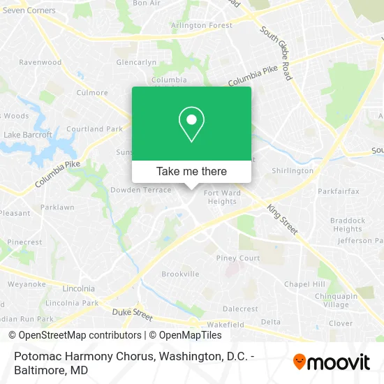
See Potomac Harmony Chorus, Alexandria, on the map
Public Transit to Potomac Harmony Chorus in Alexandria
Wondering how to get to Potomac Harmony Chorus in Alexandria? Moovit helps you find the best way to get to Potomac Harmony Chorus with step-by-step directions from the nearest public transit station.
Moovit provides free maps and live directions to help you navigate through your city. View schedules, routes, timetables, and find out how long does it take to get to Potomac Harmony Chorus in real time.
Looking for the nearest stop or station to Potomac Harmony Chorus? Check out this list of stops closest to your destination: Fillmore Av+N Beauregard St; N Beauregard St + Fillmore Ave; The Graham at Southern Towers.
Bus: 35, A27, A76, F20, 31, A29, 36A, 36B, 102.
Want to see if there’s another route that gets you there at an earlier time? Moovit helps you find alternative routes or times. Get directions from and directions to Potomac Harmony Chorus easily from the Moovit App or Website.
We make riding to Potomac Harmony Chorus easy, which is why over 1.5 million users, including users in Alexandria, trust Moovit as the best app for public transit. You don’t need to download an individual bus app or train app, Moovit is your all-in-one transit app that helps you find the best bus time or train time available.
For information on prices of bus and metro, costs and ride fares to Potomac Harmony Chorus, please check the Moovit app.
Use the app to navigate to popular places including to the airport, hospital, stadium, grocery store, mall, coffee shop, school, college, and university.
Potomac Harmony Chorus Address: 5000 Fairbanks Ave Alexandria, VA 22311 street in Alexandria
- Variety of Layouts,
- Caribbean Contractors Inc,
- Campagna Center,
- 28A To King Street Metro,
- N Beauregard St (seminary road beauregard),
- Nova Online / Alexandria Campus Bookstore,
- Nova Online / Alexandria Campus Bookstore (NVCC Alexandria Campus Bookstore),
- Fine Arts Building (Afa),
- Numbness Stop Chiropractor,
- Darul Hikmah Islamic Center,
- Student Parking (B1),
- Southern Towers Rdwy & Graham Bldg,
- The Monticello,
- Repair Solutions,
- Maybaum Movers,
- Donald L. Bisdorf Building (Aa),
- Derry Haws,
- Goodwin House,
- Muscle Maker Grill Pokemoto,
- Voting at Nova Arts Center
Places Near Potomac Harmony Chorus (Alexandria)
- PG Mall, Prince George's County,
- Capital One Arena, Washington,
- Sibley Memorial Hospital, Washington,
- National Zoo, Washington,
- Westfield Montgomery Mall, Montgomery County,
- Georgetown, Washington,
- Warner Theatre, Washington,
- Basilica of the National Shrine, Washington,
- Museum Of The Bible, Washington,
- National Museum of African American History and Culture, Washington,
- Rock Creek Tennis Center, Washington,
- Amazon Hq2, Arlington County,
- Washington DC VA Medical Center, Washington,
- Pennsylvania Ave NW (3rd st and pennsylvania), Washington,
- National Theatre, Washington,
- The Anthem, Washington,
- Washington National Cathedral, Washington,
- Marriott Marquis Washington, DC, Washington,
- M&T Bank Stadium, Baltimore,
- Camden Yards, Baltimore
How to get to popular places in Washington, D.C. - Baltimore, MD with public transit
Get around Alexandria by public transit!
Traveling around Alexandria has never been so easy. See step by step directions as you travel to any attraction, street or major public transit station. View bus and train schedules, arrival times, service alerts and detailed routes on a map, so you know exactly how to get to anywhere in Alexandria.
When traveling to any destination around Alexandria use Moovit's Live Directions with Get Off Notifications to know exactly where and how far to walk, how long to wait for your line, and how many stops are left. Moovit will alert you when it's time to get off — no need to constantly re-check whether yours is the next stop.
Wondering how to use public transit in Alexandria or how to pay for public transit in Alexandria? Moovit public transit app can help you navigate your way with public transit easily, and at minimum cost. It includes public transit fees, ticket prices, and costs. Looking for a map of Alexandria public transit lines? Moovit public transit app shows all public transit maps in Alexandria with all Bus, Train, Metro, Light Rail and Ferry routes and stops on an interactive map.
Washington, D.C. - Baltimore, MD has 5 transit type(s), including: Bus, Train, Metro, Light Rail and Ferry, operated by several transit agencies, including WMATA, Montgomery County Ride On, Fairfax Connector, TheBus, PRTC, DASH - Alexandria, Arlington Transit (ART), RTA of Central Maryland, MDOT MTA, MDOT MTA Light RailLink, MDOT MTA Commuter Bus, MDOT MTA Local Bus, FXBGO!, Virginia Railway Express (VRE) and MARC