How to get to Power Locksmith by bus?
Click on the bus route to see step by step directions with maps, line arrival times and updated time schedules.
From Bepxxx, Fort Lauderdale
56 minFrom N Federal Hwy, Fort Lauderdale
59 minFrom Quebec-Florida Chamber of Commerce, Fort Lauderdale
62 minFrom Crystal River, Fort Lauderdale
59 minFrom Jay's Professional Enterprises, Fort Lauderdale
45 minFrom State Road 7 & West Sunrise Boulevard, Plantation
59 minFrom Wilton Manors, Fort Lauderdale
68 minFrom State Road 7 & West Sunrise Boulevard, Fort Lauderdale
57 minFrom Swap Shop, Fort Lauderdale
63 minFrom Intersection : N Andrews Ave & Sample Rd., Pompano Beach
41 min
Bus stops near Power Locksmith in Coral Springs-Margate
Bus lines to Power Locksmith in Coral Springs-Margate
What are the closest stations to Power Locksmith?
The closest stations to Power Locksmith are:
- US 441/Northwest 3rd Street is 229 yards away, 3 min walk.
- US 441/Southgate Boulevard is 432 yards away, 6 min walk.
- Atlantic Boulevard/US 441 is 653 yards away, 8 min walk.
Which bus lines stop near Power Locksmith?
These bus lines stop near Power Locksmith: 19, 42, 441.
What’s the nearest bus station to Power Locksmith in Coral Springs-Margate?
The nearest bus station to Power Locksmith in Coral Springs-Margate is US 441/Northwest 3rd Street. It’s a 3 min walk away.
What time is the first bus to Power Locksmith in Coral Springs-Margate?
The 19 is the first bus that goes to Power Locksmith in Coral Springs-Margate. It stops nearby at 4:39 AM.
What time is the last bus to Power Locksmith in Coral Springs-Margate?
The 19 is the last bus that goes to Power Locksmith in Coral Springs-Margate. It stops nearby at 1:12 AM.
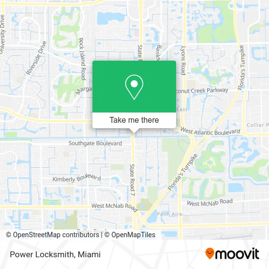
See Power Locksmith, Coral Springs-Margate, on the map
Public Transit to Power Locksmith in Coral Springs-Margate
Wondering how to get to Power Locksmith in Coral Springs-Margate? Moovit helps you find the best way to get to Power Locksmith with step-by-step directions from the nearest public transit station.
Moovit provides free maps and live directions to help you navigate through your city. View schedules, routes, timetables, and find out how long does it take to get to Power Locksmith in real time.
Looking for the nearest stop or station to Power Locksmith? Check out this list of stops closest to your destination: US 441/Northwest 3rd Street; US 441/Southgate Boulevard; Atlantic Boulevard/US 441.
Bus: 19, 42, 441.
Want to see if there’s another route that gets you there at an earlier time? Moovit helps you find alternative routes or times. Get directions from and directions to Power Locksmith easily from the Moovit App or Website.
We make riding to Power Locksmith easy, which is why over 1.5 million users, including users in Coral Springs-Margate, trust Moovit as the best app for public transit. You don’t need to download an individual bus app or train app, Moovit is your all-in-one transit app that helps you find the best bus time or train time available.
For information on prices of bus, costs and ride fares to Power Locksmith, please check the Moovit app.
Use the app to navigate to popular places including to the airport, hospital, stadium, grocery store, mall, coffee shop, school, college, and university.
Power Locksmith Address: 100 N State Road 7 Pompano Beach, FL 33063 street in Coral Springs-Margate
- U-First Dental,
- Plumbers 24 Hours,
- Skaipay,
- Florida Total Health Care,
- PC Medical Associates,
- Law Office of Walker and Associates,
- Cypress Creek Greenway,
- Kraeer Funeral Homes,
- Ned S Rosenthal O.D. B,
- Andrew & Assoc,
- Levin James G-Attorney at Law,
- Chifa Taypa Chinese Restaurant,
- Shanaaz Flava Fusion,
- Dr. Steven R Koganovsky, Coral Springs Eye Center,
- Sir Speedy,
- Harris Thessica Pa,
- Bytes Computer Networks,
- Chiropractic Rehabilitation Center,
- Brico,
- Advanced Realty
Places Near Power Locksmith (Coral Springs-Margate)
- Dolphin Mall Bus, Miami,
- Marlins Park, Miami,
- Keiser University Flagship Campus, West Palm Beach,
- Aventura Mall, Miami Beach,
- Sawgrass Mall, Miami,
- Miami-Dade County Courthouse, Miami,
- Richard E. Gerstein Justice Building, Miami,
- Little Havana, Miami,
- Miami Design District, Miami,
- Port of Miami Cruise Terminal, Miami,
- Miami Freedom Park, Miami,
- Brickell City Centre, Miami,
- Dolphin Mall, Miami,
- Wynwood, Miami,
- Zoo Miami, Miami,
- Miami VA Hospital, Miami,
- Bayside Marketplace, Miami,
- Sawgrass mall ( FL ), Miami Beach,
- Hard Rock Stadium, Miami Gardens,
- Aventura Mall, Miami
How to get to popular places in Miami with public transit
Get around Coral Springs-Margate by public transit!
Traveling around Coral Springs-Margate has never been so easy. See step by step directions as you travel to any attraction, street or major public transit station. View bus and train schedules, arrival times, service alerts and detailed routes on a map, so you know exactly how to get to anywhere in Coral Springs-Margate.
When traveling to any destination around Coral Springs-Margate use Moovit's Live Directions with Get Off Notifications to know exactly where and how far to walk, how long to wait for your line, and how many stops are left. Moovit will alert you when it's time to get off — no need to constantly re-check whether yours is the next stop.
Wondering how to use public transit in Coral Springs-Margate or how to pay for public transit in Coral Springs-Margate? Moovit public transit app can help you navigate your way with public transit easily, and at minimum cost. It includes public transit fees, ticket prices, and costs. Looking for a map of Coral Springs-Margate public transit lines? Moovit public transit app shows all public transit maps in Coral Springs-Margate with all Bus, Train, Light Rail and Ferry routes and stops on an interactive map.
Miami has 4 transit type(s), including: Bus, Train, Light Rail and Ferry, operated by several transit agencies, including Broward County Transit, Miami-Dade Transit, Metrorail, Palm Tran, Tri-Rail, Brightline, MARTY, City of Homestead Trolley, Key West Transit, Treasure Coast Connector, GoLine IRT, Amtrak, Greyhound-us, FlixBus-us and Aventura Express Shuttle Bus