How to get to Power Realty & Development by bus?
Click on the bus route to see step by step directions with maps, line arrival times and updated time schedules.
From The Theatre at Resorts World, Winchester
52 minFrom Taco Bell Cantina, Paradise
64 minFrom Dolby Live at Park MGM, Paradise
61 minFrom Las Vegas Zoo, Las Vegas
68 minFrom CVS/pharmacy, Paradise
57 minFrom PF Chang's China Bistro, Paradise
64 minFrom Outlet Mall, Las Vegas
56 minFrom Planet Hollywood Miracle Mile, Paradise
64 minFrom Hampton Inn Tropicana Las Vegas, Paradise
64 minFrom Paris Hotel & Casino Parking Garage, Paradise
63 min
Bus stops near Power Realty & Development in Las Vegas
Bus lines to Power Realty & Development in Las Vegas
What are the closest stations to Power Realty & Development?
The closest stations to Power Realty & Development are:
- Eb Sahara Before Lake Sahara is 312 yards away, 4 min walk.
- Nb Durango After Obannon is 706 yards away, 9 min walk.
Which bus line stops near Power Realty & Development?
SX (Sx-B Sahara Express Westbound)
What’s the nearest bus station to Power Realty & Development in Las Vegas?
The nearest bus station to Power Realty & Development in Las Vegas is Eb Sahara Before Lake Sahara. It’s a 4 min walk away.
What time is the first bus to Power Realty & Development in Las Vegas?
The SX is the first bus that goes to Power Realty & Development in Las Vegas. It stops nearby at 3:00 AM.
What time is the last bus to Power Realty & Development in Las Vegas?
The SX is the last bus that goes to Power Realty & Development in Las Vegas. It stops nearby at 3:29 AM.
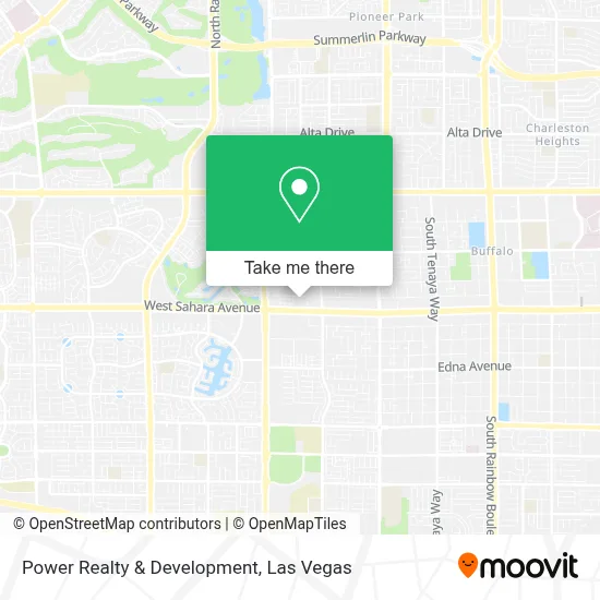
See Power Realty & Development, Las Vegas, on the map
Public Transit to Power Realty & Development in Las Vegas
Wondering how to get to Power Realty & Development in Las Vegas? Moovit helps you find the best way to get to Power Realty & Development with step-by-step directions from the nearest public transit station.
Moovit provides free maps and live directions to help you navigate through your city. View schedules, routes, timetables, and find out how long does it take to get to Power Realty & Development in real time.
Looking for the nearest stop or station to Power Realty & Development? Check out this list of stops closest to your destination: Eb Sahara Before Lake Sahara; Nb Durango After Obannon.
Bus: SX, 121.
Want to see if there’s another route that gets you there at an earlier time? Moovit helps you find alternative routes or times. Get directions from and directions to Power Realty & Development easily from the Moovit App or Website.
We make riding to Power Realty & Development easy, which is why over 1.7 million users, including users in Las Vegas, trust Moovit as the best app for public transit. You don’t need to download an individual bus app or train app, Moovit is your all-in-one transit app that helps you find the best bus time or train time available.
For information on prices of bus and Monorail, costs and ride fares to Power Realty & Development, please check the Moovit app.
Use the app to navigate to popular places including to the airport, hospital, stadium, grocery store, mall, coffee shop, school, college, and university.
Power Realty & Development Address: 8350 W Sahara Ave Ste 290 street in Las Vegas
- S Durango Dr / W Sahara Ave,
- Krazy Buffet,
- Korman Overhead Doors,
- Saxxy's BBQ Sauce,
- Appliance Repair Las Vegas,
- Lake Tahoe,
- Lynda J Jensen CPA,
- Lake Sahara (North Side Park),
- Sahara And Buffalo,
- All American Park,
- Guitar Center,
- NV-159,
- Anthem,
- City of Hope,
- Black Roze Hair Design by Jessica Peters,
- Dollar Tree,
- Giordano's,
- Biolife Plasma Services,
- DSR Tools,
- Coinstar
Places Near Power Realty & Development (Las Vegas)
- Allegiant Stadium, Paradise,
- Walmart, Las Vegas,
- Area15, Las Vegas,
- Las Vegas South Premium Outlets, Enterprise,
- Koolsville Tattoos, Las Vegas,
- Town Square, Enterprise,
- Las Vegas Premium Outlets-North, Enterprise,
- Walmart Supercenter, Las Vegas,
- Welcome To Fabulous Las Vegas Sign, Paradise,
- The Palms Casino Resort, Paradise,
- Las Vegas North Premium Outlets, Las Vegas,
- The Deuce Bus Stop at Fremont St, Las Vegas,
- The Neon Museum, Las Vegas,
- Gold & Silver Pawn Shop, Las Vegas,
- Trump International Hotel Las Vegas, Paradise,
- Omega Mart, Las Vegas,
- Lee Canyon, Las Vegas,
- Zak Bagans Haunted Museum, Las Vegas,
- Meow Wolf - Las Vegas (Meow Wolf's Omega Mart), Las Vegas,
- Arte Museum Las Vegas, Paradise
How to get to popular places in Las Vegas with public transit
Get around Las Vegas by public transit!
Traveling around Las Vegas has never been so easy. See step by step directions as you travel to any attraction, street or major public transit station. View bus and train schedules, arrival times, service alerts and detailed routes on a map, so you know exactly how to get to anywhere in Las Vegas.
When traveling to any destination around Las Vegas use Moovit's Live Directions with Get Off Notifications to know exactly where and how far to walk, how long to wait for your line, and how many stops are left. Moovit will alert you when it's time to get off — no need to constantly re-check whether yours is the next stop.
Wondering how to use public transit in Las Vegas or how to pay for public transit in Las Vegas? Moovit public transit app can help you navigate your way with public transit easily, and at minimum cost. It includes public transit fees, ticket prices, and costs. Looking for a map of Las Vegas public transit lines? Moovit public transit app shows all public transit maps in Las Vegas with all Bus and Monorail routes and stops on an interactive map.
Las Vegas has 2 transit type(s), including: Bus and Monorail, operated by several transit agencies, including RTCSNV, City of Las Vegas, Alvand Transportation, Vegas Airporter, Las Vegas Monorail, FlixBus-us and Greyhound-us