How to get to Pozole by bus?
Click on the bus route to see step by step directions with maps, line arrival times and updated time schedules.
From Tec de Monterrey Campus Ags, Aguascalientes
47 minFrom Casa Club Necaxa, Aguascalientes
55 minFrom 49, Aguascalientes
42 minFrom Segundo Anillo, Aguascalientes
31 minFrom Quintas Miguel Gerónimo, Aguascalientes
57 minFrom Tec De Monterrey Campus Aguascalientes, Aguascalientes
50 minFrom Av Eugenio Garza Sada, Aguascalientes
46 minFrom Loreto, Aguascalientes
34 minFrom Universidad Del Valle De Mexico, Aguascalientes
39 min
Bus stops near Pozole in Aguascalientes
Bus lines to Pozole in Aguascalientes
- RUTA 02, Centro (Jardín Carpio),VIEW
- RUTA 07, Villa Las Palmas,VIEW
- RUTA 28, Jesús María,VIEW
- RUTA 37, Hacienda San Marcos,VIEW
- RUTA 18, Uaa,VIEW
- RUTA 36, Lunaria,VIEW
- RUTA 40, Terminal Oriente - Terminal Oriente (S),VIEW
- RUTA 42, Bellavista,VIEW
- RUTA 40, Terminal Oriente - Terminal Oriente (N),VIEW
- RUTA 20N, Terminal Oriente - Terminal Oriente (N),VIEW
- RUTA 29, Centro (Jardínde Zaragoza),VIEW
- RUTA 51, Casa Blanca,VIEW
What are the closest stations to Pozole?
The closest stations to Pozole are:
- Avenida Héroe De Nacozari, 1809(1810) is 423 meters away, 6 min walk.
- Avenida Aguascalientes Sur, 1100 is 461 meters away, 6 min walk.
- Aguascalientes Sur, 405b is 765 meters away, 10 min walk.
- Avenida De La Convención De 1914 Sur, 1205a is 836 meters away, 11 min walk.
- Avenida Mariano Escobedo, 1503a is 943 meters away, 13 min walk.
Which bus lines stop near Pozole?
These bus lines stop near Pozole: RUTA 02, RUTA 28, RUTA 37, RUTA 40.
What’s the nearest bus station to Pozole in Aguascalientes?
The nearest bus stations to Pozole in Aguascalientes are Avenida Héroe De Nacozari, 1809(1810) and Avenida Aguascalientes Sur, 1100. The closest one is a 6 min walk away.
What time is the first bus to Pozole in Aguascalientes?
The RUTA 40 is the first bus that goes to Pozole in Aguascalientes. It stops nearby at 5:56 AM.
What time is the last bus to Pozole in Aguascalientes?
The RUTA 07 is the last bus that goes to Pozole in Aguascalientes. It stops nearby at 10:56 PM.
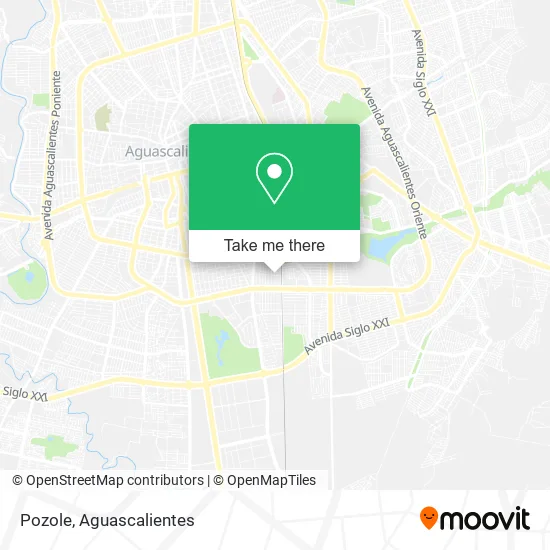
See Pozole, Aguascalientes, on the map
Public Transit to Pozole in Aguascalientes
Wondering how to get to Pozole in Aguascalientes? Moovit helps you find the best way to get to Pozole with step-by-step directions from the nearest public transit station.
Moovit provides free maps and live directions to help you navigate through your city. View schedules, routes, timetables, and find out how long does it take to get to Pozole in real time.
Looking for the nearest stop or station to Pozole? Check out this list of stops closest to your destination: Avenida Héroe De Nacozari; Avenida Aguascalientes Sur; Aguascalientes Sur; Avenida De La Convención De 1914 Sur; Avenida Mariano Escobedo.
Bus: RUTA 02, RUTA 28, RUTA 37, RUTA 40, RUTA 07, RUTA 18, RUTA 36, RUTA 42, RUTA 20N, RUTA 29, RUTA 51.
Want to see if there’s another route that gets you there at an earlier time? Moovit helps you find alternative routes or times. Get directions from and directions to Pozole easily from the Moovit App or Website.
We make riding to Pozole easy, which is why over 1.5 million users, including users in Aguascalientes, trust Moovit as the best app for public transit. You don’t need to download an individual bus app or train app, Moovit is your all-in-one transit app that helps you find the best bus time or train time available.
For information on prices of bus, costs and ride fares to Pozole, please check the Moovit app.
Use the app to navigate to popular places including to the airport, hospital, stadium, grocery store, mall, coffee shop, school, college, and university.
Pozole Address: Calle Casa Blanca 504, Unidad Hab Ojo de Agua Infonavit, 20265 Aguascalientes, Aguascalientes street in Aguascalientes
- Tacos de Bistec,
- Tortillería Las Palomas,
- Venta de Gorditas,
- Cenaduria Paty,
- Venta de Antojitos Mexicanos,
- Gorditas,
- Ferretería Durmac,
- Farmacia Tres Ángeles,
- Tacos de Tripas,
- Menudos,
- Jugos,
- Carniceria Nuevo Leon,
- Tienda de Ropa para Dama Alfaros,
- Mini Super Sergios,
- Triangulo Estudio,
- Comercio al por Menor de Bebidas No Alcohólicas y Hielo,
- Agua Purificada La Celestial,
- American Sport,
- Dulcería Gioco,
- Parque Recreativo El Manantial de Ojo de Agua Satevó . Chihuahua.
Places Near Pozole (Aguascalientes)
- ESPACIOS, Aguascalientes,
- Hospital Imss No. 3, Aguascalientes,
- Jesús María, Aguascalientes,
- Universidad Autónoma de Aguascalientes, Aguascalientes,
- Blvd. Luis Donaldo Colosio, Aguascalientes,
- Isla San Marcos, Aguascalientes,
- Centro, Aguascalientes,
- Aeropuerto de Aguascalientes S.A. de C.V., Aguascalientes,
- La Isla San Marcos, Aguascalientes,
- Central De Autobuses, Aguascalientes,
- Terminal De Combis, Aguascalientes,
- Nuevo Hospital Hidalgo, Aguascalientes,
- Ciudad industrial, Aguascalientes,
- Centro Comercial Altaria, Aguascalientes,
- Parque Las Tres Centurias, Aguascalientes,
- clinica 3 uaa, Aguascalientes,
- Imss Clinica 1, Aguascalientes,
- Villas de Nuestra Señora de la Asunción, Aguascalientes,
- Agropecuario, Aguascalientes,
- Villasuncion, Aguascalientes
How to get to popular places in Aguascalientes with public transit
Get around Aguascalientes by public transit!
Traveling around Aguascalientes has never been so easy. See step by step directions as you travel to any attraction, street or major public transit station. View bus and train schedules, arrival times, service alerts and detailed routes on a map, so you know exactly how to get to anywhere in Aguascalientes.
When traveling to any destination around Aguascalientes use Moovit's Live Directions with Get Off Notifications to know exactly where and how far to walk, how long to wait for your line, and how many stops are left. Moovit will alert you when it's time to get off — no need to constantly re-check whether yours is the next stop.
Wondering how to use public transit in Aguascalientes or how to pay for public transit in Aguascalientes? Moovit public transit app can help you navigate your way with public transit easily, and at minimum cost. It includes public transit fees, ticket prices, and costs. Looking for a map of Aguascalientes public transit lines? Moovit public transit app shows all public transit maps in Aguascalientes with all bus routes and stops on an interactive map.
Aguascalientes has 1 transit type(s), including: bus, operated by several transit agencies, including Coordinación General de Movilidad