Praça Do Bandeirante 1 stop - Sunday schedule
| Line | Direction | Time |
|---|---|---|
| 01 | Santa Izabel | 3:23 AM |
| 01 | Santa Izabel | 3:50 AM |
| 01 | Santa Izabel | 4:17 AM |
| 01 | Santa Izabel | 4:44 AM |
| 49A | Quinta Dom Ricardo | 5:03 AM |
| 49 | Itaitindiba | 5:03 AM |
| 25B | Alcântara ↔ Bandeirantes (Circular) | 5:03 AM |
| 23A | Mundel | 5:03 AM |
| 01 | Santa Izabel | 5:11 AM |
| 15 | Centro | 5:14 AM |
| 15A | Alcântara | 5:15 AM |
| 30A | São Pedro | 5:20 AM |
| 54 | Meia Noite | 5:21 AM |
| 30 | São Pedro | 5:21 AM |
| 23 | Mundel | 5:22 AM |
| 25A | Jardim Tiradentes | 5:22 AM |
| 49A | Quinta Dom Ricardo | 5:33 AM |
| 49 | Itaitindiba | 5:33 AM |
| 25B | Alcântara ↔ Bandeirantes (Circular) | 5:33 AM |
| 23A | Mundel | 5:33 AM |
| 01 | Santa Izabel | 5:40 AM |
| 15 | Centro | 5:44 AM |
| 15A | Alcântara | 5:45 AM |
| 01A | Santa Izabel | 5:48 AM |
| 30A | São Pedro | 5:50 AM |
Directions to Praça Do Bandeirante 1 stop (São Gonçalo) with public transit
The following transit lines have routes that pass near Praça Do Bandeirante 1
 Bus: 01, 08, 488M, 49B, 54.
How to get to Praça Do Bandeirante 1 stop by bus?
Click on the bus route to see step by step directions with maps, line arrival times and updated time schedules.
Bus stops near Praça Do Bandeirante 1 stop in São Gonçalo
- Estr. Raul Veiga 2126 - Amendoeira São Gonçalo, 1 min walk,
- Praça Do Bandeirante 2, 3 min walk,
- Estrada Raul Veiga, 1180, 4 min walk,
Bus lines to Praça Do Bandeirante 1 stop in São Gonçalo
- 488M, Vista Alegre - Niterói (Via Boa Vista do Laranjal),
- 549M, Santa Izabel x Niterói,
- 549MS, Sacramento - Niterói,
- 553M, Niterói - Sacramento ( Via Bairro Legião ),
- 728D, Santa Isabel - Candelária,
- 7721D, Santa Isabel - Candelária,
- 7721P, Pacheco x Acre,
- 9721D, Botafogo - Santa Isabel,
- 01, Santa Izabel - Centro,
- 01A, Santa Izabel - Alcântara,
- 08, Engenho do Roçado - Alcântara,
- 15, Jockey - Centro (Via Alcântara),
- 15A, Jockey - Alcântara,
- 18, Alcântara - Legião (Circular),
- 23, Mundel - Centro,
- 23A, Mundel - Alcântara,
- 25, Jardim Tiradentes - Alcântara,
- 25A, Jardim Tiradentes - Centro (Via Fórum),
- 30, São Pedro - Centro (Via Lagoa Seca / Fórum),
- 30A, São Pedro - Centro (Via Pacheco / Fórum),
What are the closest stations to Praça Do Bandeirante 1?
The closest stations to Praça Do Bandeirante 1 are:
- Estr. Raul Veiga 2126 - Amendoeira São Gonçalo stop is 11 meters away, 1 min walk.
- Praça Do Bandeirante 2 stop is 191 meters away, 3 min walk.
- Estrada Raul Veiga, 1180 stop is 249 meters away, 4 min walk.
Which bus lines stop near Praça Do Bandeirante 1?
These bus lines stop near Praça Do Bandeirante 1: 01, 08, 488M, 49B, 54, 549M, 728D.
What’s the nearest bus station to Praça Do Bandeirante 1 in São Gonçalo?
The nearest bus station to Praça Do Bandeirante 1 in São Gonçalo is Estr. Raul Veiga 2126 - Amendoeira São Gonçalo. It’s a 1 min walk away.
What time is the first bus to Praça Do Bandeirante 1 in São Gonçalo?
The 549M is the first bus that goes to Praça Do Bandeirante 1 in São Gonçalo. It stops nearby at 3:31 AM.
What time is the last bus to Praça Do Bandeirante 1 in São Gonçalo?
The 549M is the last bus that goes to Praça Do Bandeirante 1 in São Gonçalo. It stops nearby at 2:35 AM.
Praça Do Bandeirante 1 station
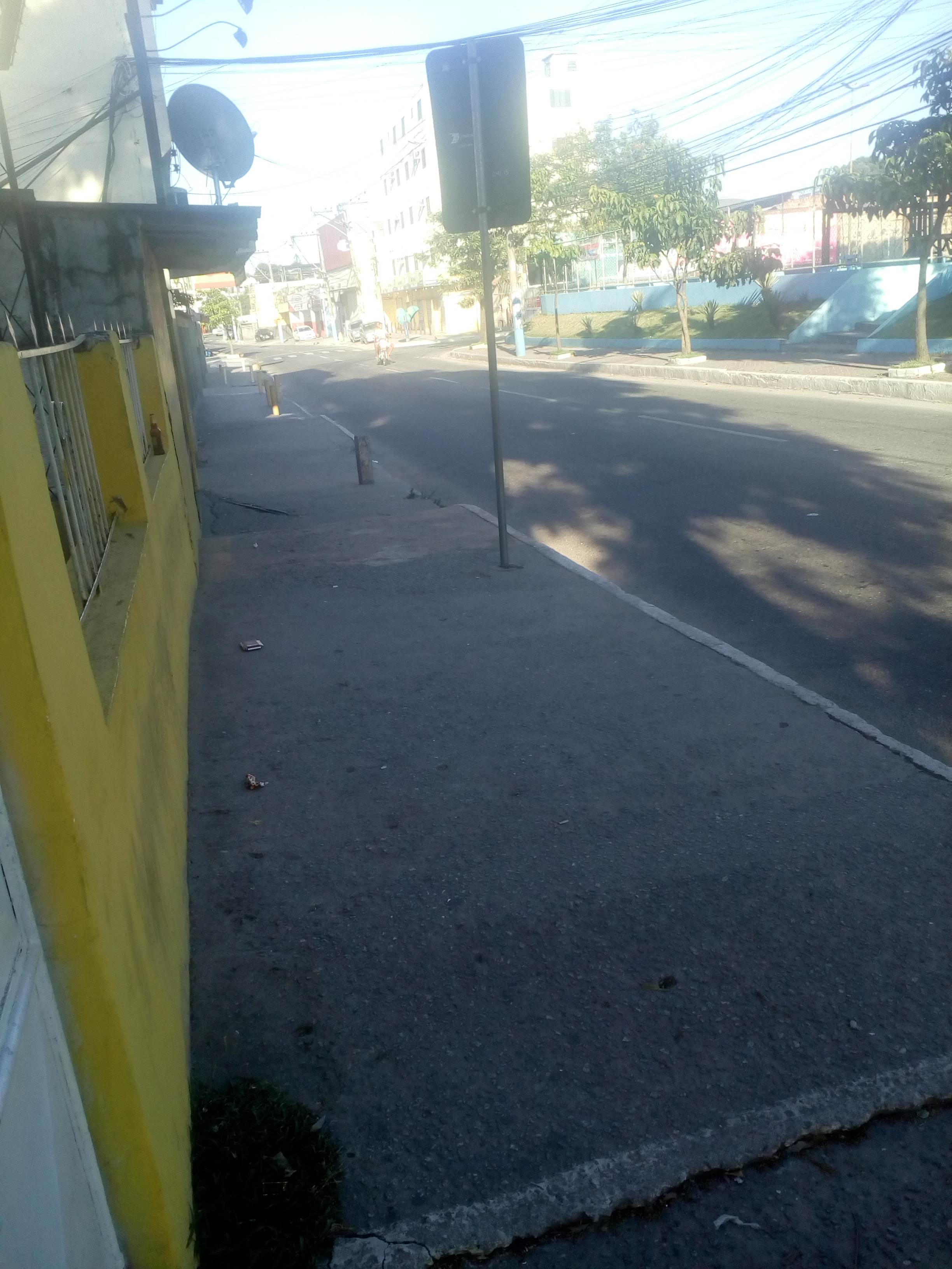 Taken by Anonymous
See Praça Do Bandeirante 1 stop, São Gonçalo, on the map
Public transit to Praça Do Bandeirante 1 stop in São Gonçalo
Looking for directions to Praça Do Bandeirante 1 in São Gonçalo, Brazil?
Download the Moovit App to find the current schedule and step-by-step directions for Bus routes that pass through Praça Do Bandeirante 1.
Looking for the nearest stops closest to Praça Do Bandeirante 1 ? Check out this list of closest stops to your destination: Estr. Raul Veiga 2126 - Amendoeira São Gonçalo; Praça Do Bandeirante 2; Estrada Raul Veiga.
Bus: 01, 08, 488M, 49B, 54, 549M, 728D, 549MS, 553M, 01A, 15, 15A, 20A, 25B.
We make riding on public transit to Praça Do Bandeirante 1 easy, which is why over 1.7 billion users, including users in São Gonçalo trust Moovit as the best app for public transit.
Use the app to navigate to popular places including to the airport, hospital, stadium, grocery store, mall, coffee shop, school, college, and university.
The first line to this stop is 01, at 3:23 AM, and the last line is 25A at 12:21 AM.
SN Entrada Das Pedrinhas, Ipiiba, Brazil
This stop serves Consórcio SÃO GONÇALO’s lines
Popular routes from Praça Do Bandeirante 1 stop, São Gonçalo
- Estr. Raul Veiga 2126 - Amendoeira São Gonçalo,
- Praça Do Bandeirante 2,
- Estrada Raul Veiga, 1180
Bus stops near Praça Do Bandeirante 1 stop
- Avenida Brigadeiro Lima E Silva | Praça Humaitá,
- Ponto Final - Maria Paula,
- Avenida Brasil - Trevo De Deodoro,
- Estrada Do Gabinal | Rio Office Mall,
- São Cristóvão,
- Lourenço Jorge,
- Estrada Adhemar Bebiano, 177-257,
- Estrada Da Gávea, 242-266,
- Quality Shopping,
- Ponto Final - Seropédica (Santa Sofia),
- Avenida Dom Hélder Câmara | Shopping Nova América,
- Cemitério De Austin,
- Estrada Rodrigues Caldas, 1075,
- Passarela De Santa Cruz Da Serra,
- Avenida Brasil | Passarela 35,
- Nova América / Del Castilho,
- Praça Do Aleijadinho | Morro Do Banco,
- Estrada Da Pedra | Garagem Transriver,
- Metrô Irajá (Sentido Madureira),
- Vila Do João (Sentido Avenida Brasil)
Popular public transit stations in São Gonçalo
Get around São Gonçalo by public transit!
Traveling around São Gonçalo has never been so easy. See step by step directions as you travel to any attraction, street or major public transit station. View bus and train schedules, arrival times, service alerts and detailed routes on a map, so you know exactly how to get to anywhere in São Gonçalo.
When traveling to any destination around São Gonçalo use Moovit's Live Directions with Get Off Notifications to know exactly where and how far to walk, how long to wait for your line, and how many stops are left. Moovit will alert you when it's time to get off — no need to constantly re-check whether yours is the next stop.
Wondering how to use public transit in São Gonçalo or how to pay for public transit in São Gonçalo? Moovit public transit app can help you navigate your way with public transit easily, and at minimum cost. It includes public transit fees, ticket prices, and costs. Looking for a map of São Gonçalo public transit lines? Moovit public transit app shows all public transit maps in São Gonçalo with all Bus, Train, Metro, Light Rail, Ferry, Cable Car, Gondola and Funicular routes and stops on an interactive map.
Rio de Janeiro Region has 8 transit type(s), including: Bus, Train, Metro, Light Rail, Ferry, Cable Car, Gondola and Funicular, operated by several transit agencies, including TrensRJ, Metrô Rio, VLT Carioca, Barcas Rio, BRT MOBI-Rio, Auto Viação Alpha, Auto Viação Tijuca, Gire Transportes, Transurb, Viação Nossa Senhora das Graças, Consórcio INTERSUL, Braso Lisboa, Caprichosa Auto Ônibus, Auto Viação Três Amigos and Rodoviária Âncora Matias