How to get to Precision Lock N Key by bus?
Click on the bus route to see step by step directions with maps, line arrival times and updated time schedules.
From MTA X80 - Manhattan to Randall's Island, Manhattan
54 minFrom 1910 Monterey Avenue, Bronx
48 minFrom Columbia University, Manhattan
56 minFrom 125, Manhattan
54 minFrom 125th St & Park Ave, Manhattan
56 minFrom Yankee Stadium, Bronx
46 minFrom North Bergen, NJ, North Bergen
36 minFrom Metro North - Harlem - 125th Street Station, Manhattan
56 minFrom Paramus, NJ, Paramus
44 minFrom IKEA Paramus, Paramus
34 min
Bus stops near Precision Lock N Key in Englewood
Bus lines to Precision Lock N Key in Englewood
What are the closest stations to Precision Lock N Key?
The closest stations to Precision Lock N Key are:
- Palisade Ave at Railroad Crossing is 112 yards away, 2 min walk.
- Dean St at Palisade Ave is 337 yards away, 5 min walk.
- Grand Ave & Palisade Ave is 416 yards away, 6 min walk.
Which bus lines stop near Precision Lock N Key?
These bus lines stop near Precision Lock N Key: 166, 178, 756.
What’s the nearest bus station to Precision Lock N Key in Englewood?
The nearest bus station to Precision Lock N Key in Englewood is Palisade Ave at Railroad Crossing. It’s a 2 min walk away.
What time is the first bus to Precision Lock N Key in Englewood?
The 166 is the first bus that goes to Precision Lock N Key in Englewood. It stops nearby at 4:19 AM.
What time is the last bus to Precision Lock N Key in Englewood?
The 166 is the last bus that goes to Precision Lock N Key in Englewood. It stops nearby at 2:40 AM.
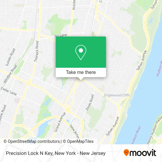
See Precision Lock N Key, Englewood, on the map
Public Transit to Precision Lock N Key in Englewood
Wondering how to get to Precision Lock N Key in Englewood? Moovit helps you find the best way to get to Precision Lock N Key with step-by-step directions from the nearest public transit station.
Moovit provides free maps and live directions to help you navigate through your city. View schedules, routes, timetables, and find out how long does it take to get to Precision Lock N Key in real time.
Looking for the nearest stop or station to Precision Lock N Key? Check out this list of stops closest to your destination: Palisade Ave at Railroad Crossing; Dean St at Palisade Ave; Grand Ave & Palisade Ave.
Bus: 166, 178, 756, 186, 780, ROCKLAND COACHES.
Want to see if there’s another route that gets you there at an earlier time? Moovit helps you find alternative routes or times. Get directions from and directions to Precision Lock N Key easily from the Moovit App or Website.
We make riding to Precision Lock N Key easy, which is why over 1.5 million users, including users in Englewood, trust Moovit as the best app for public transit. You don’t need to download an individual bus app or train app, Moovit is your all-in-one transit app that helps you find the best bus time or train time available.
For information on prices of bus and subway, costs and ride fares to Precision Lock N Key, please check the Moovit app.
Use the app to navigate to popular places including to the airport, hospital, stadium, grocery store, mall, coffee shop, school, college, and university.
Precision Lock N Key Address: 12 Engle St Englewood, NJ 07631 street in Englewood
- Aw Railings,
- Touch of Perfection Cleaning,
- T&J Construction and Home Improvement,
- H&M Construction,
- Ar Notary Signings,
- Hair Vibes by Nikki,
- Complete Paving & Masonry,
- Brady Contracting,
- GENESIS OF ENGLEWOOD,
- Salon Glam,
- Benzel-Busch Service,
- Englewood Grand Ave,
- Smart Center Englewood,
- 7 Souls Tattoo and Body Piercing Studio,
- The Grand Cubano,
- Englewood City, Bergen County, New Jersey,
- U.S. Patent and Trademark Office,
- 20 Grand,
- Dana,
- Englewood Childcare and Learning Center
Places Near Precision Lock N Key (Englewood)
- Mountainside Hospital, Glen Ridge,
- Katz's Deli, Manhattan,
- 376 Hudson Street, Manhattan,
- 111 Centre New York City Supreme Court, Manhattan,
- Wall Street, Manhattan,
- Chinatown, Manhattan,
- Queens Center Mall, Queens,
- Pier 83, Manhattan,
- Times Square, Manhattan,
- 3 Stone St, Manhattan,
- SoHo, Manhattan,
- 911 Memorial, Manhattan,
- San Gennaro Feast, Manhattan,
- 26 Federal Plaza, Manhattan,
- 66 John Street, Manhattan,
- 1 Police Plaza, Manhattan,
- Bellevue Hospital, Manhattan,
- qqqq, Manhattan,
- Rockefeller Center, Manhattan,
- Hudson Yards, Manhattan
How to get to popular places in New York - New Jersey with public transit
Get around Englewood by public transit!
Traveling around Englewood has never been so easy. See step by step directions as you travel to any attraction, street or major public transit station. View bus and train schedules, arrival times, service alerts and detailed routes on a map, so you know exactly how to get to anywhere in Englewood.
When traveling to any destination around Englewood use Moovit's Live Directions with Get Off Notifications to know exactly where and how far to walk, how long to wait for your line, and how many stops are left. Moovit will alert you when it's time to get off — no need to constantly re-check whether yours is the next stop.
Wondering how to use public transit in Englewood or how to pay for public transit in Englewood? Moovit public transit app can help you navigate your way with public transit easily, and at minimum cost. It includes public transit fees, ticket prices, and costs. Looking for a map of Englewood public transit lines? Moovit public transit app shows all public transit maps in Englewood with all Bus, Train, Subway, Light Rail, Ferry and Cable Car routes and stops on an interactive map.
New York - New Jersey has 6 transit type(s), including: Bus, Train, Subway, Light Rail, Ferry and Cable Car, operated by several transit agencies, including MTA Subway, Metro-North Railroad, LIRR, PATH, MTA New York City Transit - Express routes, MTA Bus, NJ Transit, NYC Ferry, NICE bus, Bee-Line Bus, NJ Transit Rail, Norwalk Transit District, Hartford Line, River Valley Transit and HART