Presidente Vargas station - Monday schedule
| Line | Direction | Time |
|---|---|---|
| L1, L4 | Jardim Oceânico | 5:12 AM |
| L2 | Pavuna | 5:13 AM |
| L2 | Pavuna | 5:18 AM |
| L1, L4 | Jardim Oceânico | 5:22 AM |
| L2 | Pavuna | 5:24 AM |
| L2 | Pavuna | 5:30 AM |
| L1, L4 | Jardim Oceânico | 5:32 AM |
| L2 | Pavuna | 5:35 AM |
| L1, L4 | Uruguai | 5:36 AM |
| L2 | Botafogo | 5:40 AM |
| L2 | Pavuna | 5:41 AM |
| L1, L4 | Jardim Oceânico | 5:42 AM |
| L2 | Botafogo | 5:45 AM |
| L1, L4 | Uruguai | 5:46 AM |
| L2 | Pavuna | 5:46 AM |
| L2 | Botafogo | 5:51 AM |
| L1, L4 | Jardim Oceânico | 5:52 AM |
| L2 | Pavuna | 5:52 AM |
| L1, L4 | Uruguai | 5:56 AM |
| L2 | Botafogo | 5:57 AM |
| L2 | Pavuna | 5:58 AM |
| L1, L4 | Jardim Oceânico | 6:02 AM |
| L2 | Botafogo | 6:02 AM |
| L2 | Pavuna | 6:03 AM |
| L1, L4 | Uruguai | 6:06 AM |
Directions to Presidente Vargas station (Centro) with public transit
The following transit lines have routes that pass near Presidente Vargas
 Bus: 100 - TRO1, 2114, 232, 2345, 249.
- Metro: L1, L4, L2.
- Train: RAMAL BELFORD ROXO, RAMAL DEODORO, RAMAL SANTA CRUZ.
How to get to Presidente Vargas station by bus?
Click on the bus route to see step by step directions with maps, line arrival times and updated time schedules.
How to get to Presidente Vargas station by train?
Click on the train route to see step by step directions with maps, line arrival times and updated time schedules.
How to get to Presidente Vargas station by metro?
Click on the metro route to see step by step directions with maps, line arrival times and updated time schedules.
Bus stops near Presidente Vargas stop in Centro
- Metrô Presidente Vargas (Pista Central - Linhas Para Grande Tijuca), 1 min walk,
- BRS 4 5 - Passos, 1 min walk,
- Avenida Presidente Vargas 1023, 1 min walk,
- BRS 4 - Tomé De Sousa, 2 min walk,
- Campo De Santana (Pista Lateral - Sentido Zona Norte), 2 min walk,
- BRS 5 - Tomé De Sousa, 2 min walk,
- Rua Camerino, 164, 4 min walk,
- Avenida Passos 69 Centro Rio De Janeiro - Rio De Janeiro 20051 Brasil, 5 min walk,
- BRS 1 / 4 - Saara, 5 min walk,
Light Rail stations near Presidente Vargas station in Centro
- Camerino-Rosas Negras, 3 min walk,
- Saara, 6 min walk,
Metro stations near Presidente Vargas station in Centro
- Uruguaiana, 6 min walk,
Bus lines to Presidente Vargas station in Centro
- 220, Usina (Via Saens Peña),
- 415, Usina (Via Praia Do Flamengo),
- 422, Grajaú,
- SN 422, Grajaú,
- 209, Caju - Candelária (Brs 1 - Via São Cristóvão - Circular),
- 275, Méier - Candelária (Brs 2 - Via Jacaré - Circular),
- 277, Rocha Miranda - Candelária (Brs 4 - Via Madureira / São Cristóvão),
- 292, Engenho da Rainha - Castelo (Brs 4 - Via Bonsucesso / Av. Brasil),
- SN 292, Engenho da Rainha - Castelo (Brs 4 - Via Bonsucesso / Av. Brasil),
- 296, Irajá - Castelo (Brs 4 - Via Norte Shopping),
- 298, Acari - Castelo (Brs 4 - Via Norte Shopping),
- 300, Sulacap - Candelária (Brs 5 - via BRT Deodoro),
- SR 300, Sulacap - Candelária (Rápido),
- 311, Engenheiro Leal - Candelária (Brs 4 - Via Del Castilho / São Cristóvão),
- 312, Olaria - Candelária (Brs 4 - Via São Cristóvão),
- SN 312, Penha - Candelária (Via Ibiapina / Itararé / Rodoviária),
- 321, Bancários - Castelo (Brs 4 - Via Linha Vermelha),
- 323, Bananal - Castelo (Brs 4 - via Linha Vermelha),
- 324, Ribeira - Candelária (Brs 4 - Via Jardim Guanabara / Av. Brasil),
- 325, Ribeira - Castelo (Brs 4 - Via Jardim Guanabara / Linha Vermelha),
What are the closest stations to Presidente Vargas?
The closest stations to Presidente Vargas are:
- Metrô Presidente Vargas (Pista Central - Linhas Para Grande Tijuca) stop is 4 meters away, 1 min walk.
- BRS 4 5 - Passos stop is 14 meters away, 1 min walk.
- Avenida Presidente Vargas 1023 stop is 53 meters away, 1 min walk.
- BRS 4 - Tomé De Sousa stop is 97 meters away, 2 min walk.
- Campo De Santana (Pista Lateral - Sentido Zona Norte) stop is 135 meters away, 2 min walk.
- BRS 5 - Tomé De Sousa stop is 142 meters away, 2 min walk.
- Camerino-Rosas Negras station is 168 meters away, 3 min walk.
- Rua Camerino, 164 stop is 282 meters away, 4 min walk.
- Avenida Passos 69 Centro Rio De Janeiro - Rio De Janeiro 20051 Brasil stop is 360 meters away, 5 min walk.
- BRS 1 / 4 - Saara stop is 367 meters away, 5 min walk.
- Uruguaiana station is 400 meters away, 6 min walk.
- Saara station is 444 meters away, 6 min walk.
Which bus lines stop near Presidente Vargas?
These bus lines stop near Presidente Vargas: 100 - TRO1, 2114, 232, 2345, 249, 254, 472.
Which metro lines stop near Presidente Vargas?
These metro lines stop near Presidente Vargas: L1, L4, L2.
Which train lines stop near Presidente Vargas?
These train lines stop near Presidente Vargas: RAMAL BELFORD ROXO, RAMAL DEODORO, RAMAL SANTA CRUZ.
What’s the nearest light rail station to Presidente Vargas in Centro?
The nearest light rail station to Presidente Vargas in Centro is Camerino-Rosas Negras. It’s a 3 min walk away.
What’s the nearest metro station to Presidente Vargas in Centro?
The nearest metro station to Presidente Vargas in Centro is Uruguaiana. It’s a 6 min walk away.
What’s the nearest bus station to Presidente Vargas in Centro?
The nearest bus stations to Presidente Vargas in Centro are Metrô Presidente Vargas (Pista Central - Linhas Para Grande Tijuca), BRS 4 5 - Passos and Avenida Presidente Vargas 1023. The closest one is a 1 min walk away.
What time is the first light rail to Presidente Vargas in Centro?
The L3 is the first light rail that goes to Presidente Vargas in Centro. It stops nearby at 5:02 AM.
What time is the last light rail to Presidente Vargas in Centro?
The L3 is the last light rail that goes to Presidente Vargas in Centro. It stops nearby at 11:20 PM.
What time is the first metro to Presidente Vargas in Centro?
The L2 is the first metro that goes to Presidente Vargas in Centro. It stops nearby at 5:11 AM.
What time is the last metro to Presidente Vargas in Centro?
The L2 is the last metro that goes to Presidente Vargas in Centro. It stops nearby at 12:39 AM.
What time is the first bus to Presidente Vargas in Centro?
The 393 is the first bus that goes to Presidente Vargas in Centro. It stops nearby at 3:01 AM.
What time is the last bus to Presidente Vargas in Centro?
The 388 is the last bus that goes to Presidente Vargas in Centro. It stops nearby at 4:58 AM.
Presidente Vargas station
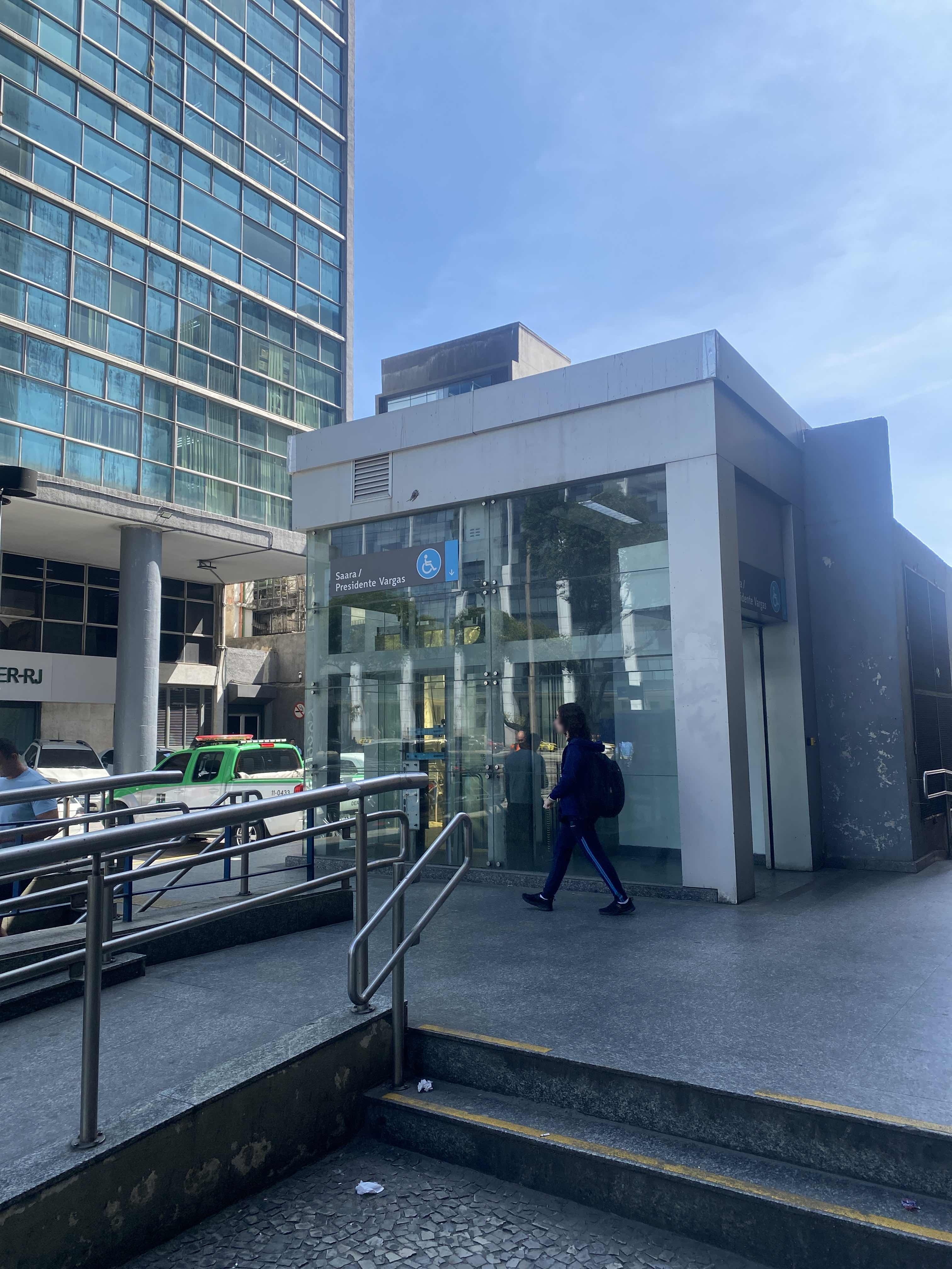 Taken by Anonymous
See Presidente Vargas station, Centro, on the map
Public transit to Presidente Vargas station in Centro
Looking for directions to Presidente Vargas in Centro, Brazil?
Download the Moovit App to find the current schedule and step-by-step directions for Bus, Metro or Train routes that pass through Presidente Vargas.
Looking for the nearest stops closest to Presidente Vargas ? Check out this list of closest stops to your destination: Metrô Presidente Vargas (Pista Central - Linhas Para Grande Tijuca); BRS 4 5 - Passos; Avenida Presidente Vargas 1023; BRS 4 - Tomé De Sousa; Campo De Santana (Pista Lateral - Sentido Zona Norte); BRS 5 - Tomé De Sousa; Camerino-Rosas Negras; Rua Camerino; Avenida Passos 69 Centro Rio De Janeiro - Rio De Janeiro 20051 Brasil; BRS 1 / 4 - Saara; Uruguaiana; Saara.
Bus: 100 - TRO1, 2114, 232, 2345, 249, 254, 472, 220, 415, 422, SN 422, 209, 275, 277, 292, SN 292, 770D, 771D, 709D, SN 232, 2342, 2343, 2344, 010, 014, 107, 114B, 133.Metro: L1, L4, L2.Train: RAMAL BELFORD ROXO, RAMAL DEODORO, RAMAL SANTA CRUZ.
We make riding on public transit to Presidente Vargas easy, which is why over 1.7 billion users, including users in Centro trust Moovit as the best app for public transit.
Use the app to navigate to popular places including to the airport, hospital, stadium, grocery store, mall, coffee shop, school, college, and university.
The station has the following entrances: D - Itamarati, C - Itamarati, B - Alfândega and A - Marechal Floriano
The first line to this station is L1, L4, at 5:12 AM, and the last line is L2 at 12:38 AM.
Avenida Presidente Vargas, Rio de Janeiro, Brazil
This station serves Metrô Rio’s lines
Popular routes from Presidente Vargas station, Centro
- Metrô Presidente Vargas (Pista Central - Linhas Para Grande Tijuca),
- BRS 4 5 - Passos,
- Avenida Presidente Vargas 1023,
- BRS 4 - Tomé De Sousa,
- Campo De Santana (Pista Lateral - Sentido Zona Norte),
- BRS 5 - Tomé De Sousa,
- Rua Camerino, 164,
- Avenida Passos 69 Centro Rio De Janeiro - Rio De Janeiro 20051 Brasil,
- BRS 1 / 4 - Saara
Bus stops near Presidente Vargas stop
- Camerino-Rosas Negras,
- Saara
Light Rail stations near Presidente Vargas station
- Uruguaiana
Metro station near Presidente Vargas station
- Rua Gonzaga Bastos, 352,
- Olaria,
- Rua Francisco Manoel, 15,
- Supermercado Costazul - Curicica,
- Avenida Brasil - Passarela Shop. Jd. Guadalupe,
- Prezunic - Praça Jauru,
- Praça Professora Virgínia Cidade, 13,
- Centro De Tradições Nordestinas - Entrada Norte,
- Avenida Ministro Edgard Romero, 871,
- Marina Barra Clube,
- Estrada Das Capoeiras, 490,
- Rocha Miranda,
- Ponto Final - Supercentro Carioca (Hospital Do Olho),
- Av. Luís Carlos Prestes | Fórum Regional Da Barra Da Tijuca,
- Estação De Trem Oswaldo Cruz,
- Édson Passos,
- Avenida Brasil - Passarela 30,
- Terminal Augusto Severo - Pavunense,
- Unicarioca,
- Transportes Flores
Popular public transit stations in Centro
Get around Centro by public transit!
Traveling around Centro has never been so easy. See step by step directions as you travel to any attraction, street or major public transit station. View bus and train schedules, arrival times, service alerts and detailed routes on a map, so you know exactly how to get to anywhere in Centro.
When traveling to any destination around Centro use Moovit's Live Directions with Get Off Notifications to know exactly where and how far to walk, how long to wait for your line, and how many stops are left. Moovit will alert you when it's time to get off — no need to constantly re-check whether yours is the next stop.
Wondering how to use public transit in Centro or how to pay for public transit in Centro? Moovit public transit app can help you navigate your way with public transit easily, and at minimum cost. It includes public transit fees, ticket prices, and costs. Looking for a map of Centro public transit lines? Moovit public transit app shows all public transit maps in Centro with all Bus, Train, Metro, Light Rail, Ferry, Cable Car, Gondola and Funicular routes and stops on an interactive map.
Rio de Janeiro Region has 8 transit type(s), including: Bus, Train, Metro, Light Rail, Ferry, Cable Car, Gondola and Funicular, operated by several transit agencies, including TrensRJ, Metrô Rio, VLT Carioca, Barcas Rio, BRT MOBI-Rio, Auto Viação Alpha, Auto Viação Tijuca, Gire Transportes, Transurb, Viação Nossa Senhora das Graças, Consórcio INTERSUL, Braso Lisboa, Caprichosa Auto Ônibus, Auto Viação Três Amigos and Rodoviária Âncora Matias