Directions to Pretty Works Charters (Islamorada) with public transportation
The following transit lines have routes that pass near Pretty Works Charters
 Bus: GREYHOUND US0720S.
How to get to Pretty Works Charters by bus?
Click on the bus route to see step by step directions with maps, line arrival times and updated time schedules.
From Exit 1/Florida City/S, Homestead
305 minFrom Orlando Florida, Homestead
289 minFrom Walmart (Walmart Florida City), Homestead
288 minFrom Florida City, Homestead
288 minFrom Florida City, FL, Homestead
290 minFrom Homestead, FL, Homestead
295 minFrom Florida Keys Outlet Marketplace, Homestead
295 minFrom SW 187th Ave / SW 344th St, Homestead
297 minFrom Florida Keys Outlet Center, Homestead
295 min
Bus stop near Pretty Works Charters in Islamorada
- Islamorada (Wendy'S), 3 min walk,VIEW
Bus lines to Pretty Works Charters in Islamorada
- GREYHOUND US0720S, Miami Intermodal Center,VIEW
What are the closest stations to Pretty Works Charters?
The closest stations to Pretty Works Charters are:
- Islamorada (Wendy'S) is 185 yards away, 3 min walk.
Which bus line stops near Pretty Works Charters?
GREYHOUND US0720S (Key West Airport)
What’s the nearest bus station to Pretty Works Charters in Islamorada?
The nearest bus station to Pretty Works Charters in Islamorada is Islamorada (Wendy'S). It’s a 3 min walk away.
What time is the first bus to Pretty Works Charters in Islamorada?
The GREYHOUND US0720S is the first bus that goes to Pretty Works Charters in Islamorada. It stops nearby at 7:20 AM.
What time is the last bus to Pretty Works Charters in Islamorada?
The GREYHOUND US0720S is the last bus that goes to Pretty Works Charters in Islamorada. It stops nearby at 7:25 PM.
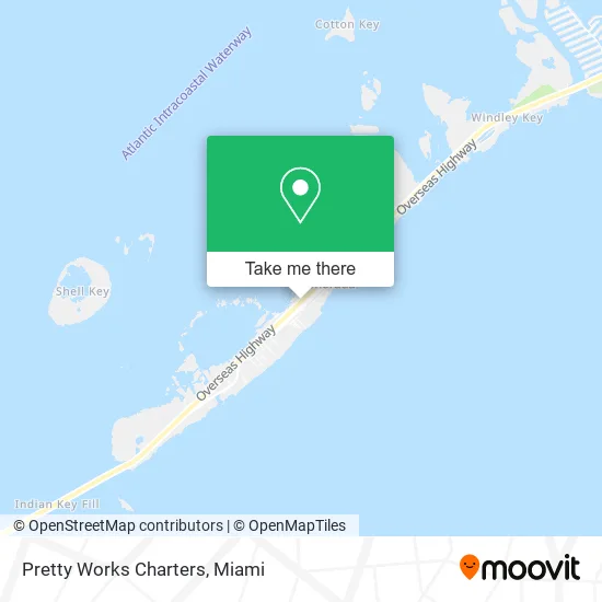
See Pretty Works Charters, Islamorada, on the map
Public Transit to Pretty Works Charters in Islamorada
Wondering how to get to Pretty Works Charters in Islamorada? Moovit helps you find the best way to get to Pretty Works Charters with step-by-step directions from the nearest public transit station.
Moovit provides free maps and live directions to help you navigate through your city. View schedules, routes, timetables, and find out how long does it take to get to Pretty Works Charters in real time.
Looking for the nearest stop or station to Pretty Works Charters? Check out this list of stops closest to your destination: Islamorada (Wendy'S).
Bus: GREYHOUND US0720S.
Want to see if there’s another route that gets you there at an earlier time? Moovit helps you find alternative routes or times. Get directions from and directions to Pretty Works Charters easily from the Moovit App or Website.
We make riding to Pretty Works Charters easy, which is why over 1.5 million users, including users in Islamorada, trust Moovit as the best app for public transit. You don’t need to download an individual bus app or train app, Moovit is your all-in-one transit app that helps you find the best bus time or train time available.
For information on prices of bus and train, costs and ride fares to Pretty Works Charters, please check the Moovit app.
Use the app to navigate to popular places including to the airport, hospital, stadium, grocery store, mall, coffee shop, school, college, and university.
Pretty Works Charters Address: Overseas Hwy Islamorada, FL 33036 street in Islamorada
- T Shirt City Sunglass City,
- Islamorada Boat Center,
- The Seven Sports Marine Family,
- Islander Girl Snorkel & Tours,
- Conference Center,
- Keys History & Discovery Center,
- The Oasis,
- Islander Watersports,
- Islamorada Village City Hall,
- State of Florida Juvenile Justice Department,
- Keys Medical Center,
- Vernis & Bowling of the Florida Keys, PA,
- Pribramsky & Company, CPA's,
- Islamorada City of,
- Islamorada Luxury Carts,
- Take Two Kitchen,
- Coastal Realty of the Florida Keys,
- Bluewater Tiki Bar,
- Blue Fin Inn,
- Key Lantern Motel
Places Near Pretty Works Charters (Islamorada)
- Miami Freedom Park, Miami,
- Aventura Mall, Miami,
- Hard Rock Stadium, Miami Gardens,
- Miami-Dade County Courthouse, Miami,
- Sawgrass mall ( FL ), Miami Beach,
- Aventura Mall, Miami Beach,
- Dolphin Mall Bus, Miami,
- Bayside Marketplace, Miami,
- Sawgrass Mall, Miami,
- Wynwood, Miami,
- Zoo Miami, Miami,
- Little Havana, Miami,
- Miami VA Hospital, Miami,
- Dolphin Mall, Miami,
- Keiser University Flagship Campus, West Palm Beach,
- Richard E. Gerstein Justice Building, Miami,
- Brickell City Centre, Miami,
- Marlins Park, Miami,
- Miami Design District, Miami,
- Port of Miami Cruise Terminal, Miami
How to get to popular places in Miami with public transit
Get around Islamorada by public transit!
Traveling around Islamorada has never been so easy. See step by step directions as you travel to any attraction, street or major public transit station. View bus and train schedules, arrival times, service alerts and detailed routes on a map, so you know exactly how to get to anywhere in Islamorada.
When traveling to any destination around Islamorada use Moovit's Live Directions with Get Off Notifications to know exactly where and how far to walk, how long to wait for your line, and how many stops are left. Moovit will alert you when it's time to get off — no need to constantly re-check whether yours is the next stop.
Wondering how to use public transit in Islamorada or how to pay for public transit in Islamorada? Moovit public transit app can help you navigate your way with public transit easily, and at minimum cost. It includes public transit fees, ticket prices, and costs. Looking for a map of Islamorada public transit lines? Moovit public transit app shows all public transit maps in Islamorada with all Bus, Train, Light Rail and Ferry routes and stops on an interactive map.
Miami has 4 transit type(s), including: Bus, Train, Light Rail and Ferry, operated by several transit agencies, including Broward County Transit, Miami-Dade Transit, Metrorail, Palm Tran, Tri-Rail, Brightline, MARTY, City of Homestead Trolley, Key West Transit, Treasure Coast Connector, GoLine IRT, Amtrak, Greyhound-us, FlixBus-us and Aventura Express Shuttle Bus