How to get to Prochef El Tee by bus?
Click on the bus route to see step by step directions with maps, line arrival times and updated time schedules.
From The Haul - Haulover Naturist Beach (Lifeguard Tower #14), Miami Beach
58 minFrom Florida International University-Biscayne Bay (FIU-Biscayne Bay), Miami
61 minFrom Jw Marriott Miami Turnberry Resort & Spa, Miami
44 minFrom The Diplomat Beach Resort, Hollywood
82 minFrom 79th street and nw 17th ave., Miami
68 minFrom Florida Memorial University, Miami
58 minFrom Downtown Hollywood, Hollywood
71 minFrom NW 79th St / NW 7th Ave, Miami
44 minFrom Le Jeune Rd / E 49th St, Hialeah
70 minFrom Target, Miami
58 min
Bus stops near Prochef El Tee in Miami
Bus lines to Prochef El Tee in Miami
What are the closest stations to Prochef El Tee?
The closest stations to Prochef El Tee are:
- Nw 2 Av@Nw 177 St is 817 yards away, 10 min walk.
- Nw 183 St & Nw Miami Ct is 840 yards away, 10 min walk.
Which bus lines stop near Prochef El Tee?
These bus lines stop near Prochef El Tee: 17, 183, 77.
What’s the nearest bus station to Prochef El Tee in Miami?
The nearest bus stations to Prochef El Tee in Miami are Nw 2 Av@Nw 177 St and Nw 183 St & Nw Miami Ct. The closest one is a 10 min walk away.
What time is the first bus to Prochef El Tee in Miami?
The 77 is the first bus that goes to Prochef El Tee in Miami. It stops nearby at 3:27 AM.
What time is the last bus to Prochef El Tee in Miami?
The 77 is the last bus that goes to Prochef El Tee in Miami. It stops nearby at 3:03 AM.
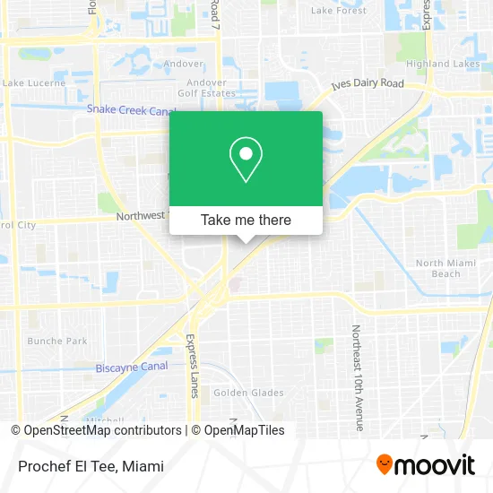
See Prochef El Tee, Miami, on the map
Public Transit to Prochef El Tee in Miami
Wondering how to get to Prochef El Tee in Miami? Moovit helps you find the best way to get to Prochef El Tee with step-by-step directions from the nearest public transit station.
Moovit provides free maps and live directions to help you navigate through your city. View schedules, routes, timetables, and find out how long does it take to get to Prochef El Tee in real time.
Looking for the nearest stop or station to Prochef El Tee? Check out this list of stops closest to your destination: Nw 2 Av@Nw 177 St; Nw 183 St & Nw Miami Ct.
Bus: 17, 183, 77, 18, NMBEACD.
Want to see if there’s another route that gets you there at an earlier time? Moovit helps you find alternative routes or times. Get directions from and directions to Prochef El Tee easily from the Moovit App or Website.
We make riding to Prochef El Tee easy, which is why over 1.5 million users, including users in Miami, trust Moovit as the best app for public transit. You don’t need to download an individual bus app or train app, Moovit is your all-in-one transit app that helps you find the best bus time or train time available.
For information on prices of bus, costs and ride fares to Prochef El Tee, please check the Moovit app.
Use the app to navigate to popular places including to the airport, hospital, stadium, grocery store, mall, coffee shop, school, college, and university.
Prochef El Tee Address: 17707 NW Miami Ct Miami, FL 33169 street in Miami
- Relentless Capital,
- X L Logistics and Transportation,
- Hachi Bachi Soul Food,
- Triple Gee Truck Repair,
- Affordable Auto Collision,
- Floorage Products,
- Econo Equipment,
- Miami Snacks & Beverages,
- Miami Truck Parking,
- Che Grill,
- GP Tires and Auto Care,
- MFH Sheet Metal Fabricators,
- Nobel Relocation,
- Yahya Trading Corporation,
- Becton Dickinson,
- General Caulking,
- Captiva Containers,
- Brastile,
- Norman & Jean Reach Park,
- Best Movers in Florida
Places Near Prochef El Tee (Miami)
- Port of Miami Cruise Terminal, Miami,
- Zoo Miami, Miami,
- Brickell City Centre, Miami,
- Keiser University Flagship Campus, West Palm Beach,
- Dolphin Mall, Miami,
- 1351 NW 12th St, Miami,
- Wynwood, Miami,
- Marlins Park, Miami,
- Dolphin Mall Bus, Miami,
- Aventura Mall, Miami Beach,
- Richard E. Gerstein Justice Building, Miami,
- Miami Freedom Park, Miami,
- Little Havana, Miami,
- Aventura Mall, Miami,
- Miami Design District, Miami,
- Sawgrass mall ( FL ), Miami Beach,
- Hard Rock Stadium, Miami Gardens,
- Sawgrass Mall, Miami,
- Miami-Dade County Courthouse, Miami,
- Bayside Marketplace, Miami
How to get to popular places in Miami with public transit
Get around Miami by public transit!
Traveling around Miami has never been so easy. See step by step directions as you travel to any attraction, street or major public transit station. View bus and train schedules, arrival times, service alerts and detailed routes on a map, so you know exactly how to get to anywhere in Miami.
When traveling to any destination around Miami use Moovit's Live Directions with Get Off Notifications to know exactly where and how far to walk, how long to wait for your line, and how many stops are left. Moovit will alert you when it's time to get off — no need to constantly re-check whether yours is the next stop.
Wondering how to use public transit in Miami or how to pay for public transit in Miami? Moovit public transit app can help you navigate your way with public transit easily, and at minimum cost. It includes public transit fees, ticket prices, and costs. Looking for a map of Miami public transit lines? Moovit public transit app shows all public transit maps in Miami with all Bus, Train, Light Rail and Ferry routes and stops on an interactive map.
Miami has 4 transit type(s), including: Bus, Train, Light Rail and Ferry, operated by several transit agencies, including Broward County Transit, Miami-Dade Transit, Metrorail, Palm Tran, Tri-Rail, Brightline, MARTY, City of Homestead Trolley, Key West Transit, Treasure Coast Connector, GoLine IRT, Amtrak, Greyhound-us, FlixBus-us and Aventura Express Shuttle Bus