How to get to Project Nrc by bus?
Click on the bus route to see step by step directions with maps, line arrival times and updated time schedules.
From Ciputra World Surabaya, Sambikerep
27 minFrom Institut Teknologi Sepuluh Nopember (ITS), Gebang Putih
53 minFrom Pakuwon City Mall, Keputih
57 minFrom Unitomo Surabaya, Nginden Jangkungan
34 minFrom Museum Angkut, Batu - Malang, Surabaya
48 minFrom UIN Sunan Ampel Surabaya, Mojo
39 minFrom Jl tropodo 1 waru, Sidoarjo
82 minFrom Kantor Imigrasi Kelas I Khusus Surabaya, Sidoarjo
77 minFrom Jalan Raya Wisma Tropodo, Sidoarjo
68 min
Bus stops near Project Nrc in Surabaya
Train station near Project Nrc in Surabaya
- Stasiun Tandes, 33 min walk,VIEW
Bus lines to Project Nrc in Surabaya
What are the closest stations to Project Nrc?
The closest stations to Project Nrc are:
- Halte Putat Gede 2 is 386 meters away, 6 min walk.
- Halte Putat Gede 1 is 399 meters away, 6 min walk.
- Halte Taman Makam Pahlawan 1 is 665 meters away, 10 min walk.
- Stasiun Tandes is 2531 meters away, 33 min walk.
Which bus lines stop near Project Nrc?
These bus lines stop near Project Nrc: DA, FD9, R2.
What’s the nearest bus station to Project Nrc in Surabaya?
The nearest bus stations to Project Nrc in Surabaya are Halte Putat Gede 2 and Halte Putat Gede 1. The closest one is a 6 min walk away.
What time is the first train to Project Nrc in Surabaya?
The A is the first train that goes to Project Nrc in Surabaya. It stops nearby at 3:08 AM.
What time is the last train to Project Nrc in Surabaya?
The A is the last train that goes to Project Nrc in Surabaya. It stops nearby at 5:12 PM.
What time is the first bus to Project Nrc in Surabaya?
The R2 is the first bus that goes to Project Nrc in Surabaya. It stops nearby at 5:08 AM.
What time is the last bus to Project Nrc in Surabaya?
The R2 is the last bus that goes to Project Nrc in Surabaya. It stops nearby at 10:30 PM.
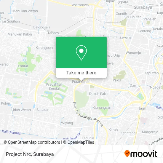
See Project Nrc, Surabaya, on the map
Public Transit to Project Nrc in Surabaya
Wondering how to get to Project Nrc in Surabaya? Moovit helps you find the best way to get to Project Nrc with step-by-step directions from the nearest public transit station.
Moovit provides free maps and live directions to help you navigate through your city. View schedules, routes, timetables, and find out how long does it take to get to Project Nrc in real time.
Looking for the nearest stop or station to Project Nrc? Check out this list of stops closest to your destination: Halte Putat Gede 2; Halte Putat Gede 1; Halte Taman Makam Pahlawan 1; Stasiun Tandes.
Bus: DA, FD9, R2, TV, P7.Train: A.
Want to see if there’s another route that gets you there at an earlier time? Moovit helps you find alternative routes or times. Get directions from and directions to Project Nrc easily from the Moovit App or Website.
We make riding to Project Nrc easy, which is why over 1.5 million users, including users in Surabaya, trust Moovit as the best app for public transit. You don’t need to download an individual bus app or train app, Moovit is your all-in-one transit app that helps you find the best bus time or train time available.
For information on prices of bus, costs and ride fares to Project Nrc, please check the Moovit app.
Use the app to navigate to popular places including to the airport, hospital, stadium, grocery store, mall, coffee shop, school, college, and university.
Project Nrc Address: Jalan H R Muhammad Surabaya 60189 street in Surabaya
- Serba Antik,
- Holistik Modern,
- Jalan Tol Sidoarjo-Surabaya,
- B Clinic Sliming & Aes,
- Surabaya School of Photography,
- SD Mdc,
- Graha Family blok A B C,
- Philips Service Center,
- Pappa' Steamboat Darmo,
- Depot Hongkong,
- Pasar Banyu Urip,
- SPBU Shell,
- Oyo 1093 Hotel Griyo Avi,
- Pujasera Avi,
- Eratex Djaja.Pt,
- Toko Surya Indah,
- Ggp Sola Gratia,
- G-Center School Of Creative Hip Hop Adult,
- Harris Hotel & Conventions Bundaran Satelit Surabaya,
- Putat Gede Timur I
Places Near Project Nrc (Surabaya)
- Bis Damri P1 (Perak-Bungurasih PP), Krembangan Selatan,
- Grand City Mall, Surabaya, Gubeng,
- Bg Junction, Bubutan,
- Kebun Binatang Surabaya, Darmo,
- Halte Bis Royal Plaza, Wonokromo,
- Universitas Negeri Surabaya (UNESA), Lidah Wetan,
- Kantor Regional II BKN Surabaya, Sidoarjo,
- BG Junction Mall, Bubutan,
- PTC, Surabaya,
- Smoking Room Terminal Domestik Juanda International Airport, Sidoarjo,
- Pakuwon Mall, Lontar,
- Pelabuhan Tanjung Perak,
- Galaxy Mall Surabaya, Mulyorejo,
- Stadion gelora bung tomo(surabaya,jawa timur), Surabaya,
- GBT (Gelora Bung Tomo) Surabaya, Benowo,
- Masjid Al-Akbar, Surabaya,
- UPN Veteran Jawa Timur, Gunung Anyar,
- Graha Pena, Ketintang,
- Taman Harmoni, Keputih,
- Pakuwon City Mall, Keputih
How to get to popular places in Surabaya with public transit
Get around Surabaya by public transit!
Traveling around Surabaya has never been so easy. See step by step directions as you travel to any attraction, street or major public transit station. View bus and train schedules, arrival times, service alerts and detailed routes on a map, so you know exactly how to get to anywhere in Surabaya.
When traveling to any destination around Surabaya use Moovit's Live Directions with Get Off Notifications to know exactly where and how far to walk, how long to wait for your line, and how many stops are left. Moovit will alert you when it's time to get off — no need to constantly re-check whether yours is the next stop.
Wondering how to use public transit in Surabaya or how to pay for public transit in Surabaya? Moovit public transit app can help you navigate your way with public transit easily, and at minimum cost. It includes public transit fees, ticket prices, and costs. Looking for a map of Surabaya public transit lines? Moovit public transit app shows all public transit maps in Surabaya with all Bus and Train routes and stops on an interactive map.
Surabaya has 2 transit type(s), including: Bus and Train, operated by several transit agencies, including KAI Commuter, Angkutan Surabaya, Trans Semanggi Suroboyo, Suroboyo Bus, Feeder Wira Wiri Suroboyo, Trans Jatim and DAMRI