How to get to Prometric Test Center by bus?
Click on the bus route to see step by step directions with maps, line arrival times and updated time schedules.
Bus stop near Prometric Test Center in Glastonbury
- Western Blvd @ Gateway Medical Office Park, 1 min walk,VIEW
Bus lines to Prometric Test Center in Glastonbury
- 95, 95 - Hartford Via Main St,VIEW
What are the closest stations to Prometric Test Center?
The closest stations to Prometric Test Center are:
- Western Blvd @ Gateway Medical Office Park is 15 yards away, 1 min walk.
Which bus lines stop near Prometric Test Center?
These bus lines stop near Prometric Test Center: 904/914, 95.
What’s the nearest bus station to Prometric Test Center in Glastonbury?
The nearest bus station to Prometric Test Center in Glastonbury is Western Blvd @ Gateway Medical Office Park. It’s a 1 min walk away.
What time is the first bus to Prometric Test Center in Glastonbury?
The 95 is the first bus that goes to Prometric Test Center in Glastonbury. It stops nearby at 6:43 AM.
What time is the last bus to Prometric Test Center in Glastonbury?
The 95 is the last bus that goes to Prometric Test Center in Glastonbury. It stops nearby at 5:17 PM.
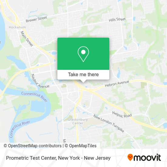
See Prometric Test Center, Glastonbury, on the map
Public Transit to Prometric Test Center in Glastonbury
Wondering how to get to Prometric Test Center in Glastonbury? Moovit helps you find the best way to get to Prometric Test Center with step-by-step directions from the nearest public transit station.
Moovit provides free maps and live directions to help you navigate through your city. View schedules, routes, timetables, and find out how long does it take to get to Prometric Test Center in real time.
Looking for the nearest stop or station to Prometric Test Center? Check out this list of stops closest to your destination: Western Blvd @ Gateway Medical Office Park.
Bus: 904/914, 95.
Want to see if there’s another route that gets you there at an earlier time? Moovit helps you find alternative routes or times. Get directions from and directions to Prometric Test Center easily from the Moovit App or Website.
We make riding to Prometric Test Center easy, which is why over 1.5 million users, including users in Glastonbury, trust Moovit as the best app for public transit. You don’t need to download an individual bus app or train app, Moovit is your all-in-one transit app that helps you find the best bus time or train time available.
For information on prices of bus and train, costs and ride fares to Prometric Test Center, please check the Moovit app.
Use the app to navigate to popular places including to the airport, hospital, stadium, grocery store, mall, coffee shop, school, college, and university.
Prometric Test Center Address: 655 Winding Brook Dr street in Glastonbury
- Tsunami Tsolutions,
- Wooster Corthell Wealth Management, Inc.,
- Chief Of Staff, Llc,
- Gateway Financial Partners,
- Derek Mazzarella, Cfp, Lpl Financial Planner, Gateway Financial Partners,
- Cowww Software,
- Jeffrey Haines Of Gateway Financial Partners,
- Selective Insurance Information Technology Office,
- Andrew Aubrey Of Gateway Financial Partners,
- Jairo C. Lemos Of Gateway Financial Partners,
- Wsp Usa,
- Solinsky Eyecare Llc,
- Bonfire Productions,
- Rubi Associates,
- Cronin,
- Anita Petruzzelli,
- Connecticut Children's Specialty Care Center - Glastonbury,
- Hartford Eye Physicians,
- Kelser Corporation,
- Fred Astaire Dance Studios
Places Near Prometric Test Center (Glastonbury)
- Queens Center Mall, Queens,
- Bellevue Hospital, Manhattan,
- Mountainside Hospital, Glen Ridge,
- 3 Stone St, Manhattan,
- Pier 83, Manhattan,
- 911 Memorial, Manhattan,
- 1 Police Plaza, Manhattan,
- 26 Federal Plaza, Manhattan,
- San Gennaro Feast, Manhattan,
- Times Square, Manhattan,
- Chinatown, Manhattan,
- SoHo, Manhattan,
- Rockefeller Center, Manhattan,
- Hudson Yards, Manhattan,
- Katz's Deli, Manhattan,
- Wall Street, Manhattan,
- qqqq, Manhattan,
- 66 John Street, Manhattan,
- 376 Hudson Street, Manhattan,
- 111 Centre New York City Supreme Court, Manhattan
How to get to popular places in New York - New Jersey with public transit
Get around Glastonbury by public transit!
Traveling around Glastonbury has never been so easy. See step by step directions as you travel to any attraction, street or major public transit station. View bus and train schedules, arrival times, service alerts and detailed routes on a map, so you know exactly how to get to anywhere in Glastonbury.
When traveling to any destination around Glastonbury use Moovit's Live Directions with Get Off Notifications to know exactly where and how far to walk, how long to wait for your line, and how many stops are left. Moovit will alert you when it's time to get off — no need to constantly re-check whether yours is the next stop.
Wondering how to use public transit in Glastonbury or how to pay for public transit in Glastonbury? Moovit public transit app can help you navigate your way with public transit easily, and at minimum cost. It includes public transit fees, ticket prices, and costs. Looking for a map of Glastonbury public transit lines? Moovit public transit app shows all public transit maps in Glastonbury with all Bus, Train, Subway, Light Rail, Ferry and Cable Car routes and stops on an interactive map.
New York - New Jersey has 6 transit type(s), including: Bus, Train, Subway, Light Rail, Ferry and Cable Car, operated by several transit agencies, including MTA Subway, Metro-North Railroad, LIRR, PATH, MTA New York City Transit - Express routes, MTA Bus, NJ Transit, NYC Ferry, NICE bus, Bee-Line Bus, NJ Transit Rail, Norwalk Transit District, Hartford Line, River Valley Transit and HART