How to get to Protocall Towing & Recovery by bus?
Click on the bus route to see step by step directions with maps, line arrival times and updated time schedules.
From Glenarden, Maryland, Prince George's County
101 minFrom Copper Canyon Grill, Prince George's County
100 minFrom Glenn Dale, MD, Prince George's County
90 minFrom 2U, Inc., Prince George's County
69 minFrom New Carrollton, Maryland, Prince George's County
90 minFrom Weis Markets, Prince George's County
63 minFrom Golden Corral, Prince George's County
84 minFrom Giant Food, Prince George's County
74 minFrom Lanham, MD, Prince George's County
57 min
Which bus lines stop near Protocall Towing & Recovery?
These bus lines stop near Protocall Towing & Recovery: B24, C29.
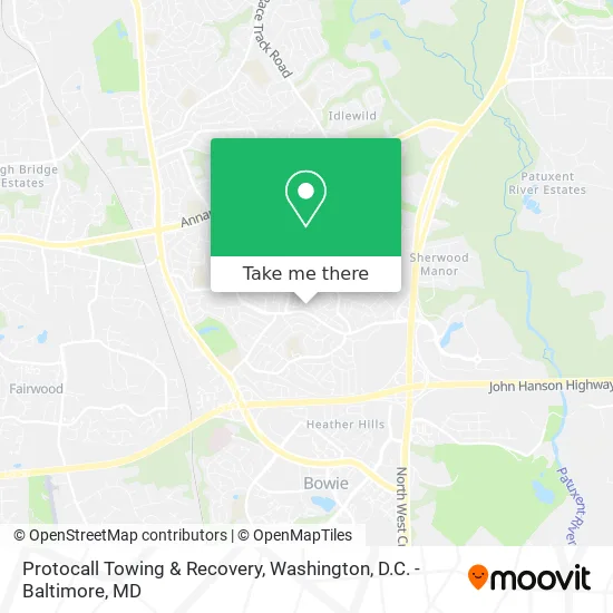
See Protocall Towing & Recovery, Prince George's County, on the map
Public Transit to Protocall Towing & Recovery in Prince George's County
Wondering how to get to Protocall Towing & Recovery in Prince George's County? Moovit helps you find the best way to get to Protocall Towing & Recovery with step-by-step directions from the nearest public transit station.
Moovit provides free maps and live directions to help you navigate through your city. View schedules, routes, timetables, and find out how long does it take to get to Protocall Towing & Recovery in real time.
Bus: B24, C29.
Want to see if there’s another route that gets you there at an earlier time? Moovit helps you find alternative routes or times. Get directions from and directions to Protocall Towing & Recovery easily from the Moovit App or Website.
We make riding to Protocall Towing & Recovery easy, which is why over 1.5 million users, including users in Prince George's County, trust Moovit as the best app for public transit. You don’t need to download an individual bus app or train app, Moovit is your all-in-one transit app that helps you find the best bus time or train time available.
For information on prices of bus and train, costs and ride fares to Protocall Towing & Recovery, please check the Moovit app.
Use the app to navigate to popular places including to the airport, hospital, stadium, grocery store, mall, coffee shop, school, college, and university.
Protocall Towing & Recovery Address: Bunting Ln Bowie, MD 20715 street in Prince George's County
- Oaktree Consulting Group,
- Ce Towing,
- Chawla R MD,
- Render Humble Cleaning Services,
- Al's Odd Jobs,
- BTL Heating & Cooling,
- J & J Auto Body,
- Bowie, Maryland,
- Ignacio Landscaping,
- Brazzers,
- Elijah Kircher,
- BLVCK Cow,
- Renaissance Classical Tutorial,
- Bowie High School Annex,
- Benjamin Tasker Middle School,
- Independent Security Advisors,
- Rachel Anderson's,
- RT-197,
- T Section Bowie MD,
- Harris Teeter
Places Near Protocall Towing & Recovery (Prince George's County)
- Amazon Hq2, Arlington County,
- Pennsylvania Ave NW (3rd st and pennsylvania), Washington,
- Georgetown, Washington,
- Westfield Montgomery Mall, Montgomery County,
- Capital One Arena, Washington,
- National Mall, Washington,
- Washington National Cathedral, Washington,
- Marriott Marquis Washington, DC, Washington,
- National Zoo, Washington,
- Warner Theatre, Washington,
- M&T Bank Stadium, Baltimore,
- Rock Creek Tennis Center, Washington,
- National Museum of African American History and Culture, Washington,
- Museum Of The Bible, Washington,
- The Anthem, Washington,
- Sibley Memorial Hospital, Washington,
- Camden Yards, Baltimore,
- Washington DC VA Medical Center, Washington,
- PG Mall, Prince George's County,
- Basilica of the National Shrine, Washington
How to get to popular places in Washington, D.C. - Baltimore, MD with public transit
Get around Prince George's County by public transit!
Traveling around Prince George's County has never been so easy. See step by step directions as you travel to any attraction, street or major public transit station. View bus and train schedules, arrival times, service alerts and detailed routes on a map, so you know exactly how to get to anywhere in Prince George's County.
When traveling to any destination around Prince George's County use Moovit's Live Directions with Get Off Notifications to know exactly where and how far to walk, how long to wait for your line, and how many stops are left. Moovit will alert you when it's time to get off — no need to constantly re-check whether yours is the next stop.
Wondering how to use public transit in Prince George's County or how to pay for public transit in Prince George's County? Moovit public transit app can help you navigate your way with public transit easily, and at minimum cost. It includes public transit fees, ticket prices, and costs. Looking for a map of Prince George's County public transit lines? Moovit public transit app shows all public transit maps in Prince George's County with all Bus, Train, Metro, Light Rail and Ferry routes and stops on an interactive map.
Washington, D.C. - Baltimore, MD has 5 transit type(s), including: Bus, Train, Metro, Light Rail and Ferry, operated by several transit agencies, including WMATA, Montgomery County Ride On, Fairfax Connector, TheBus, PRTC, DASH - Alexandria, Arlington Transit (ART), RTA of Central Maryland, MDOT MTA, MDOT MTA Light RailLink, MDOT MTA Commuter Bus, MDOT MTA Local Bus, FXBGO!, Virginia Railway Express (VRE) and MARC