How to get to Public Works & Environmental Service by bus?
Click on the bus route to see step by step directions with maps, line arrival times and updated time schedules.
From Northern Virginia Community College - Annandale Campus, Fairfax County
47 minFrom Chantilly, VA, Fairfax County
28 minFrom Burke, VA, Fairfax County
111 minFrom Inova employee Shuttle, Fairfax County
44 minFrom Navy Federal Credit Union, Fairfax County
85 minFrom King's Dominion, Fairfax County
40 minFrom George Mason University, Fairfax County
31 minFrom Inova Fairfax Hospital North Tower Building, Fairfax County
45 minFrom Dulles Expo Center, Fairfax County
52 minFrom Centreville, VA, Fairfax County
31 min
Bus stops near Public Works & Environmental Service in Fairfax County
Bus lines to Public Works & Environmental Service in Fairfax County
What are the closest stations to Public Works & Environmental Service?
The closest stations to Public Works & Environmental Service are:
- Government Center Pkwy+Monument Dr is 242 yards away, 3 min walk.
- Government Center Pkwy And Runabout La is 366 yards away, 5 min walk.
Which bus lines stop near Public Works & Environmental Service?
These bus lines stop near Public Works & Environmental Service: 610, 670, F60.
What’s the nearest bus station to Public Works & Environmental Service in Fairfax County?
The nearest bus station to Public Works & Environmental Service in Fairfax County is Government Center Pkwy+Monument Dr. It’s a 3 min walk away.
What time is the first bus to Public Works & Environmental Service in Fairfax County?
The F60 is the first bus that goes to Public Works & Environmental Service in Fairfax County. It stops nearby at 5:04 AM.
What time is the last bus to Public Works & Environmental Service in Fairfax County?
The F60 is the last bus that goes to Public Works & Environmental Service in Fairfax County. It stops nearby at 10:47 PM.
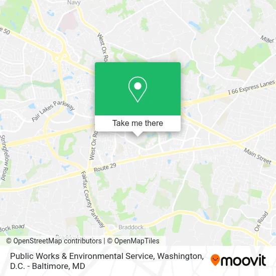
See Public Works & Environmental Service, Fairfax County, on the map
Public Transit to Public Works & Environmental Service in Fairfax County
Wondering how to get to Public Works & Environmental Service in Fairfax County? Moovit helps you find the best way to get to Public Works & Environmental Service with step-by-step directions from the nearest public transit station.
Moovit provides free maps and live directions to help you navigate through your city. View schedules, routes, timetables, and find out how long does it take to get to Public Works & Environmental Service in real time.
Looking for the nearest stop or station to Public Works & Environmental Service? Check out this list of stops closest to your destination: Government Center Pkwy+Monument Dr; Government Center Pkwy And Runabout La.
Bus: 610, 670, F60, F61, 615.
Want to see if there’s another route that gets you there at an earlier time? Moovit helps you find alternative routes or times. Get directions from and directions to Public Works & Environmental Service easily from the Moovit App or Website.
We make riding to Public Works & Environmental Service easy, which is why over 1.7 million users, including users in Fairfax County, trust Moovit as the best app for public transit. You don’t need to download an individual bus app or train app, Moovit is your all-in-one transit app that helps you find the best bus time or train time available.
For information on prices of bus, costs and ride fares to Public Works & Environmental Service, please check the Moovit app.
Use the app to navigate to popular places including to the airport, hospital, stadium, grocery store, mall, coffee shop, school, college, and university.
Public Works & Environmental Service Address: 12000 Government Center Pkwy street in Fairfax County
- Fairfax County Government Center,
- Fairfax County Government Center Park & Ride,
- South Moon under,
- Warby Parker,
- Sweetgreen,
- Aaa Fairfax,
- Amazon Counter-AAA Fairfax Retail,
- Color Me Mine Fairfax,
- The Boutcher Group,
- Corepower Yoga - Fairfax Corner,
- Potbelly,
- Fairfax County Government,
- Cinemark,
- Neighbor Monthly Parking,
- Church Of the Apostles,
- Go! Games & Toys,
- Dunkin' Donuts,
- Trupti's Craft: Framed Paper Quilling Art,
- Drink Nova,
- R2 Mission Support
Places Near Public Works & Environmental Service (Fairfax County)
- Marriott Marquis Washington, DC, Washington,
- Camden Yards, Baltimore,
- Georgetown, Washington,
- PG Mall, Prince George's County,
- Westfield Montgomery Mall, Montgomery County,
- Pennsylvania Ave NW (3rd st and pennsylvania), Washington,
- Sibley Memorial Hospital, Washington,
- M&T Bank Stadium, Baltimore,
- Museum Of The Bible, Washington,
- Rock Creek Tennis Center, Washington,
- National Museum of African American History and Culture, Washington,
- Basilica of the National Shrine, Washington,
- The Anthem, Washington,
- Amazon Hq2, Arlington County,
- Warner Theatre, Washington,
- Capital One Arena, Washington,
- Washington National Cathedral, Washington,
- Washington DC VA Medical Center, Washington,
- National Zoo, Washington,
- National Theatre, Washington
How to get to popular places in Washington, D.C. - Baltimore, MD with public transit
Get around Fairfax County by public transit!
Traveling around Fairfax County has never been so easy. See step by step directions as you travel to any attraction, street or major public transit station. View bus and train schedules, arrival times, service alerts and detailed routes on a map, so you know exactly how to get to anywhere in Fairfax County.
When traveling to any destination around Fairfax County use Moovit's Live Directions with Get Off Notifications to know exactly where and how far to walk, how long to wait for your line, and how many stops are left. Moovit will alert you when it's time to get off — no need to constantly re-check whether yours is the next stop.
Wondering how to use public transit in Fairfax County or how to pay for public transit in Fairfax County? Moovit public transit app can help you navigate your way with public transit easily, and at minimum cost. It includes public transit fees, ticket prices, and costs. Looking for a map of Fairfax County public transit lines? Moovit public transit app shows all public transit maps in Fairfax County with all Bus, Train, Metro, Light Rail and Ferry routes and stops on an interactive map.
Washington, D.C. - Baltimore, MD has 5 transit type(s), including: Bus, Train, Metro, Light Rail and Ferry, operated by several transit agencies, including WMATA, Montgomery County Ride On, Fairfax Connector, TheBus, PRTC, DASH - Alexandria, Arlington Transit (ART), RTA of Central Maryland, MDOT MTA, MDOT MTA Light RailLink, MDOT MTA Commuter Bus, MDOT MTA Local Bus, FXBGO!, Virginia Railway Express (VRE) and MARC