How to get to Punto Limpio de Esquivias by bus?
Click on the bus route to see step by step directions with maps, line arrival times and updated time schedules.
Bus stop near Punto Limpio de Esquivias
- Pza. Mayor - Esquivias, 14 min walk,VIEW
What are the closest stations to Punto Limpio de Esquivias?
The closest stations to Punto Limpio de Esquivias are:
- Pza. Mayor - Esquivias is 953 meters away, 14 min walk.
Which bus line stops near Punto Limpio de Esquivias?
VAC-023
What’s the nearest bus station to Punto Limpio de Esquivias?
The nearest bus station to Punto Limpio de Esquivias is Pza. Mayor - Esquivias. It’s a 14 min walk away.
What time is the first bus to Punto Limpio de Esquivias?
The VAC-023 is the first bus that goes to Punto Limpio de Esquivias. It stops nearby at 5:20 AM.
What time is the last bus to Punto Limpio de Esquivias?
The VAC-023 is the last bus that goes to Punto Limpio de Esquivias. It stops nearby at 9:20 PM.
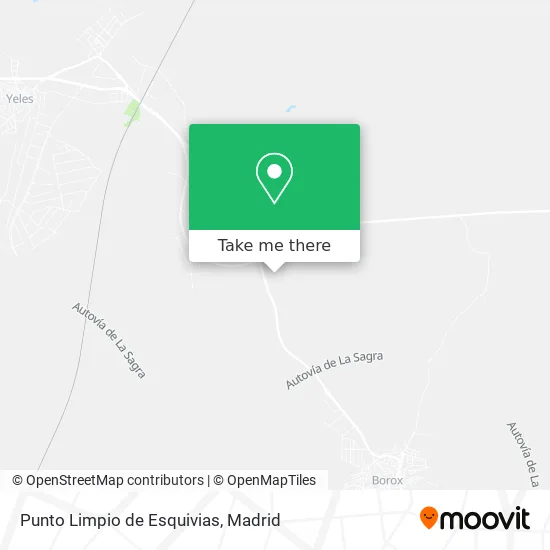
See Punto Limpio de Esquivias on the map
Public Transportation to Punto Limpio de Esquivias
Wondering how to get to Punto Limpio de Esquivias? Moovit helps you find the best way to get to Punto Limpio de Esquivias with step-by-step directions from the nearest public transit station.
Moovit provides free maps and live directions to help you navigate through your city. View schedules, routes, timetables, and find out how long does it take to get to Punto Limpio de Esquivias in real time.
Looking for the nearest stop or station to Punto Limpio de Esquivias? Check out this list of stops closest to your destination: Pza. Mayor - Esquivias.
Bus: VAC-023, VAC023, VCM-629.
Want to see if there’s another route that gets you there at an earlier time? Moovit helps you find alternative routes or times. Get directions from and directions to Punto Limpio de Esquivias easily from the Moovit App or Website.
We make riding to Punto Limpio de Esquivias easy, which is why over 1.5 million users, including users in Esquivias, trust Moovit as the best app for public transit. You don’t need to download an individual bus app or train app, Moovit is your all-in-one transit app that helps you find the best bus time or train time available.
For information on prices of bus and train, costs and ride fares to Punto Limpio de Esquivias, please check the Moovit app.
Use the app to navigate to popular places including to the airport, hospital, stadium, grocery store, mall, coffee shop, school, college, and university.
Location: Esquivias, Madrid
- Polígono Industrial La Serna,
- Carretera Esquivias a Borox,
- Calle Ocaña 112,
- Calle Ocaña, 58,
- Calle Guadalajara 34,
- Construcciones Pedro Vazquez Garcia,
- Calle Ocaña 1,
- Díaz Olivares Lopez,
- Decoración en Escayola,
- Amazon Counter-Super Coaliment Express,
- Supermercado Coaliment,
- Aislamientos y Cubiertas Rc 2006,
- Calle Juan Ramón Jiménez 3,
- Udaco,
- Calle Valdelafuente 5,
- Piscina Municipal De Esquivias,
- Agraria de la Sagra,
- Residencial El Pajar del Rey,
- Taxi Pedro Gutierrez,
- Ganoderma y Espirulina con Dxn en España
Places Near Punto Limpio de Esquivias
- Centro Comercial Islazul, Área Metropolitana De Madrid Y Corredor Del Henares,
- Rastro De Madrid, Área Metropolitana De Madrid Y Corredor Del Henares,
- Hospital Universitario Ramón y Cajal, Madrid,
- Estadio Wanda Metropolitano, Área Metropolitana De Madrid Y Corredor Del Henares,
- Centro Comercial La Vaguada, Área Metropolitana De Madrid Y Corredor Del Henares,
- Mercadillo de Majadahonda, Majadahonda,
- Sala La Riviera, Madrid,
- Centro Comercial Oasiz Madrid, Área Metropolitana De Madrid Y Corredor Del Henares,
- Wizink Center, Madrid,
- Tres Aguas, Alcorcón,
- Nassica, Área Metropolitana De Madrid Y Corredor Del Henares,
- Centro Comercial La Gavia, Área Metropolitana De Madrid Y Corredor Del Henares,
- Estacion de Chamartin, Madrid,
- Hospital Clínico Universitario San Carlos, Madrid,
- Mendez Alvaro, Madrid,
- Plenilunio, Área Metropolitana De Madrid Y Corredor Del Henares,
- Calle de López de Hoyos 169, Madrid,
- Palacio De Vistalegre, Área Metropolitana De Madrid Y Corredor Del Henares,
- Plaza Mayor, Madrid,
- Hospital Universitario La Paz, Madrid
How to get to popular places in Madrid with public transit
Get around Esquivias by public transit!
Traveling around Esquivias has never been so easy. See step by step directions as you travel to any attraction, street or major public transit station. View bus and train schedules, arrival times, service alerts and detailed routes on a map, so you know exactly how to get to anywhere in Esquivias.
When traveling to any destination around Esquivias use Moovit's Live Directions with Get Off Notifications to know exactly where and how far to walk, how long to wait for your line, and how many stops are left. Moovit will alert you when it's time to get off — no need to constantly re-check whether yours is the next stop.
Wondering how to use public transit in Esquivias or how to pay for public transit in Esquivias? Moovit public transit app can help you navigate your way with public transit easily, and at minimum cost. It includes public transit fees, ticket prices, and costs. Looking for a map of Esquivias public transit lines? Moovit public transit app shows all public transit maps in Esquivias with all Bus, Train, Metro and Light Rail routes and stops on an interactive map.
Madrid has 4 transit type(s), including: Bus, Train, Metro and Light Rail, operated by several transit agencies, including Metro de Madrid, Metro Ligero, Tranvía de Parla, Renfe Cercanías - Servicios de Autobús especiales, Renfe Cercanias, Renfe Cercanías, EMT, Interurbanos, Urbanos de Alcalá de Henares, Urbanos de Alcobendas, Urbanos de Alcorcón, Urbanos de Algete, Urbanos de Aranjuez, Urbanos de Arganda del Rey and Urbanos de Arroyomolinos