How to get to Punto Modelo by bus?
Click on the bus route to see step by step directions with maps, line arrival times and updated time schedules.
From Clínica Santuario, Aguascalientes
57 minFrom Global University, Aguascalientes
34 minFrom Col. Los Arellano, Aguascalientes
57 minFrom CERESO, Aguascalientes
43 minFrom Jesús María, Aguascalientes
58 minFrom Fracc. Lomas del Sur, Aguascalientes
50 minFrom Plaza Canteras, Aguascalientes
46 minFrom Zona Centro, Aguascalientes
59 minFrom Ejido la Guayana, Aguascalientes
74 minFrom EATON, Aguascalientes
50 min
Bus stops near Punto Modelo in Aguascalientes
- Avenida Héroe De Nacozari, 1107a, 2 min walk,VIEW
- Avenida Héroe De Nacozari, 1116a, 3 min walk,VIEW
- Nuevo Hospital Hidalgo, 4 min walk,VIEW
- Prepa Benito Juárez, 7 min walk,VIEW
- Avenida Heroico Colegio Militar, 505a(505b), 8 min walk,VIEW
- Av. Gabriela Mistral, 10 min walk,VIEW
- Parque Lineal, 12 min walk,VIEW
Bus lines to Punto Modelo in Aguascalientes
- RUTA 18, Uaa,VIEW
- RUTA 02, Los Cactus,VIEW
- RUTA 51, Casa Blanca,VIEW
- RUTA 09, Mahatma Gandhi,VIEW
- RUTA 20N, Terminal Oriente - Terminal Oriente (N),VIEW
- RUTA 20S, Terminal Oriente - Terminal Oriente (S),VIEW
- RUTA 43, Utma,VIEW
- RUTA 43, San Antonio Via Lomas De New York,VIEW
- RUTA 08, UTMA - Centro (Rivero y Gutiérrez),VIEW
- RUTA 37, UTMA - Hacienda San Marcos,VIEW
- RUTA 16, Bellavista,VIEW
- RUTA 35, Uaa,VIEW
What are the closest stations to Punto Modelo?
The closest stations to Punto Modelo are:
- Avenida Héroe De Nacozari, 1107a is 143 meters away, 2 min walk.
- Avenida Héroe De Nacozari, 1116a is 153 meters away, 3 min walk.
- Nuevo Hospital Hidalgo is 264 meters away, 4 min walk.
- Prepa Benito Juárez is 541 meters away, 7 min walk.
- Avenida Heroico Colegio Militar, 505a(505b) is 549 meters away, 8 min walk.
- Av. Gabriela Mistral is 728 meters away, 10 min walk.
- Parque Lineal is 888 meters away, 12 min walk.
Which bus lines stop near Punto Modelo?
These bus lines stop near Punto Modelo: RUTA 08, RUTA 18, RUTA 37, RUTA 43.
What’s the nearest bus station to Punto Modelo in Aguascalientes?
The nearest bus station to Punto Modelo in Aguascalientes is Avenida Héroe De Nacozari, 1107a. It’s a 2 min walk away.
What time is the first bus to Punto Modelo in Aguascalientes?
The RUTA 20S is the first bus that goes to Punto Modelo in Aguascalientes. It stops nearby at 5:44 AM.
What time is the last bus to Punto Modelo in Aguascalientes?
The RUTA 02 is the last bus that goes to Punto Modelo in Aguascalientes. It stops nearby at 10:28 PM.
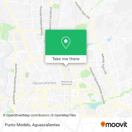
See Punto Modelo, Aguascalientes, on the map
Public Transit to Punto Modelo in Aguascalientes
Wondering how to get to Punto Modelo in Aguascalientes? Moovit helps you find the best way to get to Punto Modelo with step-by-step directions from the nearest public transit station.
Moovit provides free maps and live directions to help you navigate through your city. View schedules, routes, timetables, and find out how long does it take to get to Punto Modelo in real time.
Looking for the nearest stop or station to Punto Modelo? Check out this list of stops closest to your destination: Avenida Héroe De Nacozari; Avenida Héroe De Nacozari; Nuevo Hospital Hidalgo; Prepa Benito Juárez; Avenida Heroico Colegio Militar; Av. Gabriela Mistral; Parque Lineal.
Bus: RUTA 08, RUTA 18, RUTA 37, RUTA 43, RUTA 02, RUTA 51, RUTA 09, RUTA 20N, RUTA 20S.
Want to see if there’s another route that gets you there at an earlier time? Moovit helps you find alternative routes or times. Get directions from and directions to Punto Modelo easily from the Moovit App or Website.
We make riding to Punto Modelo easy, which is why over 1.5 million users, including users in Aguascalientes, trust Moovit as the best app for public transit. You don’t need to download an individual bus app or train app, Moovit is your all-in-one transit app that helps you find the best bus time or train time available.
For information on prices of bus, costs and ride fares to Punto Modelo, please check the Moovit app.
Use the app to navigate to popular places including to the airport, hospital, stadium, grocery store, mall, coffee shop, school, college, and university.
Punto Modelo Address: Punto Modelo, Barrio La Estación, 20259 Aguascalientes, Aguascalientes street in Aguascalientes
- AB-InBev - Grupo Modelo,
- Foro 13,
- Avenida Heroico Colegio Militar,
- Nuevo Hospital Hidalgo,
- Dirección General de Transporte,
- FORO 13 - Complejo Tres Centurias,
- Paty Tours,
- Hospital Hidalgo Agu,
- Extrade II,
- Club Dragones Ags Hockey,
- Banamex Modelo 3 Centurias,
- Adidas,
- Mundo del Video y Fotografía,
- Pasteleria Marianett,
- Canal 26 en Vivo,
- CUDSA Construcciones,
- Autolavado y Engrasado "Ricky",
- Agencia de Viajes Didáctica,
- Antiguo Taller de Locomotoras,
- Centro de Rehabilitación Infantil Teletón
Places Near Punto Modelo (Aguascalientes)
- Central De Autobuses, Aguascalientes,
- ESPACIOS, Aguascalientes,
- Hospital Imss No. 3, Aguascalientes,
- Blvd. Luis Donaldo Colosio, Aguascalientes,
- Universidad Autónoma de Aguascalientes, Aguascalientes,
- Ciudad industrial, Aguascalientes,
- Jesús María, Aguascalientes,
- Imss Clinica 1, Aguascalientes,
- Agropecuario, Aguascalientes,
- Aeropuerto de Aguascalientes S.A. de C.V., Aguascalientes,
- Centro, Aguascalientes,
- Centro Comercial Altaria, Aguascalientes,
- Terminal De Combis, Aguascalientes,
- Nuevo Hospital Hidalgo, Aguascalientes,
- clinica 3 uaa, Aguascalientes,
- Villas de Nuestra Señora de la Asunción, Aguascalientes,
- La Isla San Marcos, Aguascalientes,
- Isla San Marcos, Aguascalientes,
- Parque Las Tres Centurias, Aguascalientes,
- Villasuncion, Aguascalientes
How to get to popular places in Aguascalientes with public transit
Get around Aguascalientes by public transit!
Traveling around Aguascalientes has never been so easy. See step by step directions as you travel to any attraction, street or major public transit station. View bus and train schedules, arrival times, service alerts and detailed routes on a map, so you know exactly how to get to anywhere in Aguascalientes.
When traveling to any destination around Aguascalientes use Moovit's Live Directions with Get Off Notifications to know exactly where and how far to walk, how long to wait for your line, and how many stops are left. Moovit will alert you when it's time to get off — no need to constantly re-check whether yours is the next stop.
Wondering how to use public transit in Aguascalientes or how to pay for public transit in Aguascalientes? Moovit public transit app can help you navigate your way with public transit easily, and at minimum cost. It includes public transit fees, ticket prices, and costs. Looking for a map of Aguascalientes public transit lines? Moovit public transit app shows all public transit maps in Aguascalientes with all bus routes and stops on an interactive map.
Aguascalientes has 1 transit type(s), including: bus, operated by several transit agencies, including Coordinación General de Movilidad