Directions to Pwrta (Manassas) with public transportation
The following transit lines have routes that pass near Pwrta
 Bus: 65, 96, 67.
- Train: MANASSAS LINE, CARDINAL, CRESCENT, NORTHEAST REGIONAL.
How to get to Pwrta by bus?
Click on the bus route to see step by step directions with maps, line arrival times and updated time schedules.
Train station near Pwrta in Manassas
- Manassas, 4 min walk,VIEW
Bus stops near Pwrta in Manassas
Bus lines to Pwrta in Manassas
What are the closest stations to Pwrta?
The closest stations to Pwrta are:
- Manassas is 236 yards away, 4 min walk.
- Grant Ave @ Byrd Dr is 841 yards away, 11 min walk.
- Church St @ Center St is 962 yards away, 12 min walk.
Which bus lines stop near Pwrta?
These bus lines stop near Pwrta: 65, 96.
Which train line stops near Pwrta?
MANASSAS LINE (Broad Run)
What’s the nearest train station to Pwrta in Manassas?
The nearest train station to Pwrta in Manassas is Manassas. It’s a 4 min walk away.
What’s the nearest bus station to Pwrta in Manassas?
The nearest bus station to Pwrta in Manassas is Grant Ave @ Byrd Dr. It’s a 11 min walk away.
What time is the first train to Pwrta in Manassas?
The MANASSAS LINE is the first train that goes to Pwrta in Manassas. It stops nearby at 5:09 AM.
What time is the last train to Pwrta in Manassas?
The NORTHEAST REGIONAL is the last train that goes to Pwrta in Manassas. It stops nearby at 8:30 PM.
What time is the first bus to Pwrta in Manassas?
The 96 is the first bus that goes to Pwrta in Manassas. It stops nearby at 5:22 AM.
What time is the last bus to Pwrta in Manassas?
The 67 is the last bus that goes to Pwrta in Manassas. It stops nearby at 8:17 PM.
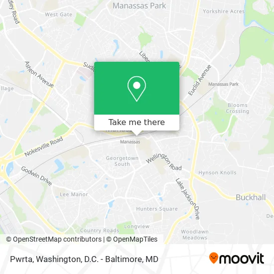
See Pwrta, Manassas, on the map
Public Transit to Pwrta in Manassas
Wondering how to get to Pwrta in Manassas? Moovit helps you find the best way to get to Pwrta with step-by-step directions from the nearest public transit station.
Moovit provides free maps and live directions to help you navigate through your city. View schedules, routes, timetables, and find out how long does it take to get to Pwrta in real time.
Looking for the nearest stop or station to Pwrta? Check out this list of stops closest to your destination: Manassas; Grant Ave @ Byrd Dr; Church St @ Center St.
Bus: 65, 96, 67.Train: MANASSAS LINE, CARDINAL, CRESCENT, NORTHEAST REGIONAL.
Want to see if there’s another route that gets you there at an earlier time? Moovit helps you find alternative routes or times. Get directions from and directions to Pwrta easily from the Moovit App or Website.
We make riding to Pwrta easy, which is why over 1.5 million users, including users in Manassas, trust Moovit as the best app for public transit. You don’t need to download an individual bus app or train app, Moovit is your all-in-one transit app that helps you find the best bus time or train time available.
For information on prices of bus, train and metro, costs and ride fares to Pwrta, please check the Moovit app.
Use the app to navigate to popular places including to the airport, hospital, stadium, grocery store, mall, coffee shop, school, college, and university.
Pwrta Address: 9028 Prince William St street in Manassas
- Bulldog,
- Move4free Realty,
- Castle Home Services,
- Edwin's Road Service,
- Cash K Styles,
- Efn Builders,
- Manassas, Virginia,
- Watch Battery Replacement Band Adjustments Jewelry Repairs Plating and Hand Engraving,
- Baldwin Elementary School,
- Iglesia El Arbol De La Vida,
- Travel Leaders Vacation Center / Formerly Travel Place Manassas,
- Siam Thai Massage,
- Battle Street Bistro,
- Nouman Health Therapy,
- Novant Health Thrift Shop,
- Mountaintop Church,
- Iglesia Centro Vida,
- Nova Builders,
- Parthenos, Curran, Buelow and Polizzi,
- Susan Surkamp - M&T Bank
Places Near Pwrta (Manassas)
- Camden Yards, Baltimore,
- National Zoo, Washington,
- Georgetown, Washington,
- Pennsylvania Ave NW (3rd st and pennsylvania), Washington,
- Capital One Arena, Washington,
- National Mall, Washington,
- Museum Of The Bible, Washington,
- Sibley Memorial Hospital, Washington,
- Marriott Marquis Washington, DC, Washington,
- Westfield Montgomery Mall, Montgomery County,
- PG Mall, Prince George's County,
- M&T Bank Stadium, Baltimore,
- Amazon Hq2, Arlington County,
- The Anthem, Washington,
- Basilica of the National Shrine, Washington,
- Warner Theatre, Washington,
- Washington National Cathedral, Washington,
- Rock Creek Tennis Center, Washington,
- Washington DC VA Medical Center, Washington,
- National Museum of African American History and Culture, Washington
How to get to popular places in Washington, D.C. - Baltimore, MD with public transit
Get around Manassas by public transit!
Traveling around Manassas has never been so easy. See step by step directions as you travel to any attraction, street or major public transit station. View bus and train schedules, arrival times, service alerts and detailed routes on a map, so you know exactly how to get to anywhere in Manassas.
When traveling to any destination around Manassas use Moovit's Live Directions with Get Off Notifications to know exactly where and how far to walk, how long to wait for your line, and how many stops are left. Moovit will alert you when it's time to get off — no need to constantly re-check whether yours is the next stop.
Wondering how to use public transit in Manassas or how to pay for public transit in Manassas? Moovit public transit app can help you navigate your way with public transit easily, and at minimum cost. It includes public transit fees, ticket prices, and costs. Looking for a map of Manassas public transit lines? Moovit public transit app shows all public transit maps in Manassas with all Bus, Train, Metro, Light Rail and Ferry routes and stops on an interactive map.
Washington, D.C. - Baltimore, MD has 5 transit type(s), including: Bus, Train, Metro, Light Rail and Ferry, operated by several transit agencies, including WMATA, Montgomery County Ride On, Fairfax Connector, TheBus, PRTC, DASH - Alexandria, Arlington Transit (ART), RTA of Central Maryland, MDOT MTA, MDOT MTA Light RailLink, MDOT MTA Commuter Bus, MDOT MTA Local Bus, FXBGO!, Virginia Railway Express (VRE) and MARC