Bus stops near Quad/Graphics in Berkeley County
Bus lines to Quad/Graphics in Berkeley County
- Ecolab,
- Thomas Bennett & Hunter,
- Unicorn Cleaning Co. I,
- 1208 Baker Rd,
- Nora H. Mwaura, MSW,
- James F. McMurry, Jr., MD,
- PDS Optical,
- Thur de Koos Paul MD-Thur de Koos, Paul MD,
- VA Piv Office,
- Alicea Garcia Luz V MD - Alicea Garcia, Luz V MD,
- Jerri Keel, Pharmd,
- Rymanowski, Valentine F,
- Koss Matthew PC Pa - Koss, Matthew PC Pa,
- 2943 Charles Town Rd Parking,
- Navy Federal Credit Union,
- Georgia Boy Cafe & Lounge,
- WESTERN UNION,
- Mountain Heritage Federal,
- Alcohol, TBCC, FRRMS & Explsvs,
- Oak Crest Motel
Places Near Quad/Graphics (Berkeley County)
- M&T Bank Stadium, Baltimore,
- The Anthem, Washington,
- Rock Creek Tennis Center, Washington,
- Georgetown, Washington,
- National Theatre, Washington,
- Basilica of the National Shrine, Washington,
- Pennsylvania Ave NW (3rd st and pennsylvania), Washington,
- Camden Yards, Baltimore,
- National Zoo, Washington,
- Amazon Hq2, Arlington County,
- Marriott Marquis Washington, DC, Washington,
- Washington DC VA Medical Center, Washington,
- Warner Theatre, Washington,
- PG Mall, Prince George's County,
- Capital One Arena, Washington,
- Westfield Montgomery Mall, Montgomery County,
- Museum Of The Bible, Washington,
- Sibley Memorial Hospital, Washington,
- Washington National Cathedral, Washington,
- National Museum of African American History and Culture, Washington
How to get to popular places in Washington, D.C. - Baltimore, MD with public transit
What are the closest stations to Quad/Graphics?
The closest stations to Quad/Graphics are:
- Baker Rd is 48 yards away, 2 min walk.
- Va Medical Center is 1353 yards away, 17 min walk.
Which bus lines stop near Quad/Graphics?
These bus lines stop near Quad/Graphics: ROUTE 20, ROUTE 25.
What’s the nearest bus station to Quad/Graphics in Berkeley County?
The nearest bus station to Quad/Graphics in Berkeley County is Baker Rd. It’s a 2 min walk away.
What time is the first bus to Quad/Graphics in Berkeley County?
The ROUTE 20 is the first bus that goes to Quad/Graphics in Berkeley County. It stops nearby at 6:00 AM.
What time is the last bus to Quad/Graphics in Berkeley County?
The ROUTE 20 is the last bus that goes to Quad/Graphics in Berkeley County. It stops nearby at 8:30 PM.
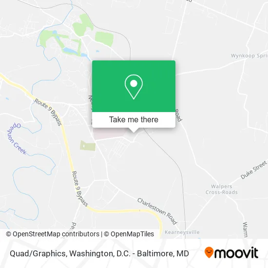
See Quad/Graphics, Berkeley County, on the map
Public Transit to Quad/Graphics in Berkeley County
Wondering how to get to Quad/Graphics in Berkeley County? Moovit helps you find the best way to get to Quad/Graphics with step-by-step directions from the nearest public transit station.
Moovit provides free maps and live directions to help you navigate through your city. View schedules, routes, timetables, and find out how long does it take to get to Quad/Graphics in real time.
Looking for the nearest stop or station to Quad/Graphics? Check out this list of stops closest to your destination: Baker Rd; Va Medical Center.
Bus: ROUTE 20, ROUTE 25, ROUTE 16, ROUTE 11, ROUTE 35.
Want to see if there’s another route that gets you there at an earlier time? Moovit helps you find alternative routes or times. Get directions from and directions to Quad/Graphics easily from the Moovit App or Website.
We make riding to Quad/Graphics easy, which is why over 1.5 million users, including users in Berkeley County, trust Moovit as the best app for public transit. You don’t need to download an individual bus app or train app, Moovit is your all-in-one transit app that helps you find the best bus time or train time available.
For information on prices of bus and train, costs and ride fares to Quad/Graphics, please check the Moovit app.
Use the app to navigate to popular places including to the airport, hospital, stadium, grocery store, mall, coffee shop, school, college, and university.
Quad/Graphics Address: 871 Baker Rd Martinsburg, WV 25405 street in Berkeley County
Get around Berkeley County by public transit!
Traveling around Berkeley County has never been so easy. See step by step directions as you travel to any attraction, street or major public transit station. View bus and train schedules, arrival times, service alerts and detailed routes on a map, so you know exactly how to get to anywhere in Berkeley County.
When traveling to any destination around Berkeley County use Moovit's Live Directions with Get Off Notifications to know exactly where and how far to walk, how long to wait for your line, and how many stops are left. Moovit will alert you when it's time to get off — no need to constantly re-check whether yours is the next stop.
Wondering how to use public transit in Berkeley County or how to pay for public transit in Berkeley County? Moovit public transit app can help you navigate your way with public transit easily, and at minimum cost. It includes public transit fees, ticket prices, and costs. Looking for a map of Berkeley County public transit lines? Moovit public transit app shows all public transit maps in Berkeley County with all Bus, Train, Metro, Light Rail and Ferry routes and stops on an interactive map.
Washington, D.C. - Baltimore, MD has 5 transit type(s), including: Bus, Train, Metro, Light Rail and Ferry, operated by several transit agencies, including WMATA, Montgomery County Ride On, Fairfax Connector, TheBus, PRTC, DASH - Alexandria, Arlington Transit (ART), RTA of Central Maryland, MDOT MTA, MDOT MTA Light RailLink, MDOT MTA Commuter Bus, MDOT MTA Local Bus, FXBGO!, Virginia Railway Express (VRE) and MARC