How to get to Quick Stop by bus?
Click on the bus route to see step by step directions with maps, line arrival times and updated time schedules.
From Broward Health Medical Center, Fort Lauderdale
69 minFrom Las Olas Boulevard, Fort Lauderdale
40 minFrom Dolce & Gabbana, Miami
51 minFrom Aventura Station (Brightline), Miami
56 minFrom Fort Lauderdale Marriott Harbor Beach Resort & Spa, Fort Lauderdale
68 minFrom Riverwalk Fort Lauderdale, Inc., Fort Lauderdale
40 minFrom Port Everglades, Fort Lauderdale
49 minFrom Broward College-Central, Davie
66 minFrom Broward Center for the Performing Arts, Fort Lauderdale
49 minFrom Las olas Blvd, Fort Lauderdale
43 min
How to get to Quick Stop by train?
Click on the train route to see step by step directions with maps, line arrival times and updated time schedules.
Bus stops near Quick Stop in Hollywood
Train stations near Quick Stop in Hollywood
Bus lines to Quick Stop in Hollywood
What are the closest stations to Quick Stop?
The closest stations to Quick Stop are:
- Taft Street/North 21st Avenue is 296 yards away, 4 min walk.
- US 1/Harding Street is 565 yards away, 7 min walk.
- North 23rd Avenue/Wilson Street is 839 yards away, 10 min walk.
- Sheridan Street Station is 3099 yards away, 37 min walk.
- Hollywood Station is 4138 yards away, 49 min walk.
Which bus lines stop near Quick Stop?
These bus lines stop near Quick Stop: 01, 12.
Which train line stops near Quick Stop?
TRIRAIL (Northbound To Mangonia Park)
What’s the nearest bus station to Quick Stop in Hollywood?
The nearest bus station to Quick Stop in Hollywood is Taft Street/North 21st Avenue. It’s a 4 min walk away.
What time is the first train to Quick Stop in Hollywood?
The TRIRAIL is the first train that goes to Quick Stop in Hollywood. It stops nearby at 4:16 AM.
What time is the last train to Quick Stop in Hollywood?
The FLORIDIAN is the last train that goes to Quick Stop in Hollywood. It stops nearby at 5:29 PM.
What time is the first bus to Quick Stop in Hollywood?
The 01 is the first bus that goes to Quick Stop in Hollywood. It stops nearby at 4:53 AM.
What time is the last bus to Quick Stop in Hollywood?
The 01 is the last bus that goes to Quick Stop in Hollywood. It stops nearby at 11:54 PM.
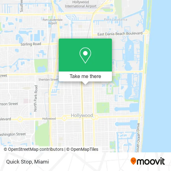
See Quick Stop, Hollywood, on the map
Public Transit to Quick Stop in Hollywood
Wondering how to get to Quick Stop in Hollywood? Moovit helps you find the best way to get to Quick Stop with step-by-step directions from the nearest public transit station.
Moovit provides free maps and live directions to help you navigate through your city. View schedules, routes, timetables, and find out how long does it take to get to Quick Stop in real time.
Looking for the nearest stop or station to Quick Stop? Check out this list of stops closest to your destination: Taft Street/North 21st Avenue; US 1/Harding Street; North 23rd Avenue/Wilson Street; Sheridan Street Station; Hollywood Station.
Bus: 01, 12, 08, 06.Train: TRIRAIL, FLORIDIAN, SILVER METEOR.
Want to see if there’s another route that gets you there at an earlier time? Moovit helps you find alternative routes or times. Get directions from and directions to Quick Stop easily from the Moovit App or Website.
We make riding to Quick Stop easy, which is why over 1.5 million users, including users in Hollywood, trust Moovit as the best app for public transit. You don’t need to download an individual bus app or train app, Moovit is your all-in-one transit app that helps you find the best bus time or train time available.
For information on prices of bus and train, costs and ride fares to Quick Stop, please check the Moovit app.
Use the app to navigate to popular places including to the airport, hospital, stadium, grocery store, mall, coffee shop, school, college, and university.
Quick Stop Address: 1816 N 20th Ave Hollywood, FL 33020 street in Hollywood
- Bob S Locksmith,
- Bro Cade Empire Publishing Group,
- Hollywood Fire Rescue Station 5,
- International Acoustics Company,
- Bryant Integrated Technologies,
- The Sober Today Club,
- Impact Computers Com Notebook Parts,
- Naber Auto Trading,
- Brightstar Auto Sales,
- Andy Demetrio Home Improvement,
- Jordan Cerraduras Y Llaves,
- Crown Luxury and Investment,
- JC Design N Interiors,
- International Protective Investigations,
- Ips Firearms,
- Pirat Station Tinting,
- Brians Euro Diagnostic,
- Exotic Euro Parts,
- City Electric Supply Hollywood,
- GF 1
Places Near Quick Stop (Hollywood)
- Hard Rock Stadium, Miami Gardens,
- Sawgrass Mall, Miami,
- Port of Miami Cruise Terminal, Miami,
- Miami Freedom Park, Miami,
- Miami VA Hospital, Miami,
- Dolphin Mall Bus, Miami,
- Wynwood, Miami,
- Bayside Marketplace, Miami,
- Sawgrass mall ( FL ), Miami Beach,
- Richard E. Gerstein Justice Building, Miami,
- Aventura Mall, Miami Beach,
- Little Havana, Miami,
- Aventura Mall, Miami,
- Keiser University Flagship Campus, West Palm Beach,
- Marlins Park, Miami,
- Dolphin Mall, Miami,
- Miami-Dade County Courthouse, Miami,
- Brickell City Centre, Miami,
- Miami Design District, Miami,
- Zoo Miami, Miami
How to get to popular places in Miami with public transit
Get around Hollywood by public transit!
Traveling around Hollywood has never been so easy. See step by step directions as you travel to any attraction, street or major public transit station. View bus and train schedules, arrival times, service alerts and detailed routes on a map, so you know exactly how to get to anywhere in Hollywood.
When traveling to any destination around Hollywood use Moovit's Live Directions with Get Off Notifications to know exactly where and how far to walk, how long to wait for your line, and how many stops are left. Moovit will alert you when it's time to get off — no need to constantly re-check whether yours is the next stop.
Wondering how to use public transit in Hollywood or how to pay for public transit in Hollywood? Moovit public transit app can help you navigate your way with public transit easily, and at minimum cost. It includes public transit fees, ticket prices, and costs. Looking for a map of Hollywood public transit lines? Moovit public transit app shows all public transit maps in Hollywood with all Bus, Train, Light Rail and Ferry routes and stops on an interactive map.
Miami has 4 transit type(s), including: Bus, Train, Light Rail and Ferry, operated by several transit agencies, including Broward County Transit, Miami-Dade Transit, Metrorail, Palm Tran, Tri-Rail, Brightline, MARTY, City of Homestead Trolley, Key West Transit, Treasure Coast Connector, GoLine IRT, Amtrak, Greyhound-us, FlixBus-us and Aventura Express Shuttle Bus