Directions to Quick Stop (Fort Lauderdale) with public transportation
The following transit lines have routes that pass near Quick Stop
 Bus: 01, 06.
- Train: BLFM.
- Ferry: WATER TROLLEY.
How to get to Quick Stop by bus?
Click on the bus route to see step by step directions with maps, line arrival times and updated time schedules.
From Lauderhill Mall, Plantation
64 minFrom Antique Trade Center, Hollywood
67 minFrom South Broward High School, Hollywood
45 minFrom City of Lauderdale Lakes, Fort Lauderdale
69 minFrom Nova High School, Davie
69 minFrom Holy Cross Hospital, Fort Lauderdale
72 minFrom Hollywood, Florida, Hollywood
58 minFrom Hollywood Beach Boardwalk, Hollywood
74 minFrom Crystal River, Fort Lauderdale
65 minFrom Alligator Alley, Fort Lauderdale
68 min
How to get to Quick Stop by train?
Click on the train route to see step by step directions with maps, line arrival times and updated time schedules.
Bus stop near Quick Stop in Fort Lauderdale
- Southwest 4th Avenue/State Road 84, 2 min walk,VIEW
Ferry station near Quick Stop in Fort Lauderdale
- Smoker Park, 21 min walk,VIEW
Bus lines to Quick Stop in Fort Lauderdale
- 06, Central Terminal Via Tri-Rail,VIEW
What are the closest stations to Quick Stop?
The closest stations to Quick Stop are:
- Southwest 4th Avenue/State Road 84 is 103 yards away, 2 min walk.
- Smoker Park is 1726 yards away, 21 min walk.
Which bus lines stop near Quick Stop?
These bus lines stop near Quick Stop: 01, 06.
Which train line stops near Quick Stop?
BLFM (Mco)
What’s the nearest bus station to Quick Stop in Fort Lauderdale?
The nearest bus station to Quick Stop in Fort Lauderdale is Southwest 4th Avenue/State Road 84. It’s a 2 min walk away.
What’s the nearest ferry station to Quick Stop in Fort Lauderdale?
The nearest ferry station to Quick Stop in Fort Lauderdale is Smoker Park. It’s a 21 min walk away.
What time is the first bus to Quick Stop in Fort Lauderdale?
The 06 is the first bus that goes to Quick Stop in Fort Lauderdale. It stops nearby at 5:24 AM.
What time is the last bus to Quick Stop in Fort Lauderdale?
The 06 is the last bus that goes to Quick Stop in Fort Lauderdale. It stops nearby at 10:14 PM.
What time is the first ferry to Quick Stop in Fort Lauderdale?
The WATER TROLLEY is the first ferry that goes to Quick Stop in Fort Lauderdale. It stops nearby at 10:05 AM.
What time is the last ferry to Quick Stop in Fort Lauderdale?
The WATER TROLLEY is the last ferry that goes to Quick Stop in Fort Lauderdale. It stops nearby at 10:15 PM.
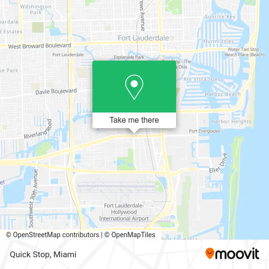
See Quick Stop, Fort Lauderdale, on the map
Public Transit to Quick Stop in Fort Lauderdale
Wondering how to get to Quick Stop in Fort Lauderdale? Moovit helps you find the best way to get to Quick Stop with step-by-step directions from the nearest public transit station.
Moovit provides free maps and live directions to help you navigate through your city. View schedules, routes, timetables, and find out how long does it take to get to Quick Stop in real time.
Looking for the nearest stop or station to Quick Stop? Check out this list of stops closest to your destination: Southwest 4th Avenue/State Road 84; Smoker Park.
Bus: 01, 06.Train: BLFM.Ferry: WATER TROLLEY.
Want to see if there’s another route that gets you there at an earlier time? Moovit helps you find alternative routes or times. Get directions from and directions to Quick Stop easily from the Moovit App or Website.
We make riding to Quick Stop easy, which is why over 1.5 million users, including users in Fort Lauderdale, trust Moovit as the best app for public transit. You don’t need to download an individual bus app or train app, Moovit is your all-in-one transit app that helps you find the best bus time or train time available.
For information on prices of bus and train, costs and ride fares to Quick Stop, please check the Moovit app.
Use the app to navigate to popular places including to the airport, hospital, stadium, grocery store, mall, coffee shop, school, college, and university.
Quick Stop Address: 2312 SW 4th Ave Fort Lauderdale, FL 33315 street in Fort Lauderdale
- Easirent Car Rental Fort Lauderdale Airport,
- Nextcar,
- R E & D Mobile Home Repair,
- One Switch Rental Car FLL,
- Mobile - Frame,
- Chase,
- Marina Mile Blvd,
- Fort Lauderdale Crew House,
- Carwiz Rent A Car,
- Euro,
- Computer Teach Fix,
- 356th Florida National Guard Armory, Ft. Lauderdale Fl,
- Lauderdale Battery,
- Lester's Diner,
- Lester's Diner (Lesters Diner),
- Iron Mountain,
- Fort Lauderdale Firefighters' Benevolent Association (Fire Fighters-Fort Lauderdale),
- Ft Lauderdale Cooling Repair,
- Fort Lauderdale Fire Training Expo,
- Soflo Cycles
Places Near Quick Stop (Fort Lauderdale)
- Wynwood, Miami,
- Bayside Marketplace, Miami,
- Aventura Mall, Miami Beach,
- Port of Miami Cruise Terminal, Miami,
- Zoo Miami, Miami,
- Miami-Dade County Courthouse, Miami,
- Sawgrass Mall, Miami,
- Brickell City Centre, Miami,
- Miami Freedom Park, Miami,
- Aventura Mall, Miami,
- Richard E. Gerstein Justice Building, Miami,
- Dolphin Mall, Miami,
- Dolphin Mall Bus, Miami,
- Keiser University Flagship Campus, West Palm Beach,
- Little Havana, Miami,
- Marlins Park, Miami,
- Miami VA Hospital, Miami,
- Hard Rock Stadium, Miami Gardens,
- Miami Design District, Miami,
- Sawgrass mall ( FL ), Miami Beach
How to get to popular places in Miami with public transit
Get around Fort Lauderdale by public transit!
Traveling around Fort Lauderdale has never been so easy. See step by step directions as you travel to any attraction, street or major public transit station. View bus and train schedules, arrival times, service alerts and detailed routes on a map, so you know exactly how to get to anywhere in Fort Lauderdale.
When traveling to any destination around Fort Lauderdale use Moovit's Live Directions with Get Off Notifications to know exactly where and how far to walk, how long to wait for your line, and how many stops are left. Moovit will alert you when it's time to get off — no need to constantly re-check whether yours is the next stop.
Wondering how to use public transit in Fort Lauderdale or how to pay for public transit in Fort Lauderdale? Moovit public transit app can help you navigate your way with public transit easily, and at minimum cost. It includes public transit fees, ticket prices, and costs. Looking for a map of Fort Lauderdale public transit lines? Moovit public transit app shows all public transit maps in Fort Lauderdale with all Bus, Train, Light Rail and Ferry routes and stops on an interactive map.
Miami has 4 transit type(s), including: Bus, Train, Light Rail and Ferry, operated by several transit agencies, including Broward County Transit, Miami-Dade Transit, Metrorail, Palm Tran, Tri-Rail, Brightline, MARTY, City of Homestead Trolley, Key West Transit, Treasure Coast Connector, GoLine IRT, Amtrak, Greyhound-us, FlixBus-us and Aventura Express Shuttle Bus