Río Bravo, 1005 stop - Tuesday schedule
| Line | Direction | Time |
|---|---|---|
| RUTA 30 | Martínez Dóminguez | 6:22 AM |
| RUTA 19 | Vistas De Oriente | 6:24 AM |
| RUTA 30 | Martínez Dóminguez | 6:27 AM |
| RUTA 30 | Martínez Dóminguez | 6:34 AM |
| RUTA 30 | Martínez Dóminguez | 6:42 AM |
| RUTA 30 | Martínez Dóminguez | 6:46 AM |
| RUTA 19 | Vistas De Oriente | 6:57 AM |
| RUTA 30 | Martínez Dóminguez | 6:57 AM |
| RUTA 30 | Martínez Dóminguez | 6:58 AM |
| RUTA 30 | Martínez Dóminguez | 7:14 AM |
| RUTA 30 | Martínez Dóminguez | 7:16 AM |
| RUTA 30 | Martínez Dóminguez | 7:29 AM |
| RUTA 19 | Vistas De Oriente | 7:34 AM |
| RUTA 30 | Martínez Dóminguez | 7:36 AM |
| RUTA 30 | Martínez Dóminguez | 7:44 AM |
| RUTA 30 | Martínez Dóminguez | 7:52 AM |
| RUTA 30 | Martínez Dóminguez | 7:56 AM |
| RUTA 19 | Vistas De Oriente | 7:59 AM |
| RUTA 30 | Martínez Dóminguez | 8:07 AM |
| RUTA 30 | Martínez Dóminguez | 8:08 AM |
| RUTA 30 | Martínez Dóminguez | 8:20 AM |
| RUTA 30 | Martínez Dóminguez | 8:22 AM |
| RUTA 19 | Vistas De Oriente | 8:32 AM |
| RUTA 30 | Martínez Dóminguez | 8:32 AM |
| RUTA 30 | Martínez Dóminguez | 8:37 AM |
Directions to Río Bravo, 1005 stop (Aguascalientes) with public transit
The following transit lines have routes that pass near Río Bravo, 1005
 Bus: RUTA 19, RUTA 30, RUTA 40, RUTA 28.
How to get to Río Bravo, 1005 stop by bus?
Click on the bus route to see step by step directions with maps, line arrival times and updated time schedules.
Bus stops near Río Bravo, 1005 stop in Aguascalientes
- Río Bravo, 1301, 3 min walk,
- Aguascalientes Poniente, 1116, 4 min walk,
- Aguascalientes Poniente, 701a, 6 min walk,
- Avenida Aguascalientes Poniente, 1503, 9 min walk,
Bus lines to Río Bravo, 1005 stop in Aguascalientes
- RUTA 19, Pocitos,
- RUTA 30, Martínez Dóminguez,
- RUTA 40, Terminal Oriente - Terminal Oriente (N),
- RUTA 40, Terminal Oriente - Terminal Oriente (S),
- RUTA 28, Mahatma Gandhi,
What are the closest stations to Río Bravo, 1005?
The closest stations to Río Bravo, 1005 are:
- Río Bravo, 1301 stop is 155 meters away, 3 min walk.
- Aguascalientes Poniente, 1116 stop is 253 meters away, 4 min walk.
- Aguascalientes Poniente, 701a stop is 413 meters away, 6 min walk.
- Avenida Aguascalientes Poniente, 1503 stop is 696 meters away, 9 min walk.
Which bus lines stop near Río Bravo, 1005?
These bus lines stop near Río Bravo, 1005: RUTA 19, RUTA 30, RUTA 40.
What’s the nearest bus station to Río Bravo, 1005 in Aguascalientes?
The nearest bus station to Río Bravo, 1005 in Aguascalientes is Río Bravo, 1301. It’s a 3 min walk away.
What time is the first bus to Río Bravo, 1005 in Aguascalientes?
The RUTA 40 is the first bus that goes to Río Bravo, 1005 in Aguascalientes. It stops nearby at 6:11 AM.
What time is the last bus to Río Bravo, 1005 in Aguascalientes?
The RUTA 30 is the last bus that goes to Río Bravo, 1005 in Aguascalientes. It stops nearby at 10:05 PM.
Río Bravo, 1005 station
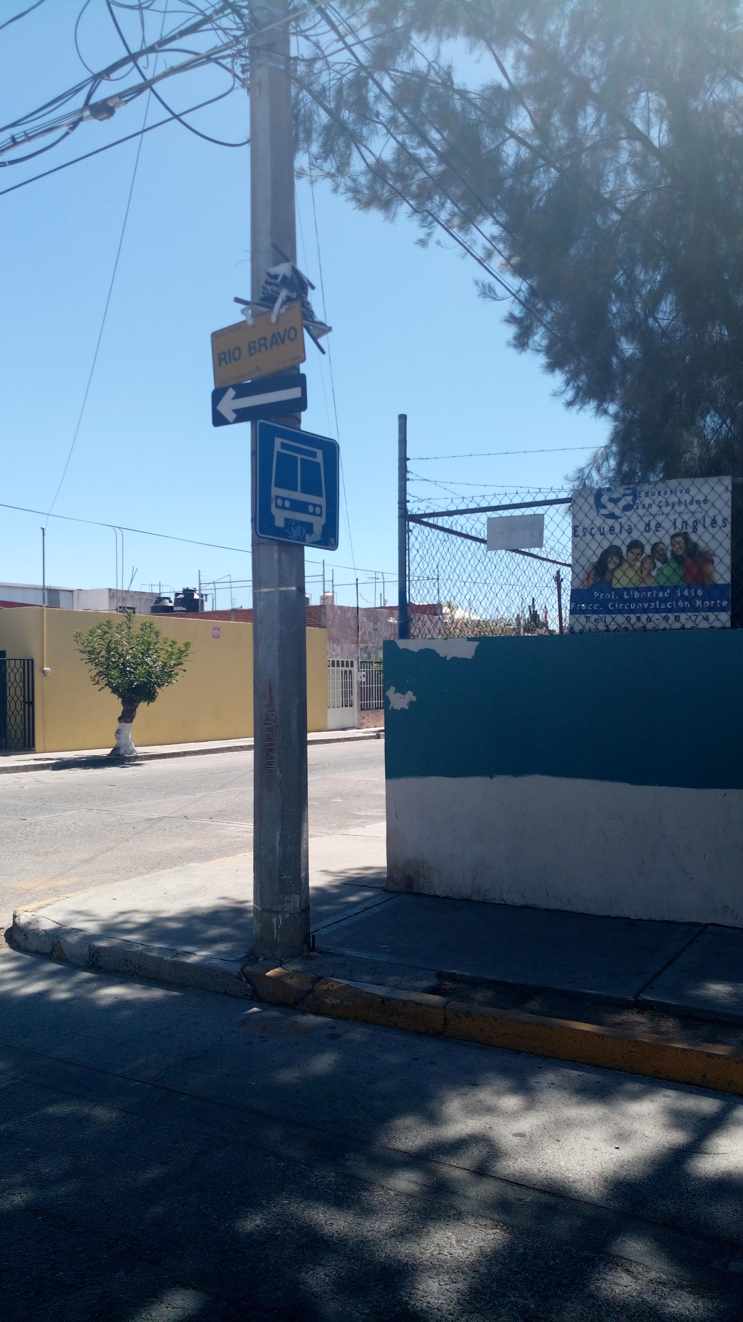 Taken by Geralan A.
See Río Bravo, 1005 stop, Aguascalientes, on the map
Public transit to Río Bravo, 1005 stop in Aguascalientes
Looking for directions to Río Bravo, 1005 in Aguascalientes, México?
Download the Moovit App to find the current schedule and step-by-step directions for Bus routes that pass through Río Bravo, 1005.
Looking for the nearest stops closest to Río Bravo, 1005 ? Check out this list of closest stops to your destination: Río Bravo; Aguascalientes Poniente; Aguascalientes Poniente; Avenida Aguascalientes Poniente.
Bus: RUTA 19, RUTA 30, RUTA 40, RUTA 28.
We make riding on public transit to Río Bravo, 1005 easy, which is why over 1.7 billion users, including users in Aguascalientes trust Moovit as the best app for public transit.
Use the app to navigate to popular places including to the airport, hospital, stadium, grocery store, mall, coffee shop, school, college, and university.
The first line to this stop is RUTA 30, at 6:22 AM, and the last line is RUTA 30 at 10:03 PM.
1003 Calle Río Bravo, Aguascalientes, Mexico
This stop serves Coordinación General de Movilidad’s lines
Popular routes from Río Bravo, 1005 stop, Aguascalientes
- Río Bravo, 1301,
- Aguascalientes Poniente, 1116,
- Aguascalientes Poniente, 701a,
- Avenida Aguascalientes Poniente, 1503
Bus stops near Río Bravo, 1005 stop
- Avenida Paseos De Aguascalientes, 801,
- San Francisco De Los Viveros, Lb,
- Prolongación Paseo De La Asunción, 4702a,
- Avenida Lomas Del Cardenal, 2,
- 28 De Agosto, 508,
- Avenida Convencion 1914 Oriente 297,
- Nazario Ortiz Garza, 403,
- Calle Bonampak, 407(Inta,
- Mayo De 1812, 1207,
- Av.Valle De Los Romeros, 1703,
- Avenida Siglo Xxi, 510,
- Guadalupe, 1002,
- Avenida Paseo San Gerardo, 205,
- Belisario Domínguez, 107,
- Avenida Las Americas, 1624,
- Avenida Aguascalientes Sur, 114,
- Avenida Tecnológico, Lb,
- Bulevar Guadalupano, 1808,
- Avenida Siglo Xxi, 502,
- Colegio El Encino
Popular public transit stations in Aguascalientes
Get around Aguascalientes by public transit!
Traveling around Aguascalientes has never been so easy. See step by step directions as you travel to any attraction, street or major public transit station. View bus and train schedules, arrival times, service alerts and detailed routes on a map, so you know exactly how to get to anywhere in Aguascalientes.
When traveling to any destination around Aguascalientes use Moovit's Live Directions with Get Off Notifications to know exactly where and how far to walk, how long to wait for your line, and how many stops are left. Moovit will alert you when it's time to get off — no need to constantly re-check whether yours is the next stop.
Wondering how to use public transit in Aguascalientes or how to pay for public transit in Aguascalientes? Moovit public transit app can help you navigate your way with public transit easily, and at minimum cost. It includes public transit fees, ticket prices, and costs. Looking for a map of Aguascalientes public transit lines? Moovit public transit app shows all public transit maps in Aguascalientes with all bus routes and stops on an interactive map.
Aguascalientes has 1 transit type(s), including: bus, operated by several transit agencies, including Coordinación General de Movilidad