Directions to R2 Abastecimento (Pinheirinho) with public transportation
The following transit lines have routes that pass near R2 Abastecimento
How to get to R2 Abastecimento by bus?
Click on the bus route to see step by step directions with maps, line arrival times and updated time schedules.
From Praça Afonso Botelho, Água Verde
64 minFrom João Bettega, 736 - Portão, Portão
49 minFrom Terminal Campina do Siqueira - 020 - Interbairros II (Horário), Campina Do Siqueira
55 minFrom Rua Baltazar Carrasco dos Reis, Rebouças
41 minFrom Cemiterio Pedro Fuss, São José Dos Pinhais
86 minFrom Campo De Santana, Campo De Santana
63 minFrom Rua Luiz França, Cajuru
53 minFrom Rua Carlos de Carvalho 1286, Batel
56 minFrom Terminal Campina do Siqueira - 304 - Pinhais / Campo Comprido, Campina Do Siqueira
55 minFrom Supercenter Angeloni Água Verde, Vila Izabel
50 min
Bus stops near R2 Abastecimento in Pinheirinho
Bus lines to R2 Abastecimento in Pinheirinho
What are the closest stations to R2 Abastecimento?
The closest stations to R2 Abastecimento are:
- Rua Antônio Skrepec, 626 is 224 meters away, 4 min walk.
- R. Engenheiro João Bley Filho, 11 is 347 meters away, 5 min walk.
- R. Engenheiro João Bley Filho, 464 is 482 meters away, 7 min walk.
Which bus lines stop near R2 Abastecimento?
These bus lines stop near R2 Abastecimento: 545 TRABALHADOR, 646 POMPÉIA / JANAÍNA, 649 PIRINEUS.
What’s the nearest bus station to R2 Abastecimento in Pinheirinho?
The nearest bus station to R2 Abastecimento in Pinheirinho is Rua Antônio Skrepec, 626. It’s a 4 min walk away.
What time is the first bus to R2 Abastecimento in Pinheirinho?
The 631 PIRATINI / BR 476 is the first bus that goes to R2 Abastecimento in Pinheirinho. It stops nearby at 5:01 AM.
What time is the last bus to R2 Abastecimento in Pinheirinho?
The 631 PIRATINI / BR 476 is the last bus that goes to R2 Abastecimento in Pinheirinho. It stops nearby at 12:47 AM.
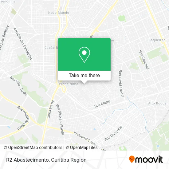
See R2 Abastecimento, Pinheirinho, on the map
Public Transit to R2 Abastecimento in Pinheirinho
Wondering how to get to R2 Abastecimento in Pinheirinho? Moovit helps you find the best way to get to R2 Abastecimento with step-by-step directions from the nearest public transit station.
Moovit provides free maps and live directions to help you navigate through your city. View schedules, routes, timetables, and find out how long does it take to get to R2 Abastecimento in real time.
Looking for the nearest stop or station to R2 Abastecimento? Check out this list of stops closest to your destination: Rua Antônio Skrepec; R. Engenheiro João Bley Filho; R. Engenheiro João Bley Filho.
Bus: 545 TRABALHADOR, 646 POMPÉIA / JANAÍNA, 649 PIRINEUS, 633 MARIA ANGÉLICA, 631 PIRATINI / BR 476.
Want to see if there’s another route that gets you there at an earlier time? Moovit helps you find alternative routes or times. Get directions from and directions to R2 Abastecimento easily from the Moovit App or Website.
We make riding to R2 Abastecimento easy, which is why over 1.5 million users, including users in Pinheirinho, trust Moovit as the best app for public transit. You don’t need to download an individual bus app or train app, Moovit is your all-in-one transit app that helps you find the best bus time or train time available.
For information on prices of bus, costs and ride fares to R2 Abastecimento, please check the Moovit app.
Use the app to navigate to popular places including to the airport, hospital, stadium, grocery store, mall, coffee shop, school, college, and university.
R2 Abastecimento Address: Rua Doraci Dolores Keretch, 59 Pinheirinho Curitiba-PR 81870-600 street in Pinheirinho
- Jerusalém Construcoes e Reformas,
- Condomínio do Edifício Américo de Moraes,
- Lucas Felipe Moreira,
- Serviços Roberti,
- Depósito de Banana Catarinense,
- Aviario e Floricultura Gold,
- Mercearia Rodrigues,
- Rua Engenheiro João Bley Filho, 11 - Pinheirinho,
- Alisson Cristiano Boemer,
- Salão de Festas Minanafest,
- Magna Holding,
- Akb Serviços e Conservacao,
- A K Software e Consultoria,
- Tita e Tati,
- Ministério Chave,
- Saae Angra,
- Edf Confecções,
- Schatzmann Estofados e Reformas,
- Mini Mercado Munhoz,
- R. Antônio Skrepec, 821 - Pinheirinho
Places Near R2 Abastecimento (Pinheirinho)
- Pontifícia Universidade Católica do Paraná (PUCPR), Prado Velho,
- Park Shopping Barigüi, Mossunguê,
- Campo Largo, Campo,
- Hospital Erasto Gaertner, Jardim Das Américas,
- Jockey Plaza Shopping Center, Tarumã,
- Parque Barigui, Mercês,
- Hospital Da Cruz Vermelha, Batel,
- Hospital Universitário Evangélico de Curitiba, Bigorrilho,
- Rua Martim Afonso 558, Mercês,
- Hhhhh, Fazendinha,
- Hospital de Clínicas (HC - UFPR), Centro,
- Hospital Madalena Sofia, Bairro Alto,
- Hospital Nossa Senhora Das Graças, Mercês,
- Rua General Mário Tourinho, Campina Do Siqueira,
- Jardim Botânico de Curitiba PR, Centro,
- Shopping Palladium, Portão,
- Shopping Estação, Rebouças,
- Arena Da Baixada - Curitiba,
- Hospital do Rocio, Campo,
- Hospital Angelina Caron, Campina Grande Do Sul
How to get to popular places in Curitiba Region with public transit
Get around Pinheirinho by public transit!
Traveling around Pinheirinho has never been so easy. See step by step directions as you travel to any attraction, street or major public transit station. View bus and train schedules, arrival times, service alerts and detailed routes on a map, so you know exactly how to get to anywhere in Pinheirinho.
When traveling to any destination around Pinheirinho use Moovit's Live Directions with Get Off Notifications to know exactly where and how far to walk, how long to wait for your line, and how many stops are left. Moovit will alert you when it's time to get off — no need to constantly re-check whether yours is the next stop.
Wondering how to use public transit in Pinheirinho or how to pay for public transit in Pinheirinho? Moovit public transit app can help you navigate your way with public transit easily, and at minimum cost. It includes public transit fees, ticket prices, and costs. Looking for a map of Pinheirinho public transit lines? Moovit public transit app shows all public transit maps in Pinheirinho with all Bus and Cable Car routes and stops on an interactive map.
Curitiba Region has 2 transit type(s), including: Bus and Cable Car, operated by several transit agencies, including Sistema Integrado de Mobilidade (URBS), Sistema Integrado de Mobilidade (AMEP), URBS (Cartões bancários e Dinheiro), URBS (Cartões bancários / Cartão URBS), AMEP (Cartões bancários / Cartão MetroCard), AMEP (Cartões bancários / Cartão MetroCard / Dinheiro), Viação Colombo (Dinheiro), TRIAR (Cartão TRIAR / Dinheiro), Empresa Curitiba Cerro Azul (Dinheiro), Expresso Nossa Senhora da Penha (Dinheiro), Empresa Campo Alto Tijucas (Dinheiro), Auto Viação São José (Cartão VEM / Dinheiro), BRT S/A (Cartão VEM / Dinheiro), TransPiedade (Cartão Cidadão / Dinheiro) and Oceânica Sul (Cartão Transporte / Dinheiro)