How to get to R2 Real Estate by bus?
Click on the bus route to see step by step directions with maps, line arrival times and updated time schedules.
From Flagler, Miami
37 minFrom NW 79th St / NW 32nd Ave, Miami
98 minFrom SW 8th St / Ponce de Leon Blvd, Miami
39 minFrom Magic City Casino, Miami
28 minFrom Northwest 12th Avenue & Northwest 12th Street, Miami
51 minFrom SW 122 Ave & Coral Way, Kendale Lakes-Tamiami
59 minFrom UM Hospital, Miami
56 minFrom Westland Mall, Hialeah
82 minFrom Allapattah, Miami
54 minFrom 1351 NW 12th Ave, Miami
55 min
Bus stops near R2 Real Estate in North Westside
Bus lines to R2 Real Estate in North Westside
What are the closest stations to R2 Real Estate?
The closest stations to R2 Real Estate are:
- Nw 72 Av & Nw 7 St is 226 yards away, 3 min walk.
- Nw 7 St & Nw 72 Av is 396 yards away, 5 min walk.
- W Flagler St @ Sw 72 Av is 1137 yards away, 14 min walk.
- W Flagler St & Tamiami Canal Rd is 1177 yards away, 15 min walk.
Which bus lines stop near R2 Real Estate?
These bus lines stop near R2 Real Estate: 211, 7, 73.
What’s the nearest bus station to R2 Real Estate in North Westside?
The nearest bus station to R2 Real Estate in North Westside is Nw 72 Av & Nw 7 St. It’s a 3 min walk away.
What time is the first bus to R2 Real Estate in North Westside?
The 11 is the first bus that goes to R2 Real Estate in North Westside. It stops nearby at 3:22 AM.
What time is the last bus to R2 Real Estate in North Westside?
The 11 is the last bus that goes to R2 Real Estate in North Westside. It stops nearby at 2:34 AM.
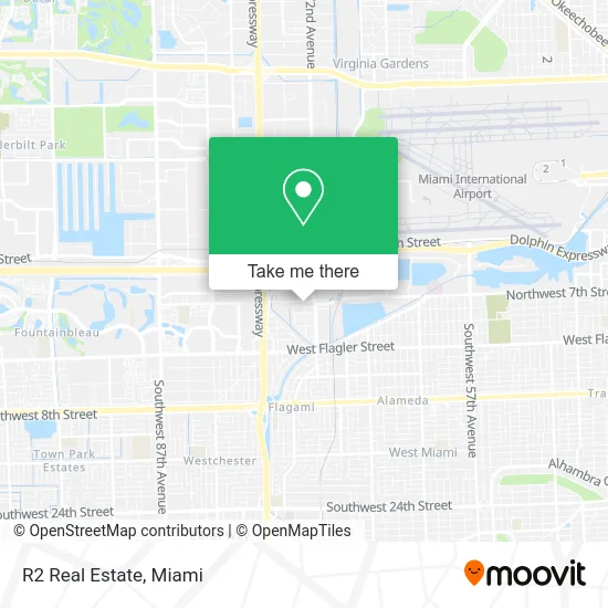
See R2 Real Estate, North Westside, on the map
Public Transit to R2 Real Estate in North Westside
Wondering how to get to R2 Real Estate in North Westside? Moovit helps you find the best way to get to R2 Real Estate with step-by-step directions from the nearest public transit station.
Moovit provides free maps and live directions to help you navigate through your city. View schedules, routes, timetables, and find out how long does it take to get to R2 Real Estate in real time.
Looking for the nearest stop or station to R2 Real Estate? Check out this list of stops closest to your destination: Nw 72 Av & Nw 7 St; Nw 7 St & Nw 72 Av; W Flagler St @ Sw 72 Av; W Flagler St & Tamiami Canal Rd.
Bus: 211, 7, 73, 11, MIAFLAG.
Want to see if there’s another route that gets you there at an earlier time? Moovit helps you find alternative routes or times. Get directions from and directions to R2 Real Estate easily from the Moovit App or Website.
We make riding to R2 Real Estate easy, which is why over 1.5 million users, including users in North Westside, trust Moovit as the best app for public transit. You don’t need to download an individual bus app or train app, Moovit is your all-in-one transit app that helps you find the best bus time or train time available.
For information on prices of bus and train, costs and ride fares to R2 Real Estate, please check the Moovit app.
Use the app to navigate to popular places including to the airport, hospital, stadium, grocery store, mall, coffee shop, school, college, and university.
R2 Real Estate Address: 7280 NW 7th St Miami, FL 33126 street in North Westside
- Theconsultantgroup,
- Flagler's Art-Sport Center,
- Econo Printing,
- Do Karate,
- Acgg,
- Anayansy Diaz Rodriguez,
- El Churrascaso Grill,
- Med Plan (Medplan Clinic),
- Las Madrinas Medical Center Powered by Centrum Health,
- Geo Rehab Center,
- Centrum Health,
- Med Scripts,
- The Locksmith Rescue, Inc.,
- Setog Auto Sale,
- Only1autocustom,
- Fl Lifesafer Creative,
- Burger Beast,
- Univista Insurance,
- Fireworks Lady & Co.,
- CM Motors
Places Near R2 Real Estate (North Westside)
- Dolphin Mall, Miami,
- Little Havana, Miami,
- Miami VA Hospital, Miami,
- Port of Miami Cruise Terminal, Miami,
- Keiser University Flagship Campus, West Palm Beach,
- Marlins Park, Miami,
- Wynwood, Miami,
- Aventura Mall, Miami,
- Miami Design District, Miami,
- Miami-Dade County Courthouse, Miami,
- Dolphin Mall Bus, Miami,
- Aventura Mall, Miami Beach,
- Hard Rock Stadium, Miami Gardens,
- Richard E. Gerstein Justice Building, Miami,
- Sawgrass Mall, Miami,
- Miami Freedom Park, Miami,
- Zoo Miami, Miami,
- Bayside Marketplace, Miami,
- Sawgrass mall ( FL ), Miami Beach,
- Brickell City Centre, Miami
How to get to popular places in Miami with public transit
Get around North Westside by public transit!
Traveling around North Westside has never been so easy. See step by step directions as you travel to any attraction, street or major public transit station. View bus and train schedules, arrival times, service alerts and detailed routes on a map, so you know exactly how to get to anywhere in North Westside.
When traveling to any destination around North Westside use Moovit's Live Directions with Get Off Notifications to know exactly where and how far to walk, how long to wait for your line, and how many stops are left. Moovit will alert you when it's time to get off — no need to constantly re-check whether yours is the next stop.
Wondering how to use public transit in North Westside or how to pay for public transit in North Westside? Moovit public transit app can help you navigate your way with public transit easily, and at minimum cost. It includes public transit fees, ticket prices, and costs. Looking for a map of North Westside public transit lines? Moovit public transit app shows all public transit maps in North Westside with all Bus, Train, Light Rail and Ferry routes and stops on an interactive map.
Miami has 4 transit type(s), including: Bus, Train, Light Rail and Ferry, operated by several transit agencies, including Broward County Transit, Miami-Dade Transit, Metrorail, Palm Tran, Tri-Rail, Brightline, MARTY, City of Homestead Trolley, Key West Transit, Treasure Coast Connector, GoLine IRT, Amtrak, Greyhound-us, FlixBus-us and Aventura Express Shuttle Bus