How to get to RENAULT Autocarpe Azque Alcalá by bus?
Click on the bus route to see step by step directions with maps, line arrival times and updated time schedules.
From Paracuellos de Jarama, Paracuellos De Jarama
70 minFrom C.C. Cuadernillos, Alcalá De Henares
56 minFrom Mágicas Navidades de Torrejón, Torrejón De Ardoz
67 minFrom Iberia La Muñoza, Madrid
80 minFrom Centro Comercial Parque Corredor, Área Metropolitana De Madrid Y Corredor Del Henares
59 minFrom Centro Penitenciario Alcalá Meco - Madrid II, Alcalá De Henares
92 minFrom Hospital Asepeyo, Coslada
65 minFrom Cementerio Jardín, Área Metropolitana De Madrid Y Corredor Del Henares
90 minFrom Azuqueca de Henares, Azuqueca De Henares
48 minFrom Parque Comercial Camino Real, San Fernando De Henares
111 min
How to get to RENAULT Autocarpe Azque Alcalá by train?
Click on the train route to see step by step directions with maps, line arrival times and updated time schedules.
Bus stops near RENAULT Autocarpe Azque Alcalá in Alcalá De Henares
Train station near RENAULT Autocarpe Azque Alcalá in Alcalá De Henares
- La Garena, 51 min walk,VIEW
Bus lines to RENAULT Autocarpe Azque Alcalá in Alcalá De Henares
What are the closest stations to RENAULT Autocarpe Azque Alcalá?
The closest stations to RENAULT Autocarpe Azque Alcalá are:
- Chile - Bolivia is 26 meters away, 1 min walk.
- Ctra. Daganzo - Pza. Panamá is 852 meters away, 11 min walk.
- La Garena is 3981 meters away, 51 min walk.
Which bus lines stop near RENAULT Autocarpe Azque Alcalá?
These bus lines stop near RENAULT Autocarpe Azque Alcalá: 11, 252, 9, FS2.
Which train lines stop near RENAULT Autocarpe Azque Alcalá?
These train lines stop near RENAULT Autocarpe Azque Alcalá: C2, C7.
What’s the nearest bus station to RENAULT Autocarpe Azque Alcalá in Alcalá De Henares?
The nearest bus station to RENAULT Autocarpe Azque Alcalá in Alcalá De Henares is Chile - Bolivia. It’s a 1 min walk away.
What time is the first train to RENAULT Autocarpe Azque Alcalá in Alcalá De Henares?
The C2 is the first train that goes to RENAULT Autocarpe Azque Alcalá in Alcalá De Henares. It stops nearby at 5:53 AM.
What time is the last train to RENAULT Autocarpe Azque Alcalá in Alcalá De Henares?
The C2 is the last train that goes to RENAULT Autocarpe Azque Alcalá in Alcalá De Henares. It stops nearby at 12:31 AM.
What time is the first bus to RENAULT Autocarpe Azque Alcalá in Alcalá De Henares?
The 252 is the first bus that goes to RENAULT Autocarpe Azque Alcalá in Alcalá De Henares. It stops nearby at 3:49 AM.
What time is the last bus to RENAULT Autocarpe Azque Alcalá in Alcalá De Henares?
The 252 is the last bus that goes to RENAULT Autocarpe Azque Alcalá in Alcalá De Henares. It stops nearby at 12:19 AM.
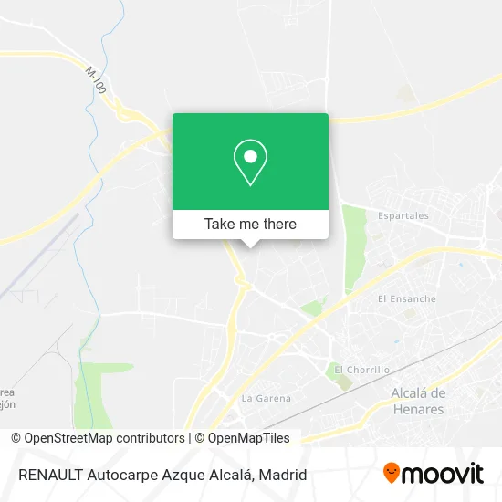
See RENAULT Autocarpe Azque Alcalá, Alcalá De Henares, on the map
Public Transit to RENAULT Autocarpe Azque Alcalá in Alcalá De Henares
Wondering how to get to RENAULT Autocarpe Azque Alcalá in Alcalá De Henares? Moovit helps you find the best way to get to RENAULT Autocarpe Azque Alcalá with step-by-step directions from the nearest public transit station.
Moovit provides free maps and live directions to help you navigate through your city. View schedules, routes, timetables, and find out how long does it take to get to RENAULT Autocarpe Azque Alcalá in real time.
Looking for the nearest stop or station to RENAULT Autocarpe Azque Alcalá? Check out this list of stops closest to your destination: Chile - Bolivia; Ctra. Daganzo - Pza. Panamá; La Garena.
Bus: 11, 252, 9, FS2, 254.Train: C2, C7.
Want to see if there’s another route that gets you there at an earlier time? Moovit helps you find alternative routes or times. Get directions from and directions to RENAULT Autocarpe Azque Alcalá easily from the Moovit App or Website.
We make riding to RENAULT Autocarpe Azque Alcalá easy, which is why over 1.5 million users, including users in Alcalá De Henares, trust Moovit as the best app for public transit. You don’t need to download an individual bus app or train app, Moovit is your all-in-one transit app that helps you find the best bus time or train time available.
For information on prices of bus and train, costs and ride fares to RENAULT Autocarpe Azque Alcalá, please check the Moovit app.
Use the app to navigate to popular places including to the airport, hospital, stadium, grocery store, mall, coffee shop, school, college, and university.
RENAULT Autocarpe Azque Alcalá Address: Calle Chile, 11 street in Alcalá De Henares
- Polígono Azque,
- Calle Chile 43,
- Calle Chile 25-28,
- 28806,
- Calle Chile 1,
- Alcala Industrial,
- Camino el Olivar 33,
- Polígono Industrial Azque,
- Restaurante Los Pinos de Daganzo,
- La Fragua de Mink,
- Polígono Industrial Álvarez,
- Plaza Costa Rica,
- STEF Alcalá,
- Camino el Olivar 54,
- P. I. Carretera de Daganzo,
- Polígono Industrial El Descubrimiento,
- Calle Brasil, 14,
- Camino el Olivar,
- Stef Iberia,
- Tompla
Places Near RENAULT Autocarpe Azque Alcalá (Alcalá De Henares)
- Wizink Center, Madrid,
- Plenilunio, Área Metropolitana De Madrid Y Corredor Del Henares,
- Mercadillo de Majadahonda, Majadahonda,
- Estacion de Chamartin, Madrid,
- Mendez Alvaro, Madrid,
- Rastro De Madrid, Área Metropolitana De Madrid Y Corredor Del Henares,
- Calle de López de Hoyos 169, Madrid,
- Nassica, Área Metropolitana De Madrid Y Corredor Del Henares,
- Plaza Mayor, Madrid,
- Centro Comercial Islazul, Área Metropolitana De Madrid Y Corredor Del Henares,
- Hospital Universitario La Paz, Madrid,
- Centro Comercial Oasiz Madrid, Área Metropolitana De Madrid Y Corredor Del Henares,
- Sala La Riviera, Madrid,
- Hospital Clínico Universitario San Carlos, Madrid,
- Tres Aguas, Alcorcón,
- Hospital Universitario Ramón y Cajal, Madrid,
- Centro Comercial La Vaguada, Área Metropolitana De Madrid Y Corredor Del Henares,
- Estadio Wanda Metropolitano, Área Metropolitana De Madrid Y Corredor Del Henares,
- Palacio De Vistalegre, Área Metropolitana De Madrid Y Corredor Del Henares,
- Centro Comercial La Gavia, Área Metropolitana De Madrid Y Corredor Del Henares
How to get to popular places in Madrid with public transit
Get around Alcalá De Henares by public transit!
Traveling around Alcalá De Henares has never been so easy. See step by step directions as you travel to any attraction, street or major public transit station. View bus and train schedules, arrival times, service alerts and detailed routes on a map, so you know exactly how to get to anywhere in Alcalá De Henares.
When traveling to any destination around Alcalá De Henares use Moovit's Live Directions with Get Off Notifications to know exactly where and how far to walk, how long to wait for your line, and how many stops are left. Moovit will alert you when it's time to get off — no need to constantly re-check whether yours is the next stop.
Wondering how to use public transit in Alcalá De Henares or how to pay for public transit in Alcalá De Henares? Moovit public transit app can help you navigate your way with public transit easily, and at minimum cost. It includes public transit fees, ticket prices, and costs. Looking for a map of Alcalá De Henares public transit lines? Moovit public transit app shows all public transit maps in Alcalá De Henares with all Bus, Train, Metro and Light Rail routes and stops on an interactive map.
Madrid has 4 transit type(s), including: Bus, Train, Metro and Light Rail, operated by several transit agencies, including Metro de Madrid, Metro Ligero, Tranvía de Parla, Renfe Cercanías - Servicios de Autobús especiales, Renfe Cercanias, Renfe Cercanías, EMT, Interurbanos, Urbanos de Alcalá de Henares, Urbanos de Alcobendas, Urbanos de Alcorcón, Urbanos de Algete, Urbanos de Aranjuez, Urbanos de Arganda del Rey and Urbanos de Arroyomolinos