How to get to RNC Construction by bus?
Click on the bus route to see step by step directions with maps, line arrival times and updated time schedules.
From Woodbridge, VA, Prince William County
76 minFrom Potomac Mills Mall, Prince William County
127 minFrom Lorton, VA - Amtrak Auto Train Station (LOR), Fairfax County
181 minFrom 8604 Phoenix Drive, Manassas
173 minFrom U.S. Department of State SA-28, Fairfax County
142 minFrom Lorton, VA, Fairfax County
175 minFrom Jiffy Lube, Manassas
167 minFrom Manassas, VA, Manassas
132 min
Bus stop near RNC Construction in Prince William County
- Dumfries Rd @ Stockbridge Dr, 3 min walk,VIEW
Bus lines to RNC Construction in Prince William County
What are the closest stations to RNC Construction?
The closest stations to RNC Construction are:
- Dumfries Rd @ Stockbridge Dr is 162 yards away, 3 min walk.
Which bus lines stop near RNC Construction?
These bus lines stop near RNC Construction: 51, 52, 53.
What’s the nearest bus station to RNC Construction in Prince William County?
The nearest bus station to RNC Construction in Prince William County is Dumfries Rd @ Stockbridge Dr. It’s a 3 min walk away.
What time is the first bus to RNC Construction in Prince William County?
The 952 is the first bus that goes to RNC Construction in Prince William County. It stops nearby at 4:28 AM.
What time is the last bus to RNC Construction in Prince William County?
The 51 is the last bus that goes to RNC Construction in Prince William County. It stops nearby at 10:34 PM.
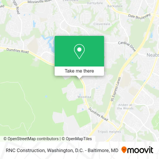
See RNC Construction, Prince William County, on the map
Public Transit to RNC Construction in Prince William County
Wondering how to get to RNC Construction in Prince William County? Moovit helps you find the best way to get to RNC Construction with step-by-step directions from the nearest public transit station.
Moovit provides free maps and live directions to help you navigate through your city. View schedules, routes, timetables, and find out how long does it take to get to RNC Construction in real time.
Looking for the nearest stop or station to RNC Construction? Check out this list of stops closest to your destination: Dumfries Rd @ Stockbridge Dr.
Bus: 51, 52, 53, 952, 953.
Want to see if there’s another route that gets you there at an earlier time? Moovit helps you find alternative routes or times. Get directions from and directions to RNC Construction easily from the Moovit App or Website.
We make riding to RNC Construction easy, which is why over 1.5 million users, including users in Prince William County, trust Moovit as the best app for public transit. You don’t need to download an individual bus app or train app, Moovit is your all-in-one transit app that helps you find the best bus time or train time available.
For information on prices of bus, costs and ride fares to RNC Construction, please check the Moovit app.
Use the app to navigate to popular places including to the airport, hospital, stadium, grocery store, mall, coffee shop, school, college, and university.
RNC Construction Address: Dumfries Rd Dumfries, VA 22025 street in Prince William County
- SKS Cleaning,
- Durham Family Life Agency,
- Thrilled Cheese,
- Homework Catering,
- Carpet Cleaning Made in America Carpet Cleaning,
- Nile Financial Service,
- Sugar Hollow Quilts,
- STARBUCKS,
- America's Best Wings,
- Spaces,
- The Presbyterian Coalition,
- Essential Wellness Massage,
- Coinstar,
- Reliable,
- RNC Construction,
- MG Home Improvement,
- Taquizas Virginia,
- Reclaimed Beauty,
- Pet Nanny of Prince William County,
- Marlop Contracting
Places Near RNC Construction (Prince William County)
- National Museum of African American History and Culture, Washington,
- National Mall, Washington,
- Georgetown, Washington,
- National Zoo, Washington,
- Pennsylvania Ave NW (3rd st and pennsylvania), Washington,
- Marriott Marquis Washington, DC, Washington,
- Washington National Cathedral, Washington,
- The Anthem, Washington,
- Sibley Memorial Hospital, Washington,
- Museum Of The Bible, Washington,
- Westfield Montgomery Mall, Montgomery County,
- Capital One Arena, Washington,
- M&T Bank Stadium, Baltimore,
- Warner Theatre, Washington,
- Camden Yards, Baltimore,
- Washington DC VA Medical Center, Washington,
- Amazon Hq2, Arlington County,
- PG Mall, Prince George's County,
- Rock Creek Tennis Center, Washington,
- Basilica of the National Shrine, Washington
How to get to popular places in Washington, D.C. - Baltimore, MD with public transit
Get around Prince William County by public transit!
Traveling around Prince William County has never been so easy. See step by step directions as you travel to any attraction, street or major public transit station. View bus and train schedules, arrival times, service alerts and detailed routes on a map, so you know exactly how to get to anywhere in Prince William County.
When traveling to any destination around Prince William County use Moovit's Live Directions with Get Off Notifications to know exactly where and how far to walk, how long to wait for your line, and how many stops are left. Moovit will alert you when it's time to get off — no need to constantly re-check whether yours is the next stop.
Wondering how to use public transit in Prince William County or how to pay for public transit in Prince William County? Moovit public transit app can help you navigate your way with public transit easily, and at minimum cost. It includes public transit fees, ticket prices, and costs. Looking for a map of Prince William County public transit lines? Moovit public transit app shows all public transit maps in Prince William County with all Bus, Train, Metro, Light Rail and Ferry routes and stops on an interactive map.
Washington, D.C. - Baltimore, MD has 5 transit type(s), including: Bus, Train, Metro, Light Rail and Ferry, operated by several transit agencies, including WMATA, Montgomery County Ride On, Fairfax Connector, TheBus, PRTC, DASH - Alexandria, Arlington Transit (ART), RTA of Central Maryland, MDOT MTA, MDOT MTA Light RailLink, MDOT MTA Commuter Bus, MDOT MTA Local Bus, FXBGO!, Virginia Railway Express (VRE) and MARC