R. Água Preta, 455 stop - Monday schedule
| Line | Direction | Time |
|---|---|---|
| N245-11 | Jd. Pery Alto | 3:21 AM |
| N245-11 | Jd. Pery Alto | 4:21 AM |
| 1741-10 | Vl. Dionisia | 5:38 AM |
| 1741-10 | Vl. Dionisia | 5:48 AM |
| 1741-10 | Vl. Dionisia | 6:03 AM |
| 1741-10 | Vl. Dionisia | 6:13 AM |
| 1741-10 | Vl. Dionisia | 6:23 AM |
| 1741-10 | Vl. Dionisia | 6:33 AM |
| 1741-10 | Vl. Dionisia | 6:43 AM |
| 1741-10 | Vl. Dionisia | 6:53 AM |
| 1741-10 | Vl. Dionisia | 7:04 AM |
| 1741-10 | Vl. Dionisia | 7:16 AM |
| 1741-10 | Vl. Dionisia | 7:30 AM |
| 1741-10 | Vl. Dionisia | 7:40 AM |
| 1741-10 | Vl. Dionisia | 7:50 AM |
| 1741-10 | Vl. Dionisia | 7:58 AM |
| 1741-10 | Vl. Dionisia | 8:06 AM |
| 1741-10 | Vl. Dionisia | 8:14 AM |
| 1741-10 | Vl. Dionisia | 8:22 AM |
| 1741-10 | Vl. Dionisia | 8:31 AM |
| 1741-10 | Vl. Dionisia | 8:41 AM |
| 1741-10 | Vl. Dionisia | 8:52 AM |
| 1741-10 | Vl. Dionisia | 9:03 AM |
| 1741-10 | Vl. Dionisia | 9:14 AM |
| 1741-10 | Vl. Dionisia | 9:25 AM |
Directions to R. Água Preta, 455 stop (Cachoeirinha) with public transit
The following transit lines have routes that pass near R. Água Preta, 455
 Bus: 148L-10, 1741-10, 1745-10, N245-11, 1722-10.
How to get to R. Água Preta, 455 stop by bus?
Click on the bus route to see step by step directions with maps, line arrival times and updated time schedules.
Bus stops near R. Água Preta, 455 stop in Cachoeirinha
- R. Água Preta, 488, 1 min walk,
- R. Franklin do Amaral, 721, 4 min walk,
- Av. Parada Pinto, 366, 10 min walk,
Bus lines to R. Água Preta, 455 stop in Cachoeirinha
- N245-11, Jd. Pery Alto,
- 1741-10, Vl. Dionisia,
- 148L-10, Lapa,
- 1722-10, Metrô Tucuruvi,
- 1745-10, Shop. Center Norte,
- 148P-10, Pedra Branca - Metrô Barra Funda,
- 211L-10, Mandaqui - Lapa,
- N231-11, Terminal Cachoeirinha - Pedra Branca (Circular),
- 9653-10, Pedra Branca - Praça Do Correio,
What are the closest stations to R. Água Preta, 455?
The closest stations to R. Água Preta, 455 are:
- R. Água Preta, 488 stop is 29 meters away, 1 min walk.
- R. Franklin do Amaral, 721 stop is 262 meters away, 4 min walk.
- Av. Parada Pinto, 366 stop is 764 meters away, 10 min walk.
Which bus lines stop near R. Água Preta, 455?
These bus lines stop near R. Água Preta, 455: 148L-10, 1741-10, 1745-10.
What’s the nearest bus station to R. Água Preta, 455 in Cachoeirinha?
The nearest bus station to R. Água Preta, 455 in Cachoeirinha is R. Água Preta, 488. It’s a 1 min walk away.
What time is the first bus to R. Água Preta, 455 in Cachoeirinha?
The N231-11 is the first bus that goes to R. Água Preta, 455 in Cachoeirinha. It stops nearby at 3:10 AM.
What time is the last bus to R. Água Preta, 455 in Cachoeirinha?
The N245-11 is the last bus that goes to R. Água Preta, 455 in Cachoeirinha. It stops nearby at 2:45 AM.
R. Água Preta, 455 station
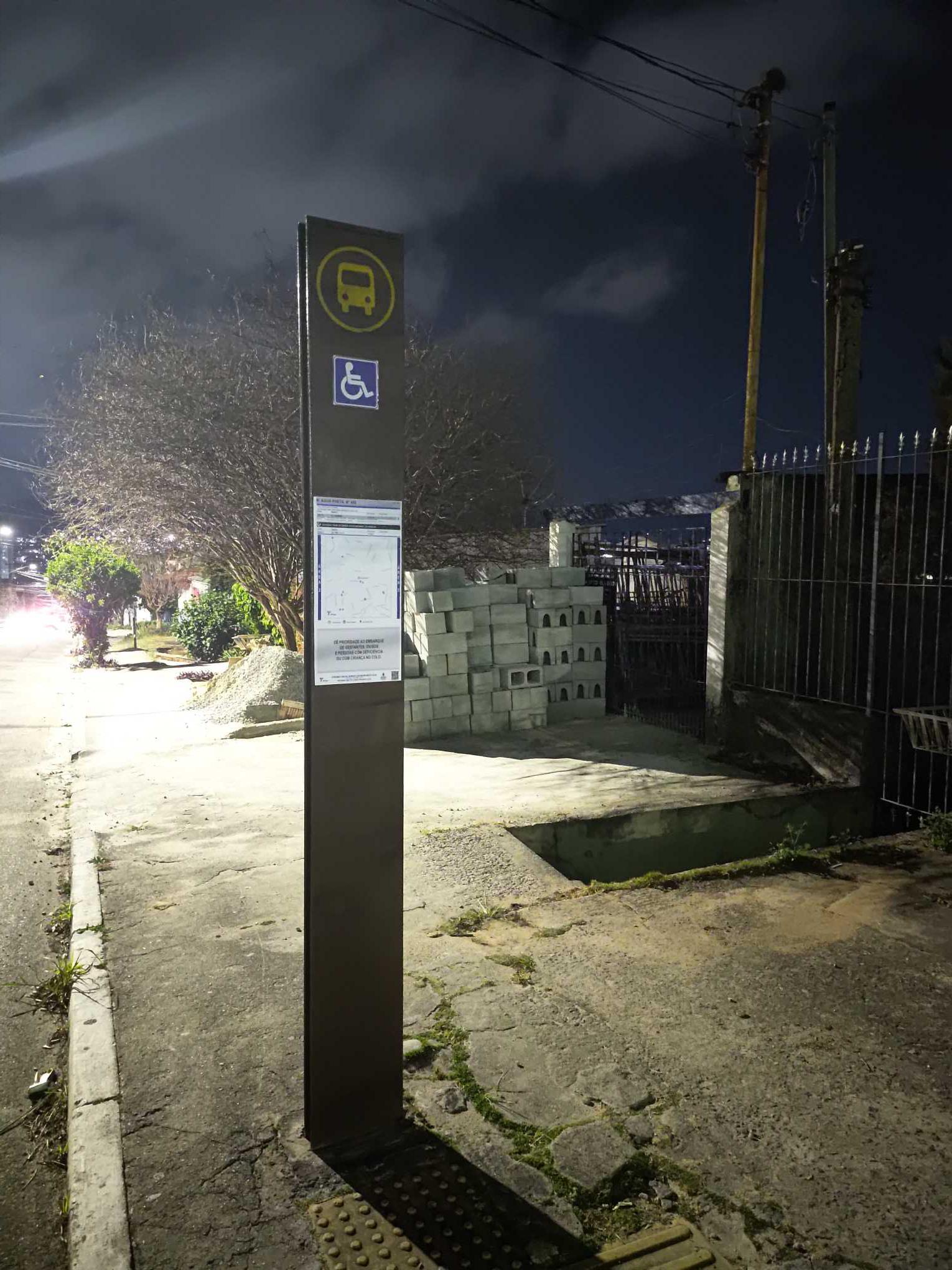 Taken by Anonymous
See R. Água Preta, 455 stop, Cachoeirinha, on the map
Public transit to R. Água Preta, 455 stop in Cachoeirinha
Looking for directions to R. Água Preta, 455 in Cachoeirinha, Brazil?
Download the Moovit App to find the current schedule and step-by-step directions for Bus or Metro routes that pass through R. Água Preta, 455.
Looking for the nearest stops closest to R. Água Preta, 455 ? Check out this list of closest stops to your destination: R. Água Preta; R. Franklin do Amaral; Av. Parada Pinto.
Bus: 148L-10, 1741-10, 1745-10, N245-11, 1722-10, 148P-10, 211L-10, N231-11, 9653-10.
We make riding on public transit to R. Água Preta, 455 easy, which is why over 1.7 billion users, including users in Cachoeirinha trust Moovit as the best app for public transit.
Use the app to navigate to popular places including to the airport, hospital, stadium, grocery store, mall, coffee shop, school, college, and university.
The first line to this stop is N245-11, at 3:21 AM, and the last line is N245-11 at 2:21 AM.
541 Rua Agua Preta, São Paulo, Brazil
This stop serves SPTrans’s lines
- R. Água Preta, 488,
- R. Franklin do Amaral, 721,
- Av. Parada Pinto, 366
Bus stops near R. Água Preta, 455 stop
- Av. Forte do Leme, 360,
- Av. Maria Cursi, 1001,
- Gabriele D'Annunzio C/B,
- Avenida General Pedro Pinho 1540,
- Av. Auro Soares de Moura Andrade 564 (Portão 11),
- Av. Olavo Fontoura, 1400,
- Estrada Marechal Mascarenhas de Moraes- 601,
- Av. Yervant Kissajikian, 1879,
- Várzea Paulista,
- Avenida Brigadeiro Faria Lima 2528,
- R. Iososuke Okaue, 911,
- Av. Jurubatuba, 73,
- Av. Olavo Fontoura, 1209,
- Av. do Estado, 7121,
- Jundiapeba,
- Terminal João Dias (Plataforma Lateral),
- Higienópolis-Mackenzie,
- Rodovia Raposo Tavares (Km 19/São Paulo),
- Av. Gaspar Vaz da Cunha, 314,
- Hilário B/C
Popular public transit stations in Cachoeirinha
Get around Cachoeirinha by public transit!
Traveling around Cachoeirinha has never been so easy. See step by step directions as you travel to any attraction, street or major public transit station. View bus and train schedules, arrival times, service alerts and detailed routes on a map, so you know exactly how to get to anywhere in Cachoeirinha.
When traveling to any destination around Cachoeirinha use Moovit's Live Directions with Get Off Notifications to know exactly where and how far to walk, how long to wait for your line, and how many stops are left. Moovit will alert you when it's time to get off — no need to constantly re-check whether yours is the next stop.
Wondering how to use public transit in Cachoeirinha or how to pay for public transit in Cachoeirinha? Moovit public transit app can help you navigate your way with public transit easily, and at minimum cost. It includes public transit fees, ticket prices, and costs. Looking for a map of Cachoeirinha public transit lines? Moovit public transit app shows all public transit maps in Cachoeirinha with all Bus, Train, Metro, Light Rail, Ferry, Gondola, Cable Car and Funicular routes and stops on an interactive map.
Sao Paulo Region has 8 transit type(s), including: Bus, Train, Metro, Light Rail, Ferry, Gondola, Cable Car and Funicular, operated by several transit agencies, including SPTrans, CPTM, ViaMobilidade, Aquático SP, SPTRANS, EMTU, ViaQuatro, Auto Ônibus Moratense, GRU Airport (Aeroporto de Guarulhos), Auto Viação Urubupungá (Cajamar), Viação Cometa, Auto Viação Urubupungá (Osasco), Viação Ultra / Rápido Brasil, Auto Viação Urubupungá (Santana de Parnaíba) and Expresso Luxo