R. Albergati Capacelli, 600 stop - Wednesday schedule
| Line | Direction | Time |
|---|---|---|
| 7006-10 | Jd. Ângela | 3:28 AM |
| 7006-51 | Metrô Capão Redondo | 3:32 AM |
| N736-11 | Jd. Horizonte Azul | 3:32 AM |
| 7006-10 | Jd. Ângela | 3:44 AM |
| 7006-51 | Metrô Capão Redondo | 3:47 AM |
| 7006-51 | Metrô Capão Redondo | 3:57 AM |
| 7006-10 | Jd. Ângela | 3:59 AM |
| 7006-51 | Metrô Capão Redondo | 4:06 AM |
| 7006-10 | Jd. Ângela | 4:09 AM |
| 7006-51 | Metrô Capão Redondo | 4:14 AM |
| 7006-10 | Jd. Ângela | 4:17 AM |
| 7006-51 | Metrô Capão Redondo | 4:22 AM |
| 7006-10 | Jd. Ângela | 4:25 AM |
| 7006-51 | Metrô Capão Redondo | 4:30 AM |
| N736-11 | Jd. Horizonte Azul | 4:32 AM |
| 7006-10 | Jd. Ângela | 4:33 AM |
| 7006-51 | Metrô Capão Redondo | 4:38 AM |
| 7006-10 | Jd. Ângela | 4:41 AM |
| 7006-51 | Metrô Capão Redondo | 4:46 AM |
| 7006-10 | Jd. Ângela | 4:49 AM |
| 7006-51 | Metrô Capão Redondo | 4:54 AM |
| 7006-10 | Jd. Ângela | 4:57 AM |
| 7006-51 | Metrô Capão Redondo | 5:03 AM |
| 7006-10 | Jd. Ângela | 5:05 AM |
| 7006-51 | Metrô Capão Redondo | 5:10 AM |
Directions to R. Albergati Capacelli, 600 stop (Jardim Ângela) with public transit
The following transit lines have routes that pass near R. Albergati Capacelli, 600
 Bus: 7006-10, 7006-51, N736-11.
How to get to R. Albergati Capacelli, 600 stop by bus?
Click on the bus route to see step by step directions with maps, line arrival times and updated time schedules.
Bus stops near R. Albergati Capacelli, 600 stop in Jardim Ângela
- R. Agatino de Esparta, 19, 1 min walk,
- R. Albergati Capacelli, 605, 1 min walk,
Bus lines to R. Albergati Capacelli, 600 stop in Jardim Ângela
- 7006-51, Metrô Capão Redondo,
- N736-11, Jd. Horizonte Azul,
- 7006-10, Jd. Ângela,
What are the closest stations to R. Albergati Capacelli, 600?
The closest stations to R. Albergati Capacelli, 600 are:
- R. Agatino de Esparta, 19 stop is 55 meters away, 1 min walk.
- R. Albergati Capacelli, 605 stop is 63 meters away, 1 min walk.
Which bus lines stop near R. Albergati Capacelli, 600?
These bus lines stop near R. Albergati Capacelli, 600: 7006-10, 7006-51.
What’s the nearest bus station to R. Albergati Capacelli, 600 in Jardim Ângela?
The nearest bus stations to R. Albergati Capacelli, 600 in Jardim Ângela are R. Agatino de Esparta, 19 and R. Albergati Capacelli, 605. The closest one is a 1 min walk away.
What time is the first bus to R. Albergati Capacelli, 600 in Jardim Ângela?
The 7006-10 is the first bus that goes to R. Albergati Capacelli, 600 in Jardim Ângela. It stops nearby at 3:26 AM.
What time is the last bus to R. Albergati Capacelli, 600 in Jardim Ângela?
The N736-11 is the last bus that goes to R. Albergati Capacelli, 600 in Jardim Ângela. It stops nearby at 2:34 AM.
R. Albergati Capacelli, 600 station
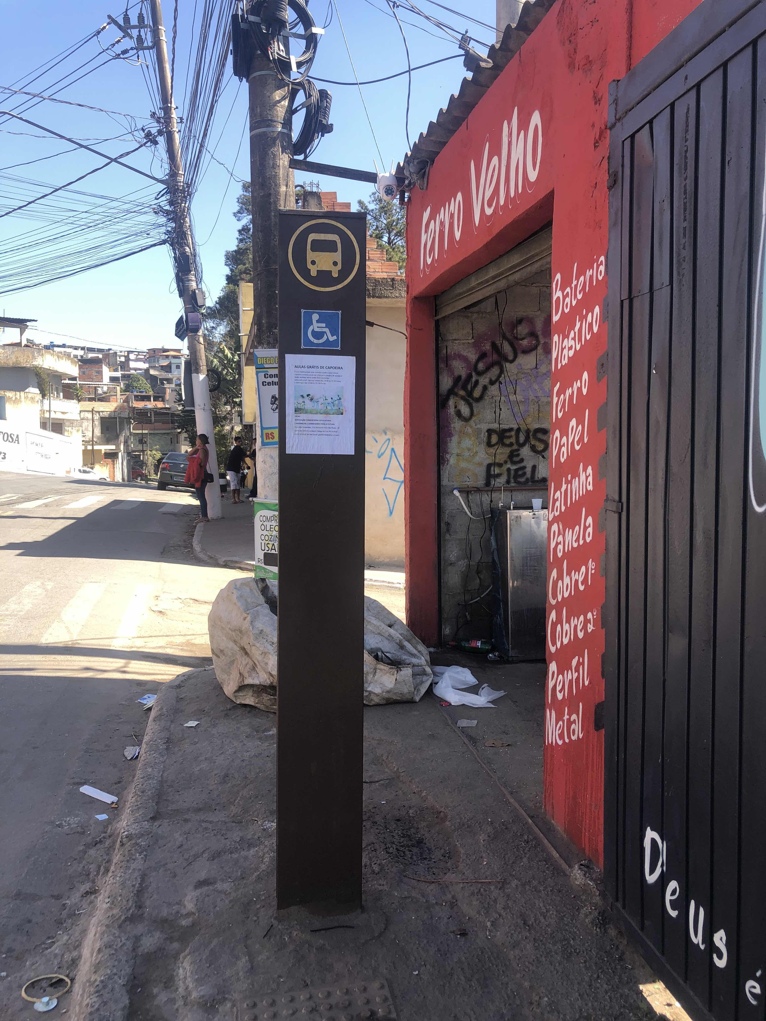 Taken by Anonymous
See R. Albergati Capacelli, 600 stop, Jardim Ângela, on the map
Public transit to R. Albergati Capacelli, 600 stop in Jardim Ângela
Looking for directions to R. Albergati Capacelli, 600 in Jardim Ângela, Brazil?
Download the Moovit App to find the current schedule and step-by-step directions for Bus, Metro or Train routes that pass through R. Albergati Capacelli, 600.
Looking for the nearest stops closest to R. Albergati Capacelli, 600 ? Check out this list of closest stops to your destination: R. Agatino de Esparta; R. Albergati Capacelli.
Bus: 7006-10, 7006-51, N736-11.
We make riding on public transit to R. Albergati Capacelli, 600 easy, which is why over 1.7 billion users, including users in Jardim Ângela trust Moovit as the best app for public transit.
Use the app to navigate to popular places including to the airport, hospital, stadium, grocery store, mall, coffee shop, school, college, and university.
The first line to this stop is 7006-10, at 3:28 AM, and the last line is N736-11 at 2:32 AM.
605 Rua Albergati Capacelli, São Paulo, Brazil
This stop serves SPTrans’s lines
- R. Agatino de Esparta, 19,
- R. Albergati Capacelli, 605
Bus stops near R. Albergati Capacelli, 600 stop
- Av. Zaki Narchi, 357,
- Av. Cupece, 5919,
- Rua Boa Vista, 364,
- Av. Forte do Leme, 360,
- Jurubatuba,
- Avenida Álvaro Guimarães 1020,
- R. Ouvidor Portugal, 541,
- R. S. Quirino, 1090,
- Av. Morumbi, 5594,
- General Miguel Costa,
- Ac. Ao Viaduto Dona Paulina,
- Av. José Higino Neves,
- Av. Cruzeiro do Sul, 2867,
- Rua da Saudade,
- Av. Olavo Fontoura, 1209,
- Av. Gerônimo Barbosa da Silva, 1383,
- Av. Garcia de Ávila, 682,
- Cidade Jardim,
- Av. Aricanduva, 1771,
- R. das Rosas, 732
Popular public transit stations in Jardim Ângela
Get around Jardim Ângela by public transit!
Traveling around Jardim Ângela has never been so easy. See step by step directions as you travel to any attraction, street or major public transit station. View bus and train schedules, arrival times, service alerts and detailed routes on a map, so you know exactly how to get to anywhere in Jardim Ângela.
When traveling to any destination around Jardim Ângela use Moovit's Live Directions with Get Off Notifications to know exactly where and how far to walk, how long to wait for your line, and how many stops are left. Moovit will alert you when it's time to get off — no need to constantly re-check whether yours is the next stop.
Wondering how to use public transit in Jardim Ângela or how to pay for public transit in Jardim Ângela? Moovit public transit app can help you navigate your way with public transit easily, and at minimum cost. It includes public transit fees, ticket prices, and costs. Looking for a map of Jardim Ângela public transit lines? Moovit public transit app shows all public transit maps in Jardim Ângela with all Bus, Train, Metro, Light Rail, Ferry, Gondola, Cable Car and Funicular routes and stops on an interactive map.
Sao Paulo Region has 8 transit type(s), including: Bus, Train, Metro, Light Rail, Ferry, Gondola, Cable Car and Funicular, operated by several transit agencies, including SPTrans, CPTM, ViaMobilidade, Aquático SP, SPTRANS, EMTU, ViaQuatro, Auto Ônibus Moratense, GRU Airport (Aeroporto de Guarulhos), Auto Viação Urubupungá (Cajamar), Viação Cometa, Auto Viação Urubupungá (Osasco), Viação Ultra / Rápido Brasil, Auto Viação Urubupungá (Santana de Parnaíba) and Expresso Luxo