R. Alfazema stop - Wednesday schedule
| Line | Direction | Time |
|---|---|---|
| N242-11 | Jd. Campo Limpo | 3:25 AM |
| N242-11 | Jd. Campo Limpo | 4:45 AM |
| 1788-31 | Jd. Fontalis | 5:09 PM |
| 1788-31 | Jd. Fontalis | 6:14 PM |
| 1788-31 | Jd. Fontalis | 6:54 PM |
| 1788-31 | Jd. Fontalis | 7:39 PM |
| 1788-31 | Jd. Fontalis | 8:38 PM |
| N242-11 | Jd. Campo Limpo | 12:45 AM |
| N242-11 | Jd. Campo Limpo | 2:05 AM |
Directions to R. Alfazema stop (Tremembé) with public transit
The following transit lines have routes that pass near R. Alfazema
 Bus: 1703-10, 1771-10, 179X-10, 566, 1788-31.
How to get to R. Alfazema stop by bus?
Click on the bus route to see step by step directions with maps, line arrival times and updated time schedules.
Bus stops near R. Alfazema stop in Tremembé
- R. Alfazema, 41, 1 min walk,
- R. Alfazema, 2 min walk,
- Rua Santo Anselmo de Cantuária 36, 5 min walk,
- Praça Flor de Maio, 5 min walk,
- R. S. Filipe Neri, 360, 7 min walk,
- Br-381 Rod. Fernão Dias, Km 81,9 Sul - Jardim Sao Luis (Zona Norte), São Paulo, 17 min walk,
- Br-381 Rod. Fernão Dias, Km 81,8 Norte, 19 min walk,
- Estrada Três Cruzes- 28, 20 min walk,
Bus lines to R. Alfazema stop in Tremembé
- 1703-10, Shop. Center Norte,
- 1788-31, Jd. Fontalis,
- 179X-10, Metrô Barra Funda,
- 2028-10, Vl. Ayrosa,
- 1771-10, Jd. Fontális,
- 1788-10, Metrô Santana,
- 2029-10, Metrô Tucuruvi,
- N242-11, Jd. Campo Limpo,
- 042, Mairipora (Divisa) - Sao Paulo (Terminal Rodoviario Tiete),
- 240, Mairipora (Terminal Rodoviario Cidade Bonita Siguemi Aiacyda) - Sao Paulo (Terminal Rodoviario do Tiete),
- 375, Mairipora (Divisa) - Sao Paulo (Terminal Rodoviario do Tiete),
- 042VP1, Mairipora (Terminal Rodoviario Cidade Bonita Siguemi Aiacyda) - Sao Paulo (Terminal Rodoviario Tiete),
- 566, Sao Paulo (Terminal Rodoviario Tiete) - Mairipora (Terminal Rodoviario Cidade Bonita Siguemi Aiacyda),
- 822, Mairipora (Terminal Rodoviario Cidade Bonita Siguemi Aiacyda) - Sao Paulo (Metro Parada Inglesa),
- 337, Guarulhos (Terminal Metropolitano Taboao),
- 532, Sao Paulo (Metro Tucuruvi),
- 251, Rua Santa Conceição-Ret. Operacional,
- 380, Rua Santina,
What are the closest stations to R. Alfazema?
The closest stations to R. Alfazema are:
- R. Alfazema, 41 stop is 20 meters away, 1 min walk.
- R. Alfazema stop is 94 meters away, 2 min walk.
- Rua Santo Anselmo de Cantuária 36 stop is 309 meters away, 5 min walk.
- Praça Flor de Maio stop is 353 meters away, 5 min walk.
- R. S. Filipe Neri, 360 stop is 523 meters away, 7 min walk.
- Br-381 Rod. Fernão Dias, Km 81,9 Sul - Jardim Sao Luis (Zona Norte), São Paulo stop is 1313 meters away, 17 min walk.
- Br-381 Rod. Fernão Dias, Km 81,8 Norte stop is 1494 meters away, 19 min walk.
- Estrada Três Cruzes- 28 stop is 1520 meters away, 20 min walk.
Which bus lines stop near R. Alfazema?
These bus lines stop near R. Alfazema: 1703-10, 1771-10, 179X-10, 566.
What’s the nearest bus station to R. Alfazema in Tremembé?
The nearest bus station to R. Alfazema in Tremembé is R. Alfazema, 41. It’s a 1 min walk away.
What time is the first bus to R. Alfazema in Tremembé?
The N242-11 is the first bus that goes to R. Alfazema in Tremembé. It stops nearby at 3:24 AM.
What time is the last bus to R. Alfazema in Tremembé?
The N242-11 is the last bus that goes to R. Alfazema in Tremembé. It stops nearby at 3:24 AM.
R. Alfazema station
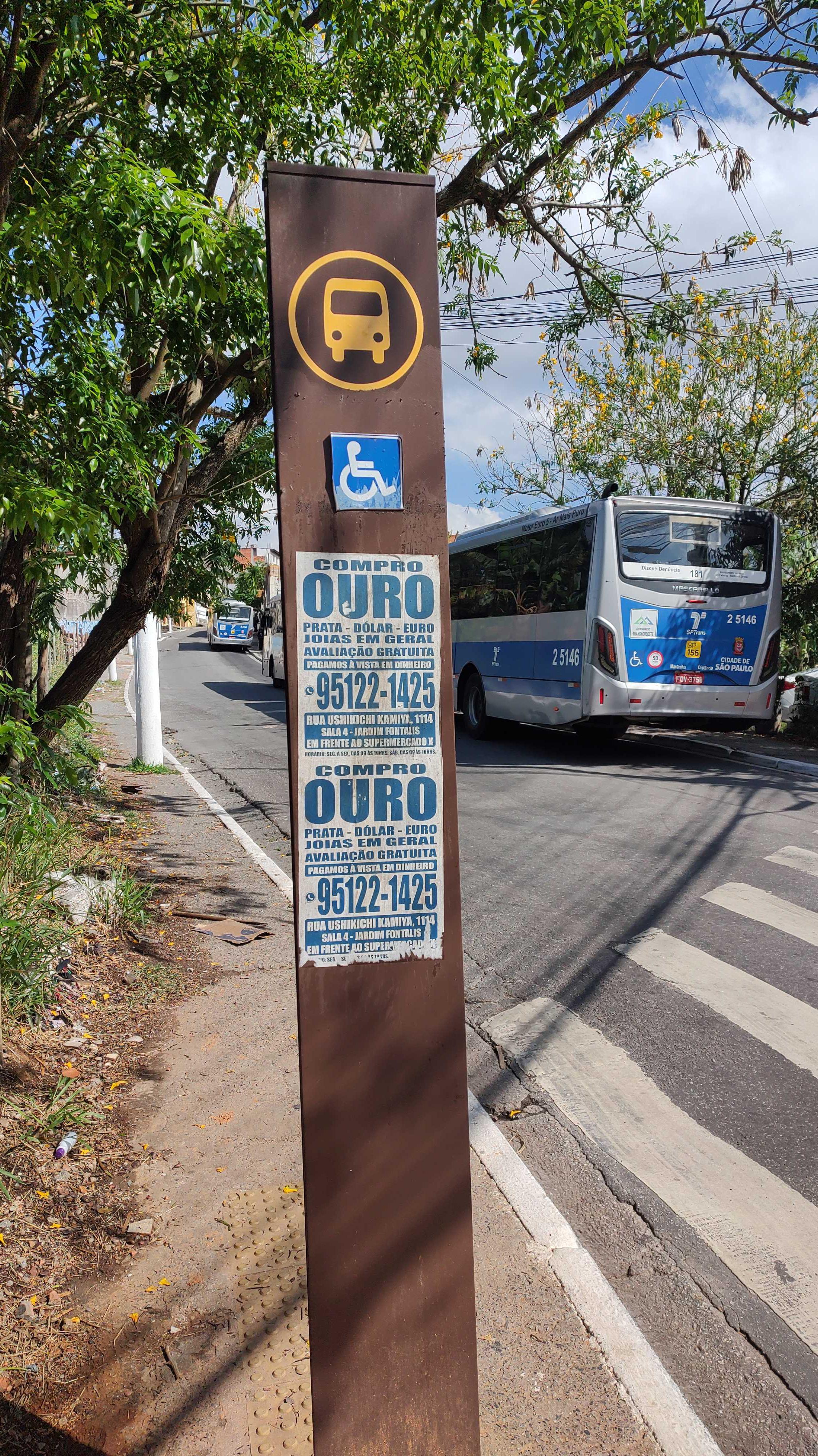 Taken by Anonymous
See R. Alfazema stop, Tremembé, on the map
Public transit to R. Alfazema stop in Tremembé
Looking for directions to R. Alfazema in Tremembé, Brazil?
Download the Moovit App to find the current schedule and step-by-step directions for Bus or Metro routes that pass through R. Alfazema.
Looking for the nearest stops closest to R. Alfazema ? Check out this list of closest stops to your destination: R. Alfazema; R. Alfazema; Rua Santo Anselmo de Cantuária 36; Praça Flor de Maio; R. S. Filipe Neri; Br-381 Rod. Fernão Dias; Br-381 Rod. Fernão Dias; Estrada Três Cruzes- 28.
Bus: 1703-10, 1771-10, 179X-10, 566, 1788-31, 2028-10, 1788-10, 2029-10, N242-11, 042, 240, 375, 042VP1.
We make riding on public transit to R. Alfazema easy, which is why over 1.7 billion users, including users in Tremembé trust Moovit as the best app for public transit.
Use the app to navigate to popular places including to the airport, hospital, stadium, grocery store, mall, coffee shop, school, college, and university.
The first line to this stop is N242-11, at 3:25 AM, and the last line is N242-11 at 2:05 AM.
13 A Rua Amor Perfeito, São Paulo, Brazil
This stop serves SPTrans’s lines
- R. Alfazema, 41,
- R. Alfazema,
- Rua Santo Anselmo de Cantuária 36,
- Praça Flor de Maio,
- R. S. Filipe Neri, 360,
- Br-381 Rod. Fernão Dias, Km 81,9 Sul - Jardim Sao Luis (Zona Norte), São Paulo,
- Br-381 Rod. Fernão Dias, Km 81,8 Norte,
- Estrada Três Cruzes- 28
Bus stops near R. Alfazema stop
- R. Dr. Tirso Martins, 44,
- Av. Prof. Gioia Martins, 140,
- Av. das Cerejeiras, 1335,
- Parada Terminal Grande Alvarenga,
- Avenida Padre Arlindo Vieira, 1274,
- Av. João Pedro Cardoso, 158,
- Av. República do Líbano, 176,
- Av. José Higino Neves,
- Avenida Brigadeiro Luís Antônio 1528,
- Avenida Guilherme Cotching, 915,
- Av. Guilherme Cotching, 1757,
- Rodovia Índio Tibiriçá,
- R. Carlos Gomes, 547,
- Rua Cônego Vicente Miguel Marino, 29,
- Mercado Municipal De São Miguel Paulista,
- Rua Coronel Alfredo Flaquer- 257,
- Suzano,
- Perus,
- Avenida Ordem e Progresso 12,
- Guapituba
Popular public transit stations in Tremembé
Get around Tremembé by public transit!
Traveling around Tremembé has never been so easy. See step by step directions as you travel to any attraction, street or major public transit station. View bus and train schedules, arrival times, service alerts and detailed routes on a map, so you know exactly how to get to anywhere in Tremembé.
When traveling to any destination around Tremembé use Moovit's Live Directions with Get Off Notifications to know exactly where and how far to walk, how long to wait for your line, and how many stops are left. Moovit will alert you when it's time to get off — no need to constantly re-check whether yours is the next stop.
Wondering how to use public transit in Tremembé or how to pay for public transit in Tremembé? Moovit public transit app can help you navigate your way with public transit easily, and at minimum cost. It includes public transit fees, ticket prices, and costs. Looking for a map of Tremembé public transit lines? Moovit public transit app shows all public transit maps in Tremembé with all Bus, Train, Metro, Light Rail, Ferry, Gondola, Cable Car and Funicular routes and stops on an interactive map.
Sao Paulo Region has 8 transit type(s), including: Bus, Train, Metro, Light Rail, Ferry, Gondola, Cable Car and Funicular, operated by several transit agencies, including SPTrans, CPTM, ViaMobilidade, Aquático SP, SPTRANS, EMTU, ViaQuatro, Auto Ônibus Moratense, GRU Airport (Aeroporto de Guarulhos), Auto Viação Urubupungá (Cajamar), Viação Cometa, Auto Viação Urubupungá (Osasco), Viação Ultra / Rápido Brasil, Auto Viação Urubupungá (Santana de Parnaíba) and Expresso Luxo