R. Apinages, 1559 stop - Wednesday schedule
| Line | Direction | Time |
|---|---|---|
| 199D-10 | Term. Pinheiros | 5:02 AM |
| 199D-10 | Term. Pinheiros | 5:24 AM |
| 199D-10 | Term. Pinheiros | 5:40 AM |
| 199D-10 | Term. Pinheiros | 5:55 AM |
| 199D-10 | Term. Pinheiros | 6:05 AM |
| 199D-10 | Term. Pinheiros | 6:15 AM |
| 199D-10 | Term. Pinheiros | 6:25 AM |
| 199D-10 | Term. Pinheiros | 6:35 AM |
| 199D-10 | Term. Pinheiros | 6:45 AM |
| 199D-10 | Term. Pinheiros | 6:55 AM |
| 199D-10 | Term. Pinheiros | 7:06 AM |
| 199D-10 | Term. Pinheiros | 7:19 AM |
| 199D-10 | Term. Pinheiros | 7:32 AM |
| 199D-10 | Term. Pinheiros | 7:45 AM |
| 199D-10 | Term. Pinheiros | 7:55 AM |
| 199D-10 | Term. Pinheiros | 8:05 AM |
| 199D-10 | Term. Pinheiros | 8:15 AM |
| 199D-10 | Term. Pinheiros | 8:30 AM |
| 199D-10 | Term. Pinheiros | 8:45 AM |
| 199D-10 | Term. Pinheiros | 9:00 AM |
| 199D-10 | Term. Pinheiros | 9:15 AM |
| 199D-10 | Term. Pinheiros | 9:30 AM |
| 199D-10 | Term. Pinheiros | 9:45 AM |
| 199D-10 | Term. Pinheiros | 10:04 AM |
| 199D-10 | Term. Pinheiros | 10:21 AM |
Directions to R. Apinages, 1559 stop (Perdizes) with public transit
The following transit lines have routes that pass near R. Apinages, 1559
 Bus: 199D-10, 478P-10, 7267-10, 178L-10, N506-11.
- Metro: LINHA 2, LINHA 4.
- Train: LINHA 10, LINHA 11, LINHA 9.
How to get to R. Apinages, 1559 stop by bus?
Click on the bus route to see step by step directions with maps, line arrival times and updated time schedules.
How to get to R. Apinages, 1559 stop by train?
Click on the train route to see step by step directions with maps, line arrival times and updated time schedules.
How to get to R. Apinages, 1559 stop by metro?
Click on the metro route to see step by step directions with maps, line arrival times and updated time schedules.
Bus stops near R. Apinages, 1559 stop in Perdizes
- R. Apinages, 1535, 1 min walk,
- R. Apinages, 1053, 4 min walk,
- R. Heitor Penteado, 747, 6 min walk,
- Av. Prof. Alfonso Bovero, 477, 6 min walk,
- Av. Pompeia, 2287, 11 min walk,
Metro stations near R. Apinages, 1559 station in Perdizes
- Vila Madalena, 9 min walk,
- Fradique Coutinho, 9 min walk,
Bus lines to R. Apinages, 1559 stop in Perdizes
- 199D-10, Term. Pinheiros,
- 7267-10, Pça. Ramos de Azevedo,
- 178L-10, Lauzane Paulista - Hospital Das Clínicas,
- N506-11, Terminal Sacomã - Metrô Vila Madalena,
- 817C-10, Lapa - Hospital Das Clínicas (Circular),
- 874C-10, Parque Continental - Metrô - Trianon - Masp (Circular),
- 917H-10, Terminal Pirituba - Metrô Vila Mariana,
- 7272-10, Mercado Da Lapa - Praça Ramos De Azevedo (Circular),
- 7281-10, Lapa - Praça Ramos De Azevedo (Circular),
- 7282-10, Parque Continental - Praça Ramos De Azevedo (Circular),
- 478P-10, Vl. Romana,
- 856R-10, Socorro,
- N206-11, Metrô Santana - Metrô Vila Madalena,
- 809U-10, Cidade Universitária - Metrô Barra Funda,
- 809U-21, Metrô Barra Funda - Metrô Vila Madalena,
What are the closest stations to R. Apinages, 1559?
The closest stations to R. Apinages, 1559 are:
- R. Apinages, 1535 stop is 27 meters away, 1 min walk.
- R. Apinages, 1053 stop is 271 meters away, 4 min walk.
- R. Heitor Penteado, 747 stop is 374 meters away, 6 min walk.
- Av. Prof. Alfonso Bovero, 477 stop is 402 meters away, 6 min walk.
- Vila Madalena station is 646 meters away, 9 min walk.
- Fradique Coutinho station is 679 meters away, 9 min walk.
- Av. Pompeia, 2287 stop is 848 meters away, 11 min walk.
Which bus lines stop near R. Apinages, 1559?
These bus lines stop near R. Apinages, 1559: 199D-10, 478P-10, 7267-10.
Which metro line stops near R. Apinages, 1559?
LINHA 2 (Vila Madalena)
Which train lines stop near R. Apinages, 1559?
These train lines stop near R. Apinages, 1559: LINHA 10, LINHA 11, LINHA 9.
What’s the nearest metro station to R. Apinages, 1559 in Perdizes?
The nearest metro stations to R. Apinages, 1559 in Perdizes are Vila Madalena and Fradique Coutinho. The closest one is a 9 min walk away.
What’s the nearest bus station to R. Apinages, 1559 in Perdizes?
The nearest bus station to R. Apinages, 1559 in Perdizes is R. Apinages, 1535. It’s a 1 min walk away.
What time is the first metro to R. Apinages, 1559 in Perdizes?
The LINHA 2 is the first metro that goes to R. Apinages, 1559 in Perdizes. It stops nearby at 4:40 AM.
What time is the last metro to R. Apinages, 1559 in Perdizes?
The LINHA 2 is the last metro that goes to R. Apinages, 1559 in Perdizes. It stops nearby at 12:26 AM.
What time is the first bus to R. Apinages, 1559 in Perdizes?
The N206-11 is the first bus that goes to R. Apinages, 1559 in Perdizes. It stops nearby at 3:02 AM.
What time is the last bus to R. Apinages, 1559 in Perdizes?
The N506-11 is the last bus that goes to R. Apinages, 1559 in Perdizes. It stops nearby at 3:28 AM.
R. Apinages, 1559 station
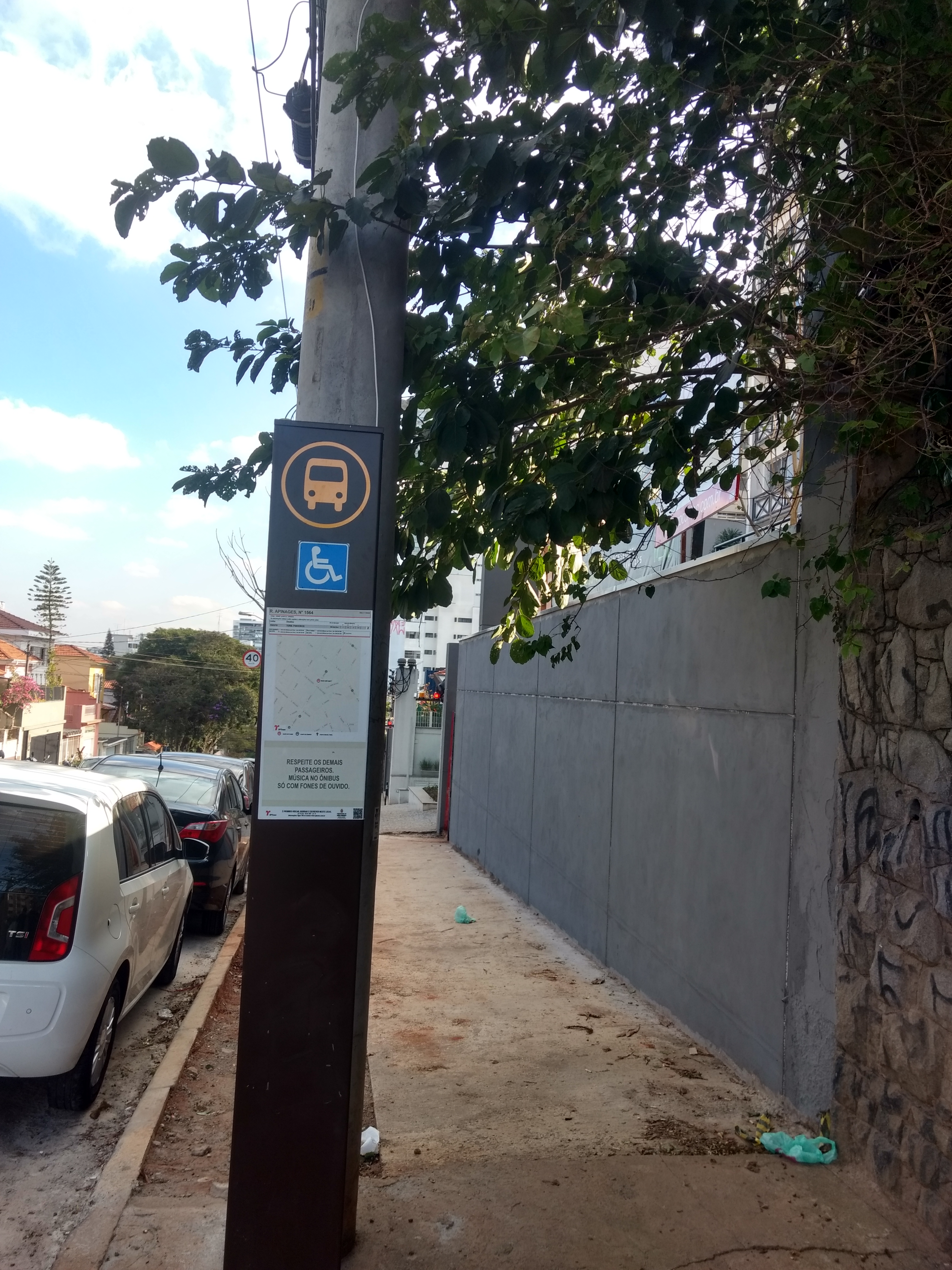 Taken by Anonymous
See R. Apinages, 1559 stop, Perdizes, on the map
Public transit to R. Apinages, 1559 stop in Perdizes
Looking for directions to R. Apinages, 1559 in Perdizes, Brazil?
Download the Moovit App to find the current schedule and step-by-step directions for Bus, Metro or Train routes that pass through R. Apinages, 1559.
Looking for the nearest stops closest to R. Apinages, 1559 ? Check out this list of closest stops to your destination: R. Apinages; R. Apinages; R. Heitor Penteado; Av. Prof. Alfonso Bovero; Vila Madalena; Fradique Coutinho; Av. Pompeia.
Bus: 199D-10, 478P-10, 7267-10, 178L-10, N506-11, 817C-10, 874C-10, 917H-10, 856R-10.Metro: LINHA 2, LINHA 4.Train: LINHA 10, LINHA 11, LINHA 9.
We make riding on public transit to R. Apinages, 1559 easy, which is why over 1.7 billion users, including users in Perdizes trust Moovit as the best app for public transit.
Use the app to navigate to popular places including to the airport, hospital, stadium, grocery store, mall, coffee shop, school, college, and university.
The first line to this stop is 199D-10, at 5:02 AM, and the last line is 199D-10 at 11:42 PM.
1586 Rua Apinages, São Paulo, Brazil
This stop serves SPTrans’s lines
- R. Apinages, 1535,
- R. Apinages, 1053,
- R. Heitor Penteado, 747,
- Av. Prof. Alfonso Bovero, 477,
- Av. Pompeia, 2287
Bus stops near R. Apinages, 1559 stop
- Vila Madalena,
- Fradique Coutinho
Metro stations near R. Apinages, 1559 station
- Ponto Final Emtu - Penha,
- Terminal São Mateus,
- Avenida Brigadeiro Faria Lima 4433,
- Rua São Canuto,
- Heitor dos Prazeres - B/C,
- Av. Mutinga, 4978 - Jardim Santo Elias, São Paulo,
- R. Loefgreen, 2152,
- Imperatriz Leopoldina,
- Avenida Gupe, 10767 - Jardim Belval, Barueri,
- Parada Bienal/Mac,
- Rua da Bica, 285 - Jardim Belval, Barueri,
- Terminal Ferraz,
- Avenida Brigadeiro Luís Antônio , 4008,
- Terminal Cidade Tiradentes,
- Itaquaquecetuba,
- R. Afonso Celso, 871,
- Penitenciaria,
- Av. Pres. Juscelino Kubitschek, 627,
- R. Serafim Poli, 321,
- Av. das Cerejeiras, 318
Popular public transit stations in Perdizes
Get around Perdizes by public transit!
Traveling around Perdizes has never been so easy. See step by step directions as you travel to any attraction, street or major public transit station. View bus and train schedules, arrival times, service alerts and detailed routes on a map, so you know exactly how to get to anywhere in Perdizes.
When traveling to any destination around Perdizes use Moovit's Live Directions with Get Off Notifications to know exactly where and how far to walk, how long to wait for your line, and how many stops are left. Moovit will alert you when it's time to get off — no need to constantly re-check whether yours is the next stop.
Wondering how to use public transit in Perdizes or how to pay for public transit in Perdizes? Moovit public transit app can help you navigate your way with public transit easily, and at minimum cost. It includes public transit fees, ticket prices, and costs. Looking for a map of Perdizes public transit lines? Moovit public transit app shows all public transit maps in Perdizes with all Bus, Train, Metro, Light Rail, Ferry, Gondola, Cable Car and Funicular routes and stops on an interactive map.
Sao Paulo Region has 8 transit type(s), including: Bus, Train, Metro, Light Rail, Ferry, Gondola, Cable Car and Funicular, operated by several transit agencies, including SPTrans, CPTM, ViaMobilidade, Aquático SP, SPTRANS, EMTU, ViaQuatro, Auto Ônibus Moratense, GRU Airport (Aeroporto de Guarulhos), Auto Viação Urubupungá (Cajamar), Viação Cometa, Auto Viação Urubupungá (Osasco), Viação Ultra / Rápido Brasil, Auto Viação Urubupungá (Santana de Parnaíba) and Expresso Luxo