R. Apucarana, 1202 stop - Friday schedule
| Line | Direction | Time |
|---|---|---|
| 3729-10 | Shop. Aricanduva | 4:45 AM |
| 3729-10 | Shop. Aricanduva | 4:55 AM |
| 3729-10 | Shop. Aricanduva | 5:06 AM |
| 3729-10 | Shop. Aricanduva | 5:11 AM |
| 3729-10 | Shop. Aricanduva | 5:17 AM |
| 524L-10 | Pq. São Lucas | 5:18 AM |
| 3729-10 | Shop. Aricanduva | 5:23 AM |
| 3729-10 | Shop. Aricanduva | 5:29 AM |
| 3729-10 | Shop. Aricanduva | 5:35 AM |
| 3729-10 | Shop. Aricanduva | 5:41 AM |
| 3729-10 | Shop. Aricanduva | 5:47 AM |
| 524L-10 | Pq. São Lucas | 5:48 AM |
| 3729-10 | Shop. Aricanduva | 5:53 AM |
| 3729-10 | Shop. Aricanduva | 5:59 AM |
| 3729-10 | Shop. Aricanduva | 6:06 AM |
| 524L-10 | Pq. São Lucas | 6:08 AM |
| 3729-10 | Shop. Aricanduva | 6:11 AM |
| 3729-10 | Shop. Aricanduva | 6:17 AM |
| 3729-10 | Shop. Aricanduva | 6:23 AM |
| 524L-10 | Pq. São Lucas | 6:23 AM |
| 3729-10 | Shop. Aricanduva | 6:29 AM |
| 3729-10 | Shop. Aricanduva | 6:35 AM |
| 3729-10 | Shop. Aricanduva | 6:41 AM |
| 524L-10 | Pq. São Lucas | 6:43 AM |
| 3729-10 | Shop. Aricanduva | 6:47 AM |
Directions to R. Apucarana, 1202 stop (Tatuapé) with public transit
The following transit lines have routes that pass near R. Apucarana, 1202
 Bus: 351F-10, 3729-10, 3763-10, 414P-10, 524L-10.
- Train: LINHA 11, LINHA 12.
- Metro: LINHA 3.
How to get to R. Apucarana, 1202 stop by bus?
Click on the bus route to see step by step directions with maps, line arrival times and updated time schedules.
How to get to R. Apucarana, 1202 stop by train?
Click on the train route to see step by step directions with maps, line arrival times and updated time schedules.
How to get to R. Apucarana, 1202 stop by metro?
Click on the metro route to see step by step directions with maps, line arrival times and updated time schedules.
Bus stops near R. Apucarana, 1202 stop in Tatuapé
- R. Azevedo Soares, 1338, 3 min walk,
- R. Apucarana, 1520, 5 min walk,
- R. Itapura, 1207, 5 min walk,
- R. Emília Marengo, 0, 8 min walk,
Metro stations near R. Apucarana, 1202 station in Tatuapé
- Belém, 29 min walk,
Train stations near R. Apucarana, 1202 station in Tatuapé
- Tatuapé, 48 min walk,
Bus lines to R. Apucarana, 1202 stop in Tatuapé
- 351F-10, Jaçanã,
- 3763-10, Metrô Tatuapé,
- 524L-10, Metrô Tatuapé,
- 3729-10, Metrô Carrão,
- 414P-10, Term. Norte Metrô Carrão,
- 372U-10, Metrô Tatuapé,
What are the closest stations to R. Apucarana, 1202?
The closest stations to R. Apucarana, 1202 are:
- R. Azevedo Soares, 1338 stop is 158 meters away, 3 min walk.
- R. Apucarana, 1520 stop is 320 meters away, 5 min walk.
- R. Itapura, 1207 stop is 364 meters away, 5 min walk.
- R. Emília Marengo, 0 stop is 542 meters away, 8 min walk.
- Belém station is 2225 meters away, 29 min walk.
- Tatuapé station is 3758 meters away, 48 min walk.
Which bus lines stop near R. Apucarana, 1202?
These bus lines stop near R. Apucarana, 1202: 351F-10, 3729-10, 3763-10, 414P-10, 524L-10.
Which train line stops near R. Apucarana, 1202?
LINHA 11 (Estudantes)
Which metro line stops near R. Apucarana, 1202?
LINHA 3 (Corinthians-Itaquera)
What’s the nearest metro station to R. Apucarana, 1202 in Tatuapé?
The nearest metro station to R. Apucarana, 1202 in Tatuapé is Belém. It’s a 29 min walk away.
What’s the nearest bus station to R. Apucarana, 1202 in Tatuapé?
The nearest bus station to R. Apucarana, 1202 in Tatuapé is R. Azevedo Soares, 1338. It’s a 3 min walk away.
What time is the first metro to R. Apucarana, 1202 in Tatuapé?
The LINHA 3 is the first metro that goes to R. Apucarana, 1202 in Tatuapé. It stops nearby at 4:58 AM.
What time is the last metro to R. Apucarana, 1202 in Tatuapé?
The LINHA 3 is the last metro that goes to R. Apucarana, 1202 in Tatuapé. It stops nearby at 12:32 AM.
What time is the first train to R. Apucarana, 1202 in Tatuapé?
The LINHA 12 is the first train that goes to R. Apucarana, 1202 in Tatuapé. It stops nearby at 4:04 AM.
What time is the last train to R. Apucarana, 1202 in Tatuapé?
The LINHA 11 is the last train that goes to R. Apucarana, 1202 in Tatuapé. It stops nearby at 12:54 AM.
What time is the first bus to R. Apucarana, 1202 in Tatuapé?
The 414P-10 is the first bus that goes to R. Apucarana, 1202 in Tatuapé. It stops nearby at 4:10 AM.
What time is the last bus to R. Apucarana, 1202 in Tatuapé?
The 414P-10 is the last bus that goes to R. Apucarana, 1202 in Tatuapé. It stops nearby at 1:10 AM.
R. Apucarana, 1202 station
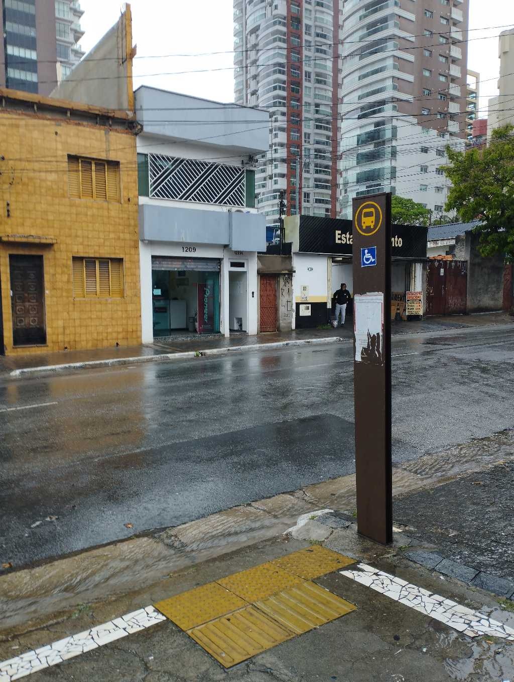 Taken by Anonymous
See R. Apucarana, 1202 stop, Tatuapé, on the map
Public transit to R. Apucarana, 1202 stop in Tatuapé
Looking for directions to R. Apucarana, 1202 in Tatuapé, Brazil?
Download the Moovit App to find the current schedule and step-by-step directions for Bus, Metro or Train routes that pass through R. Apucarana, 1202.
Looking for the nearest stops closest to R. Apucarana, 1202 ? Check out this list of closest stops to your destination: R. Azevedo Soares; R. Apucarana; R. Itapura; R. Emília Marengo; Belém; Tatuapé.
Bus: 351F-10, 3729-10, 3763-10, 414P-10, 524L-10, 372U-10.Train: LINHA 11, LINHA 12.Metro: LINHA 3.
We make riding on public transit to R. Apucarana, 1202 easy, which is why over 1.7 billion users, including users in Tatuapé trust Moovit as the best app for public transit.
Use the app to navigate to popular places including to the airport, hospital, stadium, grocery store, mall, coffee shop, school, college, and university.
The first line to this stop is 3729-10, at 4:45 AM, and the last line is 3729-10 at 1:25 AM.
1190 Rua Apucarana, São Paulo, Brazil
This stop serves SPTrans’s lines
- R. Azevedo Soares, 1338,
- R. Apucarana, 1520,
- R. Itapura, 1207,
- R. Emília Marengo, 0
Bus stops near R. Apucarana, 1202 stop
- Belém
Metro station near R. Apucarana, 1202 station
- Tatuapé
Train station near R. Apucarana, 1202 station
- Patriarca-Vila Ré,
- Av. Esperantina, 1171,
- Trianon-Masp,
- R. Odilon Dantas Cortez, 306,
- Av. Dr. Abraão Ribeiro, 313,
- Cidade Jardim,
- Av. da Liberdade, 47,
- Av. República do Líbano, 501,
- Av. Felipe Carrillo Puerto,
- Avenida Agenor Couto de Magalhães 125,
- Av. Paula Ferreira, 2427,
- São Bento,
- Av. Miguel Ignácio Curi, 44,
- Br-116 Rod. Régis Bittencourt, Km 300,3 Sul - Parada Estr. do Morro Grande - Goncalves, São Lourenço da Serra,
- Av. Morumbi, 8860,
- Franco da Rocha,
- Av. Yervant Kissajikian, 2858,
- Rua Fradique Coutinho, 915 - Pinheiros, São Paulo,
- Parada 2,
- Avenida Paula Ferreira, 295
Popular public transit stations in Tatuapé
Get around Tatuapé by public transit!
Traveling around Tatuapé has never been so easy. See step by step directions as you travel to any attraction, street or major public transit station. View bus and train schedules, arrival times, service alerts and detailed routes on a map, so you know exactly how to get to anywhere in Tatuapé.
When traveling to any destination around Tatuapé use Moovit's Live Directions with Get Off Notifications to know exactly where and how far to walk, how long to wait for your line, and how many stops are left. Moovit will alert you when it's time to get off — no need to constantly re-check whether yours is the next stop.
Wondering how to use public transit in Tatuapé or how to pay for public transit in Tatuapé? Moovit public transit app can help you navigate your way with public transit easily, and at minimum cost. It includes public transit fees, ticket prices, and costs. Looking for a map of Tatuapé public transit lines? Moovit public transit app shows all public transit maps in Tatuapé with all Bus, Train, Metro, Light Rail, Ferry, Gondola, Cable Car and Funicular routes and stops on an interactive map.
Sao Paulo Region has 8 transit type(s), including: Bus, Train, Metro, Light Rail, Ferry, Gondola, Cable Car and Funicular, operated by several transit agencies, including SPTrans, CPTM, ViaMobilidade, Aquático SP, SPTRANS, EMTU, ViaQuatro, Auto Ônibus Moratense, GRU Airport (Aeroporto de Guarulhos), Auto Viação Urubupungá (Cajamar), Viação Cometa, Auto Viação Urubupungá (Osasco), Viação Ultra / Rápido Brasil, Auto Viação Urubupungá (Santana de Parnaíba) and Expresso Luxo