R. Artur, 547 stop - Wednesday schedule
| Line | Direction | Time |
|---|---|---|
| 971T-10 | Metrô Santana | 4:44 AM |
| 971T-10 | Metrô Santana | 4:54 AM |
| 971T-10 | Metrô Santana | 5:04 AM |
| 971T-10 | Metrô Santana | 5:15 AM |
| 971T-10 | Metrô Santana | 5:24 AM |
| 971T-10 | Metrô Santana | 5:33 AM |
| 971T-10 | Metrô Santana | 5:42 AM |
| 971T-10 | Metrô Santana | 5:51 AM |
| 971T-10 | Metrô Santana | 6:00 AM |
| 971T-10 | Metrô Santana | 6:08 AM |
| 971T-10 | Metrô Santana | 6:15 AM |
| 971T-10 | Metrô Santana | 6:23 AM |
| 971T-10 | Metrô Santana | 6:31 AM |
| 971T-10 | Metrô Santana | 6:39 AM |
| 971T-10 | Metrô Santana | 6:47 AM |
| 971T-10 | Metrô Santana | 6:55 AM |
| 971T-10 | Metrô Santana | 7:04 AM |
| 971T-10 | Metrô Santana | 7:14 AM |
| 971T-10 | Metrô Santana | 7:24 AM |
| 971T-10 | Metrô Santana | 7:34 AM |
| 971T-10 | Metrô Santana | 7:44 AM |
| 971T-10 | Metrô Santana | 7:54 AM |
| 971T-10 | Metrô Santana | 8:04 AM |
| 971T-10 | Metrô Santana | 8:14 AM |
| 971T-10 | Metrô Santana | 8:24 AM |
Directions to R. Artur, 547 stop (Santana) with public transit
The following transit lines have routes that pass near R. Artur, 547
 Bus: 178T-10, 971D-10, 971T-10, N206-11, N209-11.
- Metro: LINHA 1.
How to get to R. Artur, 547 stop by bus?
Click on the bus route to see step by step directions with maps, line arrival times and updated time schedules.
How to get to R. Artur, 547 stop by metro?
Click on the metro route to see step by step directions with maps, line arrival times and updated time schedules.
Bus stops near R. Artur, 547 stop in Santana
- R. Claudio Rodrigues Lopes, 182, 2 min walk,
- Av. Eng. Caetano Alvares, 4244, 4 min walk,
- Av. Imirim, 1460, 5 min walk,
- Av. Imirim, 1561, 5 min walk,
- R. Ramal dos Menezes, 427, 9 min walk,
Metro stations near R. Artur, 547 station in Santana
- Parada Inglesa, 24 min walk,
Bus lines to R. Artur, 547 stop in Santana
- 971T-10, Vl. Sta. Maria,
- 178T-10, Ceasa,
- N206-11, Metrô Vl. Madalena,
- 971D-10, Shop. Center Norte,
- N209-11, Terminal Cachoeirinha - Metrô Santana,
- 971C-10, Cohab Brasilândia - Metrô Santana,
- 971R-10, Cptm Jaraguá - Metrô Santana,
- 971X-10, Terminal Cachoeirinha - Metrô Santana,
- 971R-42, Cdhu Voith - Metrô Santana,
- 1745-10, Vilanova Cachoeirinha - Shopping Center Norte,
- 9354-10, Terminal Cachoeirinha - Praça Do Correio,
- 971R-21, Jardim Damasceno - Metrô Santana,
- 971R-51, Chica Luisa - Metrô Santana,
- 1741-10, Metrô Santana,
What are the closest stations to R. Artur, 547?
The closest stations to R. Artur, 547 are:
- R. Claudio Rodrigues Lopes, 182 stop is 78 meters away, 2 min walk.
- Av. Eng. Caetano Alvares, 4244 stop is 237 meters away, 4 min walk.
- Av. Imirim, 1460 stop is 375 meters away, 5 min walk.
- Av. Imirim, 1561 stop is 377 meters away, 5 min walk.
- R. Ramal dos Menezes, 427 stop is 686 meters away, 9 min walk.
- Parada Inglesa station is 1818 meters away, 24 min walk.
Which bus lines stop near R. Artur, 547?
These bus lines stop near R. Artur, 547: 178T-10, 971D-10, 971T-10.
Which metro line stops near R. Artur, 547?
LINHA 1 (Tucuruvi)
What’s the nearest metro station to R. Artur, 547 in Santana?
The nearest metro station to R. Artur, 547 in Santana is Parada Inglesa. It’s a 24 min walk away.
What’s the nearest bus station to R. Artur, 547 in Santana?
The nearest bus station to R. Artur, 547 in Santana is R. Claudio Rodrigues Lopes, 182. It’s a 2 min walk away.
What time is the first metro to R. Artur, 547 in Santana?
The LINHA 1 is the first metro that goes to R. Artur, 547 in Santana. It stops nearby at 4:41 AM.
What time is the last metro to R. Artur, 547 in Santana?
The LINHA 1 is the last metro that goes to R. Artur, 547 in Santana. It stops nearby at 12:42 AM.
What time is the first bus to R. Artur, 547 in Santana?
The N209-11 is the first bus that goes to R. Artur, 547 in Santana. It stops nearby at 3:12 AM.
What time is the last bus to R. Artur, 547 in Santana?
The N206-11 is the last bus that goes to R. Artur, 547 in Santana. It stops nearby at 2:50 AM.
R. Artur, 547 station
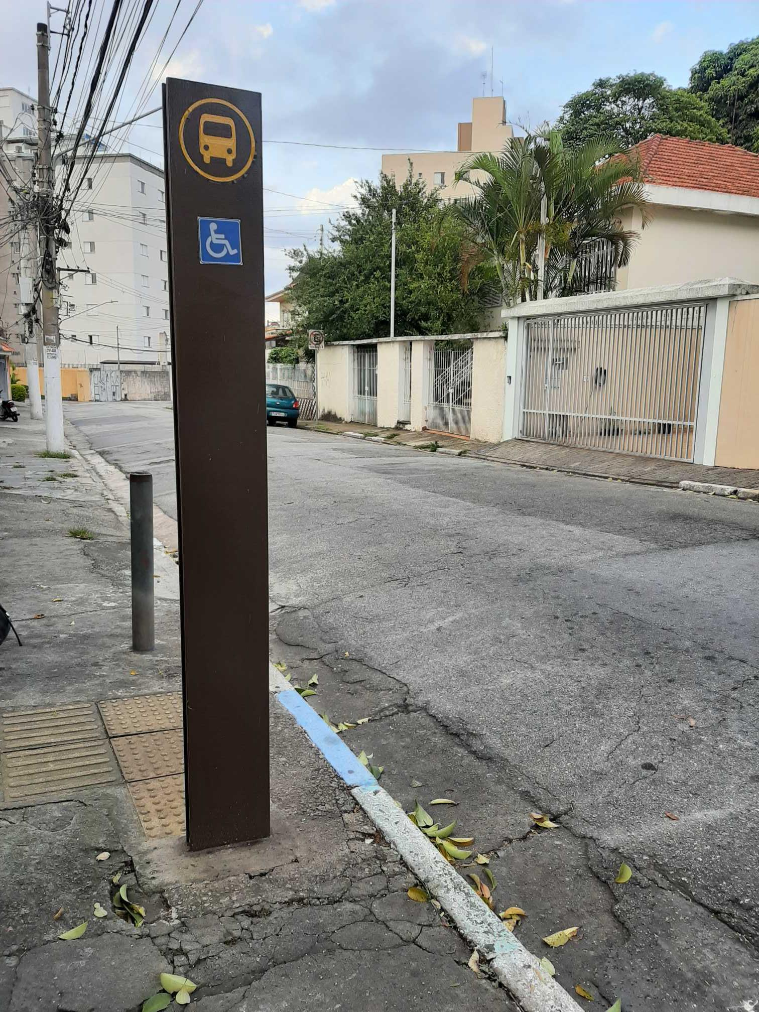 Taken by Anonymous
See R. Artur, 547 stop, Santana, on the map
Public transit to R. Artur, 547 stop in Santana
Looking for directions to R. Artur, 547 in Santana, Brazil?
Download the Moovit App to find the current schedule and step-by-step directions for Bus, Metro or Train routes that pass through R. Artur, 547.
Looking for the nearest stops closest to R. Artur, 547 ? Check out this list of closest stops to your destination: R. Claudio Rodrigues Lopes; Av. Eng. Caetano Alvares; Av. Imirim; Av. Imirim; R. Ramal dos Menezes; Parada Inglesa.
Bus: 178T-10, 971D-10, 971T-10, N206-11, N209-11, 971C-10, 971R-10, 971X-10, 971R-42, 971R-21, 971R-51, 1741-10.Metro: LINHA 1.
We make riding on public transit to R. Artur, 547 easy, which is why over 1.7 billion users, including users in Santana trust Moovit as the best app for public transit.
Use the app to navigate to popular places including to the airport, hospital, stadium, grocery store, mall, coffee shop, school, college, and university.
The first line to this stop is 971T-10, at 4:44 AM, and the last line is 971T-10 at 12:29 AM.
575 Rua Artur, São Paulo, Brazil
This stop serves SPTrans’s lines
- R. Claudio Rodrigues Lopes, 182,
- Av. Eng. Caetano Alvares, 4244,
- Av. Imirim, 1460,
- Av. Imirim, 1561,
- R. Ramal dos Menezes, 427
Bus stops near R. Artur, 547 stop
- Parada Inglesa
Metro station near R. Artur, 547 station
- R. Francisco Lotufo, 24,
- Avenida Paulista 901,
- C. V. João Jorge Saad, 624,
- Av. Auro Soares de Moura Andrade 6232,
- Praça da Árvore,
- Av. Giovanni Gronchi, 6195,
- Avenida Cruzeiro Do Sul 2453,
- Avenida Vinte e Três de Maio (C/B),
- Franco da Rocha,
- Parada 2,
- Avenida Marquês de São Vicente 577,
- R. Clênio Wanderley, 80,
- R. Malmequer do Campo, 1007,
- Hospital Leonor Mendes de Barros,
- Av. Giovanni Gronchi, 4321,
- Estrada Mogi-Bertioga (Rotatoria Taiacupeba),
- Parada Bandeira Paulista 446,
- R. Costa Barros, 505,
- Eucaliptos B/C,
- Estr. São Francisco, 1520 - Vila Sonia do Taboao, Taboão da Serra
Popular public transit stations in Santana
Get around Santana by public transit!
Traveling around Santana has never been so easy. See step by step directions as you travel to any attraction, street or major public transit station. View bus and train schedules, arrival times, service alerts and detailed routes on a map, so you know exactly how to get to anywhere in Santana.
When traveling to any destination around Santana use Moovit's Live Directions with Get Off Notifications to know exactly where and how far to walk, how long to wait for your line, and how many stops are left. Moovit will alert you when it's time to get off — no need to constantly re-check whether yours is the next stop.
Wondering how to use public transit in Santana or how to pay for public transit in Santana? Moovit public transit app can help you navigate your way with public transit easily, and at minimum cost. It includes public transit fees, ticket prices, and costs. Looking for a map of Santana public transit lines? Moovit public transit app shows all public transit maps in Santana with all Bus, Train, Metro, Light Rail, Ferry, Gondola, Cable Car and Funicular routes and stops on an interactive map.
Sao Paulo Region has 8 transit type(s), including: Bus, Train, Metro, Light Rail, Ferry, Gondola, Cable Car and Funicular, operated by several transit agencies, including SPTrans, CPTM, ViaMobilidade, Aquático SP, SPTRANS, EMTU, ViaQuatro, Auto Ônibus Moratense, GRU Airport (Aeroporto de Guarulhos), Auto Viação Urubupungá (Cajamar), Viação Cometa, Auto Viação Urubupungá (Osasco), Viação Ultra / Rápido Brasil, Auto Viação Urubupungá (Santana de Parnaíba) and Expresso Luxo