R. Augusto Stresser, 2000 stop - Thursday schedule
| Line | Direction | Time |
|---|---|---|
| 020 INTERBAIRROS II (HORÁRIO) | Cabral → Capão da Imbuia | 5:21 AM |
| 020 INTERBAIRROS II (HORÁRIO) | Cabral → Capão da Imbuia | 5:31 AM |
| 020 INTERBAIRROS II (HORÁRIO) | Cabral → Capão da Imbuia | 5:40 AM |
| 020 INTERBAIRROS II (HORÁRIO) | Cabral → Capão da Imbuia | 5:52 AM |
| 020 INTERBAIRROS II (HORÁRIO) | Cabral → Capão da Imbuia | 6:03 AM |
| B03 GUARAITUBA / ALTO DA XV (VIA MARACANÃ) | Terminal Guaraituba ↺ Jardim Social / Alto da Rua XV (Circular) | 6:05 AM |
| 020 INTERBAIRROS II (HORÁRIO) | Cabral → Capão da Imbuia | 6:13 AM |
| 361 AUGUSTO STRESSER | Praça Santos Andrade → Estação Solar | 6:18 AM |
| 020 INTERBAIRROS II (HORÁRIO) | Cabral → Capão da Imbuia | 6:18 AM |
| 020 INTERBAIRROS II (HORÁRIO) | Cabral → Capão da Imbuia | 6:24 AM |
| 374 HUGO LANGE | Praça Santos Andrade → Terminal Bairro Alto | 6:28 AM |
| B03 GUARAITUBA / ALTO DA XV (VIA MARACANÃ) | Terminal Guaraituba ↺ Jardim Social / Alto da Rua XV (Circular) | 6:29 AM |
| 020 INTERBAIRROS II (HORÁRIO) | Cabral → Capão da Imbuia | 6:33 AM |
| 020 INTERBAIRROS II (HORÁRIO) | Cabral → Capão da Imbuia | 6:45 AM |
| 374 HUGO LANGE | Praça Santos Andrade → Terminal Bairro Alto | 6:51 AM |
| B03 GUARAITUBA / ALTO DA XV (VIA MARACANÃ) | Terminal Guaraituba ↺ Jardim Social / Alto da Rua XV (Circular) | 6:53 AM |
| 020 INTERBAIRROS II (HORÁRIO) | Cabral → Capão da Imbuia | 6:54 AM |
| 020 INTERBAIRROS II (HORÁRIO) | Cabral → Capão da Imbuia | 7:05 AM |
| 374 HUGO LANGE | Praça Santos Andrade → Terminal Bairro Alto | 7:14 AM |
| 361 AUGUSTO STRESSER | Praça Santos Andrade → Estação Solar | 7:15 AM |
| 020 INTERBAIRROS II (HORÁRIO) | Cabral → Capão da Imbuia | 7:16 AM |
| B03 GUARAITUBA / ALTO DA XV (VIA MARACANÃ) | Terminal Guaraituba ↺ Jardim Social / Alto da Rua XV (Circular) | 7:17 AM |
| 020 INTERBAIRROS II (HORÁRIO) | Cabral → Capão da Imbuia | 7:27 AM |
| 020 INTERBAIRROS II (HORÁRIO) | Cabral → Capão da Imbuia | 7:37 AM |
| B03 GUARAITUBA / ALTO DA XV (VIA MARACANÃ) | Terminal Guaraituba ↺ Jardim Social / Alto da Rua XV (Circular) | 7:40 AM |
Directions to R. Augusto Stresser, 2000 stop (Hugo Lange) with public transit
The following transit lines have routes that pass near R. Augusto Stresser, 2000
 Bus: 020 INTERBAIRROS II (HORÁRIO), 021 INTERBAIRROS II (ANTI-HORÁRIO), 361 AUGUSTO STRESSER, 374 HUGO LANGE, B03 GUARAITUBA / ALTO DA XV (VIA MARACANÃ).
How to get to R. Augusto Stresser, 2000 stop by bus?
Click on the bus route to see step by step directions with maps, line arrival times and updated time schedules.
Bus stops near R. Augusto Stresser, 2000 stop in Hugo Lange
- R. Augusto Stresser, 1661, 3 min walk,
- R. Augusto Stresser, 1800, 3 min walk,
- Av. Nossa Senhora da Luz, 1900, 6 min walk,
Bus lines to R. Augusto Stresser, 2000 stop in Hugo Lange
- 021 INTERBAIRROS II (ANTI-HORÁRIO), Capão da Imbuia → Cabral,
- 361 AUGUSTO STRESSER, Estação Solar → Praça Santos Andrade,
- 374 HUGO LANGE, Praça Santos Andrade → Terminal Bairro Alto,
- B03 GUARAITUBA / ALTO DA XV (VIA MARACANÃ), Av. Affonso Pena → Terminal Guaraituba,
- 020 INTERBAIRROS II (HORÁRIO), Cabral → Capão da Imbuia,
- 365 JARDIM SOCIAL / BATEL, Batel → Estação Fagundes Varela,
What are the closest stations to R. Augusto Stresser, 2000?
The closest stations to R. Augusto Stresser, 2000 are:
- R. Augusto Stresser, 1661 stop is 206 meters away, 3 min walk.
- R. Augusto Stresser, 1800 stop is 206 meters away, 3 min walk.
- Av. Nossa Senhora da Luz, 1900 stop is 434 meters away, 6 min walk.
Which bus lines stop near R. Augusto Stresser, 2000?
These bus lines stop near R. Augusto Stresser, 2000: 020 INTERBAIRROS II (HORÁRIO), 021 INTERBAIRROS II (ANTI-HORÁRIO), 361 AUGUSTO STRESSER, 374 HUGO LANGE, B03 GUARAITUBA / ALTO DA XV (VIA MARACANÃ).
What’s the nearest bus station to R. Augusto Stresser, 2000 in Hugo Lange?
The nearest bus stations to R. Augusto Stresser, 2000 in Hugo Lange are R. Augusto Stresser, 1661 and R. Augusto Stresser, 1800. The closest one is a 3 min walk away.
What time is the first bus to R. Augusto Stresser, 2000 in Hugo Lange?
The 020 INTERBAIRROS II (HORÁRIO) is the first bus that goes to R. Augusto Stresser, 2000 in Hugo Lange. It stops nearby at 5:20 AM.
What time is the last bus to R. Augusto Stresser, 2000 in Hugo Lange?
The 020 INTERBAIRROS II (HORÁRIO) is the last bus that goes to R. Augusto Stresser, 2000 in Hugo Lange. It stops nearby at 12:24 AM.
R. Augusto Stresser, 2000 station
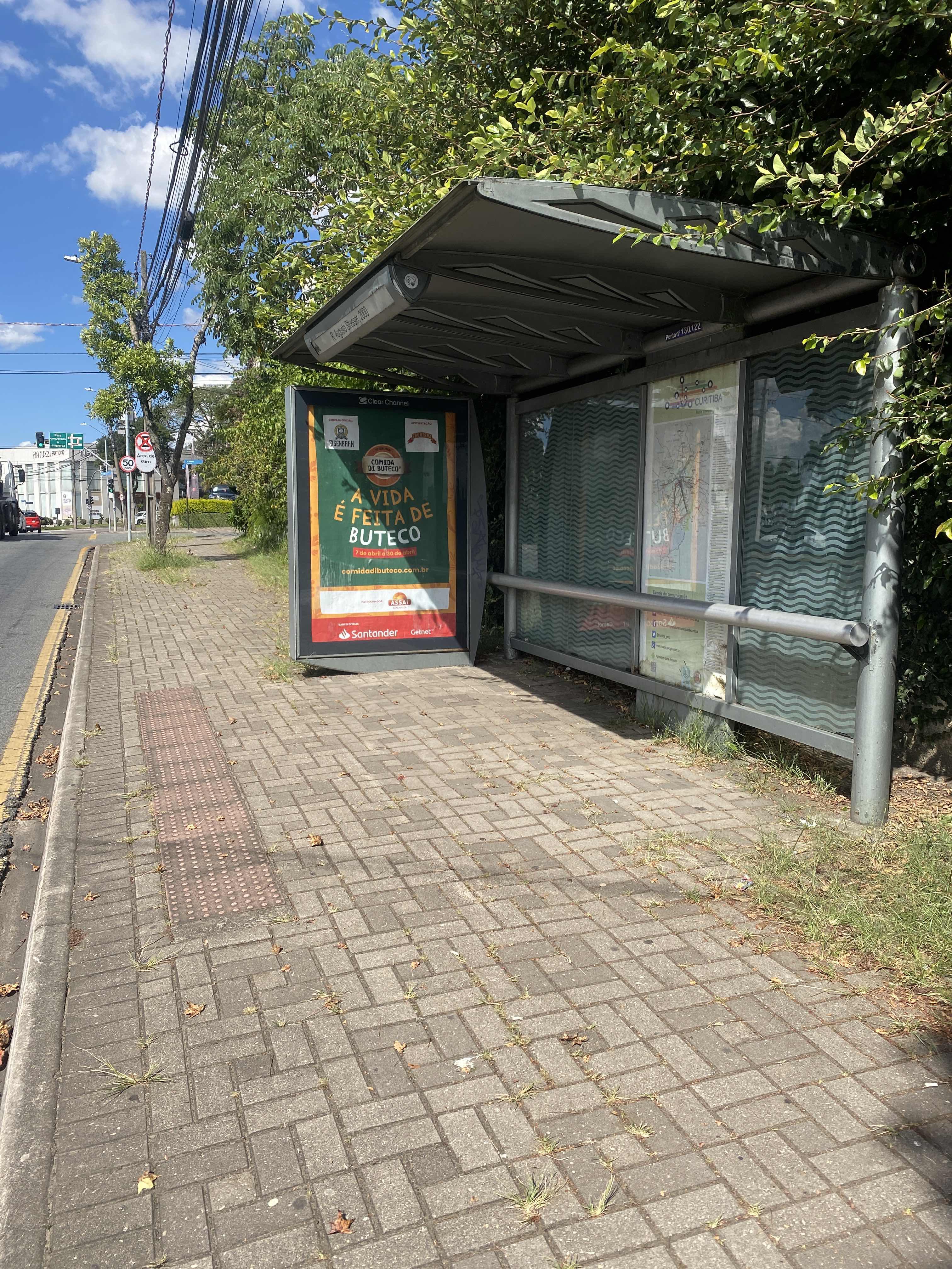 Taken by Anonymous
See R. Augusto Stresser, 2000 stop, Hugo Lange, on the map
Public transit to R. Augusto Stresser, 2000 stop (ID: 130122) in Hugo Lange
Looking for directions to R. Augusto Stresser, 2000 in Hugo Lange, Brazil?
Download the Moovit App to find the current schedule and step-by-step directions for Bus routes that pass through R. Augusto Stresser, 2000.
Looking for the nearest stops closest to R. Augusto Stresser, 2000 ? Check out this list of closest stops to your destination: R. Augusto Stresser; R. Augusto Stresser; Av. Nossa Senhora da Luz.
Bus: 020 INTERBAIRROS II (HORÁRIO), 021 INTERBAIRROS II (ANTI-HORÁRIO), 361 AUGUSTO STRESSER, 374 HUGO LANGE, B03 GUARAITUBA / ALTO DA XV (VIA MARACANÃ), 365 JARDIM SOCIAL / BATEL.
We make riding on public transit to R. Augusto Stresser, 2000 easy, which is why over 1.7 billion users, including users in Hugo Lange trust Moovit as the best app for public transit.
Use the app to navigate to popular places including to the airport, hospital, stadium, grocery store, mall, coffee shop, school, college, and university.
R. Augusto Stresser, 2000 stop’s code is 130122
The first line to this stop is 020 INTERBAIRROS II (HORÁRIO), at 5:21 AM, and the last line is 020 INTERBAIRROS II (HORÁRIO) at 12:23 AM.
2040 Rua Augusto Stresser, Curitiba, Brazil
This stop serves AMEP (Cartões bancários / Cartão MetroCard / Dinheiro) and URBS (Cartões bancários / Cartão URBS)’s lines
- R. Augusto Stresser, 1661,
- R. Augusto Stresser, 1800,
- Av. Nossa Senhora da Luz, 1900
Bus stops near R. Augusto Stresser, 2000 stop
- Rodovia Dos Minérios (Pr 092) - Brascal,
- Av. do Batel, 1889 (Hospital Santa Cruz),
- R. Jacy Loureiro dos Campos, 25 (Palácio das Araucárias),
- Passarela (São Judas Tadeu),
- Acesso Cimento Itambé,
- R. Rio Pelotas, 371,
- Hospital Do Rocio → Estação Ferrari,
- Terminal Campo Comprido,
- Av. do Batel, 1898 (Shopping Pátio Batel),
- Av. Rui Barbosa, 3329,
- R. José Izidoro Biazetto, 158,
- R. Fortaleza, 2193,
- Av. Dos Cardeais, 488,
- Rodovia Br 277 (Do Café) - Churrascaria Parada,
- R. Luiz Tramontin, 1345,
- Av. Visconde de Guarapuava, 5000,
- Av. Centenário Do Paraná, 777,
- Rua São Jorge, 60,
- Rua Herculano De Araújo Filho, 370,
- Av. Desembargador Hugo Simas, 1110
Popular public transit stations in Hugo Lange
Get around Hugo Lange by public transit!
Traveling around Hugo Lange has never been so easy. See step by step directions as you travel to any attraction, street or major public transit station. View bus and train schedules, arrival times, service alerts and detailed routes on a map, so you know exactly how to get to anywhere in Hugo Lange.
When traveling to any destination around Hugo Lange use Moovit's Live Directions with Get Off Notifications to know exactly where and how far to walk, how long to wait for your line, and how many stops are left. Moovit will alert you when it's time to get off — no need to constantly re-check whether yours is the next stop.
Wondering how to use public transit in Hugo Lange or how to pay for public transit in Hugo Lange? Moovit public transit app can help you navigate your way with public transit easily, and at minimum cost. It includes public transit fees, ticket prices, and costs. Looking for a map of Hugo Lange public transit lines? Moovit public transit app shows all public transit maps in Hugo Lange with all Bus and Cable Car routes and stops on an interactive map.
Curitiba Region has 2 transit type(s), including: Bus and Cable Car, operated by several transit agencies, including Sistema Integrado de Mobilidade (URBS), Sistema Integrado de Mobilidade (AMEP), URBS (Cartões bancários e Dinheiro), URBS (Cartões bancários / Cartão URBS), AMEP (Cartões bancários / Cartão MetroCard), AMEP (Cartões bancários / Cartão MetroCard / Dinheiro), Viação Colombo (Dinheiro), TRIAR (Cartão TRIAR / Dinheiro), Empresa Curitiba Cerro Azul (Dinheiro), Expresso Penha (Dinheiro), Empresa Campo Alto Tijucas (Dinheiro), Auto Viação São José (Cartão VEM / Dinheiro), BRT S/A (Cartão VEM / Dinheiro), TransPiedade (Cartão Cidadão / Dinheiro) and Oceânica Sul (Cartão Transporte / Dinheiro)