R. Beraldo Marcondes, 128 stop - Saturday schedule
| Line | Direction | Time |
|---|---|---|
| N341-11 | Vl. Cisper (CPTM USP) | 3:03 AM |
| N304-11 | Term. Aricanduva | 3:23 AM |
| 2702-10 | Metrô Artur Alvim | 4:01 AM |
| N304-11 | Term. Aricanduva | 4:03 AM |
| N341-11 | Vl. Cisper (CPTM USP) | 4:03 AM |
| 3301-10 | Term. Pq. D. Pedro II | 4:04 AM |
| 1178-10 | Pça. do Correio | 4:08 AM |
| 3459-10 | Term. Pq. D. Pedro II | 4:11 AM |
| 2626-10 | Term. Pq. D. Pedro II | 4:15 AM |
| 2702-10 | Metrô Artur Alvim | 4:16 AM |
| 2678-10 | Term. Pq. D. Pedro II | 4:17 AM |
| 3301-10 | Term. Pq. D. Pedro II | 4:23 AM |
| 1178-10 | Pça. do Correio | 4:23 AM |
| 3459-10 | Term. Pq. D. Pedro II | 4:26 AM |
| 2080-10 | Term. Aricanduva | 4:30 AM |
| 2766-10 | Metrô Itaquera | 4:30 AM |
| 2626-10 | Term. Pq. D. Pedro II | 4:30 AM |
| 2702-10 | Metrô Artur Alvim | 4:31 AM |
| 2772-10 | Metrô Penha | 4:36 AM |
| 2678-10 | Term. Pq. D. Pedro II | 4:37 AM |
| 1178-10 | Pça. do Correio | 4:38 AM |
| 3459-10 | Term. Pq. D. Pedro II | 4:38 AM |
| 273X-10 | Metrô Artur Alvim | 4:38 AM |
| 2666-10 | Term. Pq. D. Pedro II | 4:40 AM |
| 2031-10 | Term. A. E. Carvalho | 4:40 AM |
Directions to R. Beraldo Marcondes, 128 stop (São Miguel) with public transit
The following transit lines have routes that pass near R. Beraldo Marcondes, 128
 Bus: 038, 242, 2666-10, 2721-10, 2770-10.
- Train: LINHA 12.
How to get to R. Beraldo Marcondes, 128 stop by bus?
Click on the bus route to see step by step directions with maps, line arrival times and updated time schedules.
How to get to R. Beraldo Marcondes, 128 stop by train?
Click on the train route to see step by step directions with maps, line arrival times and updated time schedules.
Bus stops near R. Beraldo Marcondes, 128 stop in São Miguel
- Avenida Marechal Tito, 2 min walk,
- Avenida Marechal Tito, 402 - São Miguel Paulista, São Paulo, 2 min walk,
- R. Henrique de Paula Franca, 35, 3 min walk,
- R. Salvador de Medeiros, 288, 3 min walk,
- Rua Salvador de Medeiros, 315 - Ponto Final da Linha 073 - São Miguel Paulista, São Paulo, 4 min walk,
- Av. Nordestina, 43, 4 min walk,
- R. Amadeu Gamberini, 163, 4 min walk,
- Av. Nordestina, 51 - São Miguel Paulista, São Paulo, 4 min walk,
- Praça Padre Aleixo Monteiro Mafra 17, 6 min walk,
- R. Salvador de Medeiros, 11 min walk,
Train stations near R. Beraldo Marcondes, 128 station in São Miguel
- São Miguel Paulista, 6 min walk,
Bus lines to R. Beraldo Marcondes, 128 stop in São Miguel
- 263C-10, Jardim Helena - Cohab Ii,
- 273X-10, Jardim Das Oliveiras - Metrô Artur Alvim,
- N304-11, Terminal São Miguel - Terminal Aricanduva,
- N306-11, Terminal São Miguel - Metrô Itaquera,
- 307C-10, Conjunto Encosta Norte - Metrô Artur Alvim,
- 312N-10, Terminal Cidade Tiradentes - São Miguel Paulista,
- N341-11, Terminal São Miguel - Vila Cisper (Cptm Usp) (Circular),
- 1178-10, São Miguel - Praça Do Correio,
- 1178-31, São Miguel - Praça Do Correio,
- 1178-33, Praça Do Correio - São Miguel,
- 2005-10, Jardim Romano - São Miguel,
- 2017-10, Jardim Robru - São Miguel (Circular),
- 2018-10, Jardim Campos - São Miguel (Circular),
- 2076-10, Jardim Das Oliveiras - Terminal Penha,
- 2080-10, Cidade Kemel - Terminal Aricanduva,
- 2626-10, Jardim Nazaré - Terminal Parque Dom Pedro Ii,
- 2666-10, Jardim Camargo Velho - Terminal Parque Dom Pedro Ii,
- 2678-10, Oliveirinha - Terminal Parque Dom Pedro Ii,
- 2721-10, Jardim Nazaré - Metrô Itaquera,
- 2770-10, Cptm José Bonifácio - Metrô Vila Matilde,
What are the closest stations to R. Beraldo Marcondes, 128?
The closest stations to R. Beraldo Marcondes, 128 are:
- Avenida Marechal Tito stop is 126 meters away, 2 min walk.
- Avenida Marechal Tito, 402 - São Miguel Paulista, São Paulo stop is 126 meters away, 2 min walk.
- R. Henrique de Paula Franca, 35 stop is 196 meters away, 3 min walk.
- R. Salvador de Medeiros, 288 stop is 225 meters away, 3 min walk.
- Rua Salvador de Medeiros, 315 - Ponto Final da Linha 073 - São Miguel Paulista, São Paulo stop is 261 meters away, 4 min walk.
- Av. Nordestina, 43 stop is 295 meters away, 4 min walk.
- R. Amadeu Gamberini, 163 stop is 295 meters away, 4 min walk.
- Av. Nordestina, 51 - São Miguel Paulista, São Paulo stop is 300 meters away, 4 min walk.
- Praça Padre Aleixo Monteiro Mafra 17 stop is 453 meters away, 6 min walk.
- São Miguel Paulista station is 461 meters away, 6 min walk.
- R. Salvador de Medeiros stop is 796 meters away, 11 min walk.
Which bus lines stop near R. Beraldo Marcondes, 128?
These bus lines stop near R. Beraldo Marcondes, 128: 038, 242, 2666-10, 2721-10, 2770-10, 319, 352A-10, 549.
Which train line stops near R. Beraldo Marcondes, 128?
LINHA 12 (Calmon Viana)
What’s the nearest train station to R. Beraldo Marcondes, 128 in São Miguel?
The nearest train station to R. Beraldo Marcondes, 128 in São Miguel is São Miguel Paulista. It’s a 6 min walk away.
What’s the nearest bus station to R. Beraldo Marcondes, 128 in São Miguel?
The nearest bus stations to R. Beraldo Marcondes, 128 in São Miguel are Avenida Marechal Tito and Avenida Marechal Tito, 402 - São Miguel Paulista, São Paulo. The closest one is a 2 min walk away.
What time is the first train to R. Beraldo Marcondes, 128 in São Miguel?
The LINHA 12 is the first train that goes to R. Beraldo Marcondes, 128 in São Miguel. It stops nearby at 4:07 AM.
What time is the last train to R. Beraldo Marcondes, 128 in São Miguel?
The LINHA 12 is the last train that goes to R. Beraldo Marcondes, 128 in São Miguel. It stops nearby at 12:29 AM.
What time is the first bus to R. Beraldo Marcondes, 128 in São Miguel?
The N306-11 is the first bus that goes to R. Beraldo Marcondes, 128 in São Miguel. It stops nearby at 3:00 AM.
What time is the last bus to R. Beraldo Marcondes, 128 in São Miguel?
The N331-11 is the last bus that goes to R. Beraldo Marcondes, 128 in São Miguel. It stops nearby at 3:58 AM.
R. Beraldo Marcondes, 128 station
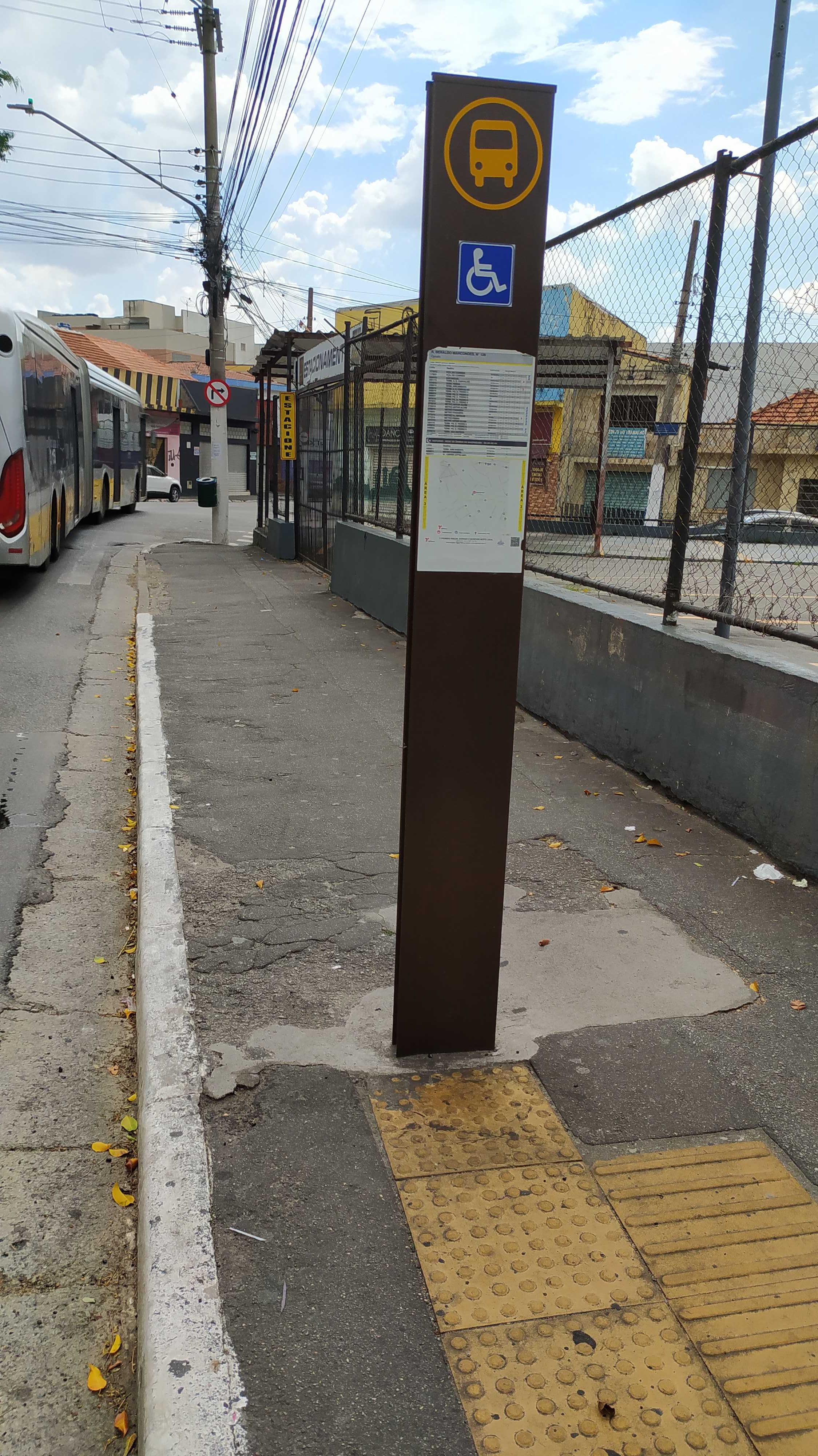 Taken by Anonymous
See R. Beraldo Marcondes, 128 stop, São Miguel, on the map
Public transit to R. Beraldo Marcondes, 128 stop in São Miguel
Looking for directions to R. Beraldo Marcondes, 128 in São Miguel, Brazil?
Download the Moovit App to find the current schedule and step-by-step directions for Bus or Train routes that pass through R. Beraldo Marcondes, 128.
Looking for the nearest stops closest to R. Beraldo Marcondes, 128 ? Check out this list of closest stops to your destination: Avenida Marechal Tito; Avenida Marechal Tito; R. Henrique de Paula Franca; R. Salvador de Medeiros; Rua Salvador de Medeiros; Av. Nordestina; R. Amadeu Gamberini; Av. Nordestina; Praça Padre Aleixo Monteiro Mafra 17; São Miguel Paulista; R. Salvador de Medeiros.
Bus: 038, 242, 2666-10, 2721-10, 2770-10, 319, 352A-10, 549, 075, 589, 263C-10, 273X-10, N304-11, N306-11, 307C-10, 2582-10, 2583-10, 2723-10, 2059-10, 073.Train: LINHA 12.
We make riding on public transit to R. Beraldo Marcondes, 128 easy, which is why over 1.7 billion users, including users in São Miguel trust Moovit as the best app for public transit.
Use the app to navigate to popular places including to the airport, hospital, stadium, grocery store, mall, coffee shop, school, college, and university.
The first line to this stop is N341-11, at 3:03 AM, and the last line is N304-11 at 2:43 AM.
55 Rua Henrique De Paula Franca, São Paulo, Brazil
This stop serves SPTrans’s lines
- Avenida Marechal Tito,
- Avenida Marechal Tito, 402 - São Miguel Paulista, São Paulo,
- R. Henrique de Paula Franca, 35,
- R. Salvador de Medeiros, 288,
- Rua Salvador de Medeiros, 315 - Ponto Final da Linha 073 - São Miguel Paulista, São Paulo,
- Av. Nordestina, 43,
- R. Amadeu Gamberini, 163,
- Av. Nordestina, 51 - São Miguel Paulista, São Paulo,
- Praça Padre Aleixo Monteiro Mafra 17,
- R. Salvador de Medeiros
Bus stops near R. Beraldo Marcondes, 128 stop
- São Miguel Paulista
Train station near R. Beraldo Marcondes, 128 station
- Rua Doutor Bento Teobaldo Ferraz,
- Ac. Area de Apoio Bandeirantes,
- R. Cerro Cora, 613,
- Av. Dos Eucaliptos, 740 • Metrô Eucaliptos,
- R. da Glória, 138,
- Av. Cupece, 5919,
- Av. dos Funcionários Públicos, 379,
- Av. Pres. Juscelino Kubitschek, 180,
- R. Gustav Willi Borghoff, 480,
- Terminal Metropolitano Luiz Bortolosso / Km 21,
- Rua Ibitirama 197,
- Parada Castelo Branco,
- Conjunto Maria Luiza,
- Rua Coronel Xavier de Toledo, 220,
- Terminal Olaria Do Nino,
- Avenida Presidente Castelo Branco (N. 5000),
- Avenida Presidente Castelo Branco (Km 15),
- Av. Giovanni Gronchi, 6195,
- Av. Raimundo Pereira de Magalhães, 3303,
- Br-116 Rod. Régis Bittencourt, Km 286,4 Sul
Popular public transit stations in São Miguel
Get around São Miguel by public transit!
Traveling around São Miguel has never been so easy. See step by step directions as you travel to any attraction, street or major public transit station. View bus and train schedules, arrival times, service alerts and detailed routes on a map, so you know exactly how to get to anywhere in São Miguel.
When traveling to any destination around São Miguel use Moovit's Live Directions with Get Off Notifications to know exactly where and how far to walk, how long to wait for your line, and how many stops are left. Moovit will alert you when it's time to get off — no need to constantly re-check whether yours is the next stop.
Wondering how to use public transit in São Miguel or how to pay for public transit in São Miguel? Moovit public transit app can help you navigate your way with public transit easily, and at minimum cost. It includes public transit fees, ticket prices, and costs. Looking for a map of São Miguel public transit lines? Moovit public transit app shows all public transit maps in São Miguel with all Bus, Train, Metro, Light Rail, Ferry, Gondola, Cable Car and Funicular routes and stops on an interactive map.
Sao Paulo Region has 8 transit type(s), including: Bus, Train, Metro, Light Rail, Ferry, Gondola, Cable Car and Funicular, operated by several transit agencies, including SPTrans, CPTM, ViaMobilidade, Aquático SP, SPTRANS, EMTU, ViaQuatro, Auto Ônibus Moratense, GRU Airport (Aeroporto de Guarulhos), Auto Viação Urubupungá (Cajamar), Viação Cometa, Auto Viação Urubupungá (Osasco), Viação Ultra / Rápido Brasil, Auto Viação Urubupungá (Santana de Parnaíba) and Expresso Luxo