R. Bsa. Porto Carreiro, 76 stop - Monday schedule
| Line | Direction | Time |
|---|---|---|
| N202-11 | Metrô Santana | 3:12 AM |
| N202-11 | Metrô Santana | 3:52 AM |
| N202-11 | Metrô Santana | 4:32 AM |
| 148P-10 | Pedra Branca | 4:53 AM |
| 148P-10 | Pedra Branca | 5:09 AM |
| 148P-10 | Pedra Branca | 5:29 AM |
| 148P-10 | Pedra Branca | 5:49 AM |
| 208M-10 | Metrô Santana | 5:50 AM |
| 148P-10 | Pedra Branca | 6:09 AM |
| 208M-10 | Metrô Santana | 6:15 AM |
| 177H-10 | Metrô Santana | 6:22 AM |
| 148P-10 | Pedra Branca | 6:24 AM |
| 175P-10 | Metrô Santana | 6:28 AM |
| 148P-10 | Pedra Branca | 6:34 AM |
| 208M-10 | Metrô Santana | 6:35 AM |
| 175P-10 | Metrô Santana | 6:43 AM |
| 148P-10 | Pedra Branca | 6:44 AM |
| 177H-10 | Metrô Santana | 6:47 AM |
| 208M-10 | Metrô Santana | 6:50 AM |
| 175P-10 | Metrô Santana | 6:53 AM |
| 148P-10 | Pedra Branca | 6:54 AM |
| 175P-10 | Metrô Santana | 7:03 AM |
| 148P-10 | Pedra Branca | 7:05 AM |
| 208M-10 | Metrô Santana | 7:06 AM |
| 177H-10 | Metrô Santana | 7:09 AM |
Directions to R. Bsa. Porto Carreiro, 76 stop (Santa Cecília) with public transit
The following transit lines have routes that pass near R. Bsa. Porto Carreiro, 76
 Bus: 148P-10, 1732-10, 175P-10, 177H-10, 178L-10.
- Metro: LINHA 3.
- Train: LINHA 10, LINHA 11, LINHA 8, LINHA 7, 13 - JADE.
How to get to R. Bsa. Porto Carreiro, 76 stop by bus?
Click on the bus route to see step by step directions with maps, line arrival times and updated time schedules.
How to get to R. Bsa. Porto Carreiro, 76 stop by train?
Click on the train route to see step by step directions with maps, line arrival times and updated time schedules.
How to get to R. Bsa. Porto Carreiro, 76 stop by metro?
Click on the metro route to see step by step directions with maps, line arrival times and updated time schedules.
Metro stations near R. Bsa. Porto Carreiro, 76 station in Santa Cecília
- Marechal Deodoro, 2 min walk,
Bus stops near R. Bsa. Porto Carreiro, 76 stop in Santa Cecília
- Solimões, 4 min walk,
- Rua Salesópolis 44, 5 min walk,
- Anhanguera B/C - Barra Funda, São Paulo, 6 min walk,
- R. Neves de Carvalho, 780, 6 min walk,
- Anhanguera B/C, 6 min walk,
- Av. Dr. Abraão Ribeiro, 526, 6 min walk,
- R. Norma Pieruccini Giannotti, 8 min walk,
- Rua Padre Luís Alves de Siqueira 668, 9 min walk,
Train stations near R. Bsa. Porto Carreiro, 76 station in Santa Cecília
- Júlio Prestes, 13 min walk,
- Palmeiras-Barra Funda, 31 min walk,
Bus lines to R. Bsa. Porto Carreiro, 76 stop in Santa Cecília
- 178L-10, Hosp. das Clínicas,
- N207-11, Term. Pq. D. Pedro II,
- 967A-10, Pinheiros,
- 1732-10, Vl. Sabrina,
- 8538-10, Pça. do Correio,
- 9301-10, Term. Casa Verde,
- 9354-10, Term. Cachoeirinha,
- 818, Sao Paulo (Metro Armenia),
- 231, Osasco (Jardim Elvira),
- 231BI1, Osasco (Munhoz Junior),
- 311C-10, Bom Retiro,
- N101-11, Terminal Lapa - Terminal Parque Dom Pedro Ii,
- 129F-41, Conexão Petrônio Portela - Praça Do Correio,
- 8544-10, Cidade D'abril 3ª Gleba - Praça Do Correio,
- 8600-10, Terminal Pirituba - Largo Do Paissandu,
- 8600-22, Vila Iório - Largo Do Paissandu,
- 9300-10, Terminal Casa Verde - Terminal Parque Dom Pedro Ii,
- 9500-10, Terminal Cachoeirinha - Praça Do Correio,
- 9501-10, Terminal Cachoeirinha - Largo Do Paissandu,
- 9653-10, Pedra Branca - Praça Do Correio,
What are the closest stations to R. Bsa. Porto Carreiro, 76?
The closest stations to R. Bsa. Porto Carreiro, 76 are:
- Marechal Deodoro station is 109 meters away, 2 min walk.
- Solimões stop is 233 meters away, 4 min walk.
- Rua Salesópolis 44 stop is 361 meters away, 5 min walk.
- Anhanguera B/C - Barra Funda, São Paulo stop is 399 meters away, 6 min walk.
- R. Neves de Carvalho, 780 stop is 406 meters away, 6 min walk.
- Anhanguera B/C stop is 412 meters away, 6 min walk.
- Av. Dr. Abraão Ribeiro, 526 stop is 417 meters away, 6 min walk.
- R. Norma Pieruccini Giannotti stop is 594 meters away, 8 min walk.
- Rua Padre Luís Alves de Siqueira 668 stop is 629 meters away, 9 min walk.
- Júlio Prestes station is 950 meters away, 13 min walk.
- Palmeiras-Barra Funda station is 2348 meters away, 31 min walk.
Which bus lines stop near R. Bsa. Porto Carreiro, 76?
These bus lines stop near R. Bsa. Porto Carreiro, 76: 148P-10, 1732-10, 175P-10, 177H-10, 178L-10, 208M-10, 311C-10, 9301-10, 9354-10, 967A-10.
Which metro line stops near R. Bsa. Porto Carreiro, 76?
LINHA 3 (Palmeiras-Barra Funda)
Which train lines stop near R. Bsa. Porto Carreiro, 76?
These train lines stop near R. Bsa. Porto Carreiro, 76: LINHA 10, LINHA 11, LINHA 8.
What’s the nearest metro station to R. Bsa. Porto Carreiro, 76 in Santa Cecília?
The nearest metro station to R. Bsa. Porto Carreiro, 76 in Santa Cecília is Marechal Deodoro. It’s a 2 min walk away.
What’s the nearest train station to R. Bsa. Porto Carreiro, 76 in Santa Cecília?
The nearest train station to R. Bsa. Porto Carreiro, 76 in Santa Cecília is Júlio Prestes. It’s a 13 min walk away.
What’s the nearest bus station to R. Bsa. Porto Carreiro, 76 in Santa Cecília?
The nearest bus station to R. Bsa. Porto Carreiro, 76 in Santa Cecília is Solimões. It’s a 4 min walk away.
What time is the first metro to R. Bsa. Porto Carreiro, 76 in Santa Cecília?
The LINHA 3 is the first metro that goes to R. Bsa. Porto Carreiro, 76 in Santa Cecília. It stops nearby at 4:40 AM.
What time is the last metro to R. Bsa. Porto Carreiro, 76 in Santa Cecília?
The LINHA 3 is the last metro that goes to R. Bsa. Porto Carreiro, 76 in Santa Cecília. It stops nearby at 12:51 AM.
What time is the first train to R. Bsa. Porto Carreiro, 76 in Santa Cecília?
The LINHA 8 is the first train that goes to R. Bsa. Porto Carreiro, 76 in Santa Cecília. It stops nearby at 4:00 AM.
What time is the last train to R. Bsa. Porto Carreiro, 76 in Santa Cecília?
The LINHA 11 is the last train that goes to R. Bsa. Porto Carreiro, 76 in Santa Cecília. It stops nearby at 1:05 AM.
What time is the first bus to R. Bsa. Porto Carreiro, 76 in Santa Cecília?
The N101-11 is the first bus that goes to R. Bsa. Porto Carreiro, 76 in Santa Cecília. It stops nearby at 3:04 AM.
What time is the last bus to R. Bsa. Porto Carreiro, 76 in Santa Cecília?
The N202-11 is the last bus that goes to R. Bsa. Porto Carreiro, 76 in Santa Cecília. It stops nearby at 3:11 AM.
R. Bsa. Porto Carreiro, 76 station
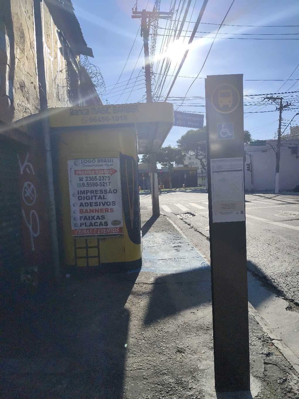 Taken by Anonymous
See R. Bsa. Porto Carreiro, 76 stop, Santa Cecília, on the map
Public transit to R. Bsa. Porto Carreiro, 76 stop in Santa Cecília
Looking for directions to R. Bsa. Porto Carreiro, 76 in Santa Cecília, Brazil?
Download the Moovit App to find the current schedule and step-by-step directions for Bus, Metro or Train routes that pass through R. Bsa. Porto Carreiro, 76.
Looking for the nearest stops closest to R. Bsa. Porto Carreiro, 76 ? Check out this list of closest stops to your destination: Marechal Deodoro; Solimões; Rua Salesópolis 44; Anhanguera B/C - Barra Funda; R. Neves de Carvalho; Anhanguera B/C; Av. Dr. Abraão Ribeiro; R. Norma Pieruccini Giannotti; Rua Padre Luís Alves de Siqueira 668; Júlio Prestes; Palmeiras-Barra Funda.
Bus: 148P-10, 1732-10, 175P-10, 177H-10, 178L-10, 208M-10, 311C-10, 9301-10, 9354-10, 967A-10, N207-11, 8538-10, 818, 231, 231BI1.Metro: LINHA 3.Train: LINHA 10, LINHA 11, LINHA 8, LINHA 7, 13 - JADE.
We make riding on public transit to R. Bsa. Porto Carreiro, 76 easy, which is why over 1.7 billion users, including users in Santa Cecília trust Moovit as the best app for public transit.
Use the app to navigate to popular places including to the airport, hospital, stadium, grocery store, mall, coffee shop, school, college, and university.
The first line to this stop is N202-11, at 3:12 AM, and the last line is N202-11 at 2:32 AM.
939 Rua Anhanguera, São Paulo, Brazil
This stop serves SPTrans’s lines
- Marechal Deodoro
Metro station near R. Bsa. Porto Carreiro, 76 station
- Solimões,
- Rua Salesópolis 44,
- Anhanguera B/C - Barra Funda, São Paulo,
- R. Neves de Carvalho, 780,
- Anhanguera B/C,
- Av. Dr. Abraão Ribeiro, 526,
- R. Norma Pieruccini Giannotti,
- Rua Padre Luís Alves de Siqueira 668
Bus stops near R. Bsa. Porto Carreiro, 76 stop
- Júlio Prestes,
- Palmeiras-Barra Funda
Train stations near R. Bsa. Porto Carreiro, 76 station
- Rua Joaquim Guimarães, 385,
- R. Visc. de Abaete, 79,
- Av. Eng. Euzébio Stevaux, 823,
- R. Manuel da Mota Coutinho, 996,
- Av. Eng. Caetano Alvares, 4244,
- Aracaré,
- Avenida Charles Goodyear, 65,
- Av. Moema, 81,
- Jundiaí,
- Avenida Marechal Tito 6037,
- Avenida Doutor Guilherme Dumont Vilares 1030,
- Av. Miguel Conejo, 998,
- Av. Escola Politécnica,
- Transporte Coletivo Privado,
- Ac. Area de Apoio Bandeirantes,
- Av Aprigio Bezerra da Silva,
- Av. Amadeu da Silva Samelo, 423,
- Parada Matriz (São Bernardo),
- Terminal Jardim 1º De Maio
Popular public transit stations in Santa Cecília
Get around Santa Cecília by public transit!
Traveling around Santa Cecília has never been so easy. See step by step directions as you travel to any attraction, street or major public transit station. View bus and train schedules, arrival times, service alerts and detailed routes on a map, so you know exactly how to get to anywhere in Santa Cecília.
When traveling to any destination around Santa Cecília use Moovit's Live Directions with Get Off Notifications to know exactly where and how far to walk, how long to wait for your line, and how many stops are left. Moovit will alert you when it's time to get off — no need to constantly re-check whether yours is the next stop.
Wondering how to use public transit in Santa Cecília or how to pay for public transit in Santa Cecília? Moovit public transit app can help you navigate your way with public transit easily, and at minimum cost. It includes public transit fees, ticket prices, and costs. Looking for a map of Santa Cecília public transit lines? Moovit public transit app shows all public transit maps in Santa Cecília with all Bus, Train, Metro, Light Rail, Ferry, Gondola, Cable Car and Funicular routes and stops on an interactive map.
Sao Paulo Region has 8 transit type(s), including: Bus, Train, Metro, Light Rail, Ferry, Gondola, Cable Car and Funicular, operated by several transit agencies, including SPTrans, CPTM, ViaMobilidade, Aquático SP, SPTRANS, EMTU, ViaQuatro, Auto Ônibus Moratense, GRU Airport (Aeroporto de Guarulhos), Auto Viação Urubupungá (Cajamar), Viação Cometa, Auto Viação Urubupungá (Osasco), Viação Ultra / Rápido Brasil, Auto Viação Urubupungá (Santana de Parnaíba) and Expresso Luxo