R. Caopiá, 31 stop - Monday schedule
| Line | Direction | Time |
|---|---|---|
| N533-11 | Jd. Planalto | 3:19 AM |
| 5025-10 | Metrô Tamanduateí | 4:24 AM |
| 476G-10 | Ibirapuera | 4:31 AM |
| 4033-10 | Nova Conquista | 4:31 AM |
| 5025-10 | Metrô Tamanduateí | 4:44 AM |
| 4033-10 | Nova Conquista | 4:46 AM |
| 476G-10 | Ibirapuera | 5:01 AM |
| 4033-10 | Nova Conquista | 5:01 AM |
| 5025-10 | Metrô Tamanduateí | 5:04 AM |
| 4033-10 | Nova Conquista | 5:13 AM |
| 5025-10 | Metrô Tamanduateí | 5:14 AM |
| N533-11 | Jd. Planalto | 5:20 AM |
| 5025-10 | Metrô Tamanduateí | 5:24 AM |
| 4033-10 | Nova Conquista | 5:25 AM |
| 476G-10 | Ibirapuera | 5:33 AM |
| 5025-10 | Metrô Tamanduateí | 5:34 AM |
| 4033-10 | Nova Conquista | 5:37 AM |
| 5025-10 | Metrô Tamanduateí | 5:49 AM |
| 4033-10 | Nova Conquista | 5:49 AM |
| 476G-10 | Ibirapuera | 5:58 AM |
| 4033-10 | Nova Conquista | 6:01 AM |
| 5025-10 | Metrô Tamanduateí | 6:04 AM |
| 4033-10 | Nova Conquista | 6:11 AM |
| 5025-10 | Metrô Tamanduateí | 6:12 AM |
| 4033-10 | Nova Conquista | 6:21 AM |
Directions to R. Caopiá, 31 stop (São Lucas) with public transit
The following transit lines have routes that pass near R. Caopiá, 31
 Bus: 101, 4033-10, 476G-10, 476G-41, 476G-21.
- Metro: LINHA 15.
- Train: LINHA 10.
How to get to R. Caopiá, 31 stop by bus?
Click on the bus route to see step by step directions with maps, line arrival times and updated time schedules.
How to get to R. Caopiá, 31 stop by train?
Click on the train route to see step by step directions with maps, line arrival times and updated time schedules.
How to get to R. Caopiá, 31 stop by metro?
Click on the metro route to see step by step directions with maps, line arrival times and updated time schedules.
Bus stops near R. Caopiá, 31 stop in São Lucas
- R. Caopiá, 249, 1 min walk,
- R. Antônio Marques Julião, 465, 2 min walk,
- R. Jacitara Tipiti, 209, 4 min walk,
- R. Lisa Ansorge, 247, 4 min walk,
- R. Balata, 35, 4 min walk,
- R. Costa Barros, 2657 - Sítio Pinheirinho, São Paulo, 5 min walk,
Metro stations near R. Caopiá, 31 station in São Lucas
- Camilo Haddad, 28 min walk,
Train stations near R. Caopiá, 31 station in São Lucas
- Utinga, 62 min walk,
Bus lines to R. Caopiá, 31 stop in São Lucas
- 476G-10, Jd. Elba,
- 476G-21, Ipiranga,
- N533-11, Jd. Planalto,
- 476G-41, Vl. Industrial,
- 513C-10, Vl. Califórnia,
- 513C-31, E.T. Itaquera,
- 4033-10, Nova Conquista,
- 5025-10, Jd. Guairacá,
- 4286-10, Term. Vl Prudente,
- 373M-10, Shop. Metrô Tatuapé,
- 101, Sao Paulo (Vila das Olarias),
What are the closest stations to R. Caopiá, 31?
The closest stations to R. Caopiá, 31 are:
- R. Caopiá, 249 stop is 15 meters away, 1 min walk.
- R. Antônio Marques Julião, 465 stop is 71 meters away, 2 min walk.
- R. Jacitara Tipiti, 209 stop is 238 meters away, 4 min walk.
- R. Lisa Ansorge, 247 stop is 285 meters away, 4 min walk.
- R. Balata, 35 stop is 292 meters away, 4 min walk.
- R. Costa Barros, 2657 - Sítio Pinheirinho, São Paulo stop is 373 meters away, 5 min walk.
- Camilo Haddad station is 2189 meters away, 28 min walk.
- Utinga station is 4853 meters away, 62 min walk.
Which bus lines stop near R. Caopiá, 31?
These bus lines stop near R. Caopiá, 31: 101, 4033-10, 476G-10, 476G-41.
Which metro line stops near R. Caopiá, 31?
LINHA 15 (São Mateus)
Which train line stops near R. Caopiá, 31?
LINHA 10 (Rio Grande da Serra)
What’s the nearest metro station to R. Caopiá, 31 in São Lucas?
The nearest metro station to R. Caopiá, 31 in São Lucas is Camilo Haddad. It’s a 28 min walk away.
What’s the nearest bus station to R. Caopiá, 31 in São Lucas?
The nearest bus station to R. Caopiá, 31 in São Lucas is R. Caopiá, 249. It’s a 1 min walk away.
What time is the first metro to R. Caopiá, 31 in São Lucas?
The LINHA 15 is the first metro that goes to R. Caopiá, 31 in São Lucas. It stops nearby at 4:48 AM.
What time is the last metro to R. Caopiá, 31 in São Lucas?
The LINHA 15 is the last metro that goes to R. Caopiá, 31 in São Lucas. It stops nearby at 12:18 AM.
What time is the first train to R. Caopiá, 31 in São Lucas?
The LINHA 10 is the first train that goes to R. Caopiá, 31 in São Lucas. It stops nearby at 4:23 AM.
What time is the last train to R. Caopiá, 31 in São Lucas?
The LINHA 10 is the last train that goes to R. Caopiá, 31 in São Lucas. It stops nearby at 12:28 AM.
What time is the first bus to R. Caopiá, 31 in São Lucas?
The N533-11 is the first bus that goes to R. Caopiá, 31 in São Lucas. It stops nearby at 3:17 AM.
What time is the last bus to R. Caopiá, 31 in São Lucas?
The N533-11 is the last bus that goes to R. Caopiá, 31 in São Lucas. It stops nearby at 3:18 AM.
R. Caopiá, 31 station
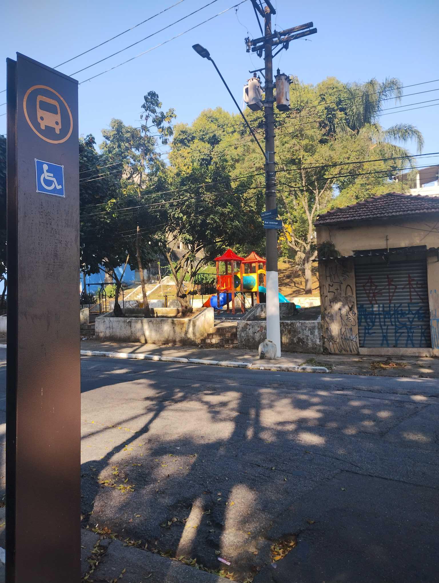 Taken by Anonymous
See R. Caopiá, 31 stop, São Lucas, on the map
Public transit to R. Caopiá, 31 stop in São Lucas
Looking for directions to R. Caopiá, 31 in São Lucas, Brazil?
Download the Moovit App to find the current schedule and step-by-step directions for Bus, Metro or Train routes that pass through R. Caopiá, 31.
Looking for the nearest stops closest to R. Caopiá, 31 ? Check out this list of closest stops to your destination: R. Caopiá; R. Antônio Marques Julião; R. Jacitara Tipiti; R. Lisa Ansorge; R. Balata; R. Costa Barros; Camilo Haddad; Utinga.
Bus: 101, 4033-10, 476G-10, 476G-41, 476G-21, N533-11, 513C-10, 513C-31, 5025-10, 4286-10.Metro: LINHA 15.Train: LINHA 10.
We make riding on public transit to R. Caopiá, 31 easy, which is why over 1.7 billion users, including users in São Lucas trust Moovit as the best app for public transit.
Use the app to navigate to popular places including to the airport, hospital, stadium, grocery store, mall, coffee shop, school, college, and university.
The first line to this stop is N533-11, at 3:19 AM, and the last line is N533-11 at 1:19 AM.
Rua Caopiá, São Paulo, Brazil
This stop serves SPTrans’s lines
- R. Caopiá, 249,
- R. Antônio Marques Julião, 465,
- R. Jacitara Tipiti, 209,
- R. Lisa Ansorge, 247,
- R. Balata, 35,
- R. Costa Barros, 2657 - Sítio Pinheirinho, São Paulo
Bus stops near R. Caopiá, 31 stop
- Camilo Haddad
Metro station near R. Caopiá, 31 station
- Utinga
Train station near R. Caopiá, 31 station
- Av. Agenor Couto de Magalhães, 1470,
- Avenida Brigadeiro Luís Antônio 2337,
- Estrada Mogi-Salesopolis,
- Estrada Mogi-Salesopolis (Km 66),
- Av. Jabaquara, 2604,
- Rua Pedra Azul, 314,
- R. Manuel Rodrigues Santiago, 200,
- Parada Gpa,
- Parada 1 - Granja Julieta C/B,
- Av. Esperantina, 1171,
- Marina Cintra C/B,
- Av. Washington Luiz, 1277,
- R. Cerro Cora, 613,
- Av. Imirim, 1180,
- Paraíso,
- Avenida Quinze De Novembro 528,
- Chácara Klabin,
- R. Alcântara, 113,
- Parada Hotel Unique,
- Terminal Amaral Gurgel
Popular public transit stations in São Lucas
Get around São Lucas by public transit!
Traveling around São Lucas has never been so easy. See step by step directions as you travel to any attraction, street or major public transit station. View bus and train schedules, arrival times, service alerts and detailed routes on a map, so you know exactly how to get to anywhere in São Lucas.
When traveling to any destination around São Lucas use Moovit's Live Directions with Get Off Notifications to know exactly where and how far to walk, how long to wait for your line, and how many stops are left. Moovit will alert you when it's time to get off — no need to constantly re-check whether yours is the next stop.
Wondering how to use public transit in São Lucas or how to pay for public transit in São Lucas? Moovit public transit app can help you navigate your way with public transit easily, and at minimum cost. It includes public transit fees, ticket prices, and costs. Looking for a map of São Lucas public transit lines? Moovit public transit app shows all public transit maps in São Lucas with all Bus, Train, Metro, Light Rail, Ferry, Gondola, Cable Car and Funicular routes and stops on an interactive map.
Sao Paulo Region has 8 transit type(s), including: Bus, Train, Metro, Light Rail, Ferry, Gondola, Cable Car and Funicular, operated by several transit agencies, including SPTrans, CPTM, ViaMobilidade, Aquático SP, SPTRANS, EMTU, ViaQuatro, Auto Ônibus Moratense, GRU Airport (Aeroporto de Guarulhos), Auto Viação Urubupungá (Cajamar), Viação Cometa, Auto Viação Urubupungá (Osasco), Viação Ultra / Rápido Brasil, Auto Viação Urubupungá (Santana de Parnaíba) and Expresso Luxo