R. Cap. Pucci, 400 stop - Wednesday schedule
| Line | Direction | Time |
|---|---|---|
| N305-11 | Term. São Miguel | 3:33 AM |
| N334-11 | CPTM Guaianases | 3:46 AM |
| 2202-10 | Jd. das Oliveiras | 3:58 AM |
| 263C-10 | Jd. Helena | 3:59 AM |
| 2004-10 | Jd. Nsa. Sra. do Caminho | 4:05 AM |
| 2202-10 | Jd. das Oliveiras | 4:08 AM |
| 2201-10 | Div. de Ferraz | 4:13 AM |
| 2004-10 | Jd. Nsa. Sra. do Caminho | 4:15 AM |
| 2202-10 | Jd. das Oliveiras | 4:17 AM |
| 3902-10 | CPTM Jd. Romano | 4:23 AM |
| 2004-10 | Jd. Nsa. Sra. do Caminho | 4:25 AM |
| 2202-10 | Jd. das Oliveiras | 4:25 AM |
| 2201-10 | Div. de Ferraz | 4:28 AM |
| 263C-10 | Jd. Helena | 4:29 AM |
| 2004-10 | Jd. Nsa. Sra. do Caminho | 4:30 AM |
| 2202-10 | Jd. das Oliveiras | 4:32 AM |
| 2058-10 | Term. São Miguel | 4:37 AM |
| 2202-10 | Jd. das Oliveiras | 4:38 AM |
| 2201-10 | Div. de Ferraz | 4:39 AM |
| 2004-10 | Jd. Nsa. Sra. do Caminho | 4:41 AM |
| 312N-10 | São Miguel Paulista | 4:41 AM |
| 2202-10 | Jd. das Oliveiras | 4:42 AM |
| 2004-10 | Jd. Nsa. Sra. do Caminho | 4:47 AM |
| 2202-10 | Jd. das Oliveiras | 4:51 AM |
| 2201-10 | Div. de Ferraz | 4:51 AM |
Directions to R. Cap. Pucci, 400 stop (Lajeado) with public transit
The following transit lines have routes that pass near R. Cap. Pucci, 400
 Bus: 2059-10, 2202-10, 263C-10, 269, 2705-10.
- Train: LINHA 11.
How to get to R. Cap. Pucci, 400 stop by bus?
Click on the bus route to see step by step directions with maps, line arrival times and updated time schedules.
How to get to R. Cap. Pucci, 400 stop by train?
Click on the train route to see step by step directions with maps, line arrival times and updated time schedules.
Bus stops near R. Cap. Pucci, 400 stop in Lajeado
- Rua Capitão Pucci 307, 1 min walk,
- R. Gaspar Aranha, 77, 3 min walk,
- R. Gaspar Aranha, 79, 3 min walk,
- R. Cap. Pucci 126, 3 min walk,
- R. Getulina, 98 - Guaianases, São Paulo, 4 min walk,
- Rua Caranaiba, 8 min walk,
Train stations near R. Cap. Pucci, 400 station in Lajeado
- Guaianases, 18 min walk,
Bus lines to R. Cap. Pucci, 400 stop in Lajeado
- 263C-10, Jardim Helena - Cohab Ii,
- N305-11, Terminal São Miguel - Cptm Guaianases,
- 312N-10, Terminal Cidade Tiradentes - São Miguel Paulista,
- N334-11, Terminal A. E. Carvalho - Cptm Guaianases,
- 2705-10, Jardim Fanganielo - Metrô Itaquera,
- 2707-10, Chabilândia - Metrô Itaquera,
- 2707-31, Chabilândia - Metrô Itaquera,
- 3063-41, Guaianases - Terminal São Mateus,
- 269, Poa (Terminal Rodoviario Pedro Fava - Cidade Kemel) - Sao Paulo (Metro Corinthians-itaquera),
- 407P-10, Metrô Tatuapé,
- 2004-10, Jardim Nossa Senhora Do Caminho - Cptm Guaianases,
- 2009-10, Jardim Robru - Cptm Guaianases,
- 2058-10, Terminal São Miguel - Cptm Guaianases,
- 2059-10, São Miguel - Cptm Guaianases,
- 2201-10, Divisa De Ferraz - Cptm Guaianases,
- 2202-10, Jardim Das Oliveiras - Cptm Guaianases,
- 2755-10, Guaianases - Metrô Penha,
- 2756-10, Guaianases - Metrô Patriarca,
- 2770-10, Cptm José Bonifácio - Metrô Vila Matilde,
- 3902-10, Cptm Jardim Romano - Cptm Guaianases,
What are the closest stations to R. Cap. Pucci, 400?
The closest stations to R. Cap. Pucci, 400 are:
- Rua Capitão Pucci 307 stop is 28 meters away, 1 min walk.
- R. Gaspar Aranha, 77 stop is 151 meters away, 3 min walk.
- R. Gaspar Aranha, 79 stop is 163 meters away, 3 min walk.
- R. Cap. Pucci 126 stop is 179 meters away, 3 min walk.
- R. Getulina, 98 - Guaianases, São Paulo stop is 260 meters away, 4 min walk.
- Rua Caranaiba stop is 606 meters away, 8 min walk.
- Guaianases station is 1390 meters away, 18 min walk.
Which bus lines stop near R. Cap. Pucci, 400?
These bus lines stop near R. Cap. Pucci, 400: 2059-10, 2202-10, 263C-10, 269, 2705-10, 407P-10.
Which train line stops near R. Cap. Pucci, 400?
LINHA 11 (Estudantes)
What’s the nearest train station to R. Cap. Pucci, 400 in Lajeado?
The nearest train station to R. Cap. Pucci, 400 in Lajeado is Guaianases. It’s a 18 min walk away.
What’s the nearest bus station to R. Cap. Pucci, 400 in Lajeado?
The nearest bus station to R. Cap. Pucci, 400 in Lajeado is Rua Capitão Pucci 307. It’s a 1 min walk away.
What time is the first train to R. Cap. Pucci, 400 in Lajeado?
The LINHA 11 is the first train that goes to R. Cap. Pucci, 400 in Lajeado. It stops nearby at 4:00 AM.
What time is the last train to R. Cap. Pucci, 400 in Lajeado?
The LINHA 11 is the last train that goes to R. Cap. Pucci, 400 in Lajeado. It stops nearby at 12:42 AM.
What time is the first bus to R. Cap. Pucci, 400 in Lajeado?
The N437-11 is the first bus that goes to R. Cap. Pucci, 400 in Lajeado. It stops nearby at 3:12 AM.
What time is the last bus to R. Cap. Pucci, 400 in Lajeado?
The N334-11 is the last bus that goes to R. Cap. Pucci, 400 in Lajeado. It stops nearby at 3:40 AM.
R. Cap. Pucci, 400 station
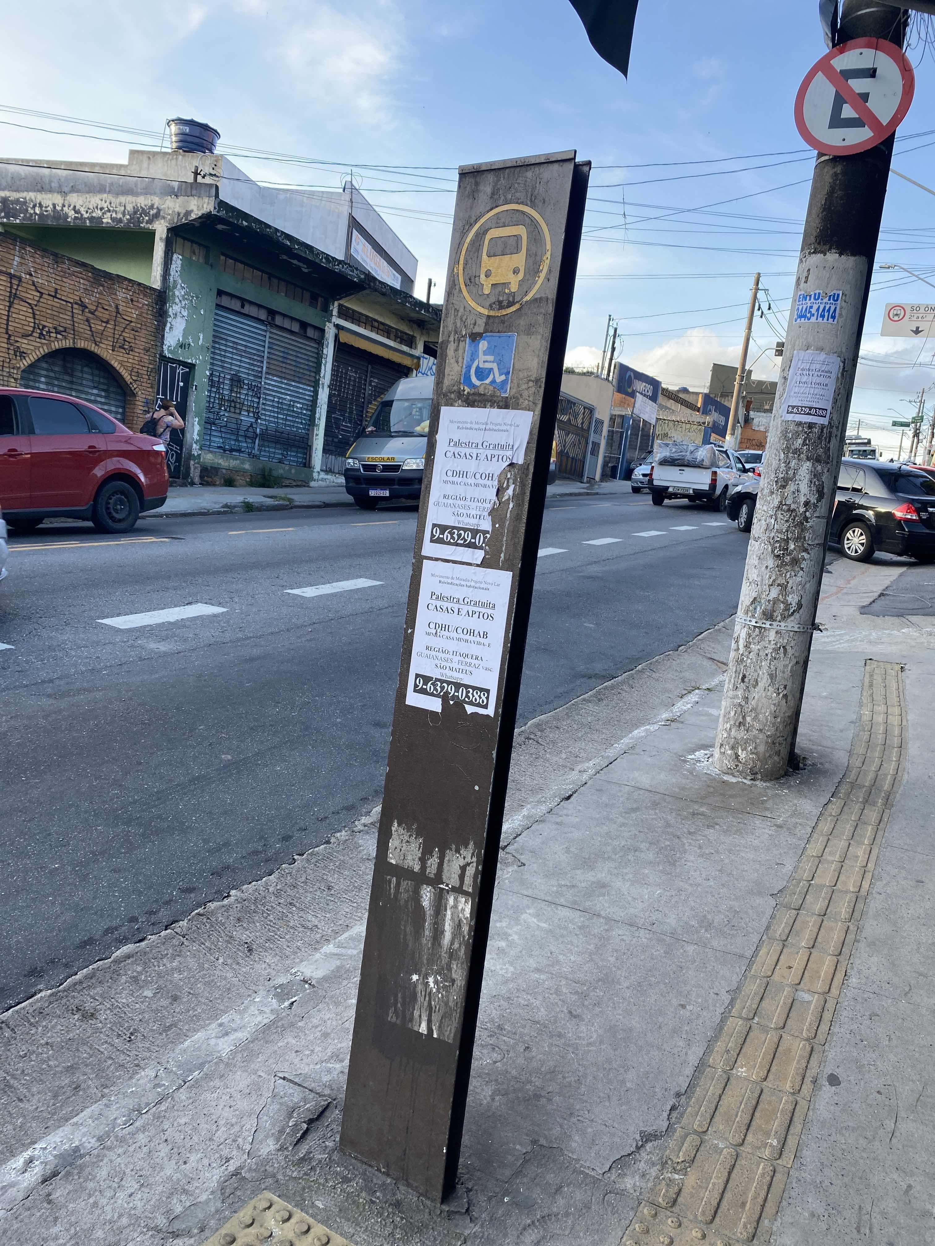 Taken by Anonymous
See R. Cap. Pucci, 400 stop, Lajeado, on the map
Public transit to R. Cap. Pucci, 400 stop in Lajeado
Looking for directions to R. Cap. Pucci, 400 in Lajeado, Brazil?
Download the Moovit App to find the current schedule and step-by-step directions for Bus or Train routes that pass through R. Cap. Pucci, 400.
Looking for the nearest stops closest to R. Cap. Pucci, 400 ? Check out this list of closest stops to your destination: Rua Capitão Pucci 307; R. Gaspar Aranha; R. Gaspar Aranha; R. Cap. Pucci 126; R. Getulina; Rua Caranaiba; Guaianases.
Bus: 2059-10, 2202-10, 263C-10, 269, 2705-10, 407P-10, N305-11, 312N-10, N334-11, 2004-10, 2009-10, 2058-10, 2201-10, 2021-10, 3006-10, 3006-21, 293.Train: LINHA 11.
We make riding on public transit to R. Cap. Pucci, 400 easy, which is why over 1.7 billion users, including users in Lajeado trust Moovit as the best app for public transit.
Use the app to navigate to popular places including to the airport, hospital, stadium, grocery store, mall, coffee shop, school, college, and university.
The first line to this stop is N305-11, at 3:33 AM, and the last line is N305-11 at 2:33 AM.
180 Rua Capitao Pucci, São Paulo, Brazil
This stop serves SPTrans’s lines
- Rua Capitão Pucci 307,
- R. Gaspar Aranha, 77,
- R. Gaspar Aranha, 79,
- R. Cap. Pucci 126,
- R. Getulina, 98 - Guaianases, São Paulo,
- Rua Caranaiba
Bus stops near R. Cap. Pucci, 400 stop
- Guaianases
Train station near R. Cap. Pucci, 400 station
- Av. Pires do Rio, 3439,
- Rua Coronel Alfredo Flaquer- 257,
- Água Branca,
- Av. Dep. Emílio Carlos, 691,
- Jardim Belval,
- Av. Morumbi, 4884,
- Av. Nova Cantareira,
- Jurucê B/C,
- Parada 2,
- Av. Francisco Ferreira Lopes,
- Avenida Pompéia 1165,
- R. Isabel Schmidt, 368,
- Estrada Municipal Do Lambari (Congregacao Crista No Brasil),
- Avenida Charles Goodyear, 65,
- Rodovia Pedro Eroles Km 48,
- Ipiranga - B/C,
- Terminal João Dias (Plataforma Lateral),
- Av. Prof. Francisco Morato,
- R. Cerro Cora, 613,
- Av. Angélica, 1617
Popular public transit stations in Lajeado
Get around Lajeado by public transit!
Traveling around Lajeado has never been so easy. See step by step directions as you travel to any attraction, street or major public transit station. View bus and train schedules, arrival times, service alerts and detailed routes on a map, so you know exactly how to get to anywhere in Lajeado.
When traveling to any destination around Lajeado use Moovit's Live Directions with Get Off Notifications to know exactly where and how far to walk, how long to wait for your line, and how many stops are left. Moovit will alert you when it's time to get off — no need to constantly re-check whether yours is the next stop.
Wondering how to use public transit in Lajeado or how to pay for public transit in Lajeado? Moovit public transit app can help you navigate your way with public transit easily, and at minimum cost. It includes public transit fees, ticket prices, and costs. Looking for a map of Lajeado public transit lines? Moovit public transit app shows all public transit maps in Lajeado with all Bus, Train, Metro, Light Rail, Ferry, Gondola, Cable Car and Funicular routes and stops on an interactive map.
Sao Paulo Region has 8 transit type(s), including: Bus, Train, Metro, Light Rail, Ferry, Gondola, Cable Car and Funicular, operated by several transit agencies, including SPTrans, CPTM, ViaMobilidade, Aquático SP, SPTRANS, EMTU, ViaQuatro, Auto Ônibus Moratense, GRU Airport (Aeroporto de Guarulhos), Auto Viação Urubupungá (Cajamar), Viação Cometa, Auto Viação Urubupungá (Osasco), Viação Ultra / Rápido Brasil, Auto Viação Urubupungá (Santana de Parnaíba) and Expresso Luxo