R. Card. Arcoverde, 2026 stop - Wednesday schedule
| Line | Direction | Time |
|---|---|---|
| N202-11 | Term. Pinheiros | 3:22 AM |
| N205-11 | Term. Pinheiros | 3:24 AM |
| N834-11 | Term. Pinheiros | 3:40 AM |
| N202-11 | Term. Pinheiros | 4:02 AM |
| N205-11 | Term. Pinheiros | 4:04 AM |
| 856R-10 | Socorro | 4:28 AM |
| 177Y-10 | Pinheiros | 4:31 AM |
| N202-11 | Term. Pinheiros | 4:42 AM |
| N205-11 | Term. Pinheiros | 4:44 AM |
| N834-11 | Term. Pinheiros | 4:45 AM |
| 856R-10 | Socorro | 4:48 AM |
| 177Y-10 | Pinheiros | 4:51 AM |
| 7002-10 | Hosp. das Clínicas | 4:55 AM |
| 209P-10 | Term. Pinheiros | 4:58 AM |
| 177Y-10 | Pinheiros | 5:07 AM |
| 7002-10 | Hosp. das Clínicas | 5:08 AM |
| 856R-10 | Socorro | 5:09 AM |
| 847P-10 | Vl. Olímpia | 5:13 AM |
| 177H-10 | Cid. Universitária | 5:14 AM |
| 199D-10 | Term. Pinheiros | 5:19 AM |
| 209P-10 | Term. Pinheiros | 5:20 AM |
| 7002-10 | Hosp. das Clínicas | 5:21 AM |
| 177Y-10 | Pinheiros | 5:23 AM |
| 847P-10 | Vl. Olímpia | 5:29 AM |
| 775F-10 | Jd. das Palmas | 5:29 AM |
Directions to R. Card. Arcoverde, 2026 stop (Pinheiros) with public transit
The following transit lines have routes that pass near R. Card. Arcoverde, 2026
 Bus: 199D-10, 209P-1, 209P-10, 322, 378.
- Metro: LINHA 4.
- Train: LINHA 9.
How to get to R. Card. Arcoverde, 2026 stop by bus?
Click on the bus route to see step by step directions with maps, line arrival times and updated time schedules.
How to get to R. Card. Arcoverde, 2026 stop by train?
Click on the train route to see step by step directions with maps, line arrival times and updated time schedules.
How to get to R. Card. Arcoverde, 2026 stop by metro?
Click on the metro route to see step by step directions with maps, line arrival times and updated time schedules.
Bus stops near R. Card. Arcoverde, 2026 stop in Pinheiros
- Rua Cardeal Arcoverde, 1992, 3 min walk,
- Av. Pedroso de Morais, 793 - Pinheiros, São Paulo, 3 min walk,
- Rua Cardeal Arcoverde, 2252, 4 min walk,
- Rua Mourato Coelho,716, 4 min walk,
- R. Pedro Cristi, 46, 4 min walk,
- Rua Teodoro Sampaio 2215, 4 min walk,
- Rua Teodoro Sampaio, 2133, 5 min walk,
- R. Pedro Cristi, 5 min walk,
- Bartolomeu Zunega, 5 min walk,
Metro stations near R. Card. Arcoverde, 2026 station in Pinheiros
- Faria Lima, 10 min walk,
Train stations near R. Card. Arcoverde, 2026 station in Pinheiros
- Hebraica-Rebouças, 23 min walk,
Bus lines to R. Card. Arcoverde, 2026 stop in Pinheiros
- 138, Osasco (Munhoz Junior) - Sao Paulo (Metro Vila Madalena),
- 378, Sao Paulo (Metro Paraiso) - Santana de Parnaiba (Terminal Rodoviario Alphaville),
- 827, Santana de Parnaiba (Terminal Rodoviario da Fazendinha) - Sao Paulo (Metro Paraiso),
- 058, Sao Paulo (Pinheiros) - Osasco (Terminal Rodoviario Helena Maria),
- 080, Osasco (Jardim Bonanca) - Sao Paulo (Pinheiros),
- 211, Sao Paulo (Pinheiros) - Osasco (Vila Menck),
- 309, Santana de Parnaiba (Parque Santana) - Sao Paulo (Pinheiros),
- 322, Barueri (Parque Imperial) - Sao Paulo (Pinheiros),
- 386, Santana de Parnaiba (Varzea de Souza) - Sao Paulo (Pinheiros),
- N202-11, Metrô Santana - Terminal Pinheiros,
- N205-11, Terminal Cachoeirinha - Terminal Pinheiros,
- 775F-10, Jardim Das Palmas - Hospital Das Clínicas,
- N834-11, Terminal Lapa - Terminal Pinheiros (Circular),
- 847P-10, Terminal Pirituba - Vila Olímpia,
- 847P-42, Brasilândia - Vila Olímpia,
- 856R-10, Lapa - Socorro,
- 6232-10, Pinheiros/Vila Ida - Metrô Barra Funda,
- 6250-10, Jardim Jaqueline - Terminal Bandeira,
- 701A-10, Pq. Edu Chaves,
- 846M-10, Term. Pinheiros,
What are the closest stations to R. Card. Arcoverde, 2026?
The closest stations to R. Card. Arcoverde, 2026 are:
- Rua Cardeal Arcoverde, 1992 stop is 164 meters away, 3 min walk.
- Av. Pedroso de Morais, 793 - Pinheiros, São Paulo stop is 204 meters away, 3 min walk.
- Rua Cardeal Arcoverde, 2252 stop is 260 meters away, 4 min walk.
- Rua Mourato Coelho,716 stop is 261 meters away, 4 min walk.
- R. Pedro Cristi, 46 stop is 284 meters away, 4 min walk.
- Rua Teodoro Sampaio 2215 stop is 299 meters away, 4 min walk.
- Rua Teodoro Sampaio, 2133 stop is 332 meters away, 5 min walk.
- R. Pedro Cristi stop is 334 meters away, 5 min walk.
- Bartolomeu Zunega stop is 347 meters away, 5 min walk.
- Faria Lima station is 730 meters away, 10 min walk.
- Hebraica-Rebouças station is 1760 meters away, 23 min walk.
Which bus lines stop near R. Card. Arcoverde, 2026?
These bus lines stop near R. Card. Arcoverde, 2026: 199D-10, 209P-1, 209P-10, 322, 378, 775F-10, 909T-10.
Which metro line stops near R. Card. Arcoverde, 2026?
LINHA 4 (São Paulo-Morumbi)
Which train line stops near R. Card. Arcoverde, 2026?
LINHA 9 (Grajaú)
What’s the nearest metro station to R. Card. Arcoverde, 2026 in Pinheiros?
The nearest metro station to R. Card. Arcoverde, 2026 in Pinheiros is Faria Lima. It’s a 10 min walk away.
What’s the nearest train station to R. Card. Arcoverde, 2026 in Pinheiros?
The nearest train station to R. Card. Arcoverde, 2026 in Pinheiros is Hebraica-Rebouças. It’s a 23 min walk away.
What’s the nearest bus station to R. Card. Arcoverde, 2026 in Pinheiros?
The nearest bus stations to R. Card. Arcoverde, 2026 in Pinheiros are Rua Cardeal Arcoverde, 1992 and Av. Pedroso de Morais, 793 - Pinheiros, São Paulo. The closest one is a 3 min walk away.
What time is the first metro to R. Card. Arcoverde, 2026 in Pinheiros?
The LINHA 4 is the first metro that goes to R. Card. Arcoverde, 2026 in Pinheiros. It stops nearby at 4:41 AM.
What time is the last metro to R. Card. Arcoverde, 2026 in Pinheiros?
The LINHA 4 is the last metro that goes to R. Card. Arcoverde, 2026 in Pinheiros. It stops nearby at 12:11 AM.
What time is the first train to R. Card. Arcoverde, 2026 in Pinheiros?
The LINHA 9 is the first train that goes to R. Card. Arcoverde, 2026 in Pinheiros. It stops nearby at 4:13 AM.
What time is the last train to R. Card. Arcoverde, 2026 in Pinheiros?
The LINHA 9 is the last train that goes to R. Card. Arcoverde, 2026 in Pinheiros. It stops nearby at 12:27 AM.
What time is the first bus to R. Card. Arcoverde, 2026 in Pinheiros?
The N202-11 is the first bus that goes to R. Card. Arcoverde, 2026 in Pinheiros. It stops nearby at 3:23 AM.
What time is the last bus to R. Card. Arcoverde, 2026 in Pinheiros?
The N205-11 is the last bus that goes to R. Card. Arcoverde, 2026 in Pinheiros. It stops nearby at 3:25 AM.
R. Card. Arcoverde, 2026 station
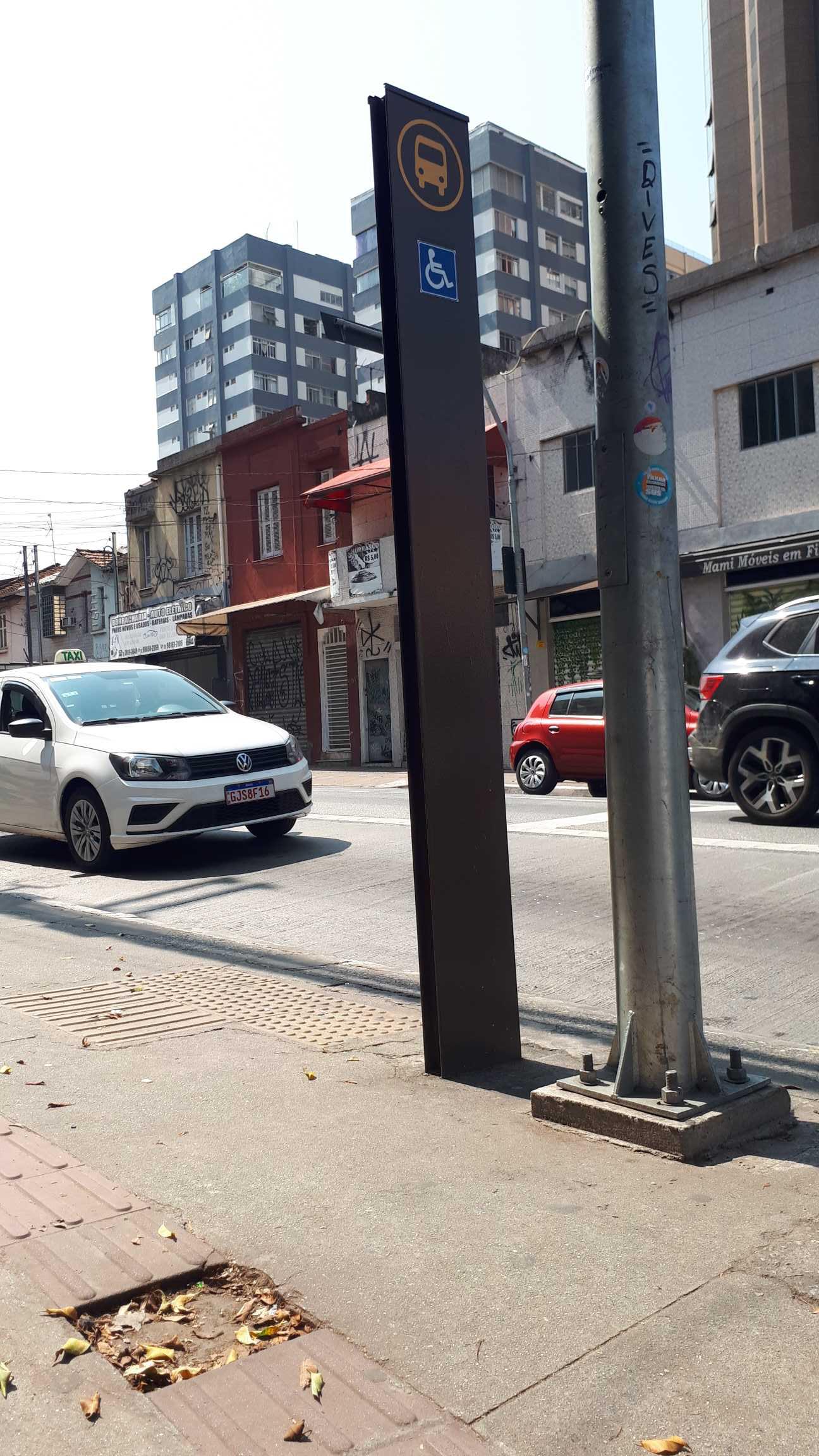 Taken by Anonymous
See R. Card. Arcoverde, 2026 stop, Pinheiros, on the map
Public transit to R. Card. Arcoverde, 2026 stop in Pinheiros
Looking for directions to R. Card. Arcoverde, 2026 in Pinheiros, Brazil?
Download the Moovit App to find the current schedule and step-by-step directions for Bus, Metro or Train routes that pass through R. Card. Arcoverde, 2026.
Looking for the nearest stops closest to R. Card. Arcoverde, 2026 ? Check out this list of closest stops to your destination: Rua Cardeal Arcoverde; Av. Pedroso de Morais; Rua Cardeal Arcoverde; Rua Mourato Coelho,716; R. Pedro Cristi; Rua Teodoro Sampaio 2215; Rua Teodoro Sampaio; R. Pedro Cristi; Bartolomeu Zunega; Faria Lima; Hebraica-Rebouças.
Bus: 199D-10, 209P-1, 209P-10, 322, 378, 775F-10, 909T-10, 138, 827, 058, 080, 211, 309, N202-11, N205-11, N834-11, 847P-10, 701A-10, 846M-10.Metro: LINHA 4.Train: LINHA 9.
We make riding on public transit to R. Card. Arcoverde, 2026 easy, which is why over 1.7 billion users, including users in Pinheiros trust Moovit as the best app for public transit.
Use the app to navigate to popular places including to the airport, hospital, stadium, grocery store, mall, coffee shop, school, college, and university.
The first line to this stop is N202-11, at 3:22 AM, and the last line is N205-11 at 2:44 AM.
2029 Rua Cardeal Arcoverde, São Paulo, Brazil
This stop serves SPTrans’s lines
Popular routes from R. Card. Arcoverde, 2026 stop, Pinheiros
- Rua Cardeal Arcoverde, 1992,
- Av. Pedroso de Morais, 793 - Pinheiros, São Paulo,
- Rua Cardeal Arcoverde, 2252,
- Rua Mourato Coelho,716,
- R. Pedro Cristi, 46,
- Rua Teodoro Sampaio 2215,
- Rua Teodoro Sampaio, 2133,
- R. Pedro Cristi,
- Bartolomeu Zunega
Bus stops near R. Card. Arcoverde, 2026 stop
- Faria Lima
Metro station near R. Card. Arcoverde, 2026 station
- Hebraica-Rebouças
Train station near R. Card. Arcoverde, 2026 station
- R. Odilon Dantas Cortez, 306,
- R. Clemente Alvares 233,
- Av. do Jangadeiro, 378,
- Parada Treze de Maio,
- Av. Tiradentes, 615,
- Parada Matriz (São Bernardo),
- Rua Cônego Vicente Miguel Marino, 29,
- Av. Otto Baumgart, 1000,
- R. Gomes de Carvalho, 1507,
- Av. José Alves de Mira, 185,
- Avenida Professor Ascendino Reis, 2524 • Metrô Aacd-Servidor,
- R. Amadeu Gamberini, 163,
- R. Feitiço da Vila, 86,
- Parque Ibirapuera,
- Parada 1/2/3 - Concórdia,
- Avenida Professor Vicente Rao,
- R. João Ventura Batista, 615,
- R. Francisco Fanganiello, 127,
- Avenida Assembléia, 186,
- Av. do Estado
Popular public transit stations in Pinheiros
Get around Pinheiros by public transit!
Traveling around Pinheiros has never been so easy. See step by step directions as you travel to any attraction, street or major public transit station. View bus and train schedules, arrival times, service alerts and detailed routes on a map, so you know exactly how to get to anywhere in Pinheiros.
When traveling to any destination around Pinheiros use Moovit's Live Directions with Get Off Notifications to know exactly where and how far to walk, how long to wait for your line, and how many stops are left. Moovit will alert you when it's time to get off — no need to constantly re-check whether yours is the next stop.
Wondering how to use public transit in Pinheiros or how to pay for public transit in Pinheiros? Moovit public transit app can help you navigate your way with public transit easily, and at minimum cost. It includes public transit fees, ticket prices, and costs. Looking for a map of Pinheiros public transit lines? Moovit public transit app shows all public transit maps in Pinheiros with all Bus, Train, Metro, Light Rail, Ferry, Gondola, Cable Car and Funicular routes and stops on an interactive map.
Sao Paulo Region has 8 transit type(s), including: Bus, Train, Metro, Light Rail, Ferry, Gondola, Cable Car and Funicular, operated by several transit agencies, including SPTrans, CPTM, ViaMobilidade, Aquático SP, SPTRANS, EMTU, ViaQuatro, Auto Ônibus Moratense, GRU Airport (Aeroporto de Guarulhos), Auto Viação Urubupungá (Cajamar), Viação Cometa, Auto Viação Urubupungá (Osasco), Viação Ultra / Rápido Brasil, Auto Viação Urubupungá (Santana de Parnaíba) and Expresso Luxo