R. Cardon, 1131 stop - Wednesday schedule
| Line | Direction | Time |
|---|---|---|
| 2734-10 | Jd. Campos | 4:44 AM |
| 2523-10 | Vl. Progresso | 4:46 AM |
| 2731-10 | Vl. Progresso | 4:48 AM |
| 2734-10 | Jd. Campos | 4:56 AM |
| 2731-10 | Vl. Progresso | 4:56 AM |
| 2704-10 | Jd. Robru | 4:56 AM |
| 2731-10 | Vl. Progresso | 5:04 AM |
| 2523-10 | Vl. Progresso | 5:07 AM |
| 2704-10 | Jd. Robru | 5:07 AM |
| 2734-10 | Jd. Campos | 5:09 AM |
| 2731-10 | Vl. Progresso | 5:13 AM |
| 2704-10 | Jd. Robru | 5:16 AM |
| 2734-10 | Jd. Campos | 5:19 AM |
| 2731-10 | Vl. Progresso | 5:20 AM |
| 2704-10 | Jd. Robru | 5:24 AM |
| 2522-10 | Jd. Sto. Antônio | 5:24 AM |
| 2780-10 | Jd. Camargo Novo | 5:24 AM |
| 2734-10 | Jd. Campos | 5:27 AM |
| 2731-10 | Vl. Progresso | 5:27 AM |
| 2523-10 | Vl. Progresso | 5:29 AM |
| 2704-10 | Jd. Robru | 5:32 AM |
| 2731-10 | Vl. Progresso | 5:34 AM |
| 2734-10 | Jd. Campos | 5:35 AM |
| 2704-10 | Jd. Robru | 5:40 AM |
| 2731-10 | Vl. Progresso | 5:41 AM |
Directions to R. Cardon, 1131 stop (São Miguel) with public transit
The following transit lines have routes that pass near R. Cardon, 1131
 Bus: 2522-10, 2523-10, 2704-10, 2731-10, 2734-10.
- Train: LINHA 12, LINHA 11.
How to get to R. Cardon, 1131 stop by bus?
Click on the bus route to see step by step directions with maps, line arrival times and updated time schedules.
How to get to R. Cardon, 1131 stop by train?
Click on the train route to see step by step directions with maps, line arrival times and updated time schedules.
Bus stops near R. Cardon, 1131 stop in São Miguel
- R. Laurentino Xavier dos Santos, 402, 3 min walk,
- R. Erva Prata, 127, 3 min walk,
- R. Cardon, 765, 4 min walk,
- R. Suzana de Melo, 154, 5 min walk,
- Av. Pires do Rio, 2856, 6 min walk,
- Av. Pires do Rio, 2593 - Vila Progresso (Zona Leste), São Paulo, 6 min walk,
- R. Suzana de Melo, 368, 6 min walk,
Train stations near R. Cardon, 1131 station in São Miguel
- José Bonifácio, 24 min walk,
- São Miguel Paulista, 48 min walk,
Bus lines to R. Cardon, 1131 stop in São Miguel
- 2731-10, Metrô Itaquera,
- 273V-10, Parada XV de Novembro,
- 2522-10, Jardim Santo Antônio - Metrô Itaquera,
- 2523-10, Vila Progresso - Terminal A. E. Carvalho,
- 2704-10, Jardim Robru - Metrô Itaquera,
- 2734-10, Jardim Campos - Metrô Itaquera,
- 2755-10, Guaianases - Metrô Penha,
- 2780-10, Jardim Camargo Novo - Metrô Itaquera,
- 273R-42, Metrô Itaquera,
- 233A-10, Jardim Helena - Terminal Vila Carrão,
- 273F-10, Vila Mara - Metrô Itaquera,
- 273L-10, Cptm José Bonifácio - Metrô Artur Alvim,
- N306-11, Terminal São Miguel - Metrô Itaquera,
- 352A-10, Jardim Helena - Terminal São Mateus,
- 2721-10, Jardim Nazaré - Metrô Itaquera,
- 2723-10, União De Vila Nova - Metrô Itaquera,
- 2766-10, Jardim Camargo Velho - Metrô Itaquera,
- 2766-41, Jardim Indaiá - Metrô Itaquera,
- 319, Guarulhos (Vila Any),
- N340-11, Jd. Sto. Antônio,
What are the closest stations to R. Cardon, 1131?
The closest stations to R. Cardon, 1131 are:
- R. Laurentino Xavier dos Santos, 402 stop is 177 meters away, 3 min walk.
- R. Erva Prata, 127 stop is 224 meters away, 3 min walk.
- R. Cardon, 765 stop is 305 meters away, 4 min walk.
- R. Suzana de Melo, 154 stop is 346 meters away, 5 min walk.
- Av. Pires do Rio, 2856 stop is 419 meters away, 6 min walk.
- Av. Pires do Rio, 2593 - Vila Progresso (Zona Leste), São Paulo stop is 425 meters away, 6 min walk.
- R. Suzana de Melo, 368 stop is 427 meters away, 6 min walk.
- José Bonifácio station is 1852 meters away, 24 min walk.
- São Miguel Paulista station is 3757 meters away, 48 min walk.
Which bus lines stop near R. Cardon, 1131?
These bus lines stop near R. Cardon, 1131: 2522-10, 2523-10, 2704-10, 2731-10, 2734-10, 273V-10, 2755-10, 2780-10.
Which train line stops near R. Cardon, 1131?
LINHA 12 (Calmon Viana)
What’s the nearest train station to R. Cardon, 1131 in São Miguel?
The nearest train station to R. Cardon, 1131 in São Miguel is José Bonifácio. It’s a 24 min walk away.
What’s the nearest bus station to R. Cardon, 1131 in São Miguel?
The nearest bus stations to R. Cardon, 1131 in São Miguel are R. Laurentino Xavier dos Santos, 402 and R. Erva Prata, 127. The closest one is a 3 min walk away.
What time is the first train to R. Cardon, 1131 in São Miguel?
The LINHA 11 is the first train that goes to R. Cardon, 1131 in São Miguel. It stops nearby at 4:00 AM.
What time is the last train to R. Cardon, 1131 in São Miguel?
The LINHA 11 is the last train that goes to R. Cardon, 1131 in São Miguel. It stops nearby at 12:39 AM.
What time is the first bus to R. Cardon, 1131 in São Miguel?
The N306-11 is the first bus that goes to R. Cardon, 1131 in São Miguel. It stops nearby at 3:17 AM.
What time is the last bus to R. Cardon, 1131 in São Miguel?
The N306-11 is the last bus that goes to R. Cardon, 1131 in São Miguel. It stops nearby at 2:47 AM.
R. Cardon, 1131 station
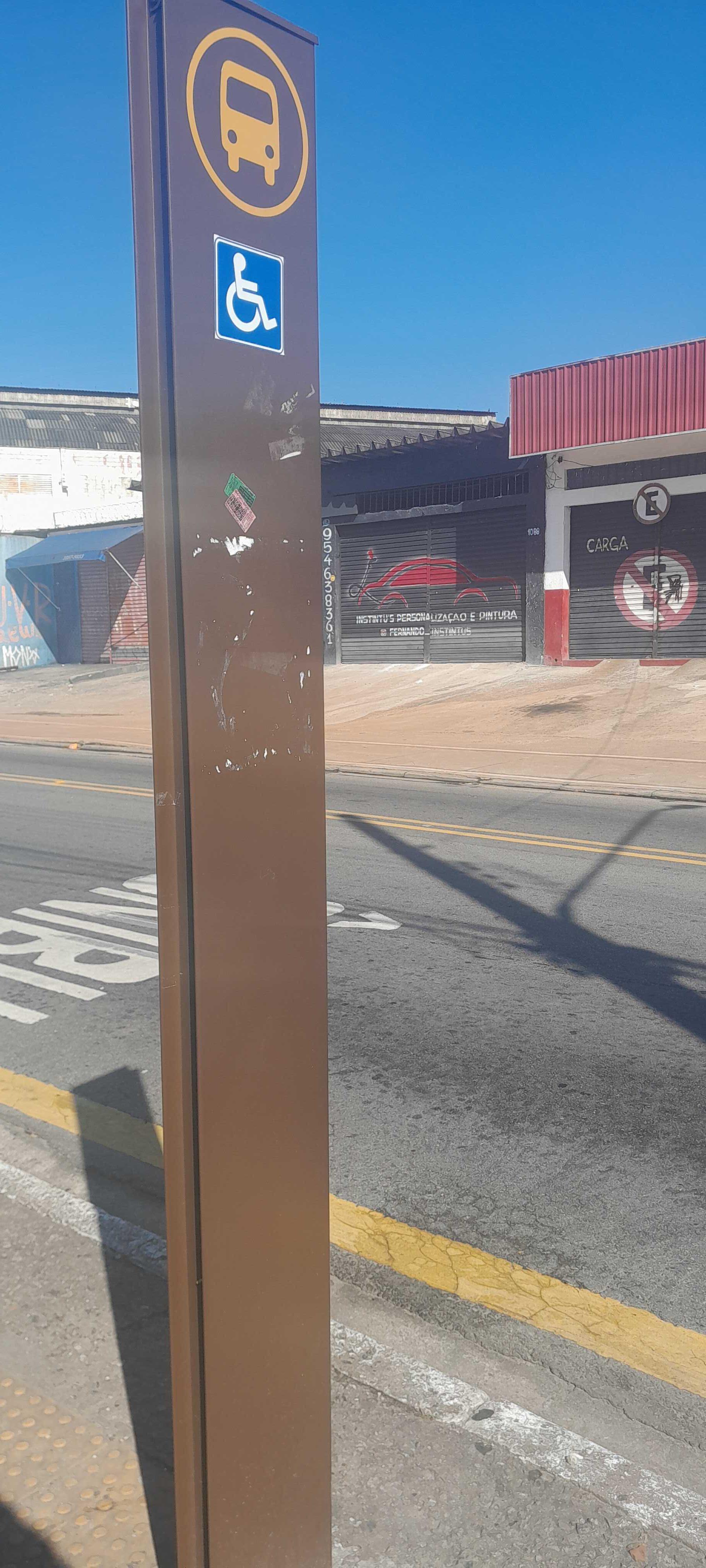 Taken by Anonymous
See R. Cardon, 1131 stop, São Miguel, on the map
Public transit to R. Cardon, 1131 stop in São Miguel
Looking for directions to R. Cardon, 1131 in São Miguel, Brazil?
Download the Moovit App to find the current schedule and step-by-step directions for Bus or Train routes that pass through R. Cardon, 1131.
Looking for the nearest stops closest to R. Cardon, 1131 ? Check out this list of closest stops to your destination: R. Laurentino Xavier dos Santos; R. Erva Prata; R. Cardon; R. Suzana de Melo; Av. Pires do Rio; Av. Pires do Rio; R. Suzana de Melo; José Bonifácio; São Miguel Paulista.
Bus: 2522-10, 2523-10, 2704-10, 2731-10, 2734-10, 273V-10, 2755-10, 2780-10, 273R-42.Train: LINHA 12, LINHA 11.
We make riding on public transit to R. Cardon, 1131 easy, which is why over 1.7 billion users, including users in São Miguel trust Moovit as the best app for public transit.
Use the app to navigate to popular places including to the airport, hospital, stadium, grocery store, mall, coffee shop, school, college, and university.
The first line to this stop is 2734-10, at 4:44 AM, and the last line is 2755-10 at 1:49 AM.
474 Avenida Inaja Guacu, São Paulo, Brazil
This stop serves SPTrans’s lines
- R. Laurentino Xavier dos Santos, 402,
- R. Erva Prata, 127,
- R. Cardon, 765,
- R. Suzana de Melo, 154,
- Av. Pires do Rio, 2856,
- Av. Pires do Rio, 2593 - Vila Progresso (Zona Leste), São Paulo,
- R. Suzana de Melo, 368
Bus stops near R. Cardon, 1131 stop
- José Bonifácio,
- São Miguel Paulista
Train stations near R. Cardon, 1131 station
- Av. José Alves de Mira, 185,
- Botujuru,
- Avenida Adolfo Pinheiro, 96,
- Terminal Jabaquara,
- Estrada Do Kiri,
- Av. da Liberdade, 47,
- Av. Pres. Juscelino Kubitschek, 1118,
- Pça. Nina Rodrigues,
- R. Dr. Flávio Américo Maurano, 831,
- Av. Amador Bueno da Veiga, 195 | Centro Médico São Gabriel - Penha de França, São Paulo,
- Terminal Do Jacira,
- Parada 1/2/3 - Júlio César da Silva,
- Avenida Nordestina, 4704,
- Av. Prof. Vicente Ráo, 1700,
- Rodovia Engenheiro Candido Do Rego Chaves (Sp-39) (Km 62-5 Sitio Pereira),
- Av. João Pedro Cardoso, 158,
- Av. Forte do Leme, 360,
- Avenida Engenheiro Luís Gomes Cardim Sangirardi,,
- R. Emília Marengo, 737,
- Estrada Municipal Santo Angelo (Bar Do Cosme)
Popular public transit stations in São Miguel
Get around São Miguel by public transit!
Traveling around São Miguel has never been so easy. See step by step directions as you travel to any attraction, street or major public transit station. View bus and train schedules, arrival times, service alerts and detailed routes on a map, so you know exactly how to get to anywhere in São Miguel.
When traveling to any destination around São Miguel use Moovit's Live Directions with Get Off Notifications to know exactly where and how far to walk, how long to wait for your line, and how many stops are left. Moovit will alert you when it's time to get off — no need to constantly re-check whether yours is the next stop.
Wondering how to use public transit in São Miguel or how to pay for public transit in São Miguel? Moovit public transit app can help you navigate your way with public transit easily, and at minimum cost. It includes public transit fees, ticket prices, and costs. Looking for a map of São Miguel public transit lines? Moovit public transit app shows all public transit maps in São Miguel with all Bus, Train, Metro, Light Rail, Ferry, Gondola, Cable Car and Funicular routes and stops on an interactive map.
Sao Paulo Region has 8 transit type(s), including: Bus, Train, Metro, Light Rail, Ferry, Gondola, Cable Car and Funicular, operated by several transit agencies, including SPTrans, CPTM, ViaMobilidade, Aquático SP, SPTRANS, EMTU, ViaQuatro, Auto Ônibus Moratense, GRU Airport (Aeroporto de Guarulhos), Auto Viação Urubupungá (Cajamar), Viação Cometa, Auto Viação Urubupungá (Osasco), Viação Ultra / Rápido Brasil, Auto Viação Urubupungá (Santana de Parnaíba) and Expresso Luxo