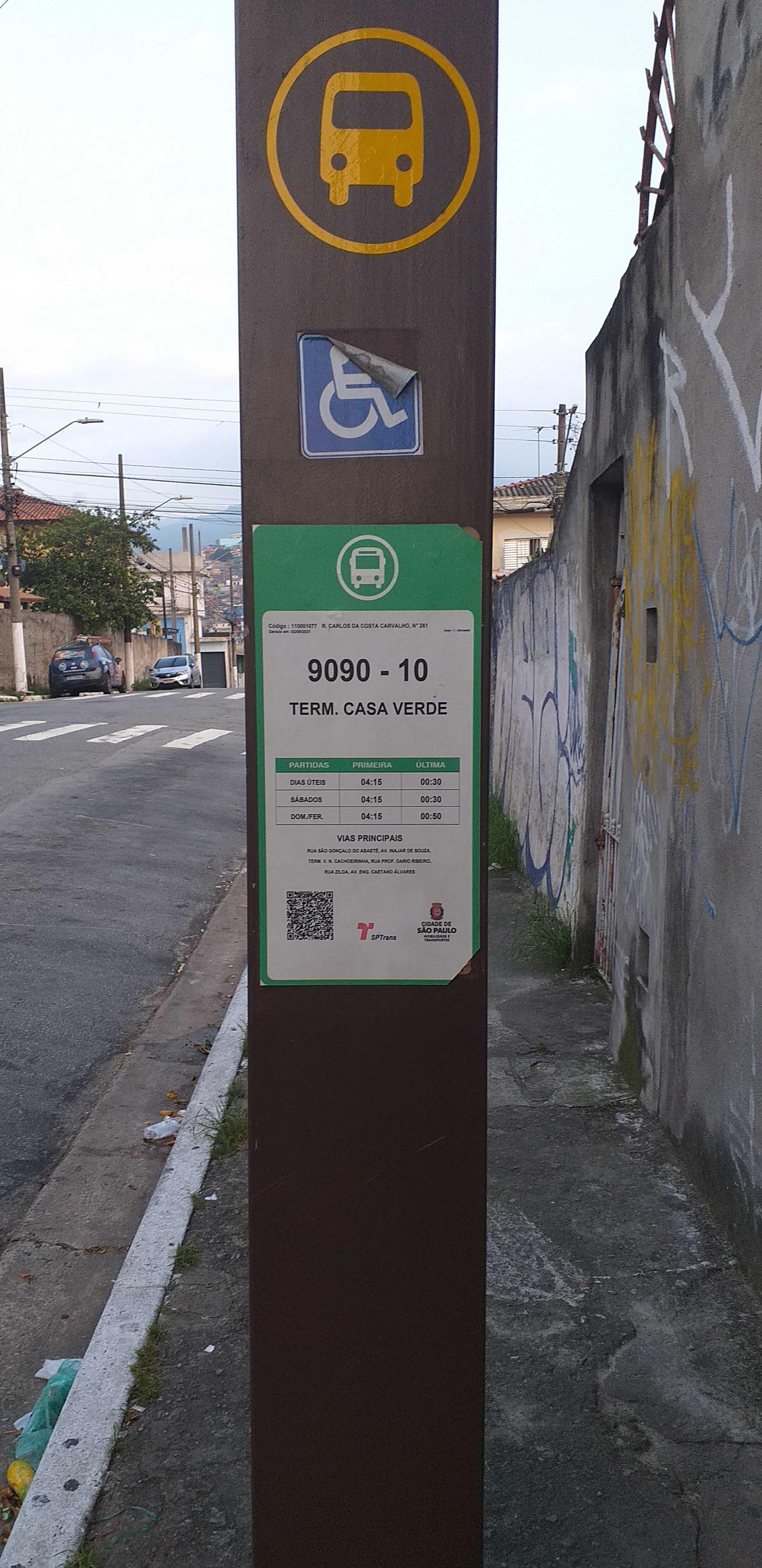
R. Carlos da Costa Carvalho, 261 stop - Thursday schedule
| Line | Direction | Time |
|---|---|---|
| 9090-10 | Term. Casa Verde | 4:15 AM |
| 9090-10 | Term. Casa Verde | 4:40 AM |
| 9090-10 | Term. Casa Verde | 5:00 AM |
| 9090-10 | Term. Casa Verde | 5:06 AM |
| 9090-10 | Term. Casa Verde | 5:20 AM |
| 9090-10 | Term. Casa Verde | 5:33 AM |
| 9090-10 | Term. Casa Verde | 5:40 AM |
| 9090-10 | Term. Casa Verde | 5:54 AM |
| 9090-10 | Term. Casa Verde | 6:00 AM |
| 9090-10 | Term. Casa Verde | 6:14 AM |
| 9090-10 | Term. Casa Verde | 6:15 AM |
| 9090-10 | Term. Casa Verde | 6:30 AM |
| 9090-10 | Term. Casa Verde | 6:34 AM |
| 9090-10 | Term. Casa Verde | 6:45 AM |
| 9090-10 | Term. Casa Verde | 6:54 AM |
| 9090-10 | Term. Casa Verde | 7:00 AM |
| 9090-10 | Term. Casa Verde | 7:12 AM |
| 9090-10 | Term. Casa Verde | 7:15 AM |
| 9090-10 | Term. Casa Verde | 7:30 AM |
| 9090-10 | Term. Casa Verde | 7:31 AM |
| 9090-10 | Term. Casa Verde | 7:45 AM |
| 9090-10 | Term. Casa Verde | 7:51 AM |
| 9090-10 | Term. Casa Verde | 8:00 AM |
| 9090-10 | Term. Casa Verde | 8:10 AM |
| 9090-10 | Term. Casa Verde | 8:15 AM |
Directions to R. Carlos da Costa Carvalho, 261 stop (Brasilândia) with public transit
The following transit lines have routes that pass near R. Carlos da Costa Carvalho, 261
 Bus: 9090-10, 938V-10, 957T-10, 971D-10, 971V-10.
How to get to R. Carlos da Costa Carvalho, 261 stop by bus?
Click on the bus route to see step by step directions with maps, line arrival times and updated time schedules.
Bus stops near R. Carlos da Costa Carvalho, 261 stop in Brasilândia
- R. Sílvio Bueno Peruche, 469, 3 min walk,
- R. S. Gonçalo do Abaete, 4 min walk,
- R. S. Gonçalo do Abaete, 230, 4 min walk,
- Av. Inajar de Souza, 5476, 7 min walk,
- Av. Gen. Penha Brasil, 1867, 8 min walk,
Bus lines to R. Carlos da Costa Carvalho, 261 stop in Brasilândia
- 9090-10, Term. Casa Verde,
- 938V-10, Jardim Vista Alegre - Metrô Barra Funda,
- 971D-10, Jardim Damasceno - Shopping Center Norte,
- 971V-10, Jardim Vista Alegre - Shopping Center Norte,
- N138-11, Jd. Princesa,
- 9004-10, Term. Cachoeirinha,
- 9191-10, Bom Retiro,
- 2013-10, Cachoeirinha,
- 9005-10, Jd. Princesa,
- 9005-41, Jd. Vista Alegre,
- 9005-42, Term. Cachoeirinha,
- 9784-10, Jd. dos Francos,
What are the closest stations to R. Carlos da Costa Carvalho, 261?
The closest stations to R. Carlos da Costa Carvalho, 261 are:
- R. Sílvio Bueno Peruche, 469 stop is 166 meters away, 3 min walk.
- R. S. Gonçalo do Abaete stop is 290 meters away, 4 min walk.
- R. S. Gonçalo do Abaete, 230 stop is 299 meters away, 4 min walk.
- Av. Inajar de Souza, 5476 stop is 481 meters away, 7 min walk.
- Av. Gen. Penha Brasil, 1867 stop is 584 meters away, 8 min walk.
Which bus lines stop near R. Carlos da Costa Carvalho, 261?
These bus lines stop near R. Carlos da Costa Carvalho, 261: 9090-10, 938V-10, 957T-10, 971D-10.
What’s the nearest bus station to R. Carlos da Costa Carvalho, 261 in Brasilândia?
The nearest bus station to R. Carlos da Costa Carvalho, 261 in Brasilândia is R. Sílvio Bueno Peruche, 469. It’s a 3 min walk away.
What time is the first bus to R. Carlos da Costa Carvalho, 261 in Brasilândia?
The N138-11 is the first bus that goes to R. Carlos da Costa Carvalho, 261 in Brasilândia. It stops nearby at 3:05 AM.
What time is the last bus to R. Carlos da Costa Carvalho, 261 in Brasilândia?
The N138-11 is the last bus that goes to R. Carlos da Costa Carvalho, 261 in Brasilândia. It stops nearby at 2:38 AM.
R. Carlos da Costa Carvalho, 261 station
 Taken by Anonymous
See R. Carlos da Costa Carvalho, 261 stop, Brasilândia, on the map
Public transit to R. Carlos da Costa Carvalho, 261 stop in Brasilândia
Looking for directions to R. Carlos da Costa Carvalho, 261 in Brasilândia, Brazil?
Download the Moovit App to find the current schedule and step-by-step directions for Bus or Train routes that pass through R. Carlos da Costa Carvalho, 261.
Looking for the nearest stops closest to R. Carlos da Costa Carvalho, 261 ? Check out this list of closest stops to your destination: R. Sílvio Bueno Peruche; R. S. Gonçalo do Abaete; R. S. Gonçalo do Abaete; Av. Inajar de Souza; Av. Gen. Penha Brasil.
Bus: 9090-10, 938V-10, 957T-10, 971D-10, 971V-10, N138-11, 9004-10, 9191-10, 2013-10, 9005-10, 9005-41, 9005-42, 9784-10.
We make riding on public transit to R. Carlos da Costa Carvalho, 261 easy, which is why over 1.7 billion users, including users in Brasilândia trust Moovit as the best app for public transit.
Use the app to navigate to popular places including to the airport, hospital, stadium, grocery store, mall, coffee shop, school, college, and university.
The first line to this stop is 9090-10, at 4:15 AM, and the last line is 9090-10 at 1:40 AM.
225 Rua Carlos Da Costa Carvalho, São Paulo, Brazil
This stop serves SPTrans’s lines
- R. Sílvio Bueno Peruche, 469,
- R. S. Gonçalo do Abaete,
- R. S. Gonçalo do Abaete, 230,
- Av. Inajar de Souza, 5476,
- Av. Gen. Penha Brasil, 1867
Bus stops near R. Carlos da Costa Carvalho, 261 stop
- J. K. B/C,
- R. Max Planck, 57,
- R. Da. Ana Nery, 929,
- Rodovia Régis Bittencourt - Br 116, Km 298,3,
- Trianon-Masp,
- Rua Doutor Miguel de Campos Júnior- 100,
- Avenida Presidente Tancredo Neves,
- Rua Joaquim Guimarães, 385,
- Avenida Nordestina 3720,
- R. Gustav Willi Borghoff, 480,
- Pirituba,
- R. Emília Marengo, 737,
- Estrada Mogi-Bertioga (Km 71-5 Prox.Est. Do Sepa),
- Parque Da Água Branca B/C,
- Av. Luís Stamatis, 716,
- Terminal Diadema,
- Av. Nova Cantareira, 3659,
- Estação Rua do Grito,
- Francisco Morato,
- Jurubatuba
Popular public transit stations in Brasilândia
Get around Brasilândia by public transit!
Traveling around Brasilândia has never been so easy. See step by step directions as you travel to any attraction, street or major public transit station. View bus and train schedules, arrival times, service alerts and detailed routes on a map, so you know exactly how to get to anywhere in Brasilândia.
When traveling to any destination around Brasilândia use Moovit's Live Directions with Get Off Notifications to know exactly where and how far to walk, how long to wait for your line, and how many stops are left. Moovit will alert you when it's time to get off — no need to constantly re-check whether yours is the next stop.
Wondering how to use public transit in Brasilândia or how to pay for public transit in Brasilândia? Moovit public transit app can help you navigate your way with public transit easily, and at minimum cost. It includes public transit fees, ticket prices, and costs. Looking for a map of Brasilândia public transit lines? Moovit public transit app shows all public transit maps in Brasilândia with all Bus, Train, Metro, Light Rail, Ferry, Gondola, Cable Car and Funicular routes and stops on an interactive map.
Sao Paulo Region has 8 transit type(s), including: Bus, Train, Metro, Light Rail, Ferry, Gondola, Cable Car and Funicular, operated by several transit agencies, including SPTrans, CPTM, ViaMobilidade, Aquático SP, SPTRANS, EMTU, ViaQuatro, Auto Ônibus Moratense, GRU Airport (Aeroporto de Guarulhos), Auto Viação Urubupungá (Cajamar), Viação Cometa, Auto Viação Urubupungá (Osasco), Viação Ultra / Rápido Brasil, Auto Viação Urubupungá (Santana de Parnaíba) and Expresso Luxo