R. Castro Alves, 99 stop - Thursday schedule
| Line | Direction | Time |
|---|---|---|
| H01 ARAUCÁRIA / GUADALUPE | Terminal Guadalupe → Terminal Araucária | 5:08 AM |
| H97 ANGÉLICA / GUADALUPE | Terminal Guadalupe → Terminal Angélica | 5:38 AM |
| H01 ARAUCÁRIA / GUADALUPE | Terminal Guadalupe → Terminal Araucária | 5:53 AM |
| H01 ARAUCÁRIA / GUADALUPE | Terminal Guadalupe → Terminal Araucária | 6:08 AM |
| G72 AREIA BRANCA / GUADALUPE | Terminal Guadalupe → Areia Branca | 6:26 AM |
| H97 ANGÉLICA / GUADALUPE | Terminal Guadalupe → Terminal Angélica | 6:33 AM |
| H01 ARAUCÁRIA / GUADALUPE | Terminal Guadalupe → Terminal Araucária | 6:38 AM |
| H01 ARAUCÁRIA / GUADALUPE | Terminal Guadalupe → Terminal Araucária | 6:48 AM |
| H01 ARAUCÁRIA / GUADALUPE | Terminal Guadalupe → Terminal Araucária | 6:58 AM |
| H97 ANGÉLICA / GUADALUPE | Terminal Guadalupe → Terminal Angélica | 7:13 AM |
| H01 ARAUCÁRIA / GUADALUPE | Terminal Guadalupe → Terminal Araucária | 7:21 AM |
| H01 ARAUCÁRIA / GUADALUPE | Terminal Guadalupe → Terminal Araucária | 7:32 AM |
| G72 AREIA BRANCA / GUADALUPE | Terminal Guadalupe → Areia Branca | 7:36 AM |
| H01 ARAUCÁRIA / GUADALUPE | Terminal Guadalupe → Terminal Araucária | 7:56 AM |
| H97 ANGÉLICA / GUADALUPE | Terminal Guadalupe → Terminal Angélica | 7:58 AM |
| H01 ARAUCÁRIA / GUADALUPE | Terminal Guadalupe → Terminal Araucária | 8:13 AM |
| G72 AREIA BRANCA / GUADALUPE | Terminal Guadalupe → Areia Branca | 8:36 AM |
| H01 ARAUCÁRIA / GUADALUPE | Terminal Guadalupe → Terminal Araucária | 8:40 AM |
| H97 ANGÉLICA / GUADALUPE | Terminal Guadalupe → Terminal Angélica | 8:43 AM |
| H01 ARAUCÁRIA / GUADALUPE | Terminal Guadalupe → Terminal Araucária | 9:21 AM |
| H97 ANGÉLICA / GUADALUPE | Terminal Guadalupe → Terminal Angélica | 9:33 AM |
| G72 AREIA BRANCA / GUADALUPE | Terminal Guadalupe → Areia Branca | 9:36 AM |
| H01 ARAUCÁRIA / GUADALUPE | Terminal Guadalupe → Terminal Araucária | 10:01 AM |
| H97 ANGÉLICA / GUADALUPE | Terminal Guadalupe → Terminal Angélica | 10:23 AM |
| H01 ARAUCÁRIA / GUADALUPE | Terminal Guadalupe → Terminal Araucária | 10:29 AM |
Directions to R. Castro Alves, 99 stop (Batel) with public transit
The following transit lines have routes that pass near R. Castro Alves, 99
 Bus: 250 LIGEIRÃO NORTE / SUL, 365 JARDIM SOCIAL / BATEL, 507 SÍTIO CERCADO (HORÁRIO), 701 FAZENDINHA, 778 COTOLENGO.
How to get to R. Castro Alves, 99 stop by bus?
Click on the bus route to see step by step directions with maps, line arrival times and updated time schedules.
Bus stops near R. Castro Alves, 99 stop in Batel
- Av. Sete De Setembro, 5317, 1 min walk,
- Av. Visconde de Guarapuava, 5332, 4 min walk,
- Av. do Batel, 1889 (Hospital Santa Cruz), 4 min walk,
- R. Gonçalves Dias, 300, 6 min walk,
- Av. Iguaçu, 3000, 6 min walk,
- Av. República Argentina, 220, 7 min walk,
Bus lines to R. Castro Alves, 99 stop in Batel
- 265 AHÚ / LOS ANGELES, Los Angeles → Ahú,
- 860 VILA SANDRA, Praça Rui Barbosa → Vila Sandra,
- 365 JARDIM SOCIAL / BATEL, Batel → Estação Fagundes Varela,
- 389 MAD. TARUMÃ / AUGUSTA, Praça Zacarias ↺ Augusta (Circular),
- 801 CAMPINA DO SIQUEIRA / BATEL, Praça Zacarias → Terminal Campina do Siqueira,
- 861 TRAMONTINA, Praça Rui Barbosa → Tramontina,
- 862 BARIGUI, Barigui → Praça Carlos Gomes,
- 725 BATEL / MOSSUNGUÊ, Batel → Mossunguê,
- 701 FAZENDINHA, FAZENDINHA,
- 703 CAIUÁ, CAIUÁ,
- 706 CAIUÁ - FAZENDINHA / CENTRO, CAIUÁ - FAZENDINHA / CENTRO,
- 760 SANTA QUITÉRIA, SANTA QUITÉRIA,
- 777 VILA VELHA, VILA VELHA,
- 778 COTOLENGO, COTOLENGO,
- 788 MAD. VILA VELHA, MAD. VILA VELHA,
- 789 MAD. CAIUÁ, MAD. CAIUÁ,
- 209 MAD. SANTA CÂNDIDA / CAPÃO RASO, Terminal Santa Cândida → Terminal Capão Raso,
- 609 MAD. CIC, Praça Rui Barbosa → Terminal CIC,
What are the closest stations to R. Castro Alves, 99?
The closest stations to R. Castro Alves, 99 are:
- Av. Sete De Setembro, 5317 stop is 51 meters away, 1 min walk.
- Av. Visconde de Guarapuava, 5332 stop is 229 meters away, 4 min walk.
- Av. do Batel, 1889 (Hospital Santa Cruz) stop is 271 meters away, 4 min walk.
- R. Gonçalves Dias, 300 stop is 395 meters away, 6 min walk.
- Av. Iguaçu, 3000 stop is 456 meters away, 6 min walk.
- Av. República Argentina, 220 stop is 517 meters away, 7 min walk.
Which bus lines stop near R. Castro Alves, 99?
These bus lines stop near R. Castro Alves, 99: 250 LIGEIRÃO NORTE / SUL, 365 JARDIM SOCIAL / BATEL, 507 SÍTIO CERCADO (HORÁRIO), 701 FAZENDINHA, 778 COTOLENGO, 801 CAMPINA DO SIQUEIRA / BATEL, 860 VILA SANDRA, G72 AREIA BRANCA / GUADALUPE, H01 ARAUCÁRIA / GUADALUPE.
What’s the nearest bus station to R. Castro Alves, 99 in Batel?
The nearest bus station to R. Castro Alves, 99 in Batel is Av. Sete De Setembro, 5317. It’s a 1 min walk away.
What time is the first bus to R. Castro Alves, 99 in Batel?
The 209 MAD. SANTA CÂNDIDA / CAPÃO RASO is the first bus that goes to R. Castro Alves, 99 in Batel. It stops nearby at 3:01 AM.
What time is the last bus to R. Castro Alves, 99 in Batel?
The 209 MAD. SANTA CÂNDIDA / CAPÃO RASO is the last bus that goes to R. Castro Alves, 99 in Batel. It stops nearby at 3:01 AM.
R. Castro Alves, 99 station
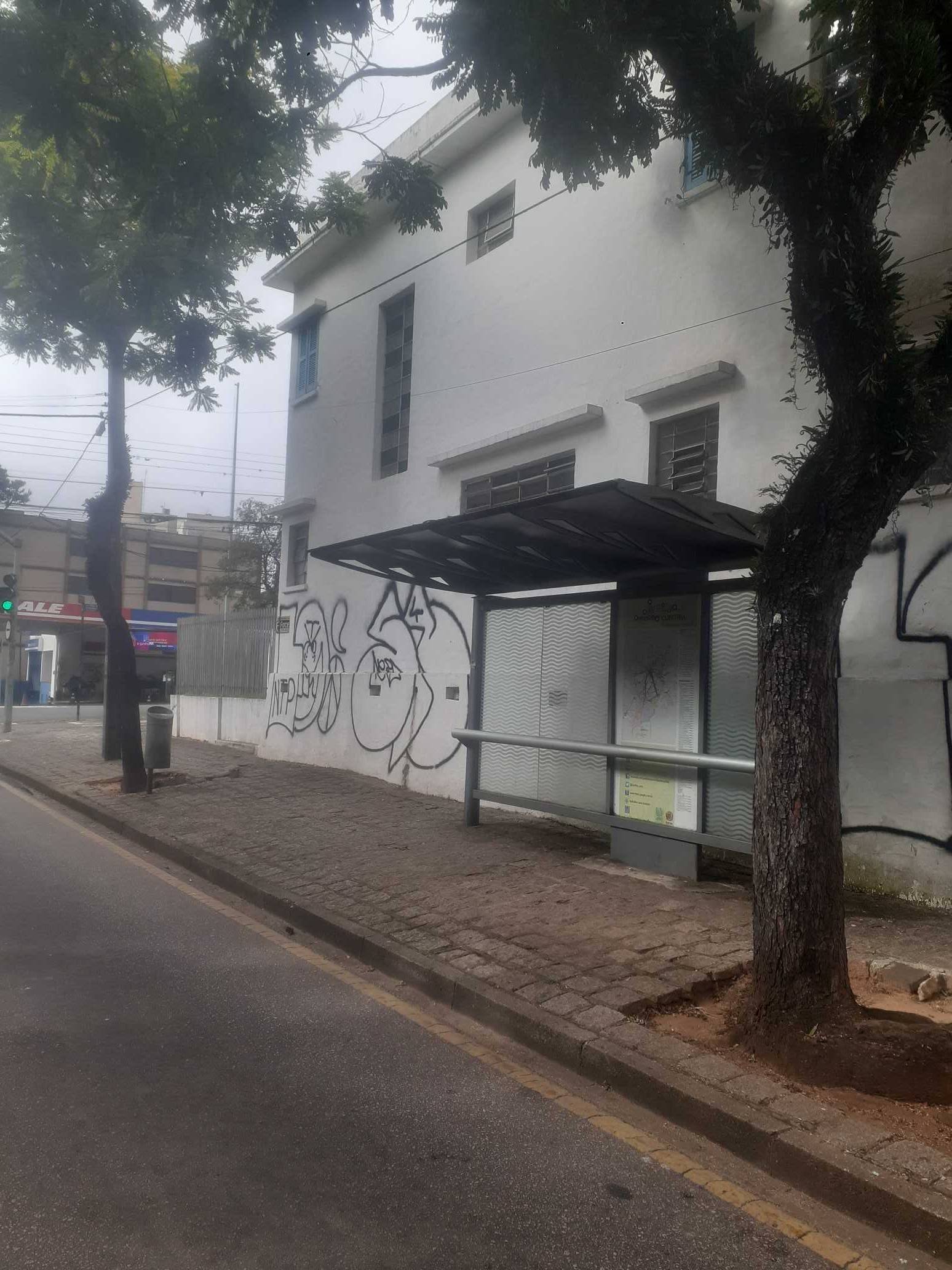 Taken by Anonymous
See R. Castro Alves, 99 stop, Batel, on the map
Public transit to R. Castro Alves, 99 stop (ID: 4201344) in Batel
Looking for directions to R. Castro Alves, 99 in Batel, Brazil?
Download the Moovit App to find the current schedule and step-by-step directions for Bus routes that pass through R. Castro Alves, 99.
Looking for the nearest stops closest to R. Castro Alves, 99 ? Check out this list of closest stops to your destination: Av. Sete De Setembro; Av. Visconde de Guarapuava; Av. do Batel; R. Gonçalves Dias; Av. Iguaçu; Av. República Argentina.
Bus: 250 LIGEIRÃO NORTE / SUL, 365 JARDIM SOCIAL / BATEL, 507 SÍTIO CERCADO (HORÁRIO), 701 FAZENDINHA, 778 COTOLENGO, 801 CAMPINA DO SIQUEIRA / BATEL, 860 VILA SANDRA, G72 AREIA BRANCA / GUADALUPE, H01 ARAUCÁRIA / GUADALUPE, 265 AHÚ / LOS ANGELES, 389 MAD. TARUMÃ / AUGUSTA, 861 TRAMONTINA, 862 BARIGUI, 725 BATEL / MOSSUNGUÊ, 703 CAIUÁ, 706 CAIUÁ - FAZENDINHA / CENTRO, 760 SANTA QUITÉRIA, 777 VILA VELHA, 209 MAD. SANTA CÂNDIDA / CAPÃO RASO, 609 MAD. CIC.
We make riding on public transit to R. Castro Alves, 99 easy, which is why over 1.7 billion users, including users in Batel trust Moovit as the best app for public transit.
Use the app to navigate to popular places including to the airport, hospital, stadium, grocery store, mall, coffee shop, school, college, and university.
R. Castro Alves, 99 stop’s code is 4201344
The first line to this stop is H01 ARAUCÁRIA / GUADALUPE, at 5:08 AM, and the last line is H01 ARAUCÁRIA / GUADALUPE at 12:32 AM.
5656 Avenida Sete De Setembro, Curitiba, Brazil
This stop serves AMEP (Cartões bancários / Cartão MetroCard / Dinheiro)’s lines
Popular routes from R. Castro Alves, 99 stop, Batel
- Av. Sete De Setembro, 5317,
- Av. Visconde de Guarapuava, 5332,
- Av. do Batel, 1889 (Hospital Santa Cruz),
- R. Gonçalves Dias, 300,
- Av. Iguaçu, 3000,
- Av. República Argentina, 220
Bus stops near R. Castro Alves, 99 stop
- R. Anneliese Gellert Krigsner, 3461,
- Rua Amélia Ivanchechen Leal,
- Rua Pe Domingos Marini 3,
- Rua Francisco Caetano Coradin, 42,
- Av. Anita Garibaldi, 1400,
- R. Deputado Cunha Bueno, 391,
- R. José Valle, 1801,
- R. Londrina, 288,
- R. Visconde de Nácar, 866,
- Av. Água Verde, 400,
- Av. Comendador Franco, 275,
- Rua Alfredo Miguel Baduy, 353,
- Av Crispim Furquim Siqueira, 1800,
- Terminal Metropolitano Guadalupe,
- Rua Nicolau José Gravina, 2002,
- R. Vereador Antônio Domakoski, 474,
- Av. Senador Salgado Filho, 4291,
- Rod. Curitiba Paranaguá BR-277 / Viveiro de Produção de Mudas Felipe Roberto Diapp,
- Linha Verde, 20163,
- Rua Francisca Beralde Paolini, 203
Popular public transit stations in Batel
Get around Batel by public transit!
Traveling around Batel has never been so easy. See step by step directions as you travel to any attraction, street or major public transit station. View bus and train schedules, arrival times, service alerts and detailed routes on a map, so you know exactly how to get to anywhere in Batel.
When traveling to any destination around Batel use Moovit's Live Directions with Get Off Notifications to know exactly where and how far to walk, how long to wait for your line, and how many stops are left. Moovit will alert you when it's time to get off — no need to constantly re-check whether yours is the next stop.
Wondering how to use public transit in Batel or how to pay for public transit in Batel? Moovit public transit app can help you navigate your way with public transit easily, and at minimum cost. It includes public transit fees, ticket prices, and costs. Looking for a map of Batel public transit lines? Moovit public transit app shows all public transit maps in Batel with all Bus and Cable Car routes and stops on an interactive map.
Curitiba Region has 2 transit type(s), including: Bus and Cable Car, operated by several transit agencies, including Sistema Integrado de Mobilidade (URBS), Sistema Integrado de Mobilidade (AMEP), URBS (Cartões bancários e Dinheiro), URBS (Cartões bancários / Cartão URBS), AMEP (Cartões bancários / Cartão MetroCard), AMEP (Cartões bancários / Cartão MetroCard / Dinheiro), Viação Colombo (Dinheiro), TRIAR (Cartão TRIAR / Dinheiro), Empresa Curitiba Cerro Azul (Dinheiro), Expresso Penha (Dinheiro), Empresa Campo Alto Tijucas (Dinheiro), Auto Viação São José (Cartão VEM / Dinheiro), BRT S/A (Cartão VEM / Dinheiro), TransPiedade (Cartão Cidadão / Dinheiro) and Oceânica Sul (Cartão Transporte / Dinheiro)